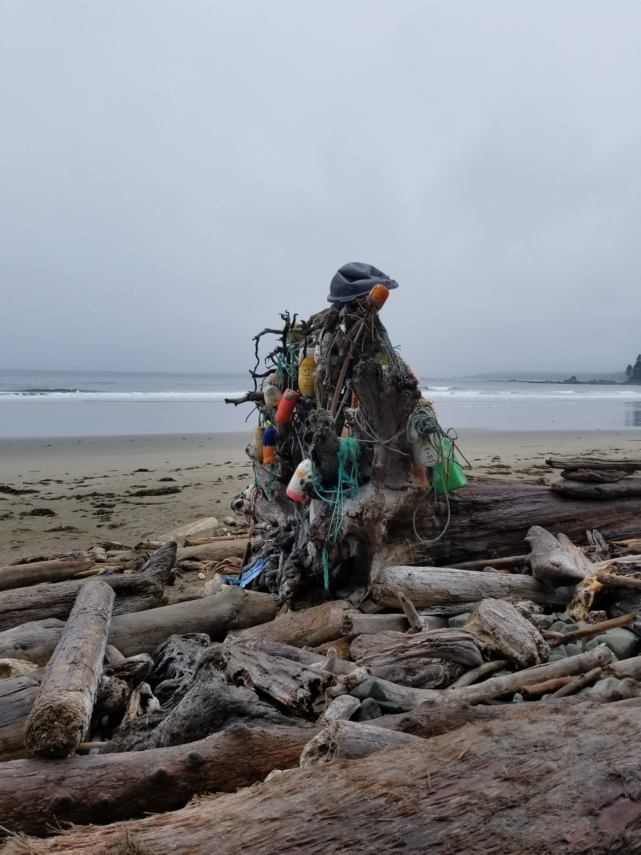
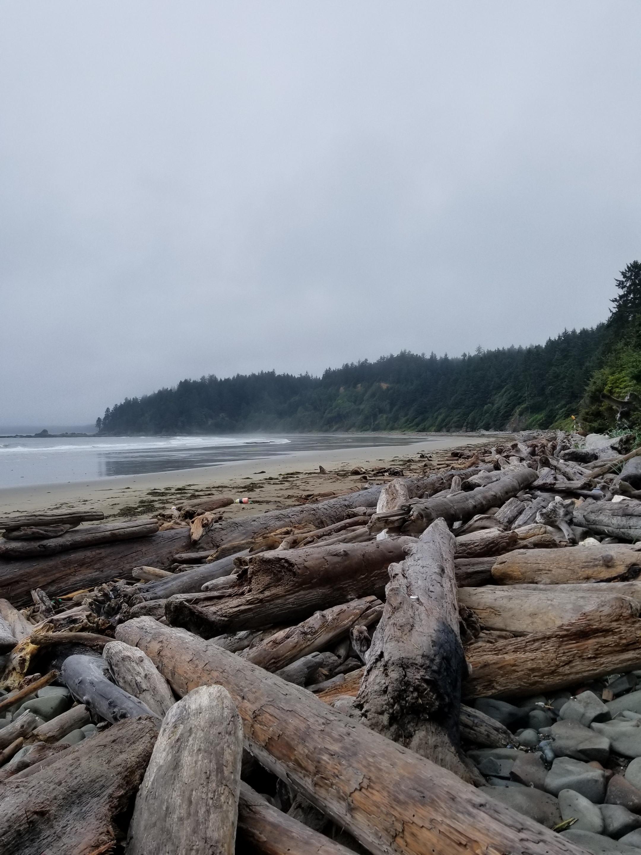
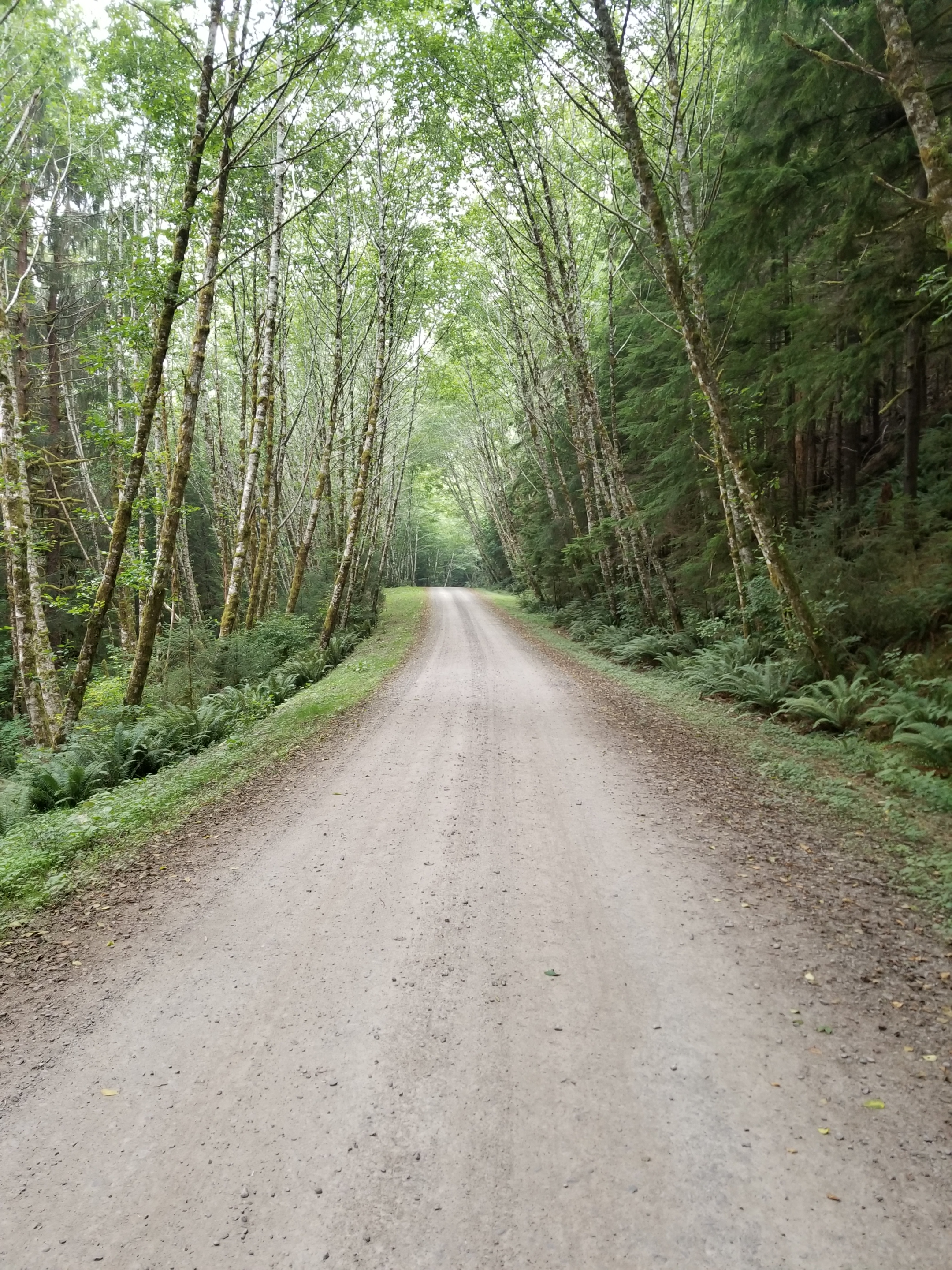
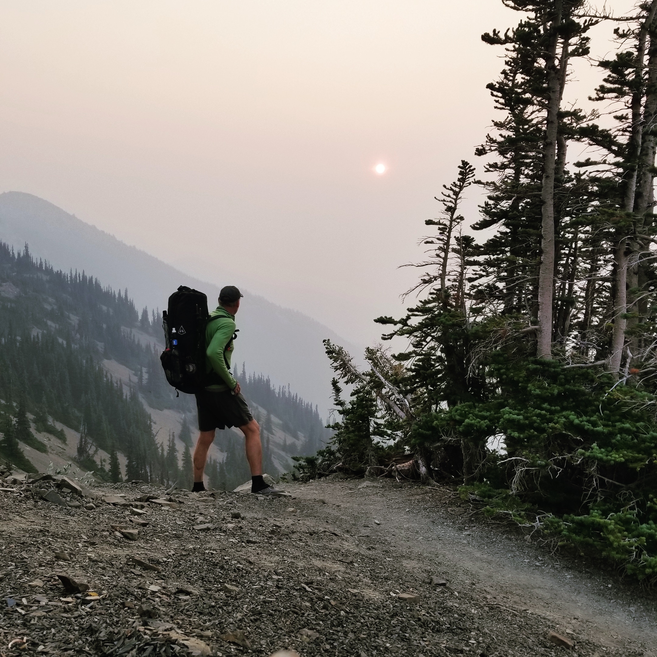
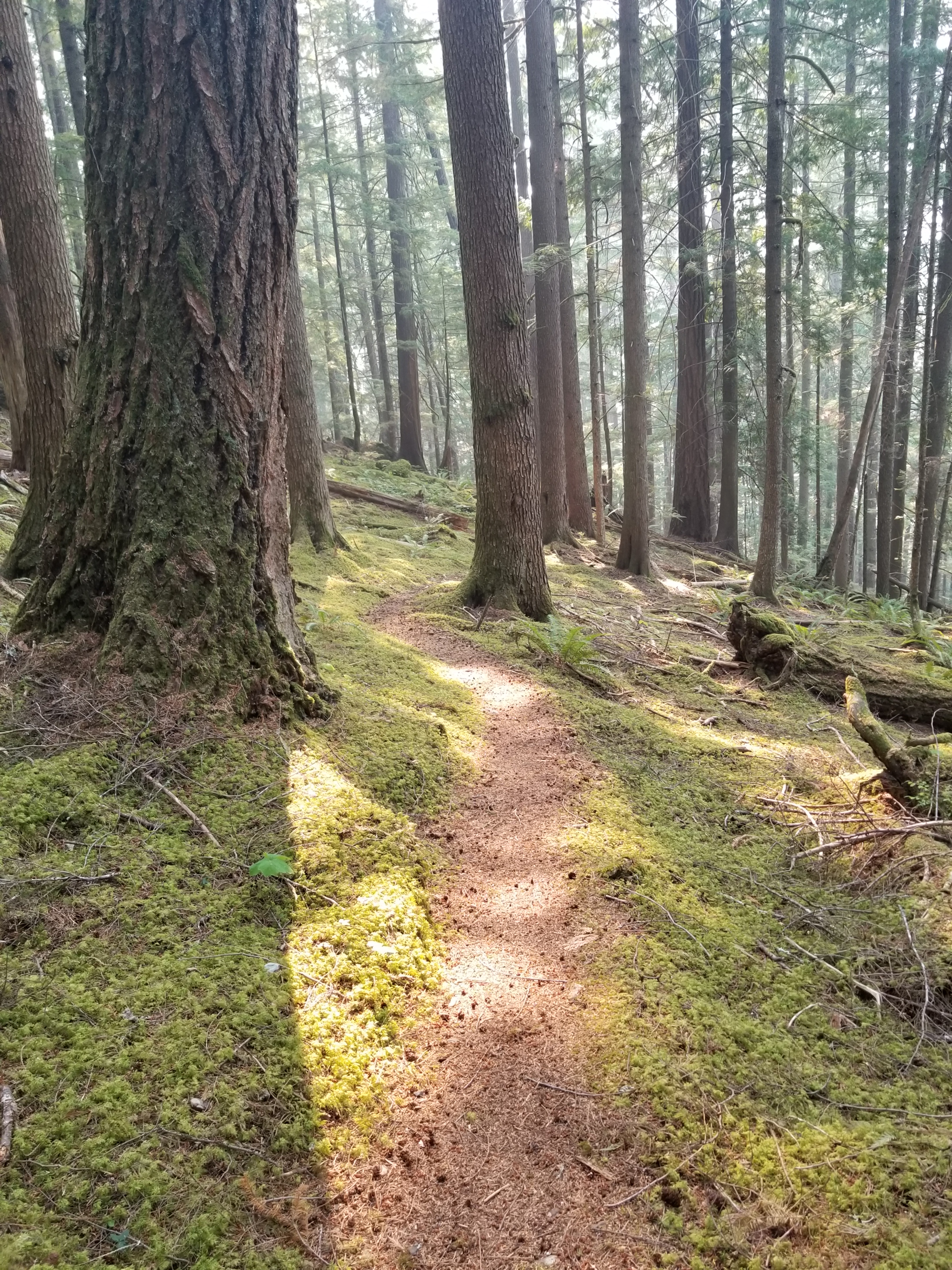
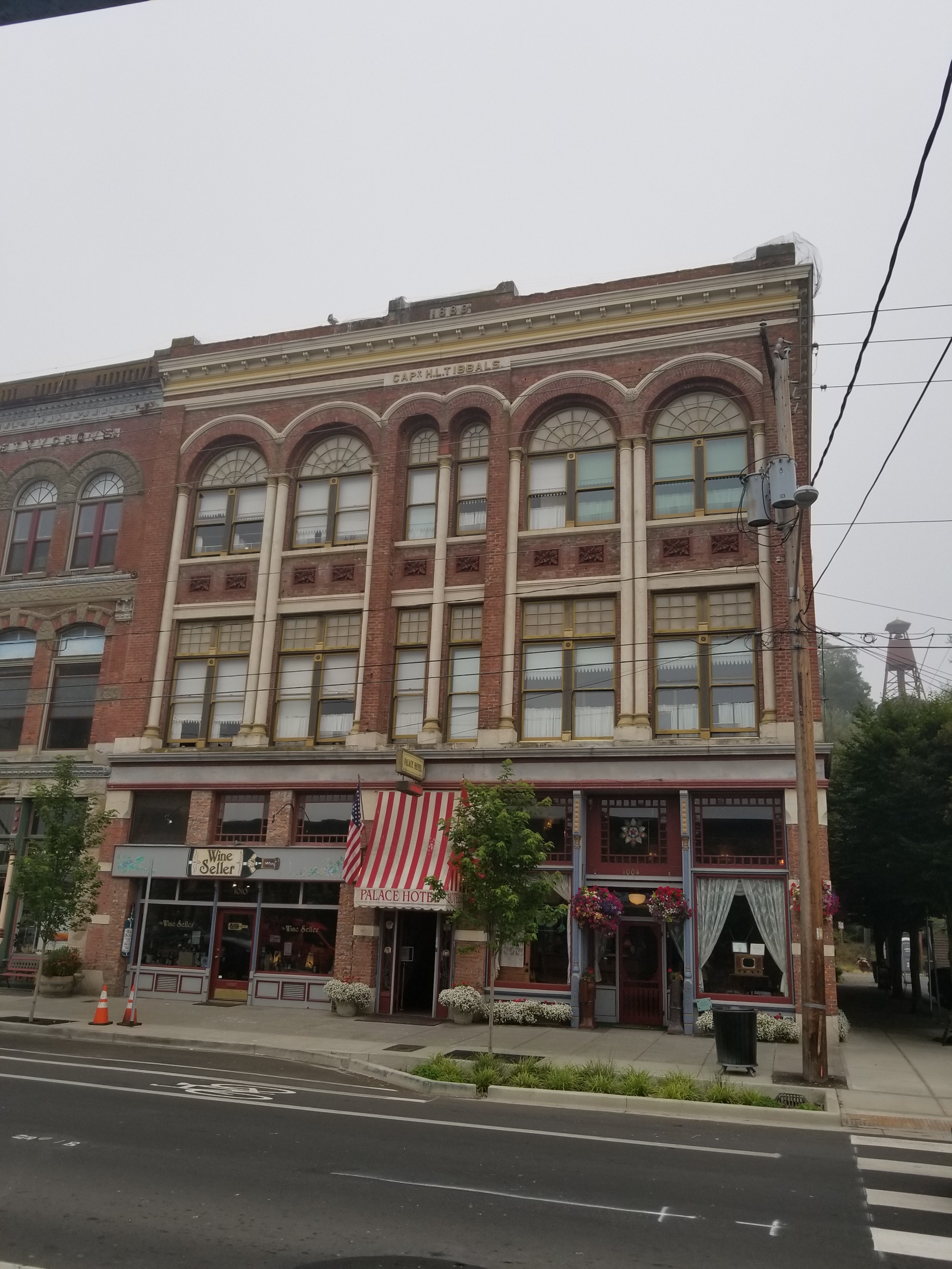
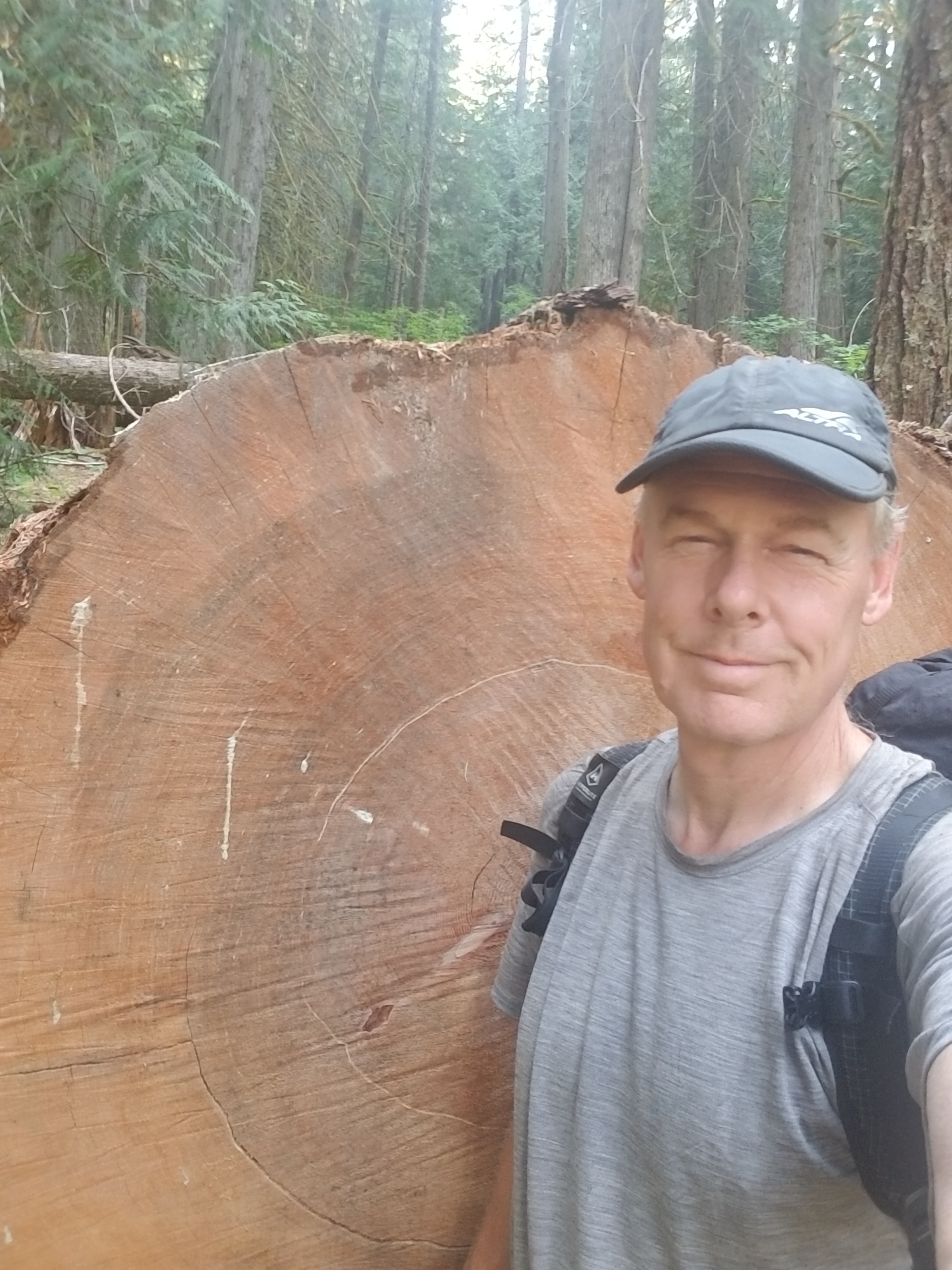
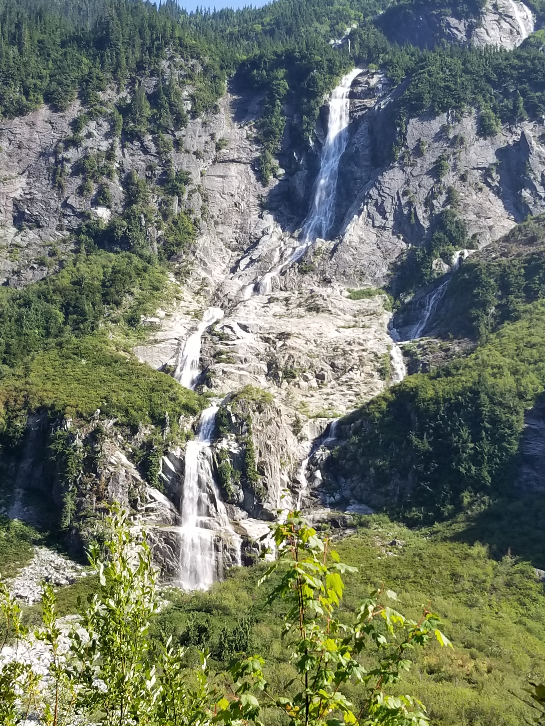
A Zero Day at Callahan’s

Day 40. August 4.

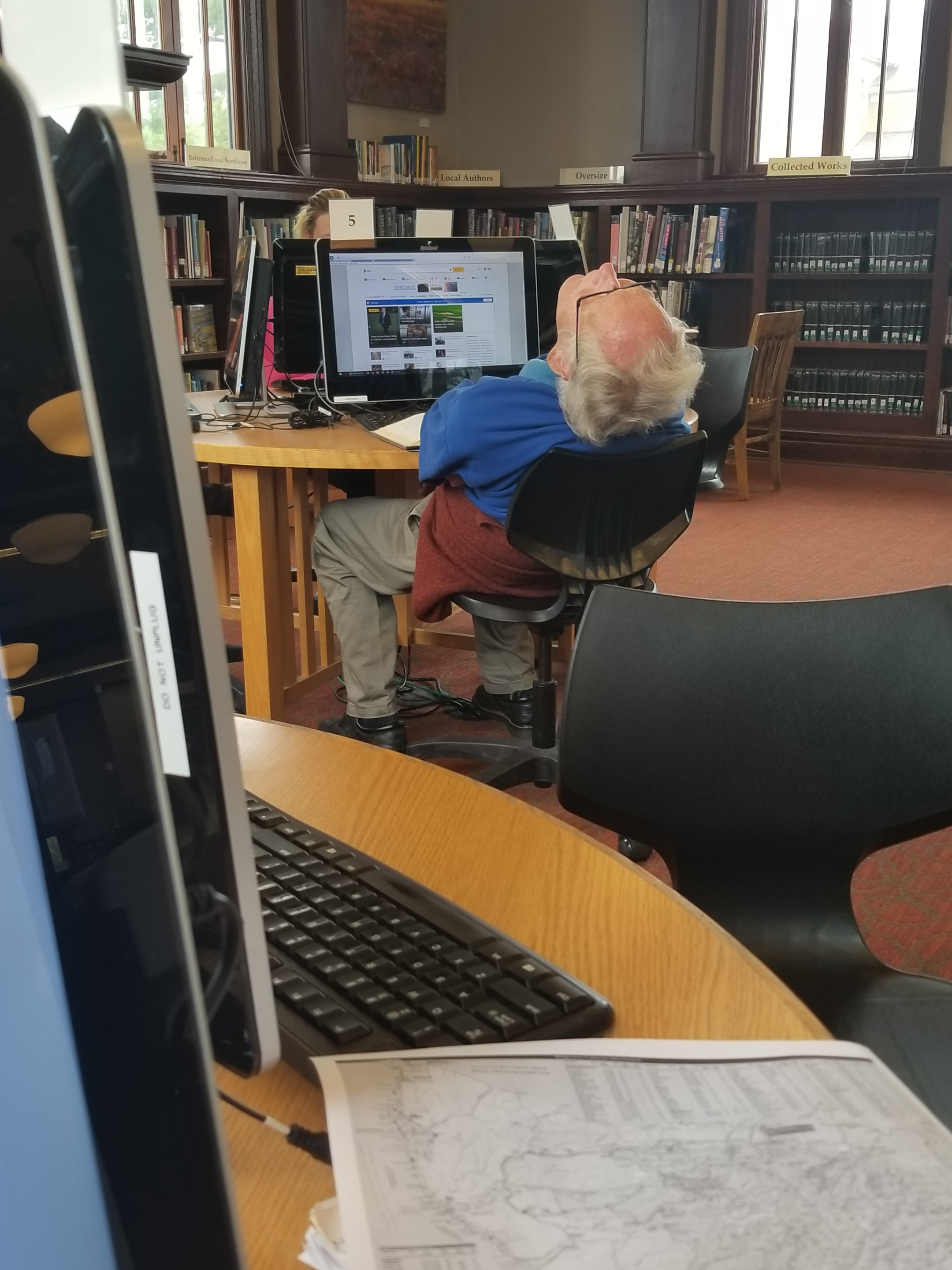
I was able to sleep in just a little at the Timbers Motel in downtown Ashland. I drew up my grocery list and also had a plan to hit a local laundromat when it opened at 7.

The laundromat was just a couple blocks away. I walked there and the doors were open. An older guy was in his idling car outside. I need to first clarify that I have perhaps the worst luck ever at laundromats. Something goes wrong every time. So, when the change machine accurately gave me change for my five dollars, I was getting a little smug. Next, to the soap dispensing machine. It looked old and solid, perhaps using metal from decommissioned WWII aircraft. Coins go in, selection made, pull the lever, and nothing. “Here we go….” I muttered to myself as I found the coin return. I was surprised it worked! As a spokesman for the triumph of hope over experience, I tried about 13 times to get the machine to perform the simple transaction: I put in correct coins, it gives me soap. Alas, nothing.

I figured at least getting the dirt loosened would be a small victory. So I ran a load of wash without soap. I considered the downside: without soap, perhaps all I would accomplish would be to loosen dirt and sweat and evenly distribute it over all my clothes so my shirts would smell like my feet and my socks would smell like my arm pit. Sounded good to me. Hell, I still smelled like lavender epsom salt.

An hour later, as I finished folding my clothes from the dryer, the assistant manager walked in. I thought I would be a good citizen and let her know the soap dispenser did not work. Deftly demonstrating how she reached the level of assistant manager by age 32, she said “I have some behind the counter I can sell you.” For a fleeting moment I considered that sprinkling the dry powder on my laundered clothes might have some potential benefit, but I decided against it, thanked her for her problem-solving skills, and went to the grocery store.

I stocked up on the crap that backpackers buy in town: cheese, meat sticks, Fritos, sunflower seeds, and two breakfast burritos. I went back to the motel, ate, packed up and caught a cab back to Callahan’s Lodge.

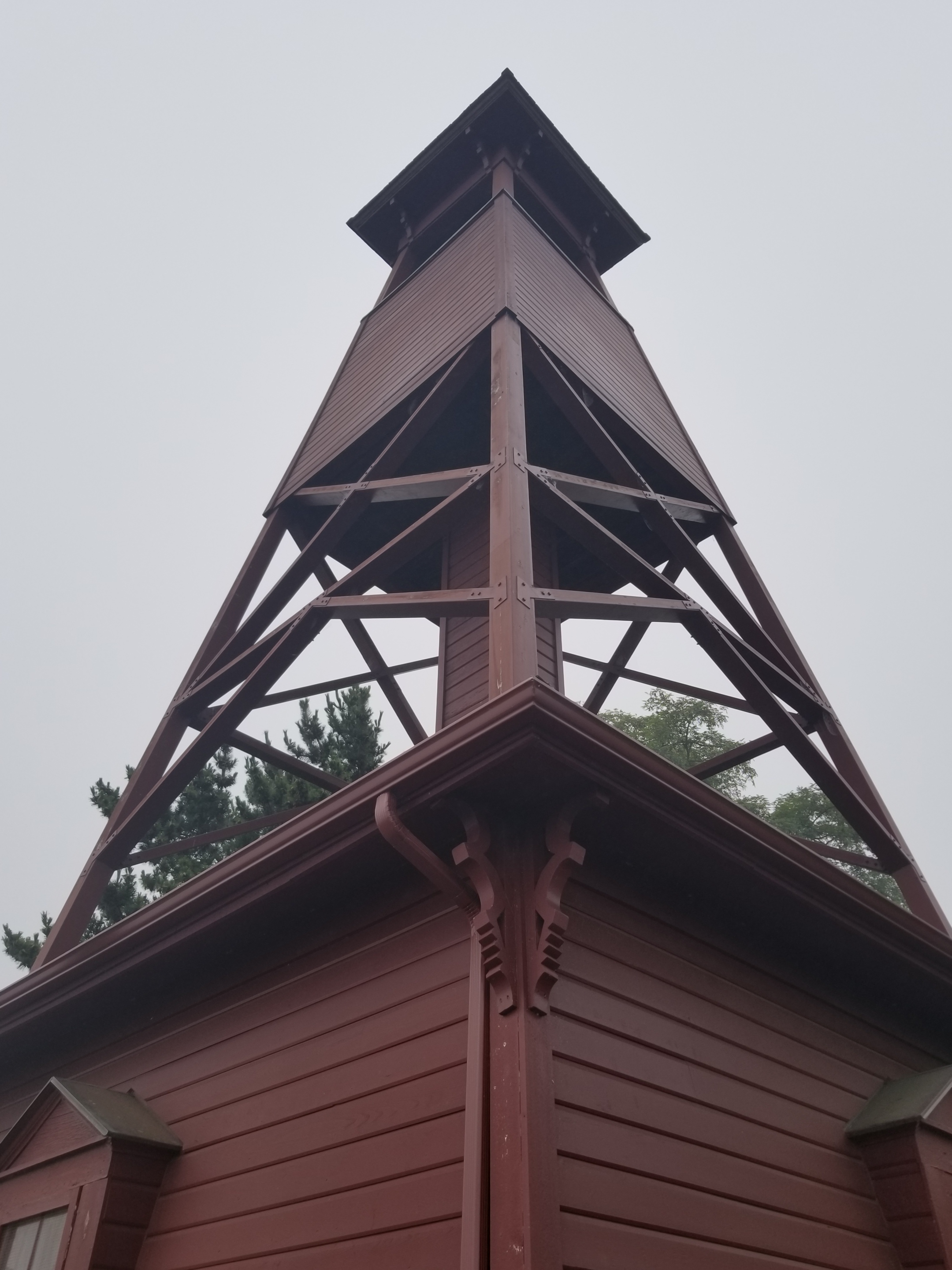
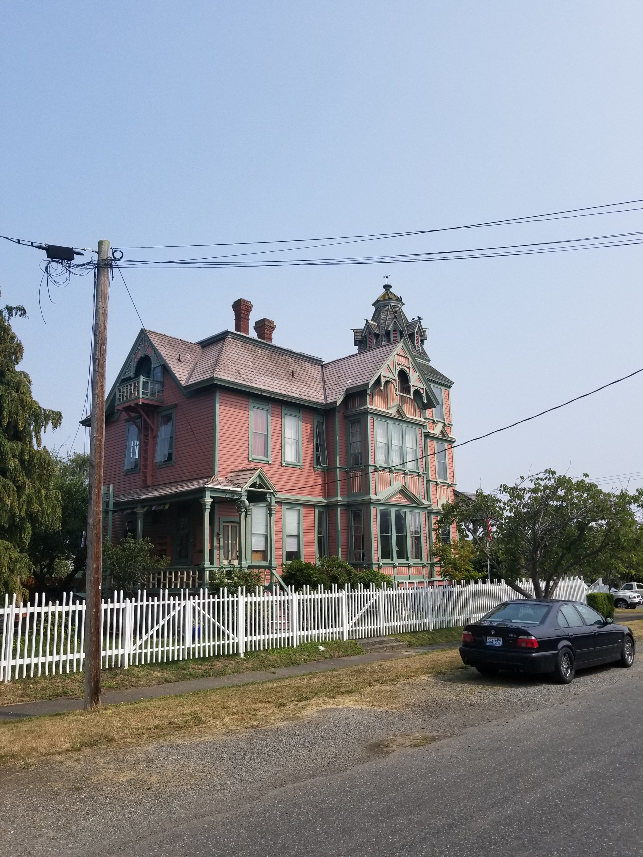
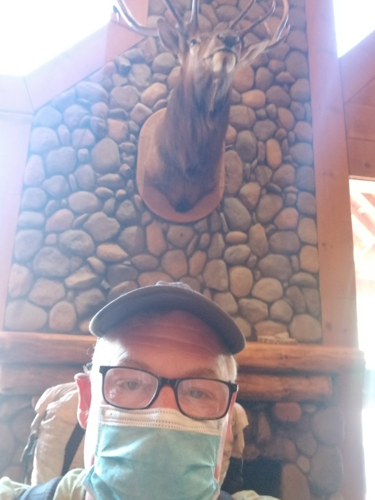
It was an old lodge. Lodges used to be destinations. Rustic with wood accents, dead animals mounted on walls, rooms and food and alcohol. Historically, Callahan’s was on the outskirts of Ashland and a destination. The original Callahans were instrumental to getting the entire Pacific Crest Trail built. However, it apparently burned down, was rebuilt and sold and was now for sale again. Lodges were fading anyways and the covid pandemic was not helping.

My stay was not the best. At first, the guy at the front desk said my resupply package was not there. He was rushed, so I asked him to please double check when things slowed down. He also informed me that I did not have a reservation. I explained that I thought I did. After several minutes of intense research on his part, he announced that he had solved the mystery and that my reservation was for tomorrow. I tried to gently correct him and explain that was the original plan, but it was changed and that “Cheryl” had spoken with my wife and assured her the reservation was moved to today. He ignored all of that and magnanimously informed me that the room type I reserved for tomorrow was actually available today so I could check in. Since we were bonding, I seized the moment and asked him if I could go to the room where they keep resupply packages and help him look for my package. He hesitated as though I was asking to get into the cash box, but eventually he relented. I found the box in about 31 seconds.

Retreating to the deck for a late lunch, I tried to enjoy the peace and solitude of being given a menu and allowed to read it uninterrupted for 20 minutes. When a perceptive server decided to ask if I wanted to order lunch, I praised her deductive skills and placed an order. After another 20 minutes I was enjoying my burger and chewing the ice which was all the beverage I was going to get. After another brisk 20 minute interlude, I was giving my bill and released. For a moment, my instincts suggested that maybe I should just hold my spot and start ordering dinner.

Later on, I regretted not trustung my instincts. While many people were dining on the patio and trying to handle yellow jackets in various ways (fight versus flee) I sat inside. After 20 minutes, the bartender came across the indoor area and asked me if I was planning on having dinner. I said that I was actually waiting for my connecting flight to London. Eventually everything was sorted out and perhaps trying to atone for any inconvenience, all components of my meal (appetizer, salad, and entree) were all delivered at the same time.

Not sure what will come of Callahan’s. It is great that it is so close to the trail, but with a short cab ride whisking hikers to a greater variety of places, I am not sure it will last long.

Penultimate Day

August 26, 2018. Stealth camp before cedar Creek to stealth camp before Yellow Bank.

I got up early because low tide was around 7:30. The first part of my morning was easy hiking on firm sand. It was overcast with de minimis drizzle.

After the easy hiking, I rounded one headland and fortunately hit another lengthy sand beach leading up to the Norwegian Memorial and the adjacent campsite. The Prince Arthur of Norway crashed on the rocks nearby in 1903 and a monument was erected in honor. There were some appropriate mementos at the base of the memorial (flags for the US and Norway) and inappropriate (a shoe insert).

I could’ve stayed at this campsite, but it was still morning and high tide would not happen until after 1:00. However, designated campsites after Norwegian required a reservation. I opted to get close to the first restricted site (Yellow Banks), leaving just six miles of beach before reaching the trail’s end at Cape Alava tomorrow.

Based on this decision, I had to do some rock scrambling. Along the way I found an amazing variety and volume of waste on the beach. Fishing nets, flotation devices, cable protectors, rusty barrels. The most depressing was the sheer volume of plastic water bottles. Worse, so many of them were half full. Terrible.

Fortunately, no head was attached.

I was shocked by the large amount of netting that had washed up.

Try as I might, I couldn’t come up with an explanation.

OK. So just once in college I did experiment with Happy Time Assortment.

No comment.

This headless skeleton appeared to from a sea lion.

I found a cove that seemed very remote based on the amount of material washed up. It had little beach and a lot of driftwood. Since high tide would be in soon, I opted to get up high and wait for the tide to recede. I found a good spot and even managed a short nap.

Moving again, I soon approached Yellow Banks. Before it, there was a well-used campsite that I grabbed. I had a late dinner and watched the horizon, hoping for a repeat of last night’s show. Unfortunately, the sky remained gray. As this was my last night, I reflected a bit but did not get sentimental. It was time to finish.

This decoration marked the entrance to my camping spot.

Looking up the cove, I could barely see the Yellow Banks.

A Forks on the Road

August 24, 2018. Bogachiel Camp to Forks.

As I unfolded myself from my cramped sleeping spot, I was psyched. Today was a town / resupply day. A shower. Food on a plate. Sitting on furniture. Hot water.

I woke up a small herd of cow elks when I started. I was unable to get a good photo as they crashed their way through the thick brush.

These large ferns dominated the forest floor

Pretty, nice trail.

The closer I got to the road, the better the trail maintenance. The better the trail maintenance, the faster I went. My morning goal was to reach Bogachiel State Park where I might catch a 10:30 bus to Forks. If I missed that it would be hitching or a paved highway walk.

In short order I was off the trail and on to a gravel road. I kicked my speed up another gear. It was overcast and cool, so hiking fast felt good and easy.

If all road walks were like this they would be popular.

Then, I hit the Road Closed sign. I was supposed to take the curiously named Undi Road. It was closed and a new Undi Bypass was indicated. At first I was in denial and tried walking the closed road. However it was truly abandoned and I went back to the bypass. It did not show on any maps, so I had no idea how long it would take. Immediately, however, it was clear it was steep.

I abandoned hope of catching the bus. There were utility crews stringing power lines and the road felt very new. Only a few cars went by. One of them flew by and dusted me big time. It had Minnesota plates. So much for Minnesota nice.

The Bypass ended and I was on blacktop, resolved to hiking into town. Amazingly, a guy who had just come down the Bypass stopped and asked if I wanted a ride. You betcha.

He spent the six miles bitching about local government and the bypass. He was from Hibbing Minnesota. He was a pretty good guy and dropped me off at the wonderfully named Dew Drop Inn.

I couldn’t get in to my room for five hours. So while a shower was out, I managed to get a breakfast and hit the library. Fortunately, I ran in to One Direction just as they were heading out to finish their trip.

Forks is a fading town, losing lumber and holding on to waning tourism related to the Twilight series and sport fishing. I must say the food was bad at every place I ate. Since this was the last resupply town for me, I was disappointed.

I took my final resupply package and got ready for my final leg. It would walk to and then along the coastal portion of ONP, ending at the westernmost point of land for the 48 states. My permit was goofy, so I hatched a plan to spend two (instead of five) nights on the beach. I appreciated the symbolism of starting a hike at the crest of the continental divide and ending at the farthest west point possible. Equally, however, I know how annoying beach walking can get.

I tossed and turned most of the night, perhaps anxious about finishing the PNT.

Finding Closure

August 21, 2018 Roaring Winds campsite to Boulder Creek Campground

I woke up early knowing this was going to be a tough 27 mile day. I would start above treeline and end up in semi-rainforest. A gross drop in elevation from 6,700 feet above sea level to 360 feet above sea level. I took a moment to thank my knee cartilage for years of dedicated service and bid a fond farewell.

It was smoky still. The sun crept higher looking like a shaded spotlight.

My mandated bear canister took up the top third of my pack.

I was well above tree line for most of the morning, but the tough, beautiful, sparse plants provided plenty of interest.

I could not tell whether this was two plants ( orange pine in a white cushion) or one plant

Again, I could not tell if these were two different plants or one.

These toughies appeared to be growing only in rock and crushed rock.

I was also graced with the presence of birds.

Have I ever mentioned marmots? My morning was marmot heavy.

This lone marmot appeared to be by himself. He called out a warning, but I saw no others.

A bit before noon, I reached the Hurricane Hill Visitors Center.

I feared it would be a tourist zoo as this is the primary driving destination in the park, normally offering gorgeous views after an easy drive. Perversely, the smoke worked in my favor as the huge parking was only 10% full.

When I went inside to the top of two layers, I was immediately able to complete some backpacker chores: find electrical outlet, water, and properly dispose of garbage. While charging, I casually reviewed some exhibits.

Then, I moved over to what seemed the nerve center of the building: Information. When I got to the counter, a gray-haired, uniformed park ranger asked how she could help. I asked “Are there any closures?” (My permit was issued over a week prior and between construction, fires, and, I’m not making this up, Goat Relocation, I knew there was a possibility a portion of my permitted route might be closed.) The blank look in her eyes made it clear I was in for some fun.

“What closures?”

“I was hoping you could tell me. I am backpacking and just wanted to see if there are any road or trail closures I should know about.”

“Oh. If you’re backpacking you need to get a permit. They will know about any closures. ”

“Sorry, I already have a permit issued several days ago, but I just wanted to see if anything has closed recently.”

“You’ll have to talk to the permit people downstairs. We have no information on closures.”

Involuntarily, I stepped back and looked at the sign to make sure it hadn’t said “No Information. ”

Honestly, I tried very hard to ask politely “What information do you have.”

She curtly replied that they help visitors learn about park programs and nearby day hikes they could take. About to ask her what she would do if a day hike route were closed, I thought better of it and left, thanking her for time. I felt empty, without closure.

The best part, though, was when I went downstairs, to the holy land of closure information. It was a gift shop and snack bar! Torn, I couldn’t guess whether trail closure information would most likely come from the fry cook or the lady selling stuffed animals.

I chose the snack booth. I ordered the fish and chips: three pieces of fish and fries for $13. When I got the order, it was two pieces of fish. I asked the person if they were having a two-for-three special. She said “No, its regular price.”

After about a half hour, I had enough and got going. I had a fairly steep downhill, but first I had to go up the popular Hurricane Hill trail. There were many helpful signs explaining the two different trail closures coming up in the next few days.

It was hazy and hot on the open hillside. I opened up my umbrella to create shade. I got a few smirks, but it kept the sun off and let the small breeze through.

A faint trail leads over the smoky edge.

Eventually, I began my descent. Over the next several hours I walked down from above tree-line to subalpine to grassland, dry ponderosa to rainforest. Early on, it was incredibly steep and I nearly wiped out as I tripped and my top-heavy pack wanted to carry me down.

A

No, I do not have tiny hands! The most covering this tree was deep, reminiscent of a shag carpet from the 70s.

Around 5:00 I reached the bottom. The ONP was in the midst of major renovations, having removed a hydroelectric dam and replacing the roofing on the nearby ranger station. As a result, a major roadway was closed to vehicle traffic. After so many perilous hours on narrow shoulders of busy highways, strolling along a wide paved Avenue through the trees was a beautiful change.

I passed two couples. One was on bike and the others hiked. Both couples were returning from the Olympic Hot Springs.

I had a gradual nine mile, 1800 foot elevation gain ahead of me. My knees were sore, but it was simply a matter of grinding out the miles. I did stop to look at the remnants of the dam.

The concrete on the left was part of the removed dam.

I ate dinner as I walked. Finally, about two miles before the hot springs / campsite, the paved road ended and turned to trail. It was close to dark so I got water and took out my headlamp. I’m not a fan of night hiking, so I was walking as fast as I could. Just as it was getting to the point where I couldn’t see 10 feet in front of me, I reached the campground. It was huge. A few years back, vehicles could drive all the way to the hot springs and thus the campground was large.

I hung my food, pitched my tent, and put my creaky bones and sore muscles down to sleep. Just as I was dozing off, a group of female hikers walked past with their headlamps blazing, returning from the springs to their campsite. Finally, after they got their food hung, the campsite was dead still and quiet. At last, my eyes found closure.

Zero Day in Port Townsend

August 16 and 17, 2018. Port Townsend.

I was getting a big resupply here, including a bear canister. I’ve never used one before, but they are required in some part of the Olympic National Park, notably the coast. The savage beast causing the requirement for bear canisters? raccoons. In case you don’t know, a bear canister is a round plastic jar with a screw on lid. It is too big for a bear to get its jaws around and the roundness prevents their claws from digging in. Also, it supposedly seals in odors. Who knew, it is effective against raccoons, too.

Backpackers hate canisters. They are heavy and take up a fixed volume. Instead, food bags that are light, roll up, and can be hung are preferred.

I tried to do my usual of museum-then-library. However, I soon realized this is a major tourist town. First, cafes and bistros were not going to open until 10 am. The museum would not open until 11:00. So, I got a good walking tour in and went to the library. It was one of the Carnegie-funded libraries, busy, and beautiful.

Port Townsend started out life in a very promising manner. In a nutshell, it was to be the primary port in Washington. The initial wealth resulted in beautiful homes and buildings being built in the late 19th century. Subsequent hard times (i.e., depression and Seattle’s rise as a commercial center) caused a big outflow of people. However, once the Coast Guard established a base nearby, the population stabilized. As the museum docent described it, “hippies” discovered the place and saved it in a certain sense. The town never went through the phase where the old houses and buildings were torn down. So, when yuppies found beautiful Victorian homes and charming old buildings, the place took off. It is touristy (I paid $14 for a simple Reuben sandwich) but it is worth it. I must say I thought the museum charged way too much for such a small display, but the old jail was interesting.

The historical fire bell

I loved the whitened teeth on this architectural detail.

I did see a clutch of PNT hikers outside the Safeway store. They had some plan to rent a taxi and get near the trail. Only one of them offered a name (Nick Berg) and one of them was from Staples MN. It was nice to see their enthusiasm for the finish. Not Guilty was the last to join the group and he was also heading out that night.

Lastly, a steady ocean breeze from the west was clearing up the air. I could see across the water to other land forms and the sunsets and sunrises were blander with less red / orange coloring. My motel looked at the harbor and I could see the fishing boats come in and unload their catch.

Note: both of my loyal blog readers know I love signs. I was ecstatic to find this one. In the old days there used to be something called common sense. Further, a detailed asterisk was not needed.

I always carry a little extra duct tape in the summer.

I also got a glimpse of future me. He went through a 10 minute battle royale bobbing in and out, but sleep won.

Don’t Look Down

August 14, 2018 Anacortes Motel to motel in Oak Harbor

I tried sleeping in a little bit, but it just did not work. I showered and took advantage of the continental breakfast. Most of the time the motels offer a continental breakfast and they often include hard-boiled eggs which are a great way to start the day.

My first big task was to get my wilderness permit. PNT hikers can call in and work out a permit with a forest service employee. This is such a relief from having to trudge into a forest service office. I was disadvantaged because my Olympic map was on my phone. I had a pretty clear route planned, but this forest service guy and I had a miscommunication. He started with me going way south, suddenly lurching far north and then doing a 27 mile ridge-hike. I wish I had a full size map in front of me when we talked.

He also had me going from Forks to Mosquito Creek in one day, an almost 30 mile route dependent upon tides. He offered several good pointers, so he was competent. It is just some of the legs of my permit made no sense.

Once that was done, I headed out around 10:00. I mailed the paycheck I had found and went to find the trail. Anacortes has a huge forested park. The trail runs through it. As an urban park, it was mostly well marked and exquisitely maintained. However, the PNT route soon felt like I was playing some Keno board (trail 210 for 1/4 mile to 212 then 248 then 10, etc.)

This owl outside Anacortes was very alert in the daytime.

Eventually it spilled out on to some busy roads with an old time grocery store (Lake Erie Store). Then there was a confusing juncture. As I sat by the side of the road puzzling with my maps, a car pulled up asking if I was a PNT hiker. He was wearing a PCT hat. The gentleman was planning on hiking the PCT next year, but he was excited now. We talked gear for a little bit, his training, and some local information that helped me. His name was Larry and I got the feeling he’ll do just fine on his PCT hike.

An old miner’s tunnel.

This log cabin was unique in that the logs were cut in half lengthwise. It reduced the insulating power, but instantly created flat interior walls.

I went on another trail through woods and once again got ejected out on to busy road. I walked along Highway 20 for some time. The scariest part was going over Deception Bridge, which is actually two bridges. The tidal changes are powerful as they get channeled through a small space, creating whirlpools and waves. Looking down to the swirling current 180 feet below, I was feeling a bit queasy. While it was unnerving enough to have the 2 lanes of Highway 20 right there on the bridge next to a narrow pedestrian bridge, I was especially surprised with the number of tourists who were standing in groups on the narrow walkway. I had to sneak by and around and hated looking down from such a height.

After the bridge, the pattern of get-on-a-trail-then-pop-out-on-a-highway repeated. This last time, I noticed a bus stop on a corner with a guy standing there. I went over to see the route and schedule. Sure enough, a bus would some along and drop me off in downtown Oak Harbor. I took the mass transit.

We went past the entrance to the Naval Air base and through most of the town. I got off and had to walk back a bit to get to a motel closer to the trail and food. It all worked out though my hips have really started to hurt from so much pavement walking. For a welcome change, I had greek food for dinner and then watched TV until falling asleep.

Old 99

August 12, 2018 From motel in Sedro-Woolley to Lily Lake on Chukanut Mountain.

I was foggy from a bad sleep and seemed to pack in a similar manner. I only had around 20 miles today and most would be on pavement. Reluctantly, I left my smoky crime-scene room.

I stopped at a lonely gas station and got a coffee and corn nuts, a champion’s breakfast. Fortunately, I had also purchased hard-boiled eggs from the grocery last night.

I needed to take a few connecting backroads to get me over to “old Highway 99” which went north to Alger and later intercepted the trail. It was a pleasant walk with little Sunday morning traffic. A few dairy farms provided me with an audience.

Later, I passed a classic farmhouse that was in great condition. The owner was out ffront and we started chatting. Then his wife and their dog also came out. They had questions about the rail and the man was an avid mountain biker who knew many of the areas the PNT traversed. They were so kind, offering me waffles, other food, and water. Truly one of the great things about backpacking is running into such kind, helpful people.

The walk up old 99 was boring, with less RV and truck traffic than 20 or Baker Lake Road. I was able to finish one audio book {WHEN: The Scientific Secrets of Perfect Timing, by Daniel Pink…apologies for not remembering the MLA way to cite a book.}

“Break out the champagne! I landed the gravel pit listing!”

Up the road was Alger. During planning I had picked out Alger as a resupply place. Indeed, we mailed a resupply package to the motel there already. However, when looking for a place to send replacement shoes, Alger was sold out. Apparently DirtCUP 2018 was happening at the Skagit Raceway and that naturally drew in a crowd. When I went by, there were only a handful of RVs left at the Skagit Raceway. I learned also that yesterday/last night had been Ladies Night, a huge draw I’m sure.

I ate at the local pub. If you like good food, sticky tables, worn carpeting, and love the 65-year old Harley couple scene, this place would be heaven for you.

I trudged up the Old 99. Just before it intersected the trail and passed under Interstate 5, a couple asked me if anyone was looking for a dog. They had found it in a county park. Can you believe it was not on a leash when they found it? About 20 minutes later, I came across a “Lost Dog” flyer for a different dog that was lost locally.

Late in the day I finally got off pavement as the trail went into a forest area owned by the state Department of Natural Resources. It was a confusing route, not matching the maps. Indeed, some old-school person had placed white trail markings correctly.

Amazingly, just when I was getting a little lost, I ran into another backpacker. It was a hiker with the trail name of Not Guilty. We found the trail and hiked together until reaching Lily Lake, a pretty good campground right next to the trail. It was nice to finally meet somebody else hiking the trail. An experienced backpacker, he was enjoyable to spend time with. He said he was a late sleeper, I said I was an early riser, but he said it is hard to wake him up, so I said I’d probably be gone when he got up. Tomorrow would be his birthday. I told him I did not get him anything.

I had a new sleeping pad. It was nice and clean, but a little squeaky. The first time I had shared a campsite since Glacier and I am sleeping on a pad that makes a lot of noise anytime I move. Staying as still as possible, I eventually nodded off.

At the Base of Mount Baker

August 8, 2018. From Whatcom Pass to Mount Baker.

I was the first one up. Got my food and took off downhill. The glaciers on this side of the Pass were bigger. I wish the sun was higher to bring out the beautiful blue of the ice that is at the center of the glaciers.

The air had cleared and I was cruising downhill. I knew I had a long day ahead of me as I needed to get to the base of the Mount Baker highway.

After breakfasting on several spider webs, I stopped and had some trail mix. I was brushing my teeth near a stream and a couple showed up. They were out for few days. Just as they were leaving, a group of five ladies came by. They just said “hi” and passed by.

Later, I came to the famous cable car over a river with the improbable name of Chilliwack. The cable car is a two seat basket. You get in and pull yourself across.

I couldn’t figure out how to video the trip across. About halfway across, I did stop and notice how frayed the pulling rope was. Definitely a unique way of crossing a stream.

At the other side a mother with two kids and her dad had differing levels of enthusiasm about the ride ahead. Mom was far less enthusiastic than the little boy.

As the day wore on and I approached a popular trailhead, there were scores of people, all shapes and sizes and ages. One couple I met at the apex of Hennegan Pass. They had full packs and some climbing gear. They knew about the PNT and offered me rides since they lived right near the trail in Alger. Really nice folks.

I continued a long, shadeless grind downhill. For the first time in weeks, I broke out the umbrella for shade. It was wonderful. Not sure why I have such a Mary Poppins complex against using it more often.

I reached the trailhead and began a long walk on a gradually declining gravel road. One car did offer me a ride, but I declined.

I went past a cordoned off area that had a few dozen bee hives right beside the road. Not sure what the bees were pollinating, but I didn’t want another sting and went by swiftly.

The evening was warm and windless. I had a freak event happen. I was just walking along and about 100 feet into the forest, a good-sized dead tree just snapped and fell straight over. Random.

I finally reached a developed forest service campground at the bottom of the climb up the Mount Baker highway. It was called Silver Fir. All the places were taken. I looked at places to stealth camp, but didn’t see anything good. Then, I used their handpump to get water. I filled up my three liter platypus bag, but the water looked a bit off.

I crossed the highway to a lot used by the highway department. It also had some snowshoeing routes for winter. I went down a gravel road and after a quarter mile saw a small clearing where I could fit my tent.

I ate as it darkened and got into my tent. The water I obtained from the campground was so rusty it made me wonder how long it had been since my tetanus shot.

It was one of those nights where I don’t even remember putting my head down before I was fast asleep.

Massive Trees

August 7, 2018. From Big Beaver Camp to Whatcom Pass.

I was glad to get moving in the morning. I could smell the smoke in the air and feel the building heat.

Fortunately, most of my morning would be spent gradually heading upstream along Big Beaver Creek.

There were two immediately striking features in the morning. First, the bluish, opaque stream colored by the grit from snowmelt. Second the huge cedars and western hemlock. Massive trunks supported a canopy of branches a hundred feet up.

This environment was good for toads and their offspring. When I first saw the forest floor moving, I thought it large ants.

This skinny guy was hard to see.

This one was not so hard to see.

The trees were interesting. Their size meant they truly blocked out sunlight from plants below. It struck me how little life there was. Hardly any songbirds, scarcely a sign of deer or squirrels. Cedars and hemlocks produce tiny cones and consume all light. In poignant contrast, the mosquitoes were large, numerous, and happy to see me.

This cedar had to be 20+ feet in circumference.

Quick, who is older?

Due to the absence of wildlife and wind, the cathedral-like forest was hushed, like when you walk into a large empty church. If you stopped, there was an overwhelming sense of space and silence (except for the tinny buzz of mosquitoes).

When light penetrated, it would occasionally reveal an intricate spider web. Try as I might, I cannot get a satisfactory picture of a spider web.

I found a charming stream and got some water that was not silty.

Later, I met a group of two guys and one lady, all young and in a hurry. Selfishly, I was hopeful they had been hiking a while and therefore had cleared all the spiderwebs on the trail. No such luck. Just after I passed the next campground, the webs started again.

A bit later, I met another two-men, one-woman group. They were from South Carolina, up for a friend’s wedding. Fun people.

I climbed over a ridge from Big Beaver Creek and dropped steeply into the next valley with the unimaginative name of Little Beaver Creek. No idea what the would’ve done if there was a medium sized beaver.

Subtly, the flies began to dominate the mosquitoes. Less quick to bite, their size and relentlessness made them more irritating.

One thing about federal parks or recreation areas: they do bridges right.

I made my way up the valley. It got high enough that there was snow and glacier up high across the way. With the heat, the melt created numerous waterfalls. Visually, it was mesmerizing.

Whatcom (pronounced watt come) Pass was my reserved campsite. It had a legendary reputation as an intense climb. It lived up to its reputation. Near the top, some of the wood buttressing the slope had dissolved.

The gray timbers were there to shore up the gravel trail above.

The campsite had a reputation as prone to bear visits. As a result, I ate my dinner about a quarter mile away to cut down on odors. There was a boulder field with a lot of pikas who squeaked their annoyance at me.

I was the last to arrive at the reserved campsite, so I got the least attractive campsite. The best tent pad looked straight down the valley. Mine looked north at a boulder field. I hung up my food and got my tent put together.

I heard the Pikas going off. Then I heard a large rock tumble. I looked and at the edge of the boulder field was a good sized black bear pointed uphill (away). don’t know the proper way to size black bears, but he looked like four Labrador Retrievers mushed together. If you’ve suffered through earlier blog posts, you know I am not a fan of bears. I yelled and he moved a bit and looked at me. Finally, I clapped loudly and he scurried uphill and away from the Pass, in to the trees.

My neighbors came over to see about the ruckus. We had a good chat and they all said they had hung their food. As you can imagine, I did not sleep too well, startling awake to the slightest sound. As you can equally imagine, nothing happened. When I reflected on this bear’s behavior, he seemed to just want to go over the pass and avoid humans. The biggest wildlife lesson on this trip is that animals very much use passes and saddles as transportation highways.

Cattle.

July 25, 2018. From Okanogan Forest camp to Cougar Creek camp. 22 miles

I was not well rested after the rough night. Still, I packed efficiently and even forced myself to eat my breakfast of cold-soaked 10 grain cereal.

It was a beautiful day for hiking along this seldom-used road. I had seen no cars on it yesterday. With this solitude, you would not be surprised that when it came time to perform an important bodily function, I simply took off my pack and went a few yards into the woods to dig my cat-hole and take care of business. Well, as Murphy’s Law would have it, another hiker, heading the opposite direction, comes walking down the road. Nobody for days and this guy walks up on my dump. I tried to recover as quickly as possible, but it was certainly awkward.

We chatted briefly, but I was eager to get on with my life.

Later, as the day got hotter, I took the aptly named Sweat Creek Trail. It was a tough climb on a hot afternoon. Perhaps some steep climbs, I heard the chainsaws of a trail crew. After waiting in the distance for them to see me, I had a good, short visit. It was two adults and three teenage helpers. They were a legitime PNT crew. I expressed my gratitude for all the work they do and showed the younger ones all the scars on my legs from going over blowdowns, etc. Also, I let them know I was a dues paying PNTA member.

Their work is hot and difficult. I whine about carrying a backpack in hot weather, but these folks get up, put on long pants, work boots, hard hats, carry their gear uphill to the worksite, and labor in the sun all day. I thanked them again and let them get back to work.

Part of the work this crew had to remedy was eliminating misleading cattle paths. Generally, cattle are fairly good trail makers, sometimes they riff on their own. What this means is they will very often follow the main human trail, but, when it suits their bovine fancy, they cut a new path. Thus, in many areas a hiker has a very difficult time telling the difference between the human and cow paths.

On my way downhill, I could see the trail crew had a lot of tree and cattle work. As if to prove the point, I encountered a small herd of about three pairs of cows and calves. Always, I stop and talk in a calm manner when I see cattle on the trail. While sometimes they amble off safely, other times, like this one, one bolts and the others follow. You might be surprised how agile these animals at going downhill at speed, jumping over obstacles. I waited a few minutes so they would not feel threatened. I don’t want either a calf or cow to get hurt running.

Unfortunately, I’ve seen this movie before and was not surprised to have the same process repeated. Two more times. In all, they probably ran downhill for a 750 foot elevation loss over a mile. Finally, one of the cows went left off the trail and the calves, who normally choose the trails, chose to follow her.

It was evening by the time I reached the bottom of the trail. The guide book made a vague reference that the trail seemed to go on private property but to veer left. Mild understatement. The trail basically dumps right in to someone’s yard. I didn’t see a dog, but clearly somebody lived in the trailer parked there. I went immediately over to the edge of the yard and moved quickly and quietly away.

Eerily, the occupant(s) had a fascination with skulls and decorated their yard with several plastic skulls and skeletal parts. At age 56, I am just too damned old to be abducted and converted by some cult. Think about it. You never hear about guys like me getting captured and converted, it is always younger people. So, I kicked in to high gear and got the heck out of there.

I came out on a public road. It switched between private property and public land. There were definitely some unique homesteads along the way. Maybe you live in a suburb or a nice urban setting. Indeed, you’ve also probably seen poor, blighted urban areas. However, taking a long walk really draws out a different variation of the American dream. There are rural areas where it is either the start, or fulfillment, of the dream to get a piece of land and park an RV or Camper on it and call that home. Sometimes there is evidence of a more permanent, traditional structure in various stages of completion. I can sort of understand the pride of ownership angle, but most of the situations appear to never convert to permanent housing. Instead a second or a third trailer is added. (I shudder to think what their septic solution looks like.) Pointedly, most of these smaller homesteads were the most prominent displayers of “Private Property” or “Keep Out” with a few specifically mentioning government officials. (Note I have the honor of working with municipal employees in my community and can’t recall any kind of professional that works harder to be fair, judicious, and considerate.)

I passed a few properties where they spilled some of their excesses on to the public right of way. I’m not a “car guy” but one place was occupied by one who convinced himself (and perhaps a long suffering wife), that he would hold on to junkers to “part them out.” To nobody’s surprise, the Dodge Aries and various Datsun models did not generate much demand, so these vehicles decorated the road.

Eventually, I found a flat secluded spot on public property down by the creek. It got darker faster in the narrow valley. I ate my dinner while shooing away yellowjackets. I pitched my tent, hydrated some more, and went to bed.

While I initially dropped right off to sleep, in the night I was awakened by a sound. Not one crunching in the woods or brushing against the tent. Eerily, it came from underneath the tent. In the ground, there were subtle digging sounds and then a muffled pig-like snort. Being a guy and having lived in apartments, I naturally reacted by pounding on the ground. That produced silence. For a few hours. I had to repeat this one more time. In the morning, when i packed my tent, I could not see any obvious signs of tunneling or disturbed earth. I’ll never know what it was.

I find it fascinating that spruce trees will “feel” that they are dying and produce these clusters of robust growth, kind of like the opposite of cancer cells. I’m not sure if these anomalous growths are then intended to jumpstart regeneration when the tree falls.

Saw this grave marker along the gravel road this morning. Couldn’t tell if it was for a pet or an unpopular relative.