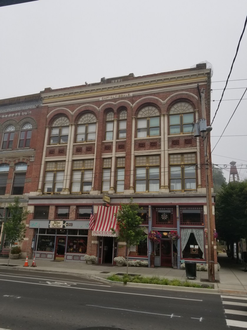
August 18, 2018. Port Townsend to Cat Creek Loop.
(Recap on permits and national parks: To manage the flow of people in the backcountry of National Parks, the National Park Service has a permit system. In the case of Olympic National Park (“ONP”) the system has some loose rules and strict rules depending upon areas. As you might imagine, the more restrictive rules apply to popular and sensitive areas. The less restrictive are more broadly designed to monitor the general direction and volume of hikers. Thankfully, PNT hikers can call and get permits over the phone. I did, but without the benefit of detailed maps in front of me.)
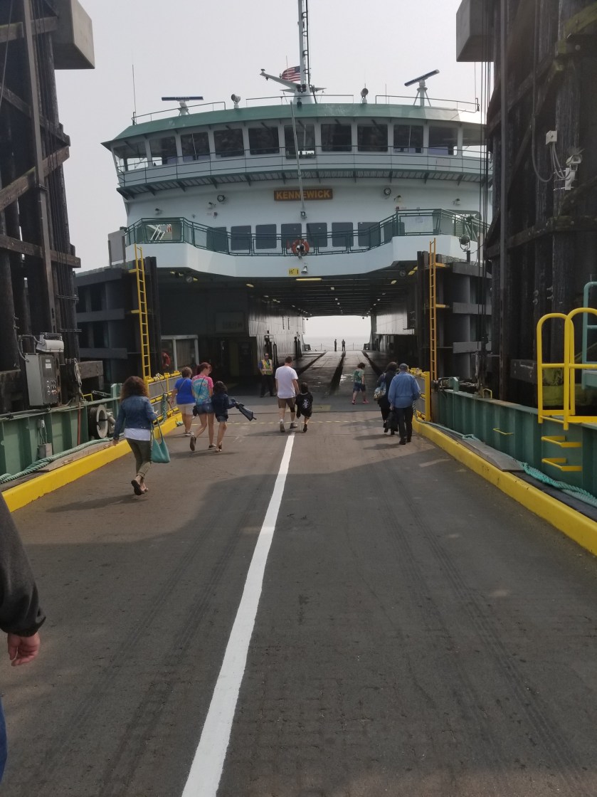
I was ready to go about an hour ahead of schedule. I wandered over to the local bus transit center and got on the 8:00 am #8 bus. It was early, but I was happy to just be on board. It started going the exact opposite direction I expected. I panicked as this was a Saturday and there was only a morning and evening run on the route I wanted from Port Townsend to Discovery Bay. If I was on the wrong bus, it would be a dangerous walk, a sketchy hitch, or a seven hour wait. Fortunately, the driver was just doing a loop through Port Townsend and then came back to the exact place I boarded. From there, we got going.

I exited the bus at Discovery Bay. Not knowing the history, I had to guess that somebody came here and discovered there was nothing. Technically, there was a bar and a marijuana dispensary, but that was it.
West Uncas Road was my route. I shouldered my 7 days of food and started walking up. Immediately, I was hit with a “Road Closed Ahead” sign. Undaunted, I trudged on admiring the farmland that had been carved out of the lush forest. The next road sign said the road was closed at Salmon Creek, which was what I had to cross in order to get to the trail head. I thought this was not good, but what choice did I have?
I got to the road closure, and it was simply a bridge being replaced over a (now) small stream. Easily, I walked down the bank, hopped over the trickle, and climbed the other bank: problem solved.
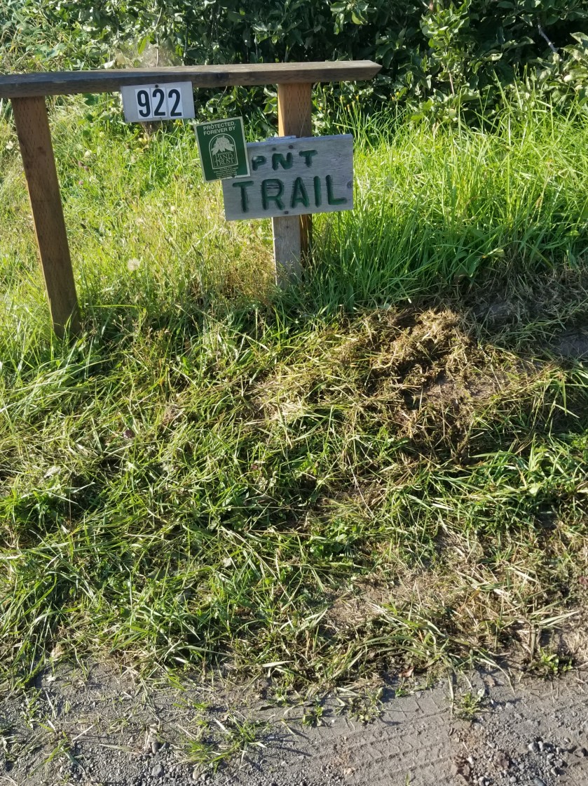
My next challenge was finding the trailhead. The app on my phone said I had passed it. I went back to the driveway of a house and noticed a “PNT Trail” sign attached to their mailbox. However, there were also signs on the driveway saying it was private property and there was “no through traffic.” I walked up the driveway and saw a younger man on the porch. I asked him if this was the way to the PNT. He said he did not know. I asked if it was OK for me to cross the property. He said he wasn’t sure. I was not sure whether he was being difficult or sincere.
I walked further up the driveway and a man yelled out of a second story window “Are you a hiker? I’ll be right down.”
This could be real bad (Hiker Hater) or good (“I love PNT hikers”). It turned out to be good. The man was named Greg and he owned the land, the 120 year old family house having been converted to a rental (i.e., airBandB), thus explaining the guest’s unfamiliarity with the PNT. He was excited about the PNT, explaining the route through his property, his trail angel activities, and an invitation to look at the “cabin” he was building for PNT hikers. He also told me to pick any fruit I wanted off the trees I would pass. He was an interesting and enthusiastic guy and I was very glad I met him.
After crossing his property and the adjoining one, I was on Forest Service land. I was going uphill, but I was not in a hurry. My permit did not have me entering the park until tomorrow, and even then it was a crazy location. As a result, today I just wanted to get close to the park, then tomorrow get right to the edge of the park. The third day, Monday, I would enter the park and stay at my first restricted / reserved campsite per my permit.
Mostly the morning was spent on forest roads. At one point, I walked past a small trail opening, assuming my next turn would be another forest road. After 20 minutes, I checked my phone app and saw I was off course. As I turned around and went back down hill, a guy with a backpack riding a 10 speed road bike passed me, and we said Hi.
Sure enough, the miniature trail opening was in fact the abandoned road I should’ve taken. The bike rider was there too. I shared my map, but he said it didn’t look like the route he was following. However, about 20 minutes later he came up behind me, having decided this was also his route.
We talked for a bit. He lived nearby, wanted to go camping and did not own a car. So, he was riding Forest Service roads to find a campsite. Once we got to a more established road, I urged him to take off and not keep walking. He said his name was Jerome and we wished each other safe travels.
I finally reached a Forest Service campground which I had as a possible stopping point. I walked through the campsite, saw there was no opening, and resigned myself to eating a quick lunch there, getting some water, and moving on. Ironically, with all the smoke in the air and the warm temperatures and fire bans, some people still had some fires burning in their campsites.
As I was packing up, two bicyclists came by and asked me about backpacking. One of them knew a bit about gear and they had several questions including where I was camping that night. I honestly didn’t know and told them.
In the afternoon, I narrowed my camping options down. I decided to go down Gray Wolf trail. This was the old “official” PNT route, but a bridge washout several years ago that had not and would not be repaired resulted in the “official” route changing. More importantly to me, it had water and, from the topographical map, potential flat camping spots. I was surprised at the number of cars at the trail head since this trail ostensibly went about 5 miles, hit an impasse and returned. Oddly, I ran in to the two biking guys. They had some backpacking questions and again asked where I was camping that night. I thought that was kinda weird, so I gave a vague answer. They didn’t look very dangerous, but I never give out specifics to strangers.
The topographical maps were accurate, but the forest was so dense that even flat land was covered with thick foliage. I found a loop trail for Cat Creek and decided to explore that. At a minimum, it would put me closer to water. After a futile half hour, I eventually found a tiny spot where my tent would just fit. It was lumpy, but at this hour, it would have to do. I set up camp and went up the loop trail to get water. Of course, just at the end, there was a perfect, moss moss covered campsite.
I ate my rehydrated meal and marveled at the mossy surrounding, the ground generally three inches deep with living and dead plant matter. Now that I am on the Olympic peninsula, I expected to see more lush forests. My seven day food supply did not all fit in the bear canister. So I hung some and left the rest, especially the more fragrant foods, in the cannister. I did however, find the best use for a bear cannister: as a camp stool.