A Road Walk on Asphalt to Concrete

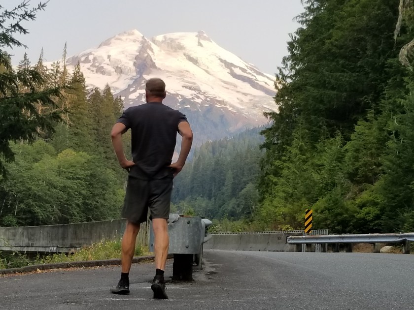
August 10, 2018. From Park Creek Campground to stealth camp in commercial forest above Concrete.

I was the first one up in the campground. The family reunion people must felt at home because they simply let their dogs out to roam. They were pretty well behaved and sniffed their way through my camp.

I had another day of highway walking. My Chief Logistics Officer has informed me of a potential bus route in the small town of Concrete that would get me to Sedro-Woolley where she had reserved a motel and where new shoes awaited me. Tomorrow, Saturday, it only ran twice: early in the morning and late in the afternoon. All I had to do on this day was get close to Concrete and camp so I could pop in to town, eat, and get on the bus.

At first the early morning walk was beautiful with no traffic. I did, however, encounter a tragedy. On a bridge with solid concrete walls, hundreds, if not thousands, of tiny toads were trying desperately to get into the water. I don’t know how they got there, but it was hard to catch and rescue them. After 15 minutes, I stopped trying to help and turned my back. Once traffic started, that bridge was going to be unpleasant.

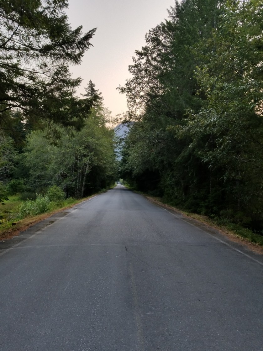
Highway walking is boring. It is repetitive motion, so your feet and legs, which have become accustomed to intense variety, get numbed by the repetition. Mentally, there is not much there other than avoiding being killed. So, I tried listening to an audio book. However, this got to be a hassle because to hear it over the sound of the occasional truck or massive RV, I had to have the volume up too loud.

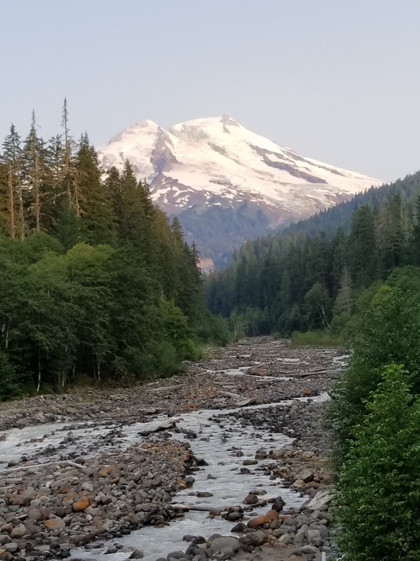
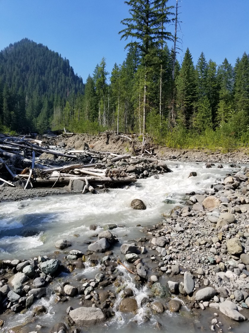
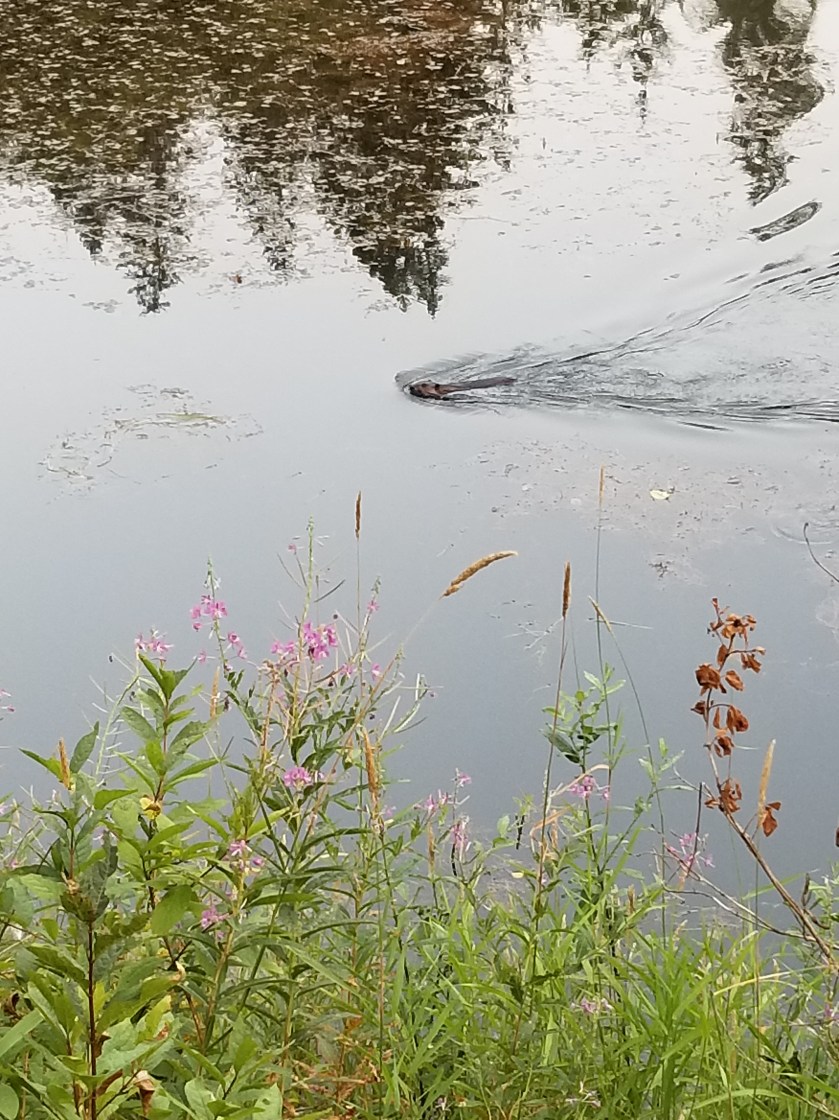
Late morning I came to a stream that was recommended as a good water source. I walked down and there was a lady sitting on the rocks at the stream’s edge about 20 feet upstream. We exchanged hellos. She had a smaller backpack, more like what a student would use than a backpacker. I went about filtering water. Out of the corner of my eye, I could see she was just sitting there sometimes tossing a rock in the stream. I must’ve been too focused on my water because I looked up and she was walking right near me. She said sorry as she brushed past and up close I could see from her skin and teeth she was leading a pretty tough life. She had vanished by the time I got back up on the road.

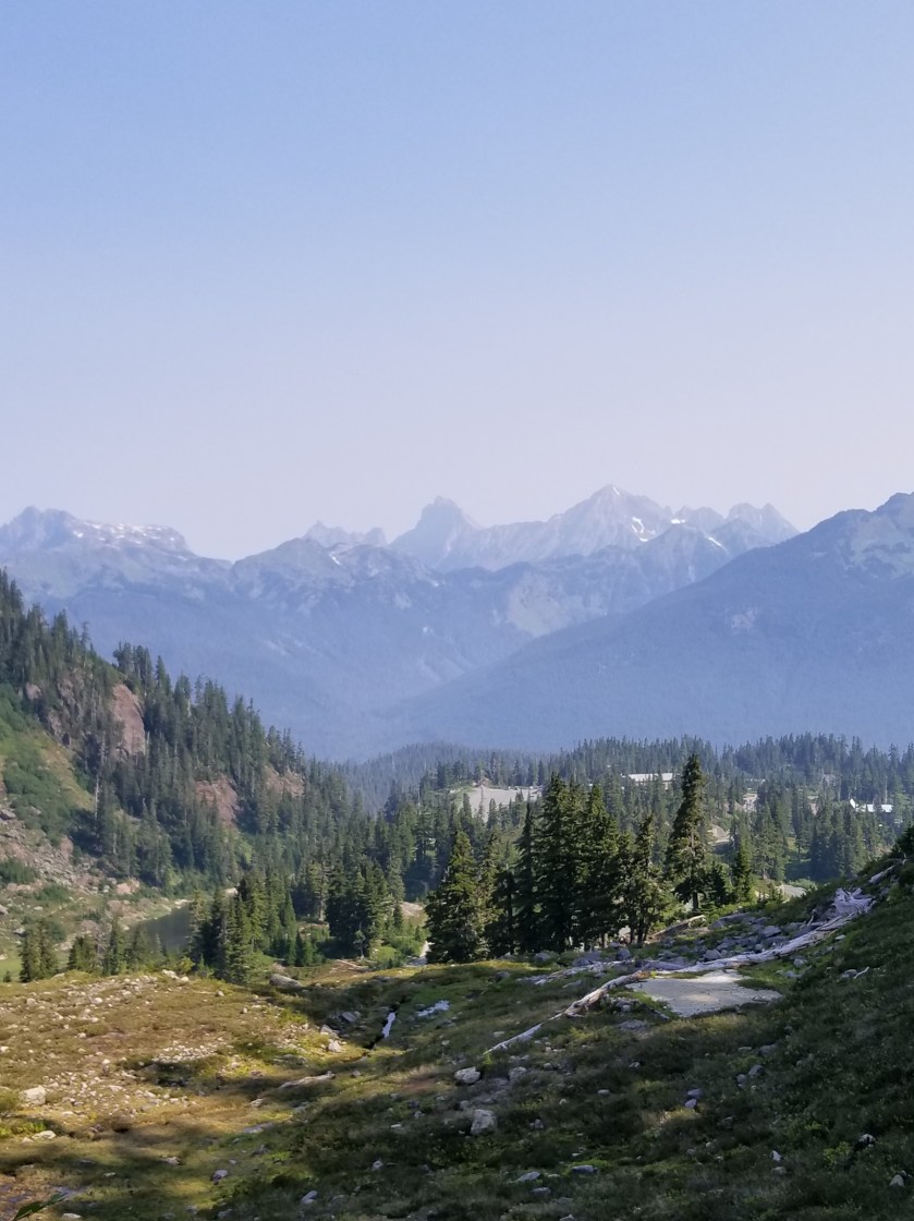
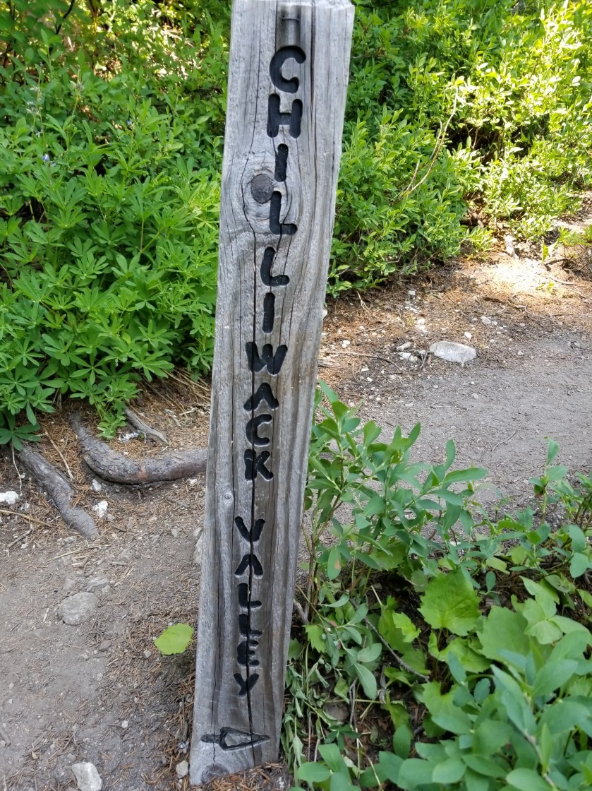
I eventually jumped off the busy Baker Lake Road and went on the shoulder-less Burpee Hill Road. Since all of the motels in Concrete had been sold out for weeks, my plan was to sleep up on the bluff overlooking town and then drop down early in the morning. Hopefully, there would be some public land I could camp on.

Early on, my plan seemed bad. All the land appeared to be privately owned. Just before the road began its curvy descent to town, I passed a gate. It was across a road and said “No Cars Allowed.” It did not say no trespassing or have any other warnings. Earlier, along Baker Lake Road, I had seen similar gates and they did have additional prohibitions. Seeing no overt prohibition, I hiked at least a half mile up the gravel road. It was maintained and used, but judging by the foliage growing in the tire tracks, not very often.

While I waited, a doe and her two fawns snuck out of the woods and foraged before seeing me. You can get a sense of the mosquito level by their twitching.

I waited until dark to pitch my tent. I managed to pitch my tent on what felt like a rock quarry. However, the promise of town food, a bus ride, and new shoes proved a powerful elixir.

Crowds to Solitude to Crowds

August 9, 2018. Base of Mount Baker to Park Creek Campground

Truly a bizarre night of sleeping. I slept very deeply, but more than once cars whipped by on the nearby gravel road, causing me to start awake, but then immediately fall asleep again.

I got hiking around 5:30. The two-lane highway was reported to be dangerous with narrow shoulders, curves, and tourists watching the views, not the road. Almost immediately the road crossed a spring-fed stream, so I poured out my bad old water and drank a lot of the fresh clean water. The old water from last night had been “enhanced’ by adding some Crystal Light to it. I am now certain the Strawberry Kiwi Rust flavor combination will never work.

There was almost no traffic on the way up. After about an hour, views started appearing through the trees. I passed a ski resort and finally reached a large area of buildings and parking lots. While it was geared for mostly winter visitors, there was a fair amount of activity. As I walked through, I kept my eyes peeled for an outlet. Most of my batteries were low. Fortunately, as I passed the ski patrol building I noticed on the front by the road it had a covered outlet. When I tested it, it was live. So, I took about 45 minutes to charge my phone and “brick” battery.

May need the umbrella…
Foxglove grows wild.

My next stop was to get on a trail. This area was designed for people to get out of their cars and hike for a half hour. The trail was clear and clean. It led up to a trail junction that led to a famous overlook called artists point. As I filtered some water near the trail, a couple went by with their two dogs not on leashes.

At the juncture, there was another parking lot that was full. It led to a popular location Lake Ann. I checked the trail register and the usual characters were still two days ahead. Just as I was leaving, another couple walked up with their dog not on a leash.

The trail to Lake Ann was populated and fairly easy. Just when I was going to need to pass through a gaggle of hikers surrounding a stream crossing, my journey veered away to the Swift Creek trail. It was classic PNT. One moment lots of people on a well defined trail, the next walking down a barely discernible path in a meadow.

The map made it look like the trail paralleled the creek and then gradually descended to cross it. At first the map was accurate, but after about an hour, the trail started going uphill. I was concerned and checked my GPS location. I was about 300 feet above where the trail was drawn on the map. However, I had not seen any junctions and I could sometimes see footprints going the same way, so I stuck with it. Eventually the trail did descend, but it sure didn’t match the map.

They look a lot better than they taste.
This fella refused to face the camera. Great camouflage, though.

There had been several references to Swift Creek being dangerous to ford. Steep canyons combined with snowmelt can create this situation. When I finally got to the crossing, the creek was good sized, but not intimidating. A twist was that somebody had installed a zip-line that was about 7 feet above two parallel cables that all crossed the stream. Somebody had flung a towel over the top (zip) cable and seemingly crossed (or tried crossing) hanging on to the towel and tightrope walking their way across. No thank you. I just went down stream about 50 feet, found a slight widening in the stream and moved across. It was cold and it was fast, but the water barely reached them hem of my shorts. It took less than a minute. It reminded me of the Grand Enchantment Trail where there was a lot of hysteria about crossing the Rio Grande, but when I did it, it was super easy.

I still had another river crossing ahead. This one was on a creatively made bridge. Apparently each spring local volunteers come out and create the bridge. It was pretty good work.

Notice how silty the water has become from snowmelt.

I skipped the Baker Hot Springs and crunched down the abandoned forest road that was the trail. At the trailhead, there was a car campground. I walked through it and was pleasantly surprised to find a vacant spot. I dropped off my pack and ran down to purchase the camp spot. Walking back, I noticed that the three consecutive spots leading to my spot were occupied by a family. I guess they were going for a compound look. The had cats, dogs, bikes, pickup trucks, RVs, a boat, and an ATV.

After a little light drinking at the site next to mine, they did head off to bed at a reasonable hour. I had pitched my tent near the stream so the white noise of the creek would offset car campground noises.

This family highlighted an economic subset of our country that may not be highly visible to the average person, but is very clear on these backpacking trips. Specifically, there is a class of people that invest heavily in assets that depreciate. I cannot count the number of modest homes I have passed where the yard is covered with a late model pick-up, a boat, ATV, and/or an RV. If it is all new, then there is easily $5,000 to $10,000 of value just wasting away each year. Heaven forbid they bough on credit. I always am curious what these people have in their three digit plans(401 and 529). Obviously there is some pleasure derived, but adding up licenses, insurance, maintenance and these items are a real economic drain.

I discovered I had managed to place my tent on a fine set of tree roots, I was too tried to do anything except scoot around until I was able to lay down in an intuitive yoga position that avoided touching a root but was guaranteed to make me stiff tomorrow.

This tree was determined to grow even though it started life on top of a rock.
Among small ferns, a white flower that looks like baby’s breath is quite attractive.

Continue reading “Crowds to Solitude to Crowds”

At the Base of Mount Baker

August 8, 2018. From Whatcom Pass to Mount Baker.

I was the first one up. Got my food and took off downhill. The glaciers on this side of the Pass were bigger. I wish the sun was higher to bring out the beautiful blue of the ice that is at the center of the glaciers.

The air had cleared and I was cruising downhill. I knew I had a long day ahead of me as I needed to get to the base of the Mount Baker highway.

After breakfasting on several spider webs, I stopped and had some trail mix. I was brushing my teeth near a stream and a couple showed up. They were out for few days. Just as they were leaving, a group of five ladies came by. They just said “hi” and passed by.

Later, I came to the famous cable car over a river with the improbable name of Chilliwack. The cable car is a two seat basket. You get in and pull yourself across.

I couldn’t figure out how to video the trip across. About halfway across, I did stop and notice how frayed the pulling rope was. Definitely a unique way of crossing a stream.

At the other side a mother with two kids and her dad had differing levels of enthusiasm about the ride ahead. Mom was far less enthusiastic than the little boy.

As the day wore on and I approached a popular trailhead, there were scores of people, all shapes and sizes and ages. One couple I met at the apex of Hennegan Pass. They had full packs and some climbing gear. They knew about the PNT and offered me rides since they lived right near the trail in Alger. Really nice folks.

I continued a long, shadeless grind downhill. For the first time in weeks, I broke out the umbrella for shade. It was wonderful. Not sure why I have such a Mary Poppins complex against using it more often.

I reached the trailhead and began a long walk on a gradually declining gravel road. One car did offer me a ride, but I declined.

I went past a cordoned off area that had a few dozen bee hives right beside the road. Not sure what the bees were pollinating, but I didn’t want another sting and went by swiftly.

The evening was warm and windless. I had a freak event happen. I was just walking along and about 100 feet into the forest, a good-sized dead tree just snapped and fell straight over. Random.

I finally reached a developed forest service campground at the bottom of the climb up the Mount Baker highway. It was called Silver Fir. All the places were taken. I looked at places to stealth camp, but didn’t see anything good. Then, I used their handpump to get water. I filled up my three liter platypus bag, but the water looked a bit off.

I crossed the highway to a lot used by the highway department. It also had some snowshoeing routes for winter. I went down a gravel road and after a quarter mile saw a small clearing where I could fit my tent.

I ate as it darkened and got into my tent. The water I obtained from the campground was so rusty it made me wonder how long it had been since my tetanus shot.

It was one of those nights where I don’t even remember putting my head down before I was fast asleep.