Penultimate Day

August 26, 2018. Stealth camp before cedar Creek to stealth camp before Yellow Bank.

I got up early because low tide was around 7:30. The first part of my morning was easy hiking on firm sand. It was overcast with de minimis drizzle.

After the easy hiking, I rounded one headland and fortunately hit another lengthy sand beach leading up to the Norwegian Memorial and the adjacent campsite. The Prince Arthur of Norway crashed on the rocks nearby in 1903 and a monument was erected in honor. There were some appropriate mementos at the base of the memorial (flags for the US and Norway) and inappropriate (a shoe insert).

I could’ve stayed at this campsite, but it was still morning and high tide would not happen until after 1:00. However, designated campsites after Norwegian required a reservation. I opted to get close to the first restricted site (Yellow Banks), leaving just six miles of beach before reaching the trail’s end at Cape Alava tomorrow.

Based on this decision, I had to do some rock scrambling. Along the way I found an amazing variety and volume of waste on the beach. Fishing nets, flotation devices, cable protectors, rusty barrels. The most depressing was the sheer volume of plastic water bottles. Worse, so many of them were half full. Terrible.

Fortunately, no head was attached.
I was shocked by the large amount of netting that had washed up.
Try as I might, I couldn’t come up with an explanation.
OK. So just once in college I did experiment with Happy Time Assortment.
No comment.
This headless skeleton appeared to from a sea lion.

I found a cove that seemed very remote based on the amount of material washed up. It had little beach and a lot of driftwood. Since high tide would be in soon, I opted to get up high and wait for the tide to recede. I found a good spot and even managed a short nap.

Moving again, I soon approached Yellow Banks. Before it, there was a well-used campsite that I grabbed. I had a late dinner and watched the horizon, hoping for a repeat of last night’s show. Unfortunately, the sky remained gray. As this was my last night, I reflected a bit but did not get sentimental. It was time to finish.

This decoration marked the entrance to my camping spot.
Looking up the cove, I could barely see the Yellow Banks.

The Bogachiel

August 23, 2018. Deer Lake to Bogachiel Campground

Since I camped in a meadow near a lake, it was inevitable my tent was covered with condensation. It was just a little brisk as I gathered the bear canister and packed.

I went out past the toilet. Given the soil composition and number of visitors, the human waste goes into what can only be described as modified coolers. When necessary, a batch of full ones is swapped (via helicopter I presume) with empty ones. The main takeaway for me was to never, ever buy a used cooler.

I started climbing up from Deer Lake via a different trail. It was 6:30, but once I got past the two main camping areas I was pretty assertive with the “Hey bear” mantra. I didn’t want to startle a black bear sleeping on the trail with a huckleberry hangover.

Although the trail was climbing out of the Deer Lake basin, it did so in a gradual manner through pretty country. At the peak, I started walking along a tree covered ridge. It was perfect as far as I was concerned: up high on smooth trail with cool air.

After a few miles, I reached a break in the trees. I was surprised to see that upper level winds had blown away the smoke from some mountain tops given gorgeous views.

Soon after, the honeymoon was over as the trail descended. The trail turned into a rocky dry creek bed with blow downs. Although the forest was pretty, the condition of the trail detracted from the enjoyment.

Along this portion of trail, some emergency shelters had been constructed many years ago. I am speculating, but I think they were meant for people unprepared for a snow storm. Essentially, they were three sided lean-tos.

The trail followed the Bogachiel River as it grew in size during its descent. Once the trail and river leveled, portions of the trail were overgrown with plants up to my chest and head. What made it treacherous was the occasional hole dug by a badger (or similar sized creature) that could easily swallow a foot and really mess up an ankle.

I pushed to reach a camp on the map called Bogachiel Camp and Ranger Station. It was a challenge, but I got there. Unfortunately, it was missing just two things: a camp and a ranger station. I walked the area three times and found nothing. Instead, I shoehorned myself into a cramped spot in the dark. It was not ideal, but it was my home for the night.

The Wind That Did Not Roar

August 20, 2018. From Deer Creek Trail Head to Roaring Winds.

I woke up a little groggy. The smoke from the Canadian fires came in strong overnight. A couple times during the night I woke up because of the smell of smoke. You would think my sense of smell would be used to smoke by now.

There was a curious little tree peeper that watched me pack. He was so small I might’ve stepped on him if not for the bright color.

This guy was so tiny.

After packing, I started up the Deer Ridge Trail. At first, it was a nice steady climb. While I was messing around with a very weak cell signal, a day hiker came along. His name was Dave and he was a peak bagger. A peak bagger is somebody who sets goals of certain mountain peaks they want to climb. Typically, they try to hike up without the special gear that moutain climbers use. One of the best example is Coloradans striving to climb all peaks in their state 14,000 feet or more above sea level, called 14ers for short.

The sun struggles to shine through the morning smoke.

As the trail steepened and Dave conversed easily while I huffed and puffed, it was clear this 67 year old was in great shape. He was very knowledgeable about almost every Washington mountain I had seen. He lived nearby and even offered a place to stay on my way home if needed. I would consider myself lucky to be like him.

We parted company at the first camp inside ONP, Deer Park. My first and foremost job was to find water. I went to the ranger station to ask, but a sign said “On Patrol”, which I cynically took to mean napping.

I did find beautiful water right at the trailhead. My trail and campsite were all high and dry, so I tanked enough for the rest of the day and tomorrow morning. After filtering, I made a rookie backpacking mistake. Lost in thought, I took some big swigs out of the bottle in my hand. Looking down, I realized I had been drinking out of my “dirty” water bottle which is used to push water through my filter. I hoped I was so high and close to the water source it was safe from giardia and cryptosporidium. Well, I would definitely be the first to know.

As I started on the trail, I noticed some excellent trail work. In particular, the drainage was being done beautifully. In a mile, o met the two gentlemen responsible for the good work. They both were volunteers. I complimented and thanked them.

The hike was high and gorgeous even though the valleys were smoke filled. I passed about a dozen hikers, half of them day hikers.

Hazy views

Midafternoon I reached my assigned campsite called Roaring Winds. It was on a saddle between peaks and had a reputation of living up to its name. Nobody was there, so I snapped up the most protected of the four sparse sites.

The Roaring Winds messed up my fancy hair.
I wasn’t sure whether this butterfly was attracted to the yellow color or wanting to send an SOS.

Wouldn’t you know it, the wind ceased around 5:00. Above, there was a predictable roar of navy jet engines returning to base every 15 minutes. Such a juxtaposition: a quiet, still national park interrupted by the scream of fighter jet engines.

Nobody else showed up at any of the other three sites.

As the sun set over the flank of Obstruction Point, I grabbed a few photos before calling it an early night.

Last night an expletive-filled domestic dispute. Tonight, not even a breeze, let alone a Roaring Wind, to make a sound.

Zero Day in Port Townsend

August 16 and 17, 2018. Port Townsend.

I was getting a big resupply here, including a bear canister. I’ve never used one before, but they are required in some part of the Olympic National Park, notably the coast. The savage beast causing the requirement for bear canisters? raccoons. In case you don’t know, a bear canister is a round plastic jar with a screw on lid. It is too big for a bear to get its jaws around and the roundness prevents their claws from digging in. Also, it supposedly seals in odors. Who knew, it is effective against raccoons, too.

Backpackers hate canisters. They are heavy and take up a fixed volume. Instead, food bags that are light, roll up, and can be hung are preferred.

I tried to do my usual of museum-then-library. However, I soon realized this is a major tourist town. First, cafes and bistros were not going to open until 10 am. The museum would not open until 11:00. So, I got a good walking tour in and went to the library. It was one of the Carnegie-funded libraries, busy, and beautiful.

Port Townsend started out life in a very promising manner. In a nutshell, it was to be the primary port in Washington. The initial wealth resulted in beautiful homes and buildings being built in the late 19th century. Subsequent hard times (i.e., depression and Seattle’s rise as a commercial center) caused a big outflow of people. However, once the Coast Guard established a base nearby, the population stabilized. As the museum docent described it, “hippies” discovered the place and saved it in a certain sense. The town never went through the phase where the old houses and buildings were torn down. So, when yuppies found beautiful Victorian homes and charming old buildings, the place took off. It is touristy (I paid $14 for a simple Reuben sandwich) but it is worth it. I must say I thought the museum charged way too much for such a small display, but the old jail was interesting.

The historical fire bell

I loved the whitened teeth on this architectural detail.

I did see a clutch of PNT hikers outside the Safeway store. They had some plan to rent a taxi and get near the trail. Only one of them offered a name (Nick Berg) and one of them was from Staples MN. It was nice to see their enthusiasm for the finish. Not Guilty was the last to join the group and he was also heading out that night.

Lastly, a steady ocean breeze from the west was clearing up the air. I could see across the water to other land forms and the sunsets and sunrises were blander with less red / orange coloring. My motel looked at the harbor and I could see the fishing boats come in and unload their catch.

Note: both of my loyal blog readers know I love signs. I was ecstatic to find this one. In the old days there used to be something called common sense. Further, a detailed asterisk was not needed.

I always carry a little extra duct tape in the summer.

I also got a glimpse of future me. He went through a 10 minute battle royale bobbing in and out, but sleep won.

Bus, Feet, and Ferry

August 15, 2018. Oak Harbor to Port Townsend.

Another motel continental breakfast got a bit of food and coffee in my system. I left the motel and found a route that would intercept the official PNT right near the coast. I perhaps owe an explanation. There was a state park where I could’ve camped in my tent. It was about another 6 miles. However, with a perfectly good town nearby, I grabbed a motel and a cooked meal.

The route I chose did walk me through this military-based town. I went by huge walls of blackberry plants and finally encountered people harvesting these beauties. Back home, I would probably pay $5 for a pint, but out here the plant is a nuisance and it is amazing to see so much ripe fruit just waste away on the vine.

When I reached the beach, the tide was high so I walked the nearby road. It was fairly boring. In another unique PNT moment I was walking along and a car came towards me, looked at me, and slowed down. In about a minute it had turned around and crept up beside me and the lady inside asked if I was a PNT hiker. She was the local trail angel and she and her husband hosted hikers, including the Brits currently.

She offered a lift and encouraged me to stop by. I stuck to the road walking and reflected how nice it is that people are actually keeping an eye out for hikers.

Once again I found myself near the dreaded Highway 20. Fortunately, there was a nice bike path that was parallel and I took that until I could cut over on farm roads towards the ferry. I was walking down a quiet Engle Road and was about two miles from the ferry terminal when a small local transit bus went flying by. It braked hard. It started backing up. I shook my head, indicating I was not looking for the bus, but still it backed-up the road. The driver asked if I was going to the ferry, I said yes and before I could explain that I wanted to walk, he got urgent and said we could just make the next one but I had to hurry. There was another, older couple on the bus. The driver was a little edgy, like he had downed a lot of coffee, but he got us to the terminal just in time.

I kind of like ferry rides. Even though this one is short and despite the smoke in the air, you could still see the outlines of islands. Port Townsend appeared as we docked and I was close to a motel and a zero day.

Chuckanut to Anacortes

August 13, 2018. Lily Lake to motel in Anacortes

I did leave early, but somehow I managed to wake up Not Guilty. I said good-bye and we thought we’d meet in the next town (7 miles) for breakfast.

There was a timber harvest going on so there were some temporary trail closures that got me confused at times. Still, I made good time while the sun rose through the smoke filled air.

How would you like to wake up to this crawling across you?
I loved how the most covered the dead branches.
This boulder, I believe it might be classified as an erratic, was huge.

I got my first glimpse of Puget Sound, but a glimpse was all given the haze. This would be a spectacular trail on a clear day. At the bottom of the trail, there was a carved stone marker related to the PNT. All the words were spelled correctly. However, the math did catch my eye, not adding up to even 1,100 miles when the trail today is over 1,200 miles. Must be reroutes and other changes.

When this monument was made. The trail only covered 1 106 miles.

I finished walking down the mountain on Highway 11. A bizarre event happened when a shiny new black pickup pulled up next to me and asked me oif I had camped up on the mountain. The driver looked like a cop. I said yes. He asked if I had seen anybody else. I explained Not Guilty was on his way down, but otherwise no. He revealed he was with the railroad police and was looking in to somebody shining a green laser into a train engine last night.

Once the road flattened on the coastal plain, I started seeing a lot of bicyclists. It was flat, open farm country that backed up to the Chuckanut range. When I reached the small town of Edison, there were two cafes right there. Both, unfortunately, were closed. I went up to see the hours, but was disheartened to see they were both closed on Monday and Tuesday. Yup, I was in a tourist area.
While I was on the porch, a lady in a Subaru rolled down her window and asked “Can I help you?” which I interpreted as “what the hell are you doing peering in the window, bum?” When I explained I was looking to see when it would open, she said everything was pretty much closed, but down the road about a mile there was a bakery open. She then offered a ride, which I declined. I clearly had misinterpreted her.

When I got to the bakery, the same lady was out front, caring for the decorative flowers in front. I said hi and thanked her again for her help. We chatted for a bit. Under the heading “Small World” she was from Wayzata, Minnesota which is the town adjacent to where I live.

I ordered some delicious looking baked goods at the bakery (called ‘Breadfarm”). She came in, gave me a bunch of organic carrots she grew herself and paid for my food. I thanked her profusely and then decided to pay it forward.

I told the lady at the counter that a backpacker named Not Guilty would probably come in. Last night he had told me how much he loved good focaccia bread. So I prepaid for a small loaf and described him. I hope it worked out.

The rest of the day was a long but pleasant roadwalk near the coast. That is, until I reached Highway 20. I pulled the ultimate bonehead hiker move. There was a gas station where the trail put me on Highway 20. I got water and a coffee and put my feet up. Then, I started walking along Highway 20. About a mile later I saw some road signs that did not make sense. I then checked my phone app and discovered I had walked a mile the wrong direction. Fortunately, I was near an intersection and able to safely cross the highway.

Just as a I was heading back, a Mercedes van pulled over in front of me. The driver popped out heading towards me. He didn’t look like a nut job so I wasn’t too nervous. Turns out he was a PCT veteran heading to PCT days and thought I looked like a PNT hiker. I confessed I was, declined hi generous offer of a ride and learned his trail name was “Meander”. Neither he nor I mentioned I was about a mile off course. There is honor among backapckers.

The next few miles were simultaneously boring and life threatening as I followed Highway 20 in the right direction. Along the way I was amazed to see how many birds are killed by cars. I also found some dude’s paycheck. I took it into town and would mail it to his employer. Lastly, I went over this huge bridge that thankfully had a separate passenger path.

Rather than take in the whole scenic walk around an entire oil refinery, I took a minor short cut. Then the trail goes over Fidalgo Bay for almost a half mile on a hike/bike trail. The tide was coming in and there were harbor seals and an otter feeding just off the bridge. It was fun to watch.

My last unusual human interaction happened when I finally made it to Anacortes proper. A bicyclist pulled up and asked me if I had been much further up the coast earlier in the day. I said yes. He said he had seem me walk by his office and recognized me just as he was getting home. Nice guy and he gave me a solid restaurant recommendation.

The restaurant was great (Naung Mai Thai Kitchen). Stuffed, I tried to go to sleep early, with some success.

Massive Trees

August 7, 2018. From Big Beaver Camp to Whatcom Pass.

I was glad to get moving in the morning. I could smell the smoke in the air and feel the building heat.

Fortunately, most of my morning would be spent gradually heading upstream along Big Beaver Creek.

There were two immediately striking features in the morning. First, the bluish, opaque stream colored by the grit from snowmelt. Second the huge cedars and western hemlock. Massive trunks supported a canopy of branches a hundred feet up.

This environment was good for toads and their offspring. When I first saw the forest floor moving, I thought it large ants.

This skinny guy was hard to see.
This one was not so hard to see.

The trees were interesting. Their size meant they truly blocked out sunlight from plants below. It struck me how little life there was. Hardly any songbirds, scarcely a sign of deer or squirrels. Cedars and hemlocks produce tiny cones and consume all light. In poignant contrast, the mosquitoes were large, numerous, and happy to see me.

This cedar had to be 20+ feet in circumference.
Quick, who is older?

Due to the absence of wildlife and wind, the cathedral-like forest was hushed, like when you walk into a large empty church. If you stopped, there was an overwhelming sense of space and silence (except for the tinny buzz of mosquitoes).

When light penetrated, it would occasionally reveal an intricate spider web. Try as I might, I cannot get a satisfactory picture of a spider web.

I found a charming stream and got some water that was not silty.

Later, I met a group of two guys and one lady, all young and in a hurry. Selfishly, I was hopeful they had been hiking a while and therefore had cleared all the spiderwebs on the trail. No such luck. Just after I passed the next campground, the webs started again.

A bit later, I met another two-men, one-woman group. They were from South Carolina, up for a friend’s wedding. Fun people.

I climbed over a ridge from Big Beaver Creek and dropped steeply into the next valley with the unimaginative name of Little Beaver Creek. No idea what the would’ve done if there was a medium sized beaver.

Subtly, the flies began to dominate the mosquitoes. Less quick to bite, their size and relentlessness made them more irritating.

One thing about federal parks or recreation areas: they do bridges right.

I made my way up the valley. It got high enough that there was snow and glacier up high across the way. With the heat, the melt created numerous waterfalls. Visually, it was mesmerizing.

Whatcom (pronounced watt come) Pass was my reserved campsite. It had a legendary reputation as an intense climb. It lived up to its reputation. Near the top, some of the wood buttressing the slope had dissolved.

The gray timbers were there to shore up the gravel trail above.

The campsite had a reputation as prone to bear visits. As a result, I ate my dinner about a quarter mile away to cut down on odors. There was a boulder field with a lot of pikas who squeaked their annoyance at me.

I was the last to arrive at the reserved campsite, so I got the least attractive campsite. The best tent pad looked straight down the valley. Mine looked north at a boulder field. I hung up my food and got my tent put together.

I heard the Pikas going off. Then I heard a large rock tumble. I looked and at the edge of the boulder field was a good sized black bear pointed uphill (away). don’t know the proper way to size black bears, but he looked like four Labrador Retrievers mushed together. If you’ve suffered through earlier blog posts, you know I am not a fan of bears. I yelled and he moved a bit and looked at me. Finally, I clapped loudly and he scurried uphill and away from the Pass, in to the trees.

My neighbors came over to see about the ruckus. We had a good chat and they all said they had hung their food. As you can imagine, I did not sleep too well, startling awake to the slightest sound. As you can equally imagine, nothing happened. When I reflected on this bear’s behavior, he seemed to just want to go over the pass and avoid humans. The biggest wildlife lesson on this trip is that animals very much use passes and saddles as transportation highways.

Rebound to a Good Day

July 15th, 2018. From stealth camp on Lion Creek to Mankato Mountain.

It was warm to start. Normally, camping by a creek can lead to waking up with a damp temp as cold wet air sinks. Not this morning. It was going to be warm.

I cruised past all the RVs and boats and jet skis and ATVs at the campground. When I get home, u want to add up how much America spends on all of these and I will bet it probably ranks in the GDP equivalent of some European countries.

Don’t get me wrong. I am not trying to be self righteous and insist my way of enjoying the outdoors is best or right. Instead, I am concerned that people take so many mechanical distractions with them to the wilderness.

Off of my soap box, I traveled past Upper Priest Lake and some great campsites. Then, without warning, I entered an area that was epic. Recently society has screwed up the word epic by applying it to common things. Thus we lose the true impact of epic when used appropriately.

I entered a land of giants. Cedars. Trunks 12 or 20 feet in circumference. Crowns reaching hundreds of feet high. Walking on a forest floor of decades of fallen needles and cones. A smooth green shag carpet of ferns wherever a ray of sunlight would penetrate. No wind. Once in awhile a whitetail. This went on for several miles. I’ve been to the Sequoias and redwoods, but this was so unexpected and vast that I have to call it epic.

But then hot road walking kicked in. Eventually it switched to trail. Finally, it switched to uphill forested trail.

I climbed up along Jackson Creek. I was very thankful for the tree cover because it was hot. The guidebook suggested collecting a lot of water at the bottom. I did and was lugging five liters which is 10 lbs.

Surprisingly, the mosquitoes were horrendous. At least 20 or 30 around me at all times. I used DEET 100. Some people hate it and I may end with numerous tumors and lesions, but by God did I get relief from the little bastards. Except, of course, when it dropped in my eye along with sweat which is a feeling comparable to someone grinding lemon juice with tobasco into you cornea.

Except for the mosquitoes and passing dozens of streams with plentiful water, I felt good and trudged my way up. I entered a burn area with fantastic views. I had my eye on a saddle between peaks that was level and I could have sunset and sunrise views.

Finally, as I approached, I saw tents. There were three ladies camping there, enjoying their dinner and my view. We chatted a bit, but I pushed off, hoping that the saddle in a half mile would offer similar views.

Upon arrival, I found the Washington Trail Association trail crew. This was great because these were the heroes cutting up blowdowns and making the trail clear. Selfishly, it sucked because the next flat area on my map was a half hour away and it was getting dark.

Out of the blue, I spied a little flat area about 50 feet downhill from the trail. I was able to scratch out an area big enough for my tent. As is my custom, I sent out a satellite note to my family identifying my stopping point. I was surprised to see I was on the slopes of Mount Mankato. In Minnesota, Mankato is a sleepy college town on flat land, so I have no idea how this mountain got named.

Just glad to be laying down, I watched as darkness enveloped the valleys below while the relentless mosquitoes still tried to get in my tent.

A (Not So) Brief Recap of Bonners Ferry

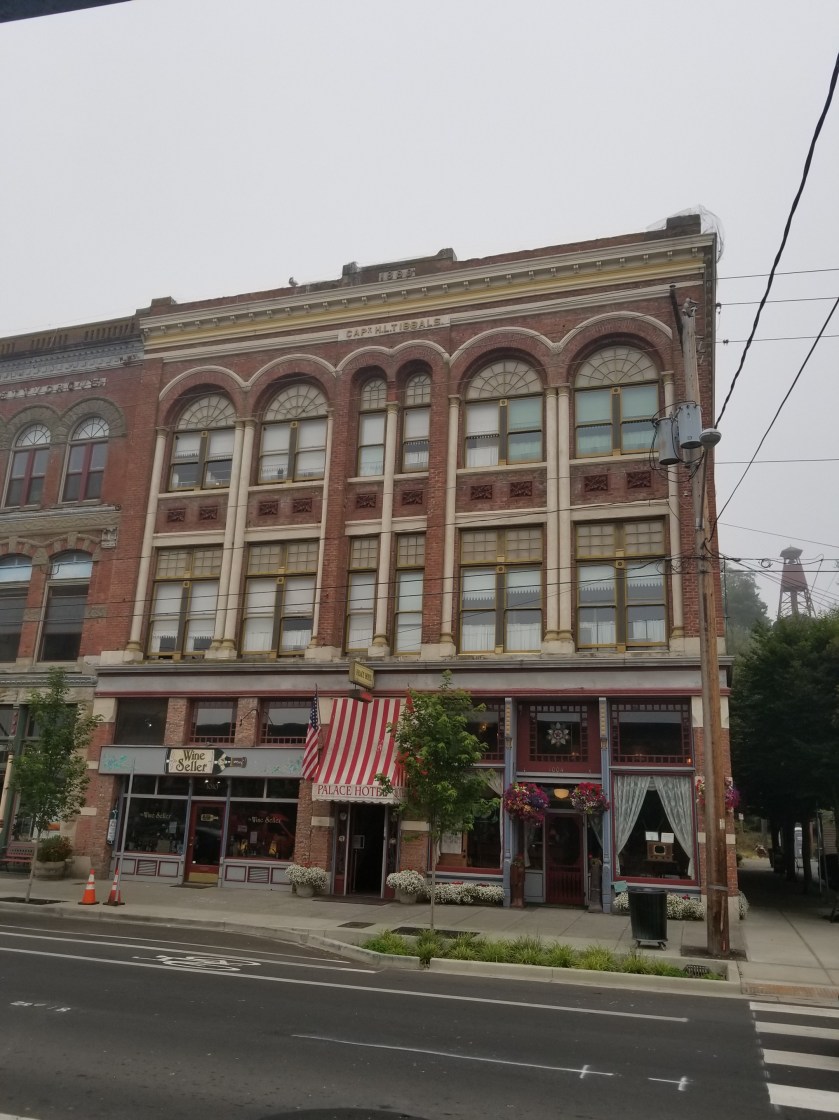
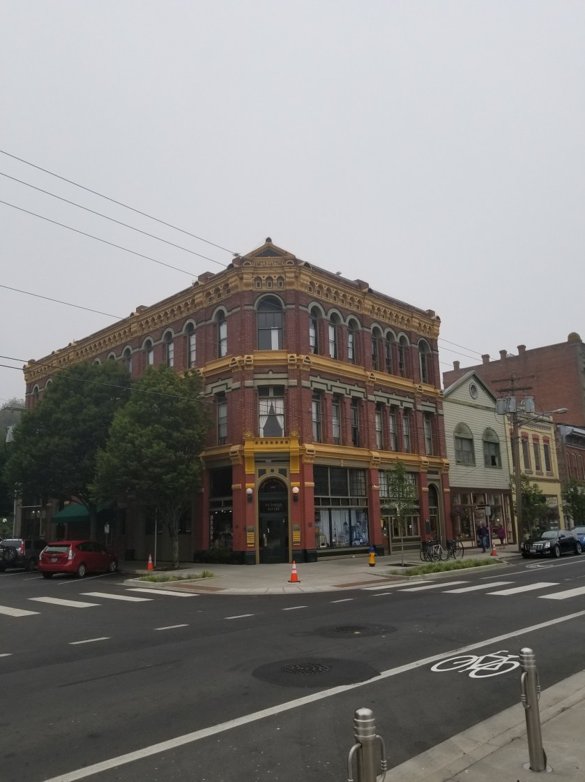
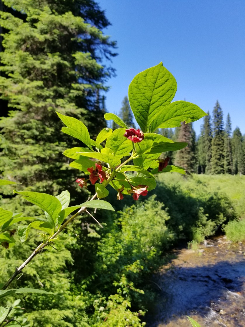
July 12, 2018. Zero Day in Bonners Ferry.

If you have been reading this blog for some time then there are two things: you need to get better reading material and you know I love to hate bad signs. You’ll have to resolve the first thing and I’m not sure where the latter comes from. It could be EOGOG (Early Onset Grumpy Old Guy), but is it really all that much to ask that people who make big, permanent, useful signs take maybe just a second to double check their work?

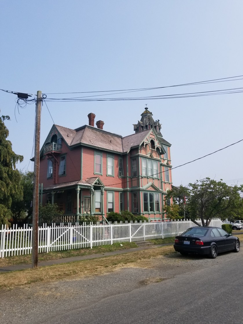
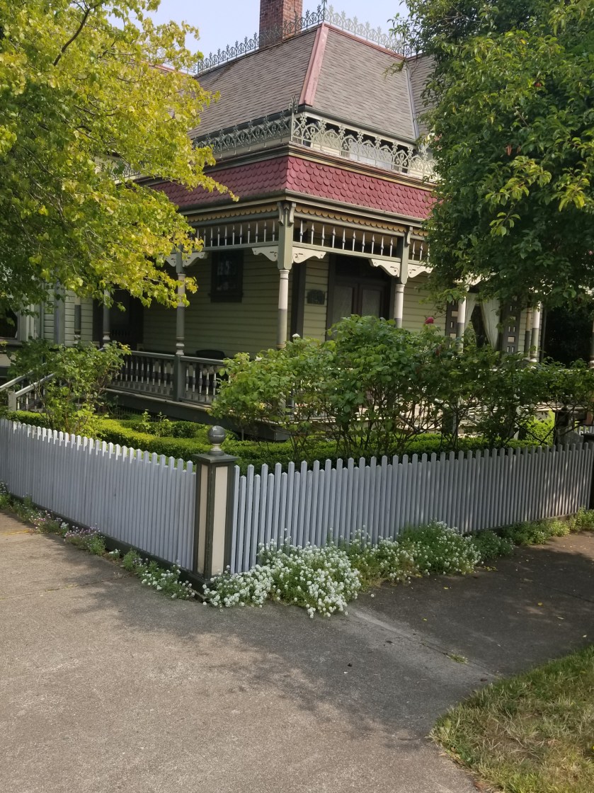
With that set-up you know exactly what I had to accomplish today: where the hell did the apostrophe go? Edwin Bonner from Walla Walla, Washington ( a town they loved so much they named it twice) had one of the few official licenses to ferry people across the Kootenai River. So, why was it not Bonner’s Ferry?

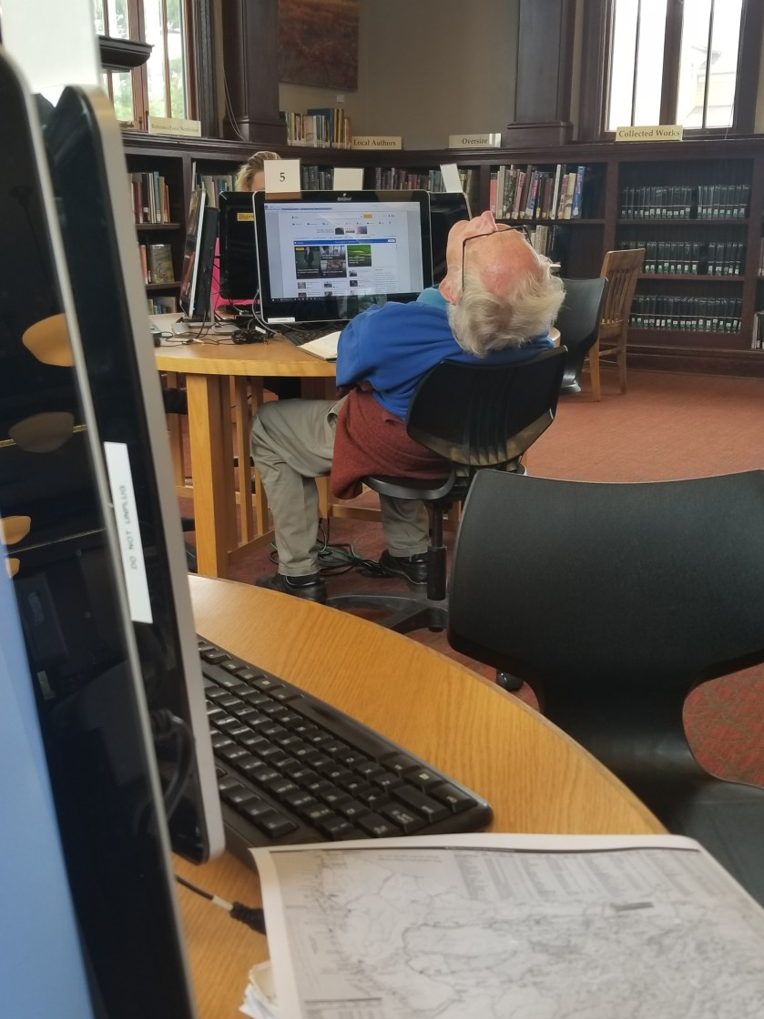
Until the historical society opened, I first mailed home some extra gear, bought mosquito repellent, and then went to the library to catch up on blog posts, perform some financial stuff, and research the town I was in. I must say librarians, contrary to stereotypes, are generally friendly and extremely helpful.

In case you forgot or are hamstrung by youth, the Ruby Ridge incident occurred here in 1992. Oddly, it happened on Caribou Ridge. Long story short, federal law enforcement agencies had a shoot-out, then a siege, with a reclusive family. The man at the center lost his wife (sniper shot) and son and dog. A US Marshal died as well.

At the time, my simple mind encapsulated it as nut job shoot out with trigger happy feds. More nuanced than that, in the beneficial light of hindsight, it really was a tragedy. Weaver really should’ve just gone with the flow and appeared in court and not escalated things. The feds really made a mountain out of a molehill and got way too aggressive. In short, it was a bunch of guys who wouldn’t back down or compromise.

Back to the hot topic of the day, I noted the time and went to the Historical Society for Boundary County. When I walked in, a bearded fellow who must clearly perform some Santa Claus work in season, put down his browned historical newspaper and greeted me. I explained I am hiking the PNT and like to learn about the towns I visit and asked if he could give me an overview of the museum.

Immediately, I got the sense they tend to get one type of visitor. His smooth opening line explained there was a $2.00 admission fee and the bathrooms were down the hall.

Having cleared that up, he overviewed the following areas / collections

  • Railroad
  • Mining
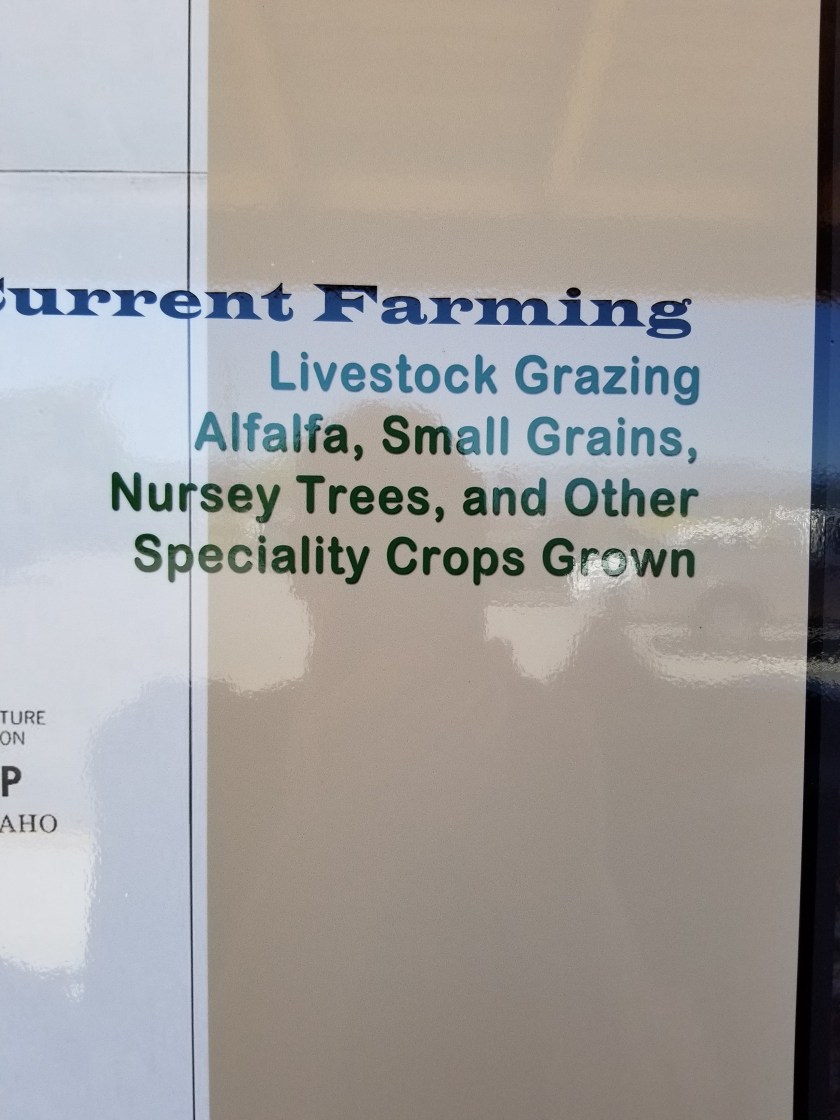
  • Farming (early, 1930s, today)
  • Chinese workers
  • Women’s roles through time
  • Wooden clock collection
  • portrait gallery
  • Saloon
  • First Doctor
  • Native Kootenai history
  • Gun collection

And a whole lot else that I didn’t catch. Fearful he might grab me by the elbow and show me all of it, I broke off to the railroad & farming.

Wouldn’t you know it, one of the first exhibits about farming was a large display contrasting early versus current farming.

I patiently extracted my $2.00 worth of value. They truly had tons of stuff. I’m not sure many people died in Boundary County without naming the historical society as a beneficiary. Indeed, there was a collection of about 30 large wooden clocks. They were all elaborate scroll cut pieces with a generic clock put in it. Clearly these were kits. The blessed retiree obviously spent 1,000s of hours on his hobby. However, I’m sure his long-suffering wife must’ve pleaded like crazy to be sure the entire collection was donated to the historical society to get it out of the house.

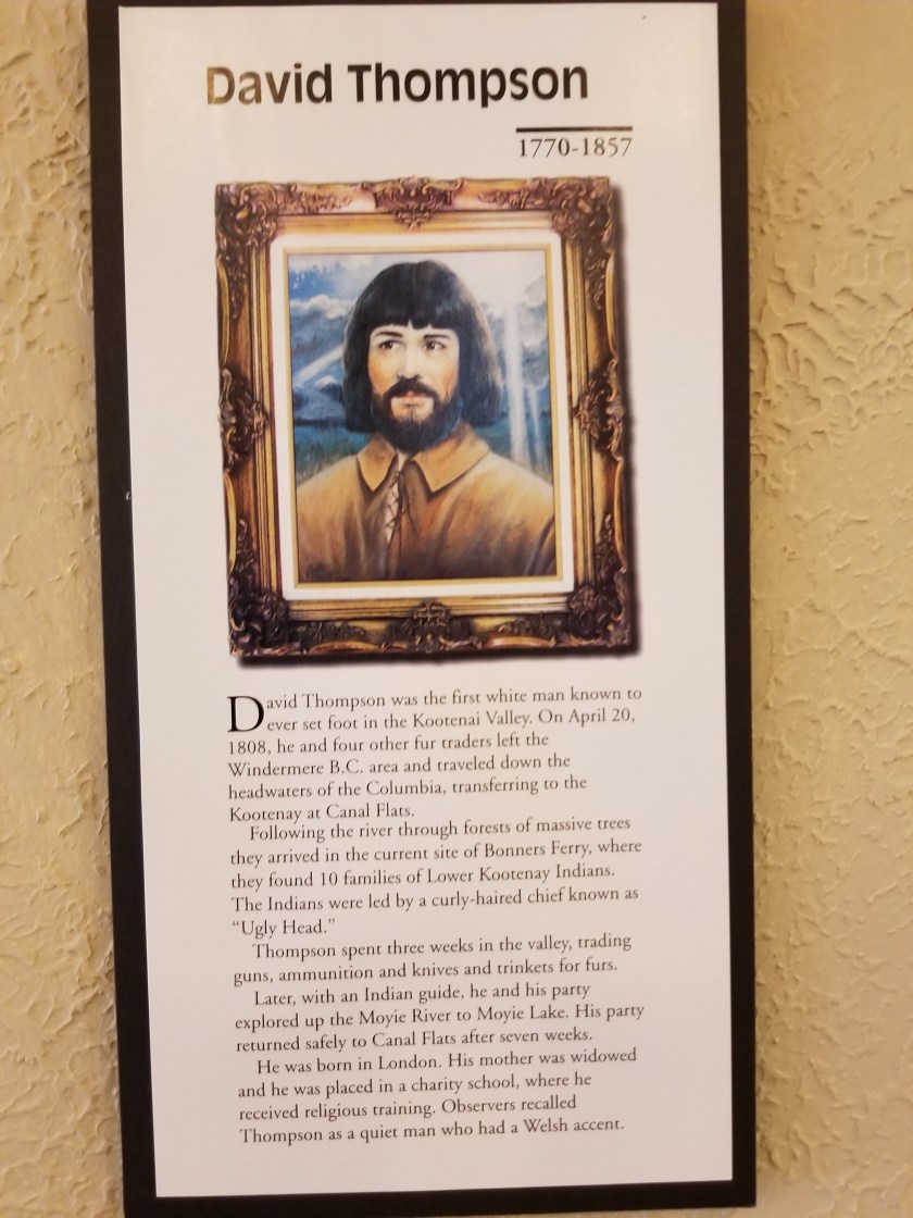
The portrait gallery was surprisingly large if not awfully good. One early hero was painted with quite a fetching style.

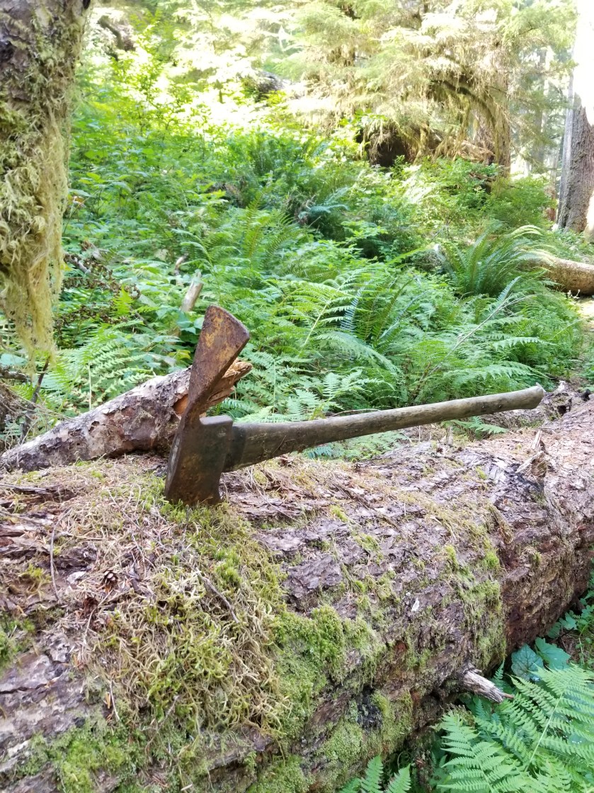
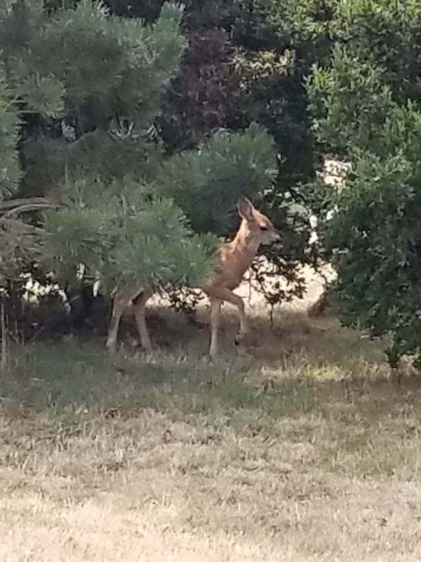
There was one truly remarkable exhibit. An albino woodland caribou. Native Americans killed it in the late 1800s and a local saloon owner obtained it and made it his mascot.

At last, I returned to the front. I said “I am not an English teacher, but I cannot find an answer to why Bonners Ferry doesn’t have an apostrophe?” He sighed, looked down at the old newspaper and said “For a long time we tried to correct it, but it just became customary to use Bonners.”

I grumbled my way back to the motel. Letting the matter go was cathartic. After all, we have a grocery store back home established by Russell Lund and it is not called Lund’s, just Lunds. I was hungry and just wished this town had a McDonald’s.

On the walk back I noticed a few pickup trucks with Confederate and US flags flying. The ignorant, hopeful part of me tipped my hat to these scholars who were passionate about state’s rights, but the realistic me accepted I was in the heart of Aryan Nation country.

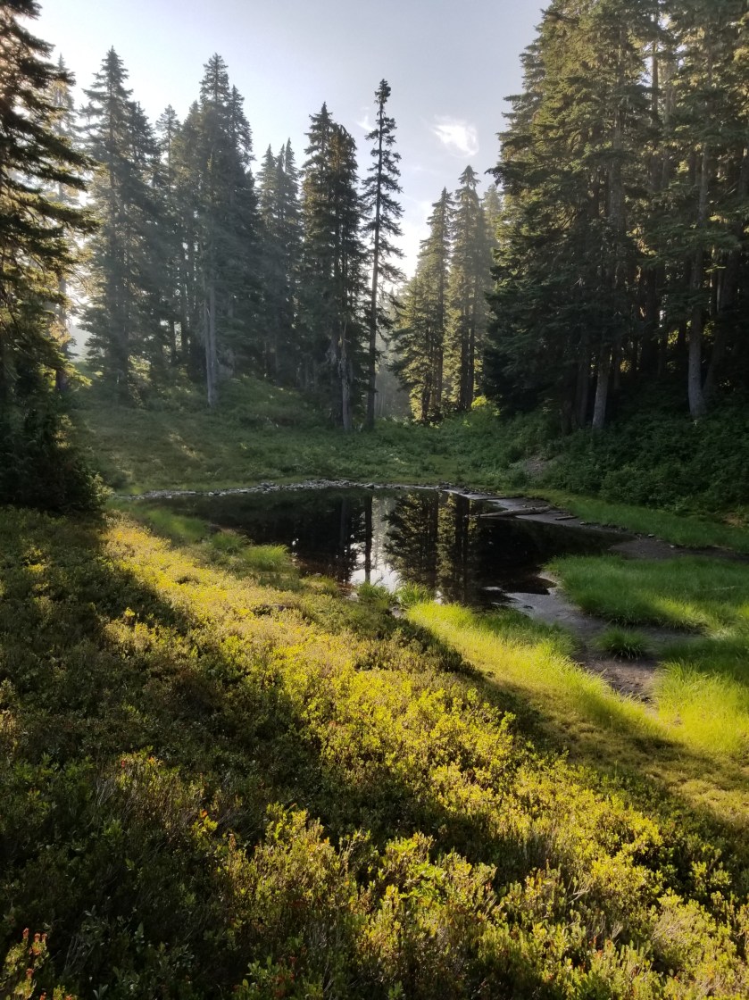
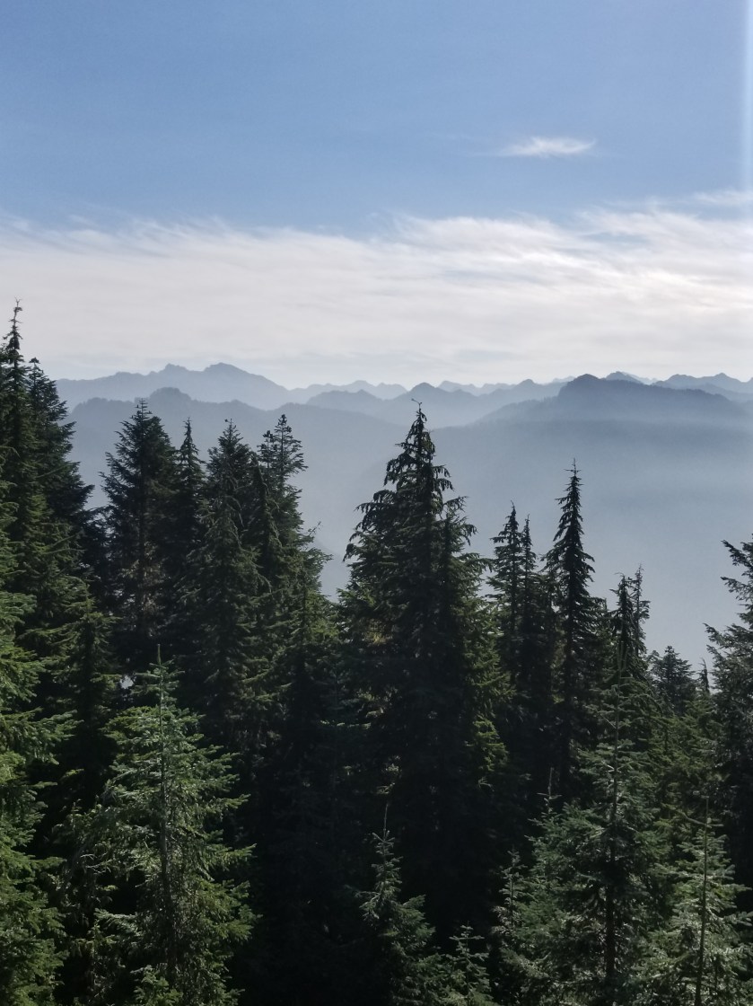
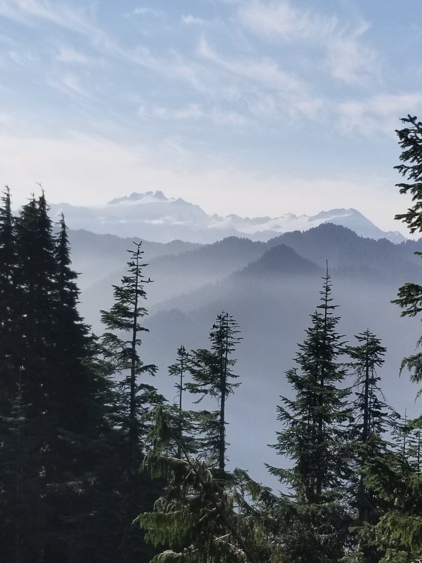
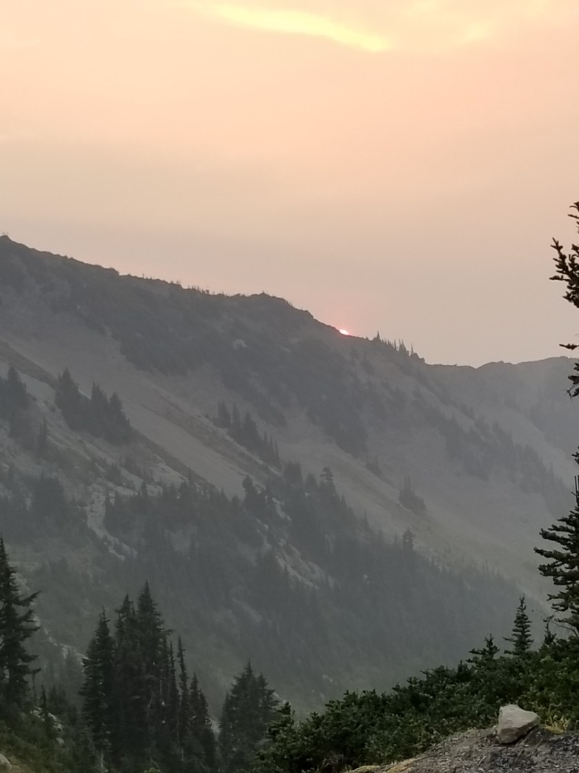
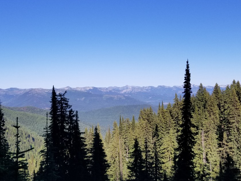
Leaving Bonners Ferry, I was brooding. It is a beautiful town in a sumptuous valley where the untamed Kootenai River created a fertile flood plain. When the river was dammed, the land could be farmed. Mining and lumber come and go. It would be stunning to have a house on one of the local ridges, catching both sunrise and sunset, witnessing the first snowfall on the all-surrounding mountains or the bright yellow canola crops in the summer. However, like many smaller towns, meth is a problem and there is the white supremacists stigma. However, every worker I met from motel owner to the restaurant employees to librarians were all hard working and considerate. Like Montana, people here look you right in the eye. I like that.

In summary, I am glad I spent a whole day in town. A roadtrip here could be in my future. Maybe I’ll get a modified camper van and call it Kevins Van.