High Desert Hiking

August 14th

Like most through hikers in the Great Divide Basin, my approach was like what they used to say about voting in chicago: hike early and hike often.

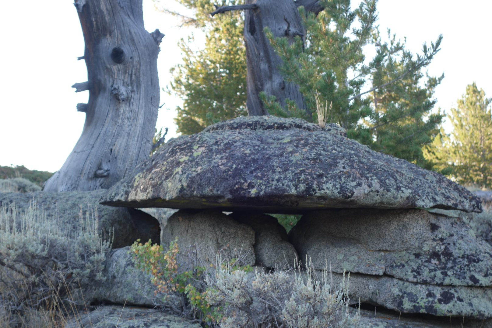
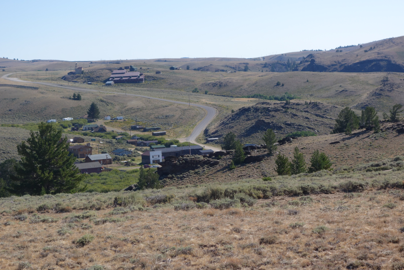
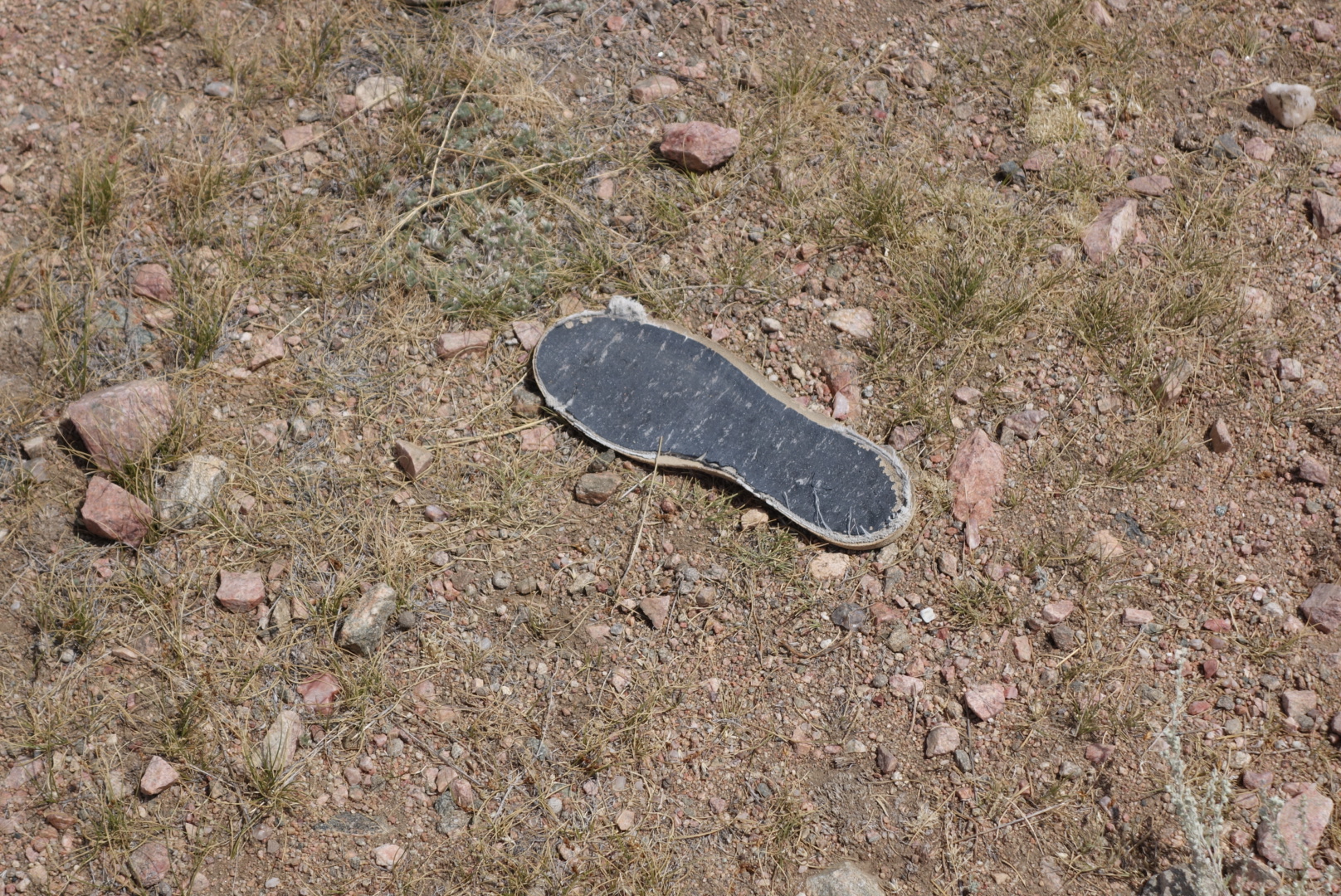
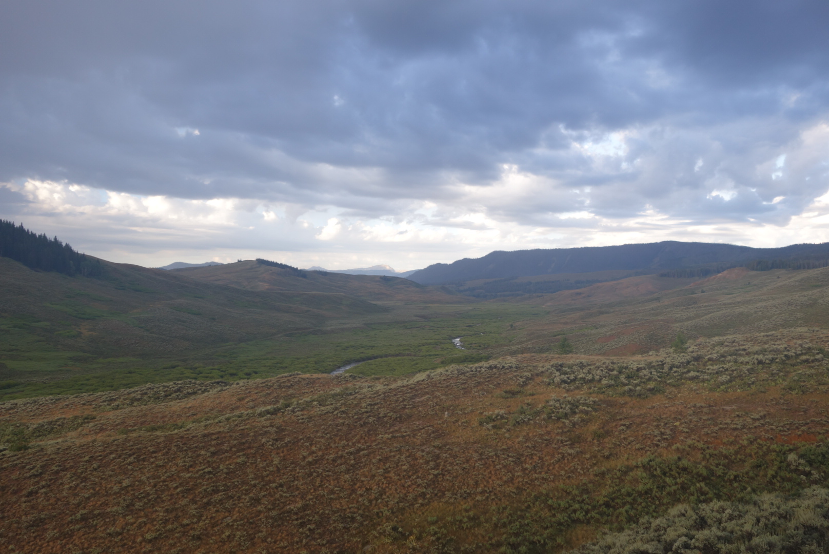
Let’s be honest that there cannot be much material for a blog entry about walking through the basin.  It is mostly road walking.  However, there are a few key points to this day.

First, the trail follows the old Oregon and California Trails to the west.  My ancestors who settled in Oregon may have actually traveled this same path.


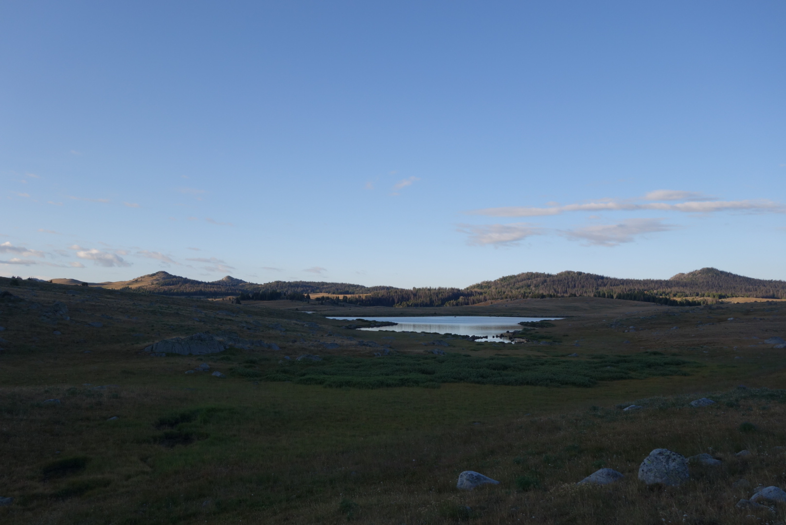
Second, there was actually a new spring right near the road which was not on any map.  The water appeared to be non-alkaline.

Third, I actuially encountered a couple hikers in this sparse land.  The first was at one of the springs.  He was heading northbound, attempting to complete Wyoming.  The other pair I found late in the day at a fairly disgusting cow pond after about  12 waterless miles.  I had seen their footprints and eventuially their figures in the distance, but we appeared to hike about the same rate, so I never caught up with them until very late in the day when they stopped to make dinner.

Fourth, fairly close to the middle of nowhere, a fancy, fenced informational display about the continental Divide Trail has been built.   It is not clear to the novice why they chose this location at the junction of dirt roads Aren’t We Lost and Too Bad the GPS is Out.  Also, I bet every through hiker had the exact same thought I did: maybe some of the scale could’ve been reduced and invested in a well.

After visiting with the couple (Sweet Baby James and Moon Light Lady…I did not probe on the origins), I pushed on, finding a cooler with bottled water.  It was a gift from a local CDT through hiker (“Rainbow” I believe) and so much more pleasant than the filtered cow pond water.  I grabbed a liter.

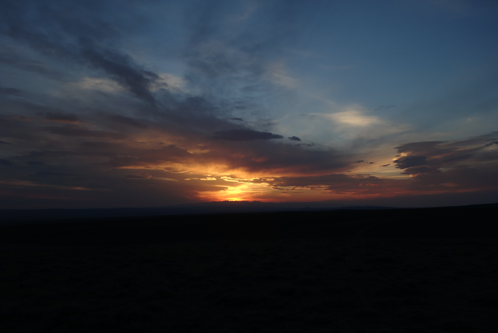
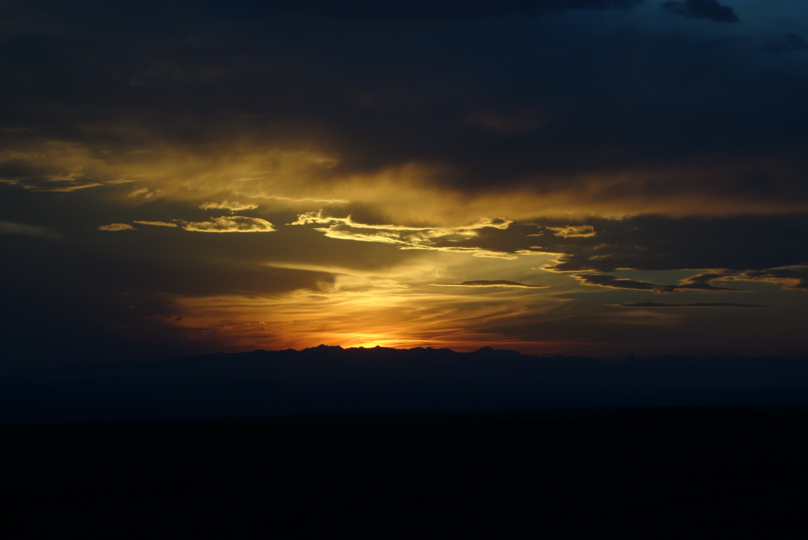
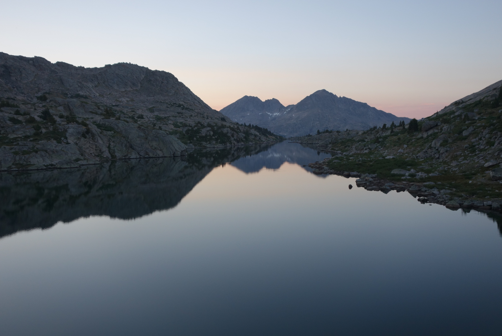
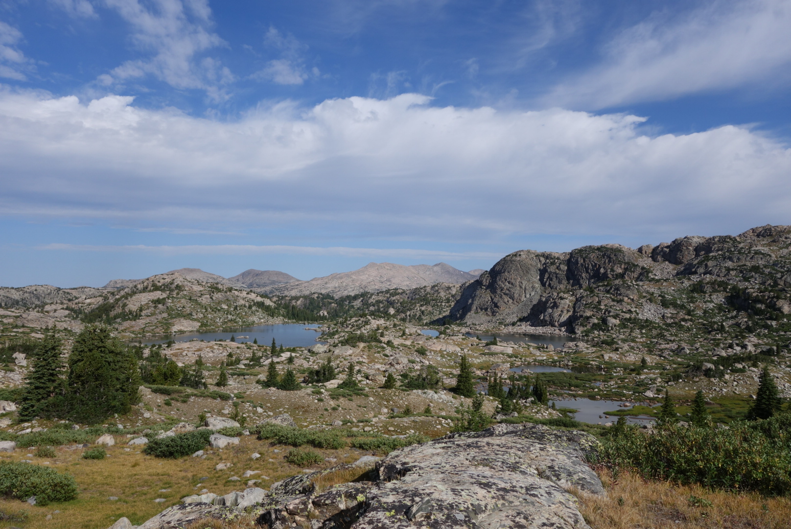
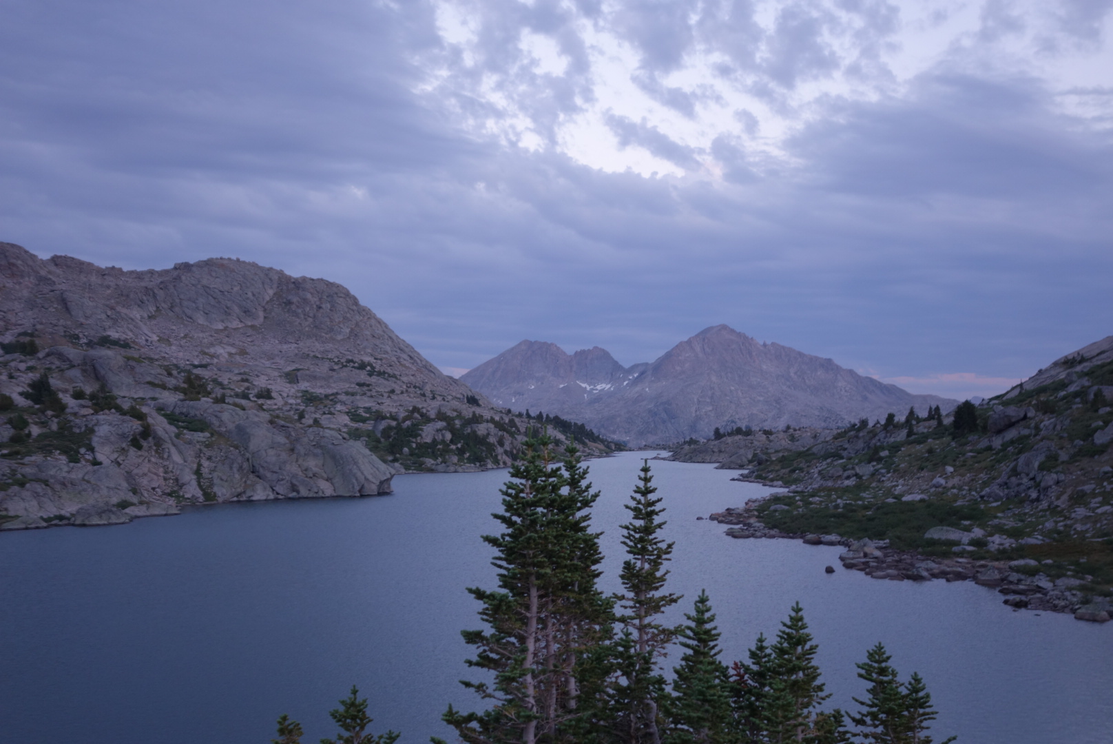
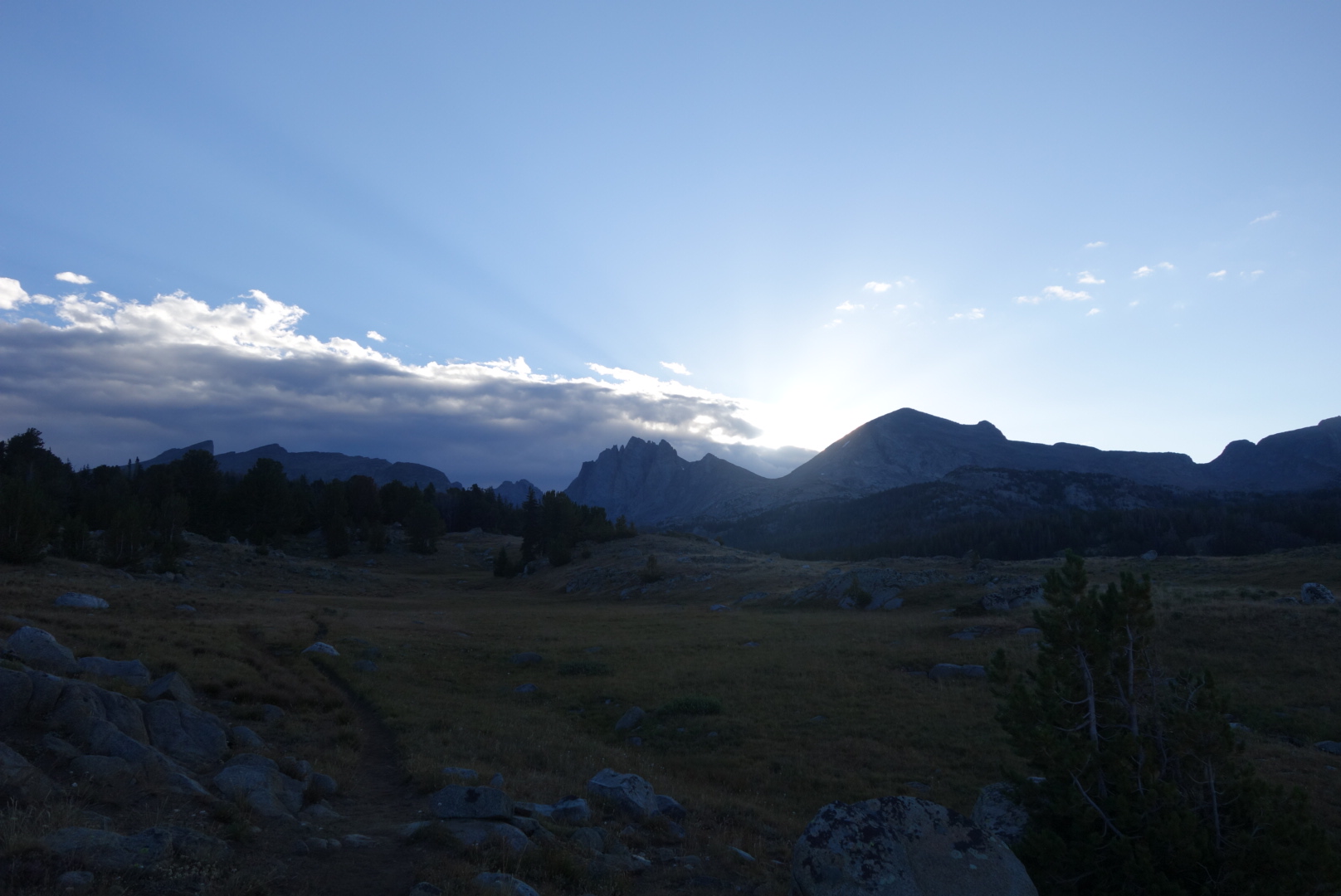
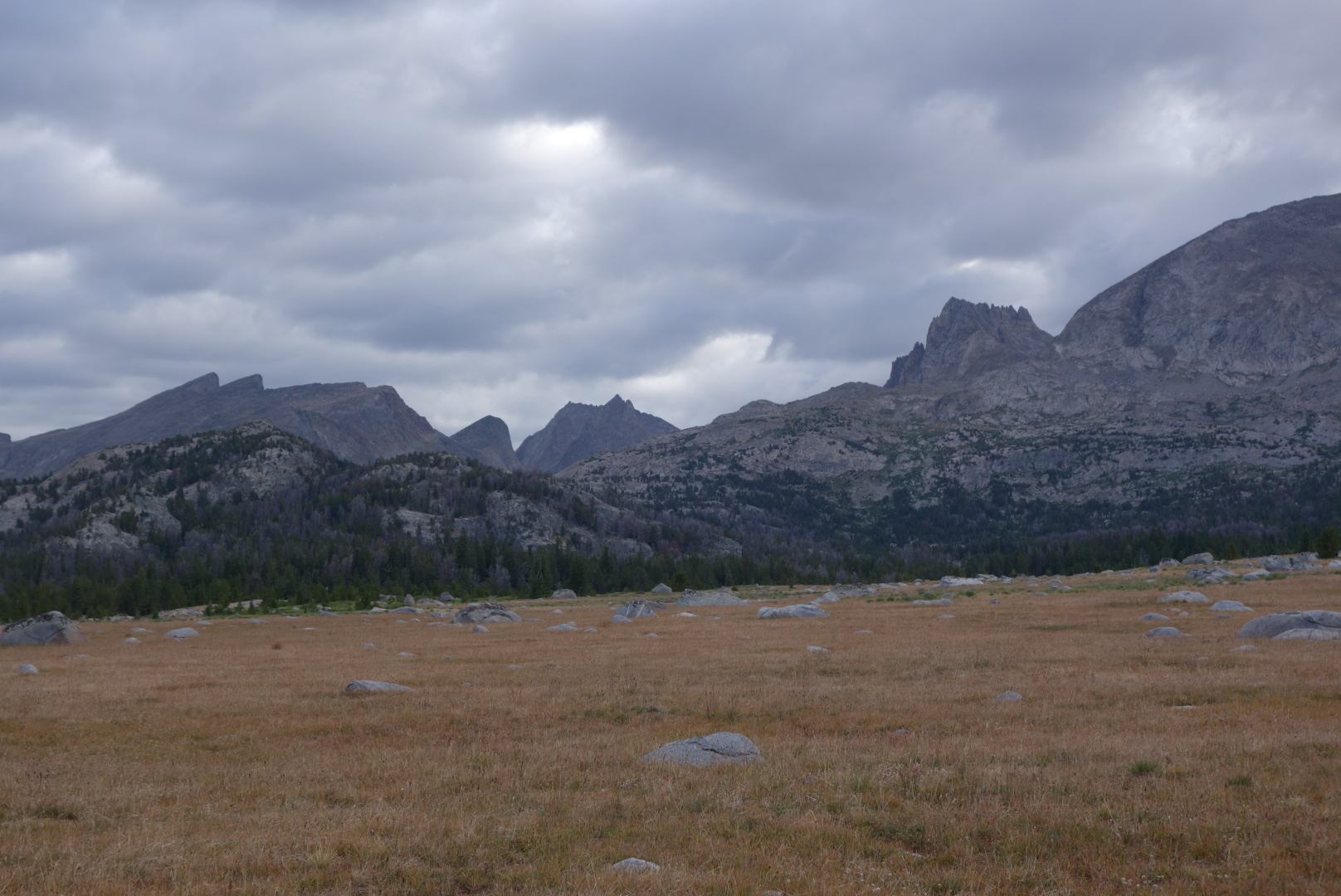
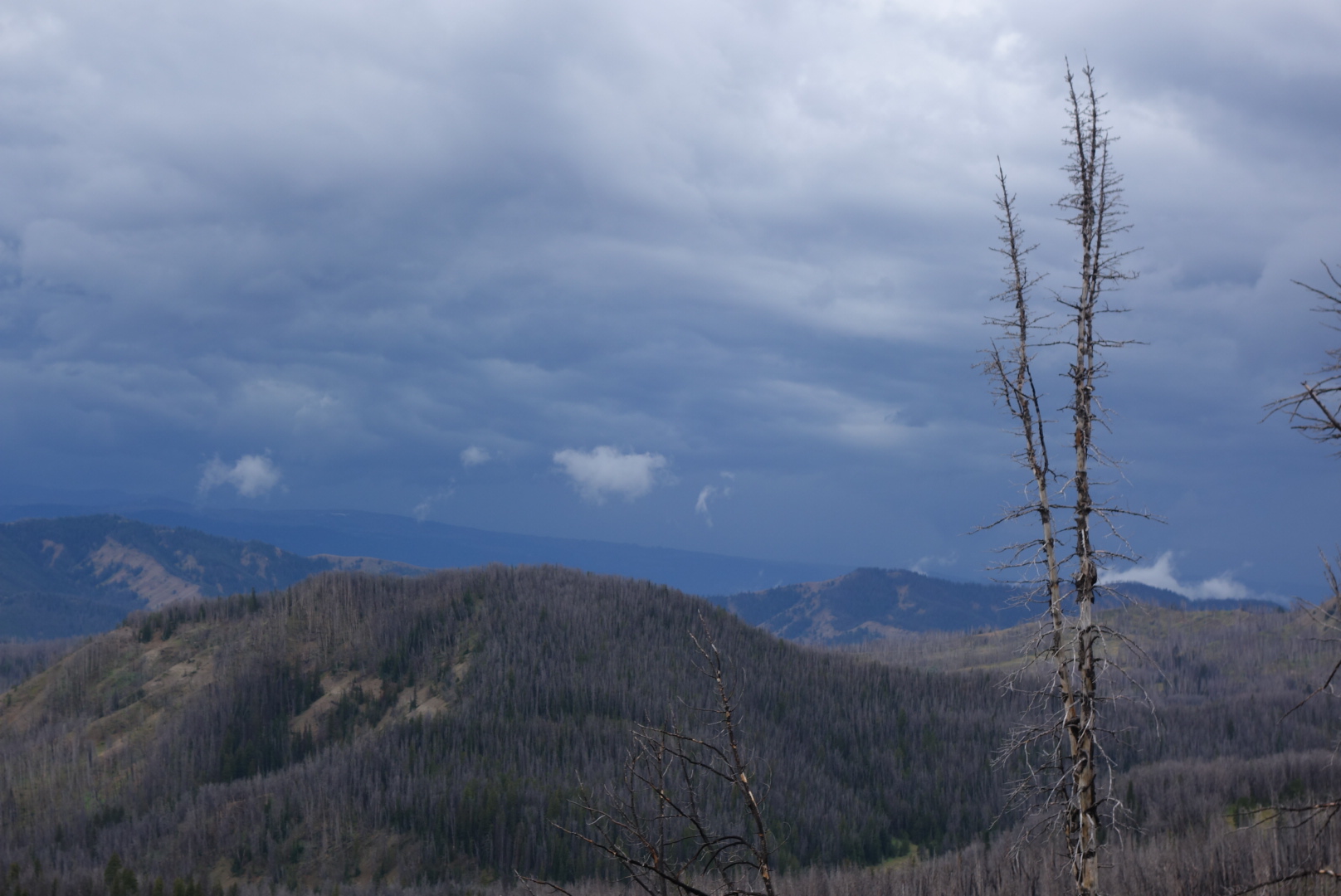
I climbed the mostly barren hills to get a campsite up high so I could see the sunset and the sunrise.  Just before reaching my eventual campsite, I saw two wild horses on a distant ridge.  Able to get some nice sunset photos, I fell asleep among the sagebrush on a hilltop in the Great Divide Basin as coyotes in the distance did thei evening roll call.

dsc05048.jpgdsc05059.jpgdsc05058_1.jpg

dsc05046.jpg
Enter a caption

A Historical Visit

August 13th

I wound further down onto the plains.  My destination was South Pass City.  I had to cross several dirt roads.  Eventually, I came out to the highway (28) where hikers hitch to Lander Wyoming.  Along the way I passed a surprising amount of game and a family that appeared to have simply pulled their camper off the road and set up summer camp.

Another unusual erosion situation

Once past highway 28, the land was mostly flat and sagebrush.  At first the trail followed dirt roads, but then it was designed to go across the terrain, marked every quarter mile or so with a carsonite post with a CDT sticker at the top.  One would think a walk through sagebrush would be easy, but it is not.  Sage brush does not spread symetrically and  unless there is a worn tread, the process is to generally note a path with some gaps between sagebrush plants and then twist through.  There are inevitably a lot of leg scratches in this kind of terrain.

Around noon I dropped down into South Pass City.  It was a historical town I was looking forward to seeing, plus it was a resupply point. It is a town with most of the buildings well preserved.  You get a very good sense what it might’ve been like to live in a mining town on the frontier.  I was struck by two things.  First, people really had hard scrabble lives, having crude selections of foods, information, and people.  Second, to combat this, people seemed to spend their time on diversions such as gambling and alcohol which nowadays have robust help programs.   Incidentally, you can notice where some of the old pine structures were repaired in the recent era.  It is striking how the old logs have no beetle damage, but the new ones are obviously scarred.

South Pass City from above

As a backpacker, South Pass City is also pretty nice.  They hold resupply packages, have free elctricity and water, and will let you camp in a discrete area if you ask.  Unfortunately, a few backpackers have taken to sleeping in their public restroom, so it is not clear how long the welcome mat will be out.  Regardless, the lady in the General Store when I  went through, Sandy, was incredibly helpful.  On a lark, I wondered if she had any duct tape which I could use to tape up my rapidly disintegrating shoes.  She said she did not, but thought the maintenance people would, so she closed shop, found the maintenance crew, secured the duct tape, and let me use as much as I needed.

After spending almost two hours at this site, I headed out towards the Great Divide Basin. To get there I had to climb a last few mountains.  I pulled out my umbrella to reflect the heat as I left the historic site.  There was a tour group concluding and I believe they got a kick out of a through hiker walking past with an umbrella.  Also, it was intersting to note, once I got up on a vantage point, that there are still some some small scale mining operations that appeared to be running.  Hope springs eternal (depending on commodity prices).

At last I was on a peak where I could see the Great Divide Basin spread out in front of me. It is a treeless expanse stretching for over 100 miles each way.  Little known, the ironic fact about this area is that it is an endorheic basin which means that any rainfall goes to neither ocean and stays in the basin itself.  Thus, the Continental Divide Trail spends a considerable amount of time at the ridge line of our continent, but also cuts through one of the largest areas where there is no divide.

My first view out in to the Great Divide Basin

I walked down and in to the Basin.  It was clear and warm with a slight breeze.  I generally try to stay on the official trail.  However, once down in the basin the trail parallels a graded gravel road for 17 miles.  I tried to stay on the trail as it followed a low ridge, but the lack of tread, missing trail signs, and sharp rocks on unraveling shoes prompted me to get over to the gravel road.


Most people driving by were courteous:  they slowed down to reduce dust clouds, waved, and then sped up after they passed widely.  One dude, unfortunately, actually accelerated and stayed close to my side of the road. This one negatve was grossly outweighed by several kindnesses.  For one, a guy with Oklahoma plates drove past, stopped, and then backed up.  He asked me if I’d like some water or ice.  I could not believe the singular contrast of a through hiker in the Great Divide Basin walking along with a liter of ice cubes.  For another, I was talking to a continental divide biker who came along.  I was sitting on the ground.  A car stopped and asked if I needed help.  Again, sometimes when you see fewer people the greater your appreciation for humanity.

I ended up near a bridge that crossed the Sweetwater River.  I had never considered cow dung to be a sweetner, but that appeared to be the principal addition to the River from what I could see.  In the fading desert light, I found a shallow clearing in the sage brush on the opposite side of the fence where the cattle would come at night to congreagate by the River and add their sweetness.  Out here you learn quickly  that cattle love to gather at night and it is a noisy process.


I fell asleep cowboy camping just before the moon rose.  After about an hour, I was jerked awake by a very close sound.  There is no way to tell who was more surprised.  Me, upon seeing a large eared jack rabbit looking at me from about 8 feet away or, the jack rabbit seeing a large blue sleeping bag suddenly rise at one end with a scruffy face peering out of the end.  We left it as a tie and I went back to sleep as the cattle sorted things out in the distance.

A trail monument identifying where the Pony Express crossed the current trail

Basin Busting

August 14th

I was, like most backpackers in the badin, determined to up my miles.

The trail passes historical markers identifying where the Oregon  and California trails overlapped the CDT.  Some of my early Oregon ancestors may have traveled this same route decades ago.

Later on, I met a section hiker at a spring. He was trying to complete Wyoming.   Later in the day, I steadily followed a pair of footprints.   Around 7:00 I eventually came across Sweet Baby James and Moonlight Light Lady  (SBJ &MLL) at a nasty cow pond.

I climbed up until I reached a peak where I could see the sunset.   Along the way I saw a pair of wild horses across a canyon.  I did capture some sunset photos and fell asleep to the subtle sounds of the basin at night. 

I can only guess that old Lefty walked through herem
Somebody left their sole on the trail.
First Sobo cactus

Breaking out of the Winds

August 12th 

As I was descending in the morning the catitle were moving from their sleeping areas to their grazing grounds. I always try to let them know I am near, but try to hold still so they don’t stampede. 

One group was quite alarmed. They made a noisy, crunchy run. After they were done, I met some Nobos breaking camp.  I think the cattle probably sped up their morning. It must be disconcerting to be in a tent and hear a herd of cattle stampeding near you.

Cairn making gone wild.

After a vigorous morning climb,  it was mostly downhill. I went from high forest to a mix of sagebrush and clumps of forest. Luckily, I was able to follow Qtip’s footprints most of the way.  As I descended the temperature increased. I did manage to surprise some elk.

Two elk watching from the trees

Later in the day I got close to a moose. It was in a forest fringed meadow surrounded by sagebrush. I entered a short s-curve and where it turned again I saw a large rump and my first thought was that somebody left their horse their. However, I realized  it was a moose so I got my camera out to video.  It heard me and ran about 30 feet up the meadow. It was a bull.  I was talking to it while filming.  But I swear I could see it doing “moose math” in its head: “I am 4 times the size of him, I have antlers, and he has a backpack weighing him down…”

He turned to face me.  I immediately turned off the camera.  Still talking, I made an exit up the trail, nervous that he might follow.

I hiked until dusk.  I cowboy camped and was treated to the perseid meteor shower.

Day 2 in the Wind River Range.

August 10th

When I woke up I hoped to catch up to Qtip.  I suspected he was going to be hard to catch, but it is good to have goals.

Since my trail was mostly flat, I cruised quickly through the alpine terrain.  I was warmed inside and out by the rising sun.  I quickly dispensed with the down puffy and the wind shirt.

Surprisingly, I did find Qtip.  He had wiped out on Knapsack Col and had some nasty scrapes.  I gave him the prescription antibiotic gel I received in Helena.  We started hiking together.  But, regardless of injuries, he was still stronger on the hills and soon disappeared.

It was ok hiking.  Alternating between austere terrain and forest.  Definitely some nice trout fishing up here.

Late in the day, I met a trail crew.  It was just two young ladies.  I felt bad for them. The trail was just rocks and sand.  No matter what they did, one winter would wreck the trail.  This is the type of trail where boots are superior to trail runners.  Its rough rocks that range in size from billiard balls and bowling balls.

Met another grumpy northbounder.

Just towards sunset I reached my goal lake: Sandpoint Lake.  There was a fairly casual sign posted stating there was a fire in the NE corner surrounding the lake and people should be cautious.  At first I thought that was a little lackadaisical.  However, when I got to the lake, I saw where the fire had been and it was not a big deal.

I set up camp in the waning light.  There was a canvas tent with some horse campers and another campsite across the lake with a family..  Once the final mountain winds blew out, it was a quiet night.

A pika
More weird rock erosion; this time the top is eroding slower than the support

Beauty and the Bonk

August 9th


Right away in the morning I met Qtip.  We descended to the Green River and then headed upstream.  The day would be easy ascent up along the River, then sharp, steep climbs the rest of the day.

The hike was beautiful.  Immediately, there are the two big Green River Lakes.  Then, Square Top Mountain appears.  It is a textbook example of a monolith:  a block of stone rising almost vertically with what appears to be a flat top.  Later on, the trail follows the Green River which is colored by all the sediment.

There were a large number of backpackers and horse riders on the trail.  At one point, there was a mini traffic jam.  Most were weekend visitors.

Around mid-day, the climbing began.  Qtip planned on taking an alternate that goes over a geological feature called Knapsack Col. Many CDT hikers do that. A col is a steep pass between two mountain peaks.  I chose to skip this.  To me, a steep climb up a boulder field to reach a place with not much of a view only to climb down the equally steep other side held little interest.

I lost sight of Qtip at the top of the first set of switch backs.  I had a crappy hike when I went from Vista Pass to Cube Rock Pass.  Basically, one climbs up a boulder strewn valley.  At the base of the valley are the biggest boulders.  Allegedly, the trail climbed from the base up to one side and was marked with cairns.  Cairns, as you may recall, are rock piles, sort of land buoys.  This works great in meadows, but, not surprisingly, is less effective among piles of rocks.  After I boulder-hopped and smashed my hands and legs, I eventually found the “trail” and made it.

You can see the trail just vanish the minute it heads up the valley

I got a little twisted around at the top but eventually sorted everything out.  I needed to climb Shannon Pass to get to my destination.  I was tired, bruised, and not loving the altitude. I kind of bonked, or hit a wall.  After taking a late day snack break, I recharged and tackled Shannon Pass.  I have a niece named Shannon and vowed to not hold my dislike of this pass against her.

View back from Shannon Pass

To help visualize, this terrain is all above treeline.  It is craggy grey rocks jutting up, some small shrubs, and many lake fed by ice melt.  It is austere.   If you have been in the high Sierras you have a closr approximation. 

One of the oddities is the differing rates of erosion. Lots of boulders resting on top of ridges.

I eventually came to a nice campsite on a ridge overlooking Upper Jean Lake. The clouds were interesting; they left the mountains around sunset, but consolidated above when it was dark.  Even got a mild sprinkle overnight. 


Sunset over the lake

No People, the Washed Masses, No People 

August 11th

I started cruising early.  I was startled to see a large animal, but quickly realized it was a horse and then I saw the owner.  He was an outfitter and one of his horses was injured.  He was struggling with how to handle his customers and an animal needing veterinary care.  I think he was going to be ok.

More of the same terrain: nice streams and lakes with rising trout and then some steep hills. I would love to come back to fly fish someday.

Looking up to the Wind River Range

At Dad’s Lake ran into a couple groups in rapid succession. The first group looked like a boy scout group.  The second seemed more like a family.

A little later, the flood gates opened.  I kept encountering groups of hikers.  I guessed I was near a trail head.  To give you a sense of how long I’ve been out, I could almost always smell them; they smelled like soap and deoderant and shampoo.  Ok, I guess, if you are in to that kind of stuff.  I’m sure they had ripe words to describe my “essence.”

My favorite moment was when there was a guy approaching me from across a field. Usually, the minimum protocol involved in the backwoods is to at least say “howdy” and move on.  This guy avoided eye contact and did not respond to my greeting.  Geez.  It’s not like we were in Manhattan.

I moved past the main trailhead and the people stopped.  I was on the official trail.  Most CDT hikers take an alternate to the Cirque de Towers.  It is a high bowl surrounded by sharp peaks.  Some people consider it spectacular. By the lack of tread and foot prints, I could tell I made a minority decision by not goingto the Cirque.  At first, there were periodic CDT signs.  Later, the signs stopped and the trail started looking like a game trail.  There were sections where cattle were allowed to roam.  My Ley maps were not helpful.  I finally used my Earthmate phone application and it showed me I was on trail.  I camped at the very peak of a hill.  I was able to eat my dinner and look out over the valley below.  A storm was unfolding about 10 miles away and it was cool to watch the rain and lightening roll past.


It was another super quiet forest but after some time I was able to ignore the silence and fall asleep.


Differing erosion rates create these unusual rock formations

Fire Re-route

August 6th

Being a light sleeper, I heard Qtip moving around so I got going in the dark.  It is easier than you might think to break camp and hike with just headlamps.  We only needed the headlamps for the first mile.

When I hike with Qtip, I like to let him lead, not just for his spider web catching abilities (for which I am thankful), but he is a good pathfinder.  He doesn’t look at his phone every three minutes to find the route, rather, he has good instincts.

Just before dawn, we came to a clearing and up about 40 feet ahead were two huge bull elk on the trail.  I whispered to Qtip to stop, but the elk also heard me.  We only got a few seconds glimpse before they were gone.

The area around Brooks Lake is notorious for being bear country.  Backpackers think of the National Parks as the two locations for bears.  However, the literacy rate among bears is terrible and they leave the Park boundary all the time.  On our way to Brooks Lake there were many signs, but no sightings.

The valley where Brooks Lake is located is beautful.  Sharp, striking moutains rising on both sides. A beautiful valley of meadows and lakes.  Honestly, it was more attractive than many of the more famous places on the trail.


I picked up my resupply at Brooks Lake Lodge.  The staff there were all very friendly and helpful.  The kitchen staff even offered some extra cinnamon rolls they had leftover.  I tried to charge my battery as much as possible.  I was down pretty low on all my electronics and it would be another 7 days before I could get charged again.

Hiking out after a resupply is tough.  I basically have about 2.5 pounds of food for every day. So, a 7 day resupply is over 15 pounds.  With a busted backpack, this made for some tough going early on.

There was a fire burning near the official trail.  A re-route had been devised.  However, getting information on the new route was difficult.  Northbounders had different descriptions.  However, what eventually made sense was to simply follow the Ley map red route.

I walked along the forest service road from the Lodge.  There were plenty of springs along the way.   Next, I walked along the freeway for a mile, and finally I left the highway at Togwotee Pass.  At the high altitude, the terrain alternated between open grass, clumps of trees, and, where there was water, small alders and willows.

I was pleasantly surprised at how often there were springs, initially.  After a few miles of walking on forest road (ATV, really),  I realized I had walked past my junctions where I was supposed to turn on an “old jeep trail”.  I turned around and was surprised to see the footprints of the fast four.  I hoped I could catch up with them.

The “old jeep trail” was totally nonexistent.  It was late and I was grumpy.  But, as I’ve learned, my attitude about the trail has absolutely no influence on the trail.  So, I just bushwhacked to where I thought the trail should be.  Eventually, I found it.  Later, I met a couple who were northbound and they had similar issues coming from the other direction.

I spent the afternoon hiking through burned out forest, clumps of untouched trees, and some open meadows.  The trail eventually followed an abandoned road.  All afternoon, clouds had been building, so I planned to get to water and then a place away from potential storms.

As I dropped out of the forest to Fish Creek, the trees got sparse.  It was open sage country for the most part.  I walked past a canvas tent with 2 horses corralled outside.  Later, as I was scurrying to find a campsite, I met the people who had the canvas tent.  It was a man and his son.  They were in a red steel wagon and they were being pulled by two beautiful horses.  After the usual chit-chat about the trail and what they were doing, he informed me the horses were from Central Park.  They had been used to draw carriages around the NYC park, were auctioned off, and ended up in the middle of nowhere.

Eventually, I found a clump of trees on the side of a ridge with a flat spot.  I got my tent up as the main storm blew through.  It did not rain after that so I had a great night’s sleep.

A Weather-driven Day

August 7th

The day broke clear and dry.  I cruised initially.  However, once I went up one of the less used valleys to follow a creek, the trail got muddled.  The tread was just a notch better than a game trail.  I got soaked pretty good from the previous night’s rainfall that came off the grass and shrubs.

I eventually made it to Sheridan Pass.  That is the location where the re-route ended, so I was back on the official route.  Yeah! Right nearby s bear had dug up some large rocks looking for varmints to eat. 

A bear had dug up these rocks looking for varmints.

Unfortunately, the weather turned unpleasant.  It was mostly just rain, but batches of lightning and thunder would come along.  Of course, this was just as I was walking along a ridge line.  I know lightning is dangerous, but when it is far away, I’ll keep hiking in the rain.  I carry a lightweight umbrella and it was a stellar performer.

What’s coming my way…

No smile.

While the umbrella protects my head, upper torso , and pack, it doesn’t do much for legs and feet.  My rain pants work great.  However, my shoes, were not doing so well.  I could tell that they were going to come apart soon.  I tried to get internet access to order some on line, but no luck.  Fortunately, I was able to reach Helen who ordered a replacement pair even though she was traveling.

After one hellish hail / lightening / rain outburst, it cleared for a while.  I passed another hiker who had pitched her tent to wait out the storm.  She was outside trying to decide if she should stay or go.  Above us it was clear blue, but over towards the Wind River Range, a monster thunderhead was developing.

I eventually made it to my goal.  It was Bull Moose Creek.  I was intrigued with the forest.  It had either burned or been logged about 30 years ago.  However, this was the first replacement forest I had noticed which was symmetrical.  That is, the trees were spaced evenly apart and in rows.  It took some getting used to having the trees move by in what appeared to be rows.  It made me curios to know whether this method was more effecient than natural re-population.

It was getting towards natural sunset, but the thunderhead was definitely headed my way.  I hurried to get my tent pitched, although there were not too many good spots. Just after I got it all secured, the skies opened up.  I ate a cold, rehydrated meal in my tent.  Due to its possibility of attracting bears, food in my tent is a no-no, but I didn’t have much of a choice.

This reached me at dusk.


After the storm passed through, the moon came out.  Also, the elk came out in a nearby meadow.  The bulls were practicing their bugles.  I can’t decide which way to best describe these early season efforts.  My first thought was humpback whales, but as the youngsters tried to copy the elders, it struck me as the Vienna Boys choir going through puberty.

Eventually got used to the sounds of the elk and the rain drops falling from the trees onto my tent.


Buffalo River

August 5th

Qtip caught me fairly early.  Lucky was not with him, but we hoped he would catch up.

We were in heavily used horse country in the morning. Forested hills, open valleys and creeks in the middle.  It was great hiking. One horse riding couple gave me 2 oranges.  Fresh fruit tastes so good on the trail.


Around 11:30 I encountered another horse group.  There were two men, a woman, and a younger rider.  They had a small dog leading them.  Apparently the dog’s name was Grizzly. The lead rider said “Stop, Grizzly, stop” when the dog saw me and started barking.  The lead rider asked if I was hiking the trail, I said yes, and he said “You’re f**king nuts, man!”  He asked some questions and then went on.  Both he and the other man were riding their horses with ice cold beers in hand.

Around midday we broke off the horse route. We went through a burn area and the heat with no shade made things tougher for me.  We crossed into some non burn area. I had Qtip stop so he could see that a medium sized bear had been using the trail before him.  Later, there was some very fresh scat.

We had one final climb as it was getting dark.  We climbed Cub Pass and scrounged up campsites.  Qtip was going to get up early to get to town (Dubois). I offered to join him.  Partly I was motivated to get to my resupply at Brooks Lodge, but I was also thinking 2 pre-dawn hikers in bear country made sense.

Rubbing marks. Either elk or deer were using this tree to rub their antlers. It both marks territory and peels off the velvet covering.