High Altitude 

August 23rd

 I got going early in the dark.  All the underbrush was wet, ensuring my shoes had no chance to dry out.  I ascended past a few sleeping campers, careful not to shine my headlamp on them.

I woke up three bull elk.  These ones had lost their velvet and were developing the fall colors. They sprinted a short distance uphill and turned to watch me squish on by. 

As the day got lighter, I reached a plateau.  It had a few clumps of spruce and pine, but was mostly dried grass.   The trail led over to  a large peak.  As I made my way,  I ran across a group of male mule deer.  There were probably a dozen.  I guess they all gather up high to sort out who is who.
I came to the base of Lost Ranger  Peak, 11,900′ above sea level.  It was already cold but now it got windy.  Within 10 minutes of climbing, i stoppef and put on all my down vlothing: beanie, jacket, mittens.  Layered up, I progressed slowly up the treeless, blustery slope.  It got to the point whete i would count 50 steps andvrest for 20 seconds.

Once at the top, the views of the Colorado mountains was fantastic.  For the next several miles I went  up  and down with great views of the lakes below.  I met a few weekend hikers along the way.

View from Lost Ranger

A bumble bee jumped into the lower flower as I was taking this shot.

Later, I descended 2,000 feet down to the Elk River. Of course, then I climbed to get it all back.  Late in the day, I met a guy with Louisiana plates.  He had all kinds of questions about the CDT. He was a personal injury and divorce attorney . He gave me his business card, oddly.


I climbed out of Buffalo Pass and went by a major set of communication towers. When you have been so out of touch, full bars and rapid Internet are like candy.

I ended the day trudginger through an eerie forest.  A lot of pine trees were either standing up or laying down dead.  The skies were darkening.  I finally turned off at Round Lake.  I set up camp and had just boiled water for dinner when it rained heavily.  I fell asleep as the rain tapered off.

Colorado!

August 21st

(No phototos. Sorry)

Woke from cowboy camp I had made just after Fraser Peak.  My right shoulder was sore from a spectacular wipe out I had late yesterday. 

Some of the smoke from the fires had settled in the valleys.   The rising sun gave the smoke some interesting colors. 

Smoke in the valleys


More ATV trails up high. Some backpackers look down on off road vehicles. Initially, I confess, I was one of them.

It is easy to find fault.  One interesting family yesterday consisted of mother, father, son, and daughter. The parents led in a side-by-side. If they were flying,  they both would’ve asked for seat belt extensions.  Indeed, I wondered if they had something like a cat’s whiskers which would warn them off paths too narrow where their overhang might snag. The acorns didn’t fall far from the tree, presumably with a thud.

Their vehicle was balanced with a huge cooler strapped to the back. Why that much beverage capacity was needed by a family of four is unfathomable. 

Daughter was next in one of those golf cart vehicles with 4 wheel drive.  Last was son on an ATV drinking a beer. None were wearing helmets. 

At first, it was hard for me to grasp the attraction. I pictured a family skipping the 401 (k)s and 529 plans, instead buying vehicles and the means to transport them. In the woods, it seems unlikely they see or hear much wildlife as their uncovered combustion engines power them along.   I suppose any wildlife they do see must be so deaf or maimed that it would be frightening. 

However, on further reflection, there were some good things. First, they were a family doing an activity together. Second, they were out in nature, not in a mall or separately watching programs on little screens. Lastly, when they got back to their camp, they would undoubtedly enjoy the quiet (before they fired up the generator and satellite link).   So, if Congress ever decides to do something crazy with our national forests  (give to Chinese in exchange for debt forgiveness), these people and I will be side-by-side saying no.
As I descended, I came to a large sheep operation. They had fouled the water and I was terribly thirsty. I hiked on, making a mental note to eat lamb chops once off trail.  

As the day was ending, I was hungry, tired, and thirsty.   I kept going because I wanted to reach Colorado (and the purported spring nearby).

Finally, I came to the border.  Wyoming takes the time to actually announce their state line.  Colorado is silent.  I tanked up on cold, filtered spring water and went off to find a campsite after 26 miles backpacking over the hills. 


Made it to Colorado

The Ups and Downs; Bearanoid 

August 22nd

The day started clear, but soon grew overcast. During the night a persistent mouse had tried to get in to my tent.  I still hang my food far away, so I am not sure what it wanted.  I was tempted to give it a blast of the bear spray I keep in the tent.  Even though Colorado is not known as bear country, I still take precautions.   I call it being bearanoid.

The morning hike was on broad ridgelines.  There was 2 track road down the middle with trees generally cleared out 15 feet on each side. I startled a huge bull elk with a tremendous set of antlers. He couldn’t pinpoint where I was and he moved towards the road. I quietly unzipped my camera pocket.  He was about to step on to the road about 20 feet away, but he heard the snaps on my camera case as I opened it and ran off.  Ten minutes later, I roused a mule deer buck with nice antlers. If I was a hunter, this would be my spot. 
While it was a great morning for hiking, all good things must end. I had two descents to valleys. The first was a broad meadow with a meandering creek I followed for a few miles.  The second descent was steep and rocky and slow.
At the bottom of this second valley there was a sign saying the bridge was out and I needed to take a road detour for a bridge further down.   This seemed insane given the size of the river, so I decided to go ahead.  Sure enough, with some ingenuity and luck I was able to cross the river and stay dry.

My trail followed the river down to a campground.  I crossed another, bigger river  (on a bridge) and climbed a steep hill as thunderheads formed. I climbed still further along a gravel road.  The skies let loose. I opened my umbrella and cruised along, waving to the car campers I passed.

The thunderstorm cleared just as I came to the entrance to the Zirkle Wilderness. Oddly,  some creature had been steadily gnawing away at the sign.  I registered and went past the entrance. I stopped  and wondered why I was leaving the relative safety of the “real” world and entering a wer, dark wilderness. 
I climbed steadily as the light faded.  The spot that looked nice and level on the map turned out to be burned, with lots of dead trees standing,  just waiting for the right breeze to bring them down.  A couple years ago a Pacific Crest Trail hiker was crushed to death by a tree that fell.  I moved on.
Eventually,  I found a semi-level spot where I could squeeze in my tent.  I ate a cold-soaked meal and enjoyed it. I had to.  My feet were soaked and I gladly climbed in to my dry sleeping bag deep in the dark, damp wilderness.

What’s eating the Zirkel Wilderness sign?
View from ridge after Lost Ranger

On the Trail Again 

August 26th 

The cab was a great idea. He was there before 6:00 waiting for me.  I grabbed 2 apples from the continental breakfast being set up and we left.

It was a long, cold walk along a two lane highway.  Until the sun rose, it was quite cold.  

Colorado is hard to understand in terms of driver relations.  In Wyoming, you simply wave to everyone.   Here, it’s not so clear.  Some people  glare if you wave, others wave back. 

As the day warmed, I took out my sub sandwich. It is weird to walk along a highway and eat a sub.  The best part, however,  came with the flaming hot cheetos.  I opened the bag, unzipped my wind shirt, and tucked the bag inside, held snug by backpack straps.  I could walk down the highway, reach inside and pull out a handful of cheetos.  Who needs cars and cupholders?

After about 9 miles on the paved highway, I took a forest service road that rose past cattle up in to the forest. 

I got to do some ridge walking in the Rabbit Ears Range before dropping down to camp at Arapaho Creek. 

The patterns on uprooted stumps can be mesmerizing (or not)
The day ended with a nice sunset.
Snake on the gravel road
A 20 minute snow / rain storm in the afternoon.

Out of the Basin and in to the Woods

August 20th

Today was going to be big.  I’d leave the Basin and resume walking along the high points of the Continental Divide.

First, I had a cold, steep climb up from Fish Creek.  Then after crossing “Truckdrivers Creek” I did turn and get back in to forest.

I could feel the climbing muscles get to work.  Mostly, the trail was well markd, but there were a few patches with blowdowns where creativity was important.

At the top of one peak, I came across a sobering sight.  Someone had placed an etched stone memorializing a loved one who lived from 1962 to 2010.  A modest, understated monument to someone who died at 48 years.  It was touching to me because that was the year I was born and 2010 could’ve been the year I died if I had not changed several things in my life (work, smoking, not exercising, etc.)  I concluded that I was thankful I did make those changes and had a family that supported me.  Tio be able to hike the CDT and ponder what might have been was sobering but also made me grateful.

The Capital D

August 19th

Leaving Rawlins, a CDT hiker is confronted with a choice.  There is a road (10 miles paved, 30 miles gravel) that is straight.  From it, the official CDT breaks off after 3 miles and then does a 45 mile arc to then return to the road at mile 30 or so.  Another way to describe it is a giant capital letter D, with the road being the straight part and the trail the curve.  While I generally prefer trail over road, the additional miles of alkaline sage brush in waterless terrain was not interesting at all.

So, at 5:15 am I left my cozy motel with 7 days worth of food, 5 liters of water, new shoes, and a new balanced backpack. It was heavy, but I churned up the road.

There were few listed water sources, so the extra water was needed.  The road was lightly travelled so it was not too bad.  Basically, a buried aqueduct parallels the road.  The only other point of visual interest to me was that some type of air inversion was happening.  When I left Rawlins, it was foggy.  As I crested the pass leaving Rawlins, it cleared.  Later as I looked backwards, the cloud bank was making its way to the bluffs and alternately shrouding their tops or eerily sliding down the sides.


I did have a slight ethical challenge along the way.  At one point the aqueduct crossed a silty, alkaline stream.  However,a valve was broken.  Thus cold, clean water was leaking out and then in to the stream.  I would put the rate at about a gallon a minute. There were some small cairns nearby so I could tell this was a known water source. On the other hand, the owners of the aqueduct were clearly losing their product and did not know it.  I decided to look for contact information for the aqueduct owners.  However, the only thing I could find along the way was a number to call before digging.  Since I got no signal I failed to do anything.  Not sure if I will burn in hell for this one, but time will tell.

The only other thing to report was a preponderance of vehicles on the gravel road towing off road vehicles.  It is curious to me the range and popularoty of this recreational activity.  Some pickups will have a single ATV in the back.  Others will tow a trailer that has two side-by-sides in it, one a four seater and another a two-seater.

As the sun was going down I found a campsite away from the road and close to a creek that appeared to have a low TPG rating (turd per gallon).  The wind really picked up so I was in for a little bit of a noisy night’s sleep.

Rawlins

August 18th

Rawlins is the kind of town where if you asked a resident how they came to live there, you would not be surprised if they answered “My car broke down here, I couldn’t afford repairs, so I stayed.”

My view was slanted a bit because I was in a wedge of town that was placed next to a rail line and between two interstates.   In this oasis were only chain motels, chain restaurants, and, providing critcal mass to these orbiting sites, a Walmart.  As such, my food choices were typical of anywhere, not the unique “taste of Rawlins” I hoped for.  Of all the fast food concepts out there, my favorite is the combination KFC and Taco Bell.  I did not go there, but coming off the trail after dehydrated quinoa and lentils to see that, in one place, I can order a chalupa plus a bucket of extra crispy is startling.

Rawlins is definitely pickup truck country.  A plurality of vehicles were pickups, most with complicated aftermarket additions.  Judging by the signage, oil & gas is a dominant industry out here.  One gets the impression that a career as a CPA or dentist is likely to get you beat up.

All in all, Rawlins rested my body but did not steal my heart.


Rallying for Rawlins

August 17th

If you’ve suffered through some of the previous blog posts, you have a sense that the day of a town stop is exciting.  I got up and moving for the final 8 miles.  With a lighter pack and the anticipation of warm, perhaps fatty food, cooked by someone else as an inducement, I cruised along.

I passed through a few cattle operations.  One was notable because the rancher had one fenced area with numerous cow/calf sets plus a young bull.  He had the shape and equipment of a bull, but not quite the mass of a full grown one.  On the other side of the fence, without cows, was a real bull.  As I walked through the first group. the young guy was making some noise and acting a little protective of the cows.  Certainly nothing intimidating to me.  I went through the gate and saw the big bull.  He was sauntering my direction.  In case you don’t know, I hate bulls.  Anyhow, it soon was clear he wasn’t interested in me, but in the cows and the gate.  I stopped for a moment to watch.  The young bull was clearly talking smack, safe behind the barbed wire fence.  The older bull had some choice resonses.  He started kicking up some dust with his fron hooves and increased the volume and lowered the bass on his comments to the young fella.  Interesting to watch, but I thought I caught a whiff of bacon on the wind and resumed my push to town.

I did get to town early and checked in to my motel.  In fact, their continental breakfast was open for another 15 minutes.  I shamelessly set some informal food eating record in that 15 minutes.  Even more exciting were my packages. It was like Christmas.  I had three packages.  The first was my resupply package.  The second was a new pair of shoes.  Lastly, my replacement backpack was there.

I did the usual town chores and ate and cleared out my old pack.  I had planned a zero here so ther was no pressure and I was glad to be off trail and able to catch some of the Olympics.


Picking up the Pace

August 15th

I was determined to top 30 miles today.  It was actually a pretty good day for hiking in the basin: slight overcast, a little wind, but still nice views.

I may have created some confusion about the landscape.  Let me clarify.  For the most part, the soil is arid and nutrient-poor.  Later on, past Rawlins, it is alkaline.  In short, life is hard here.  While there is some life in the form of insects, horned lizards, rabbits, and antelope, the land is sparse.  However, there are hills and some areas of interest, so it is not entirely flat at this stage.

Human signs are rare.  The wild horses who escaped are one example.  Test diggings from miners are another sign.  Also, there is the ubiquitous herd of cattle left to munch out an existence as best they can.


I leapfrogged with MLL and SBJ at watering holes.  I skipped a cow pond which I regretted (why, after all, am I carrying Propel if not for these situations??). Got water from a slimy creek later, and finally ended with two excellent man made water sources.  In the evening, after achieving 32 miles, I camped at the A&M Reservoir.  This turned out to be a popular destination as there were two separate continental divide bikers and then MBL/SBJ also camped around the man made reservoir.

These guys are hard to photograph
Not a slalom course

Reservoir

A Tale of Two Trails

August 16th

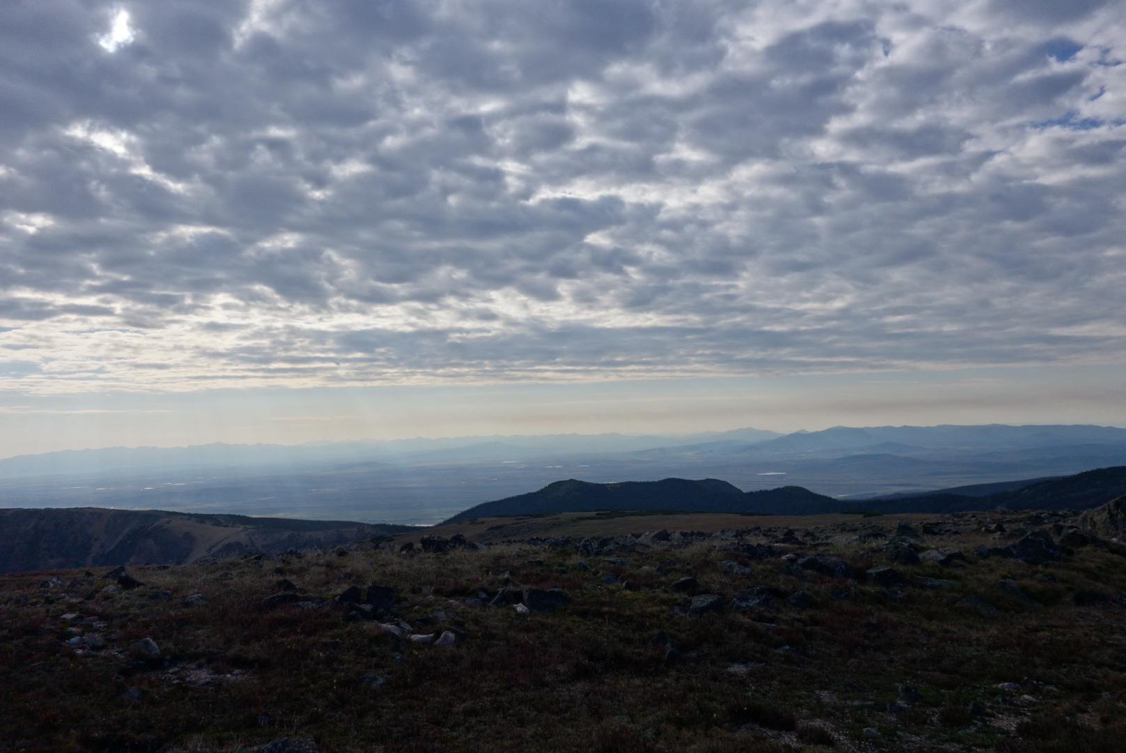
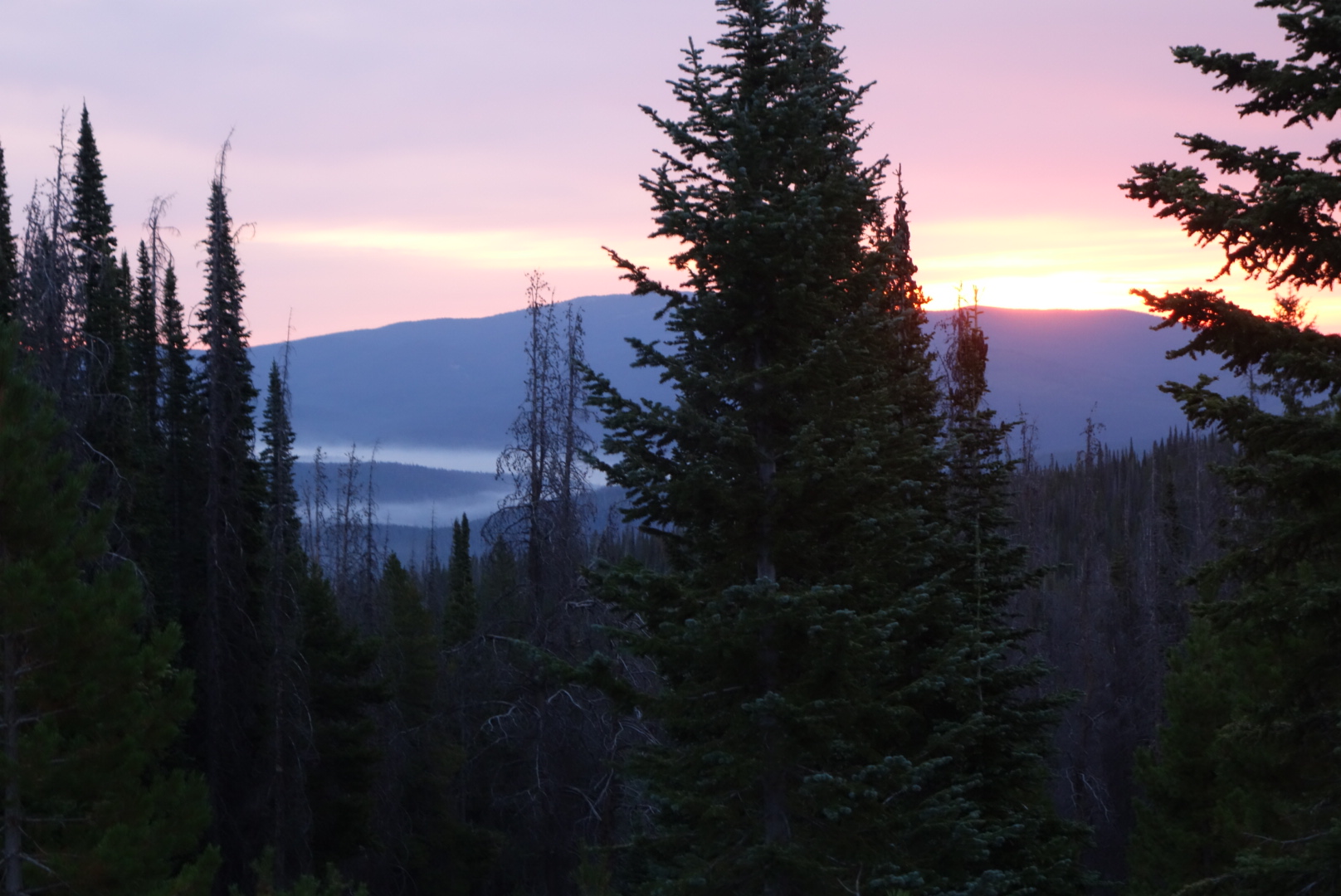
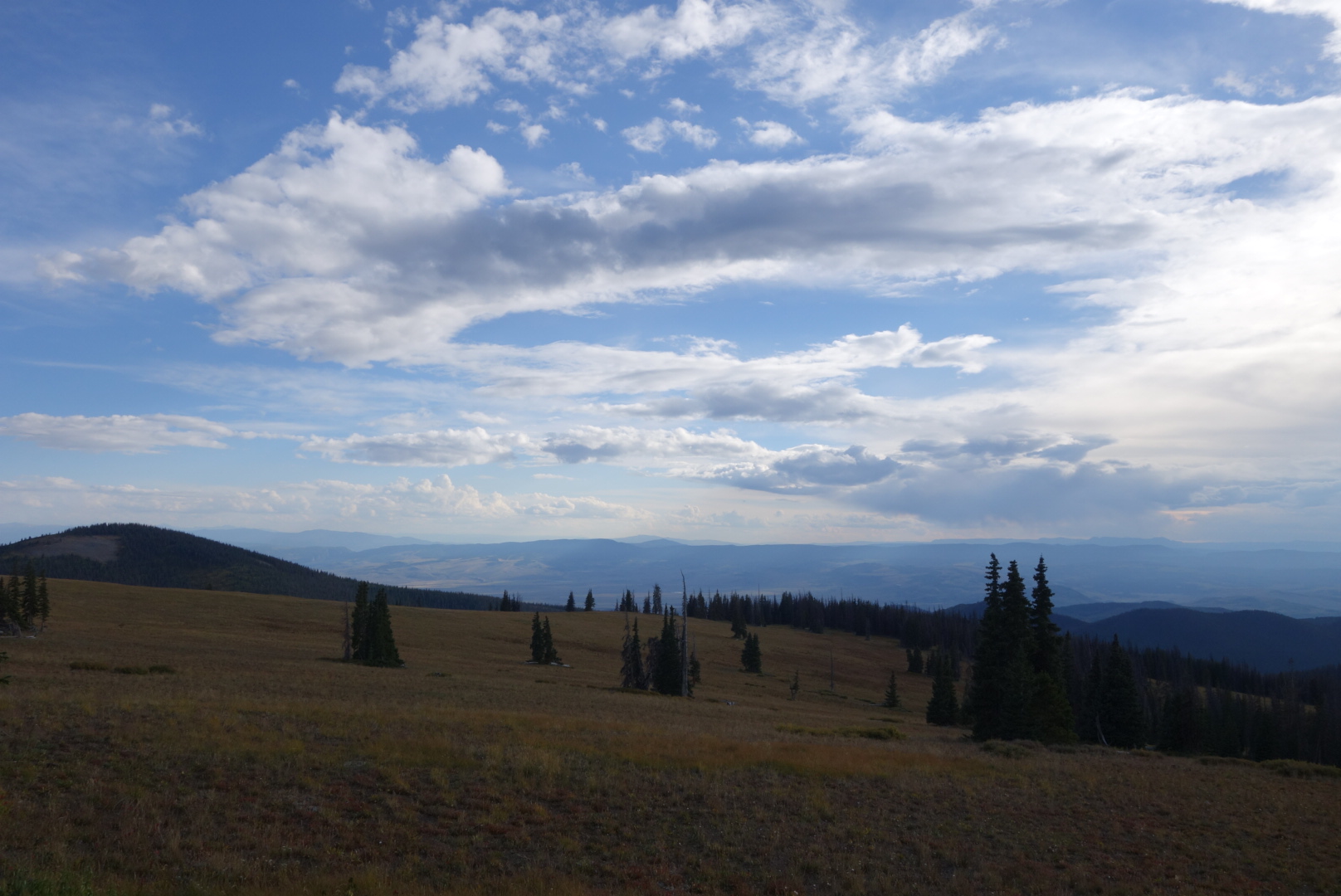
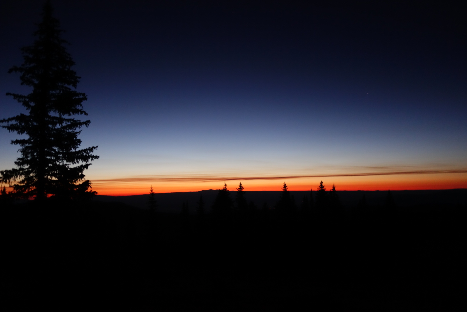
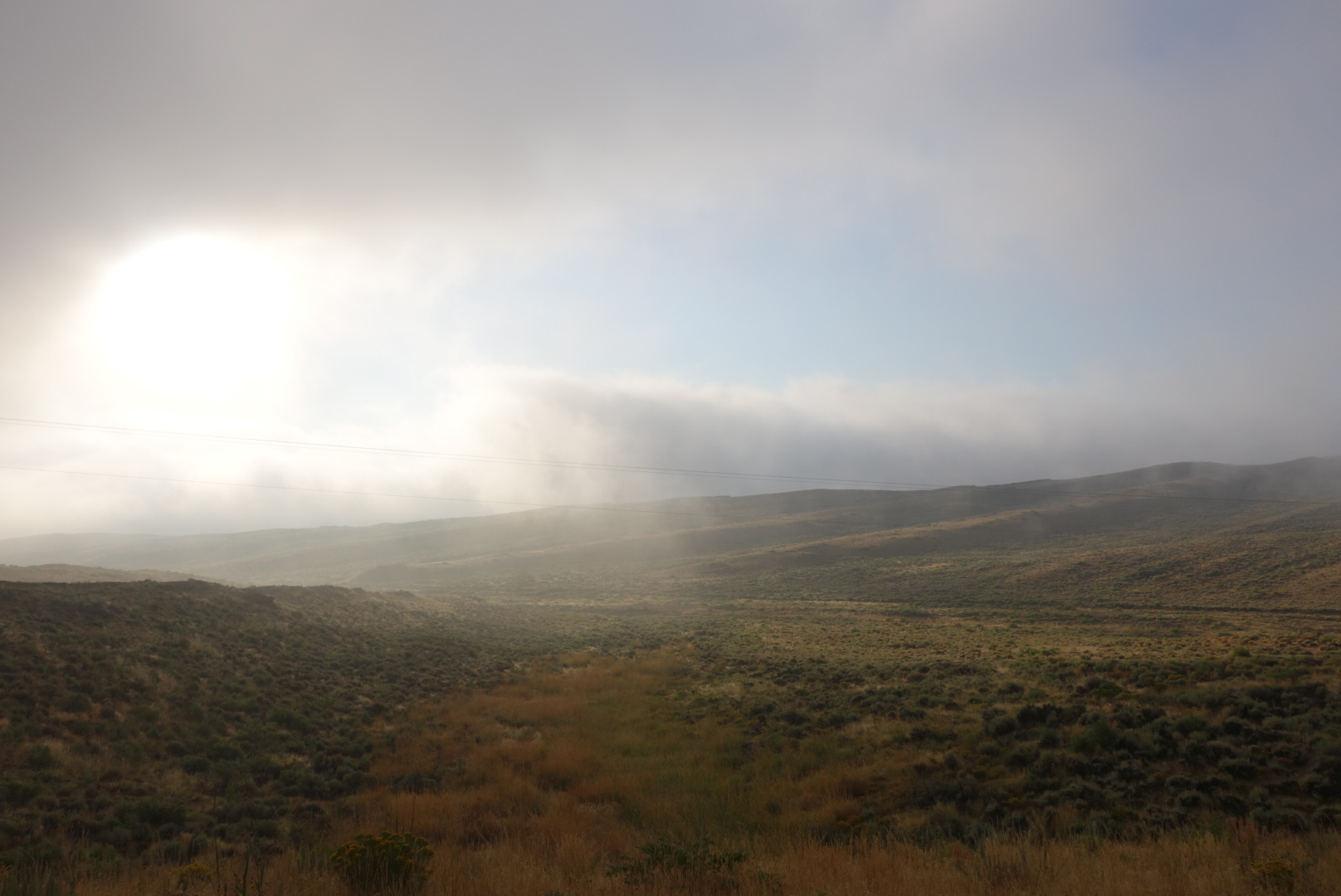
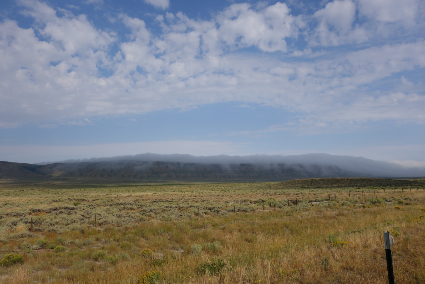
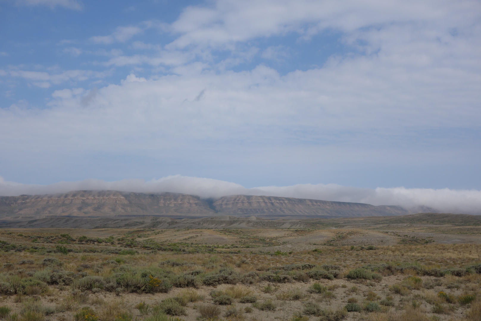
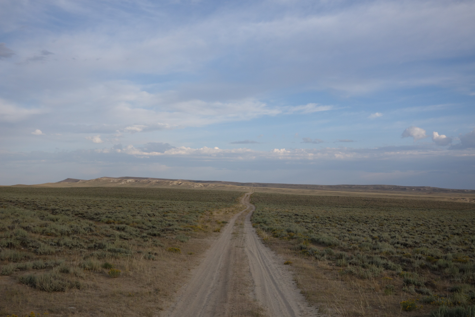
The Basin had flattened out.  Well, at least the route did.  While there would be hills to the side, most of the route for most of the day was along gravel roads.  I loved walking along in this area in the morning.  There was a sweet spot when I turned off my headlamp, let the first hint of light brighten the sky and listen to the coyotes and cows discuss their plans for the day.


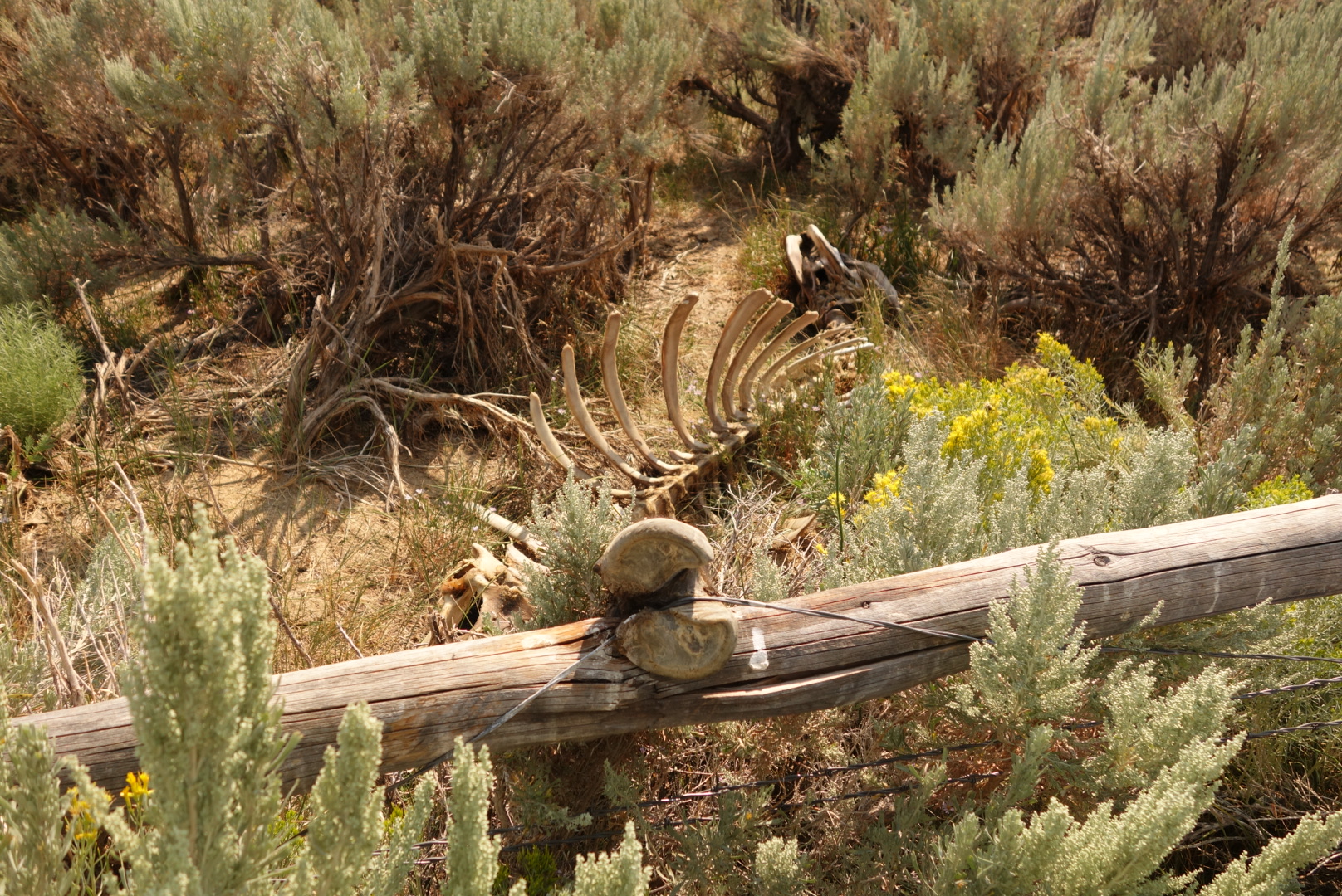
One thing the ranchers /BLM do that is worth praising is preserving water sources.  Often there is a concerted effort to protect the scarce springs and to manage their flow.  The rancher benefits from a clean predicatble flow.  Other travelers benefit from a source without cattle trampling and pooping.  I’m sure there are also some desert micro-environments that are saved as well.  Unfortunately, at Bull Springs, a solar powered well that is protected by a wood and barbed wire fence, I saw the downside.  Apparently a steer just couldn’t resist the green grass and water on the inside of the fenced area and tried to jump the fence.  Its hoof got caught in the barbed wire and, after the scavengers of the area had completed their tasks, a skeleton remained to tell the sad story.  For me, it was a sad personal victory confirming my suspicion that while the cat may indeed have played the fiddle without opposable thumbs, there is no way the cow jumped over the moon.  Hey Diddle Diddle.

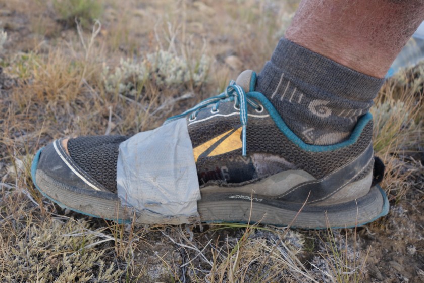
Later on, as the trail neared Highway 287, there was again a coice to stay on trail through innocuous scrub land or walk along a raod.  By this time, the side of my right shoe was blown open and the duct tape repair I made in South Pass City was coming undone.  I elected to walk on the pavement to stop getting crud in my shoe.  Once at the highway I walked up the hill and found the marking where I should leave the paved route and rejoin the official trail.

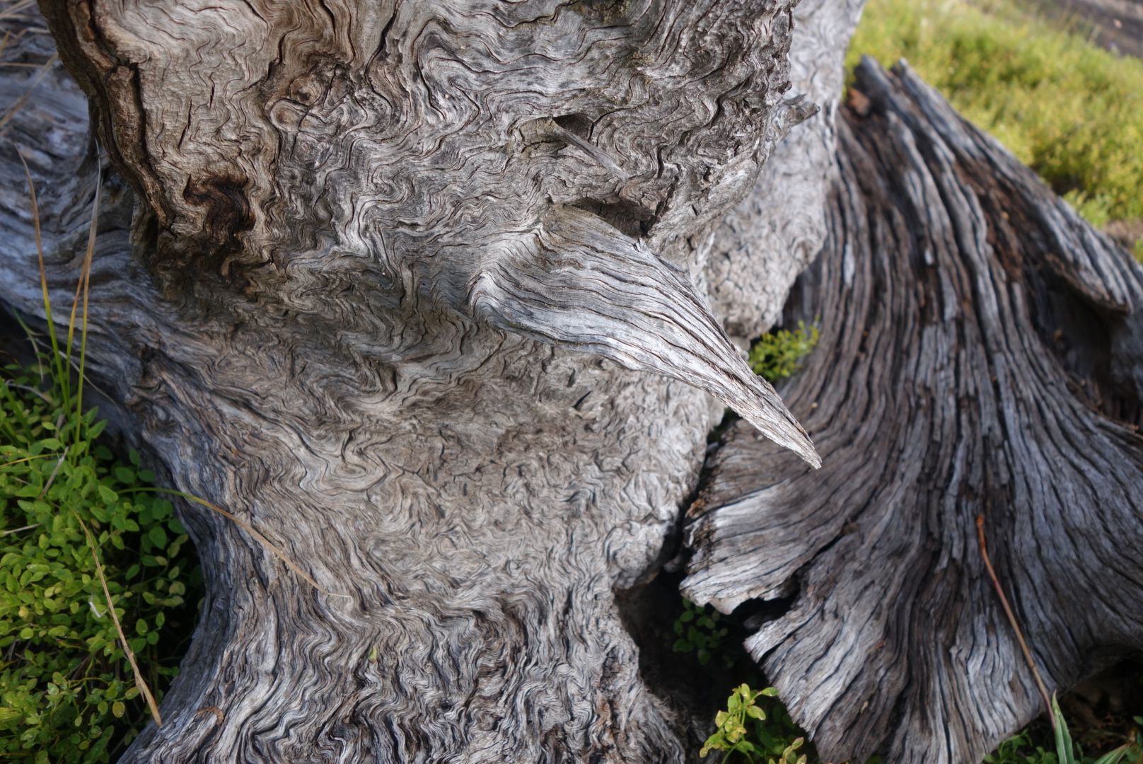
Well, this “trail” was something new altogether.  Before I begin a description, it is important to acknowledge a significant portion of the trail is developed and maintained by volunteers.  These are amazing people who take time to make the route possible.  However, in this one particular section, I think I pieced together what happened.  The trail builders were given some signs and tasked to go create the trail.  They put 2 or 3 signs into the hard, rocky soil about 1/4 mile apart.  They were so proud and happy they went out to happy hour and celebrated. Hard.  In fact, they could not remember where they had worked, so the next time they did the same thing a little further along.  The net result for hikers are randomly placed trail markers with no connecting trail nor contouring logic.  The maps attempt to document a trail, but there is none.  Fortunately, as this section nears a reliable water source, there is a solution.  The animals all know where the water is, so one must find a game trail and then follow it.

I arrived at the Fish Pond Spring at dusk a little frustrated, thirsty, with shredded shoes.  My heart sank when I saw the spring was solar powered and realized it was off until morning.  Fortunately, there was a holding tank downhill a bit that still had some water.  I attached my dirty water bag to the tip of my hiking pole and was able to lower it into the holding tank.


As I left, I was able to witness an interesting example of animal behavior.  I knew from their sounds that wild horses were waiting for me to leave the area.  As I left I went up a hill.  Once I was about halfway up I turned to see the horses.  There was one patch where a pond formed outside the spring’s fence and standing water could be seen reflecting the fading sunlight.  Further downhill was a puddle that looked dried out.  The strongest looking horses (about 5) were gathered at the obvious water.  They stood grouped behind an apparent leader.  However, they were not drinking, I assume they had done so as I climbed.  However, at the lesser pool were about 5 more horses.  I deduced that there must’ve been some sort of caste system.  One last observation was that at the lesser pool, the whole group stood with their heads together.

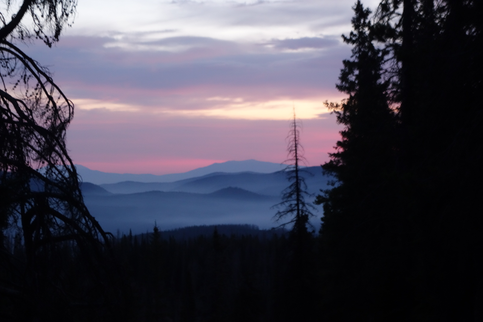
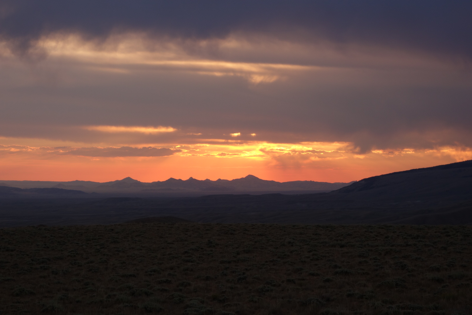
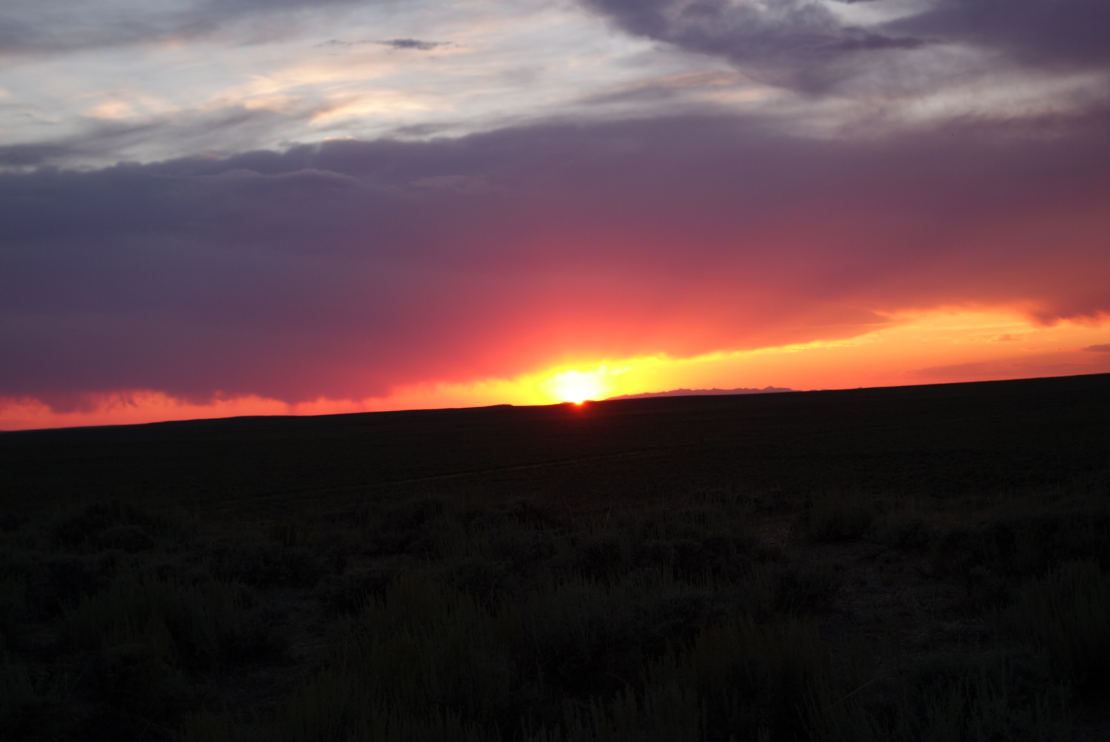
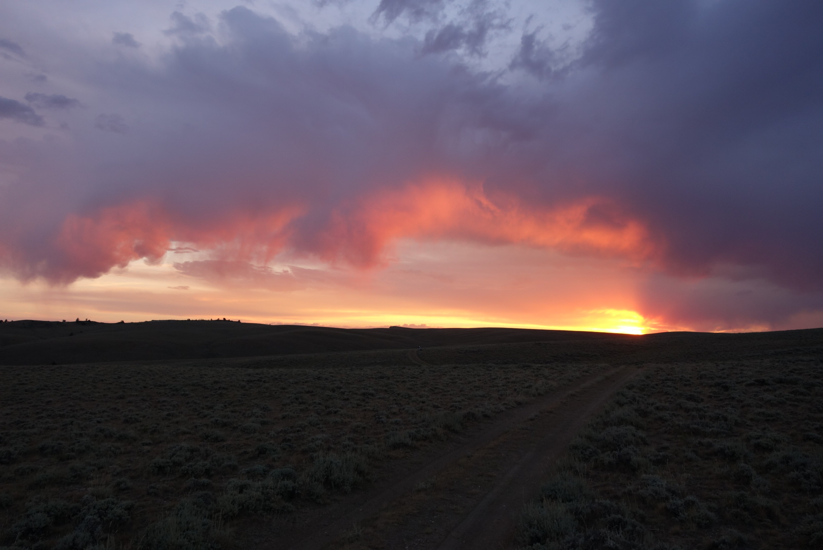
As the sun set and the moon rose, I tried to find a level sheltered spot to camp.  It was going to be a clear night, so I only intended to cowboy camp.  As I came up to a promising looking clump of shrubs, up popped a buck mule deer’s head.  Then, as if on cue, three more popped up in a row, each about a half second after the other.  As the last one popped up, the first decidided to bolt and it was quite a sight to see them head off and gracefully clear a barbed wire fence in a single bound.  

I took their well chosen spot as it was protected and had a good vantage point, even if the principal feature was the highway below.  Wanting to avoid ticks, I chose a spot about 15 feet up from where they had been.  I fell asleep to the hum of the traffic below and the beauty of the heavens above.