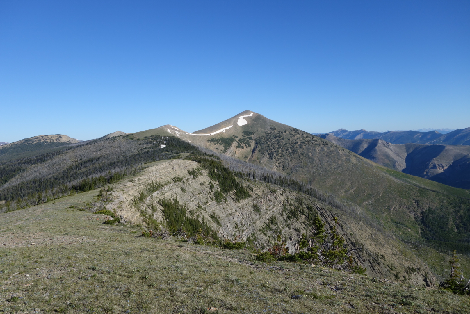
Bonus Miles!

July 9th

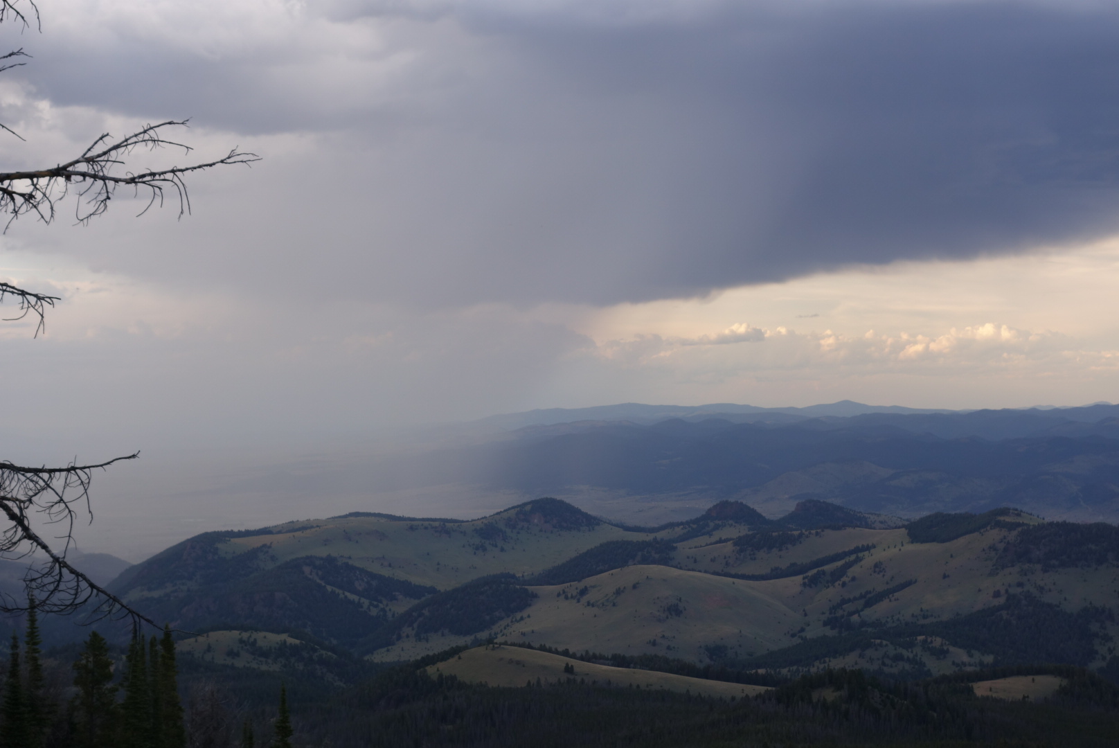
Fortunately, the bad weatherwent to both sides of me.  Burnt Mountain sheltered me from the storm.  It was 
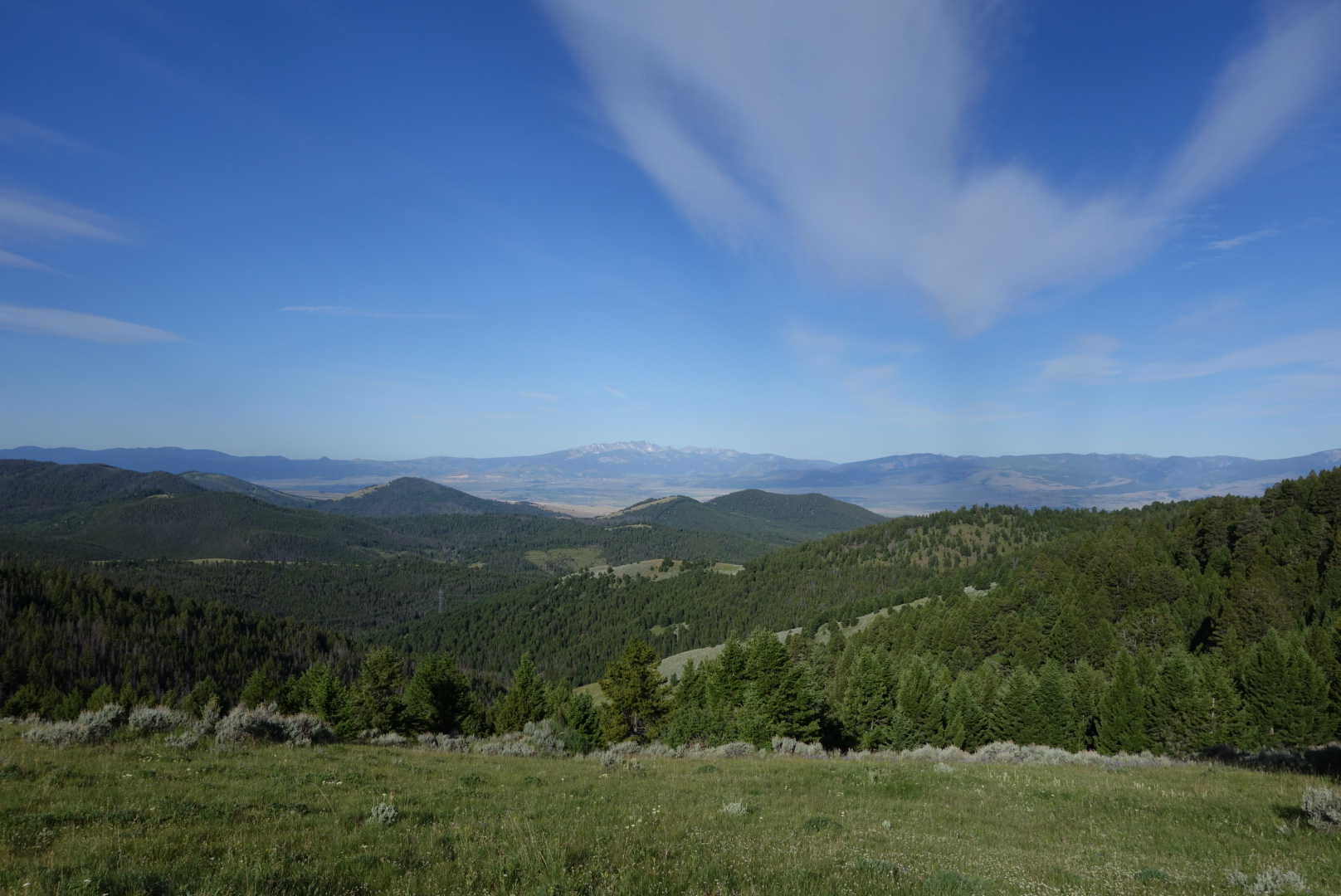
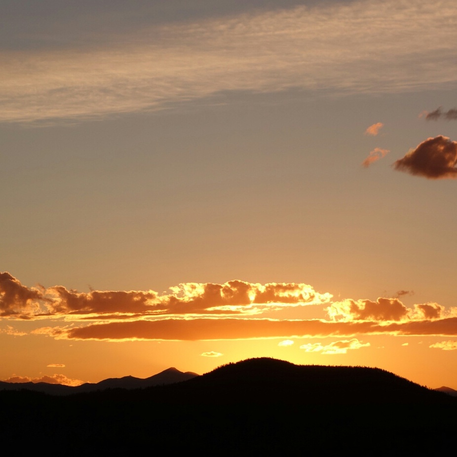

an amazing sunrise.

Sunrise over Butte

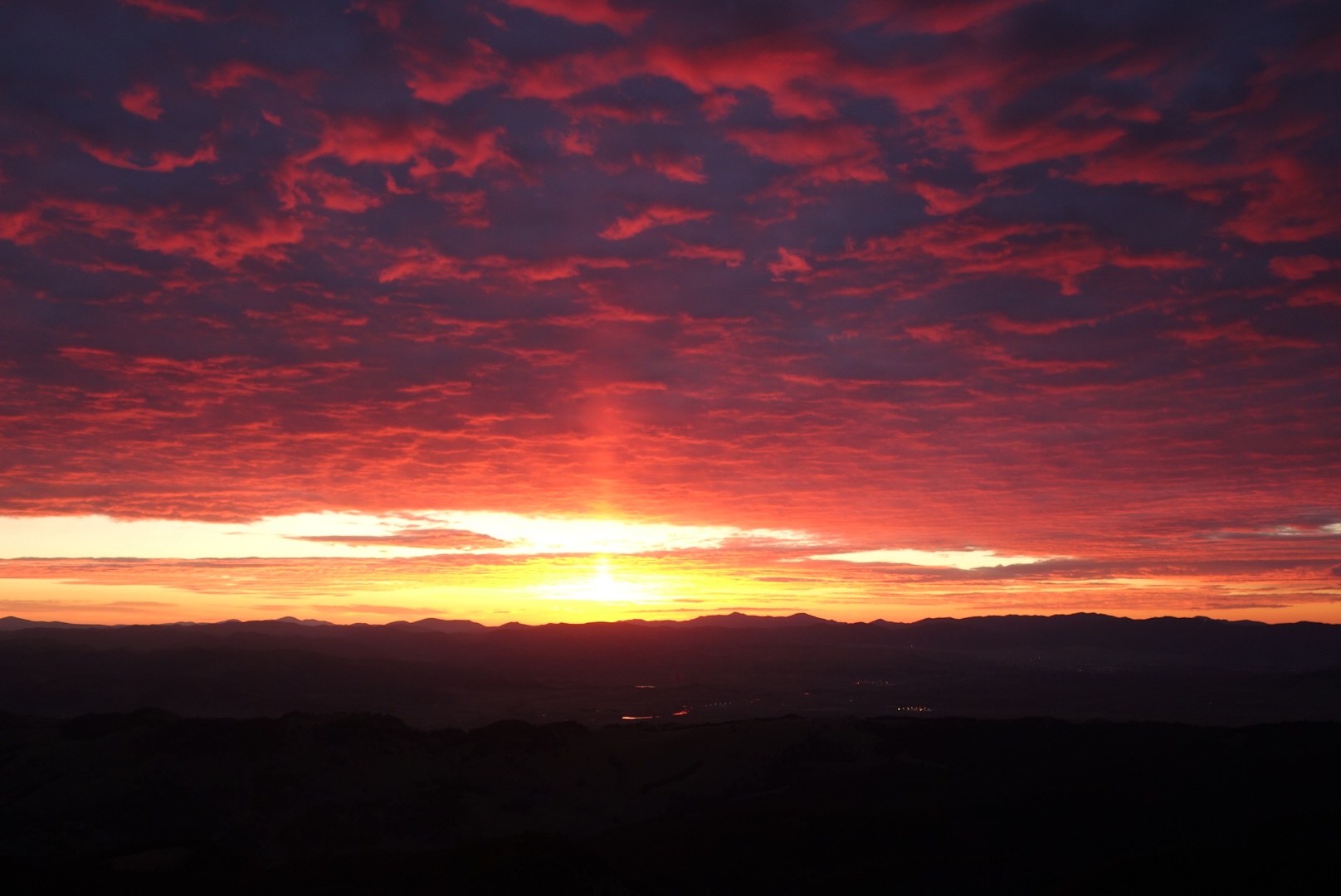
Knowing I had a dry day ahead of me, I went back to the beautiful spring to fill up.  I drank a liter and then filled both my two liter water containers and placed them in the top of my pack, knowing that 8 pounds of clear spring water would be a pleasure to carry.  As I turned to start my day’s hike, my right toe caught on the top of a rock.  I lunged forward a step, tried to raise myself, staggered 2 more steps,  but the weight of the water behind my head threw  my balance off and I smashed into the ground.  My hands took some of  the blow, but most went to my right knee, especially the knee cap.  I sort of wish I had a slow motion video, but the damage was not funny.

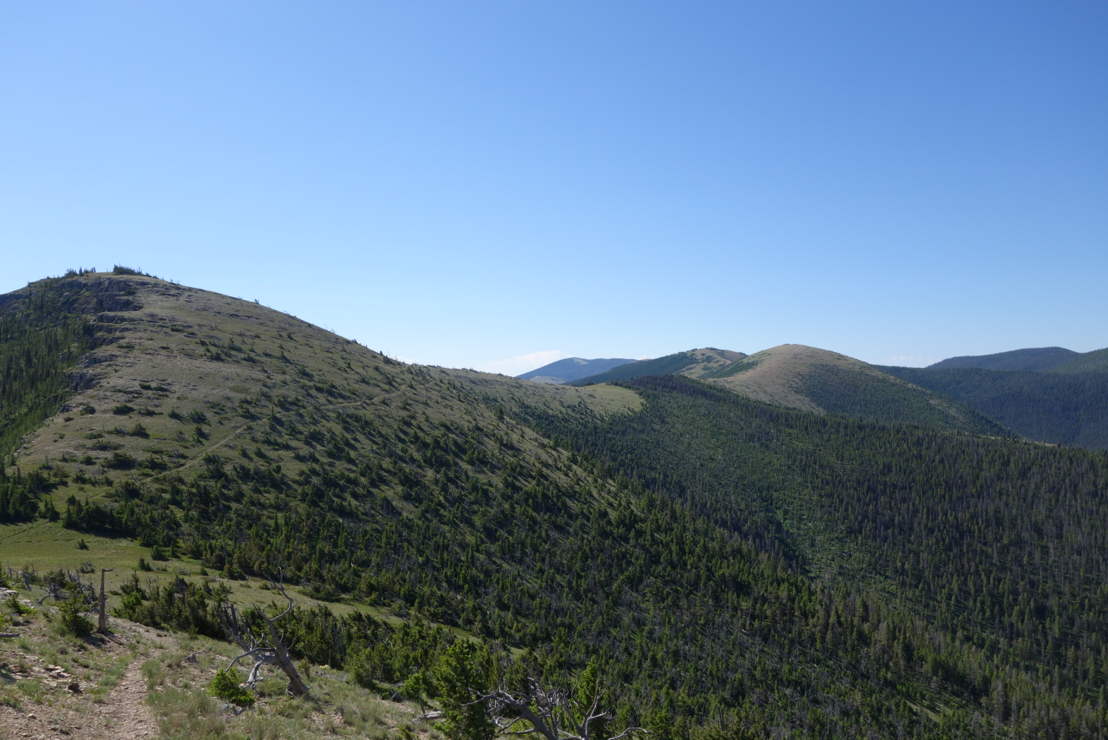
The trail meandered through some abandoned mines.  I was listening to an audio book and failed to notice I was off track until about a mile down the wrong hill.  Bonus mileage! 

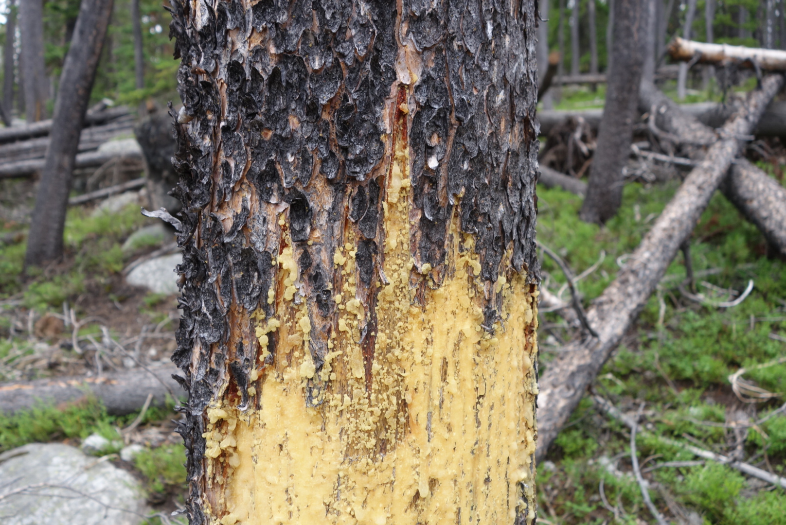
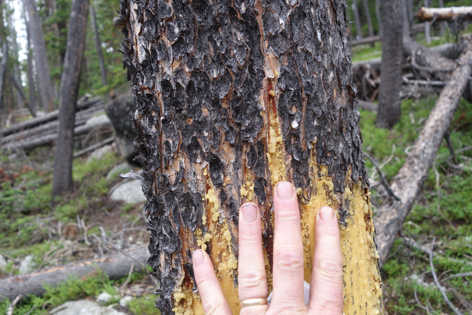
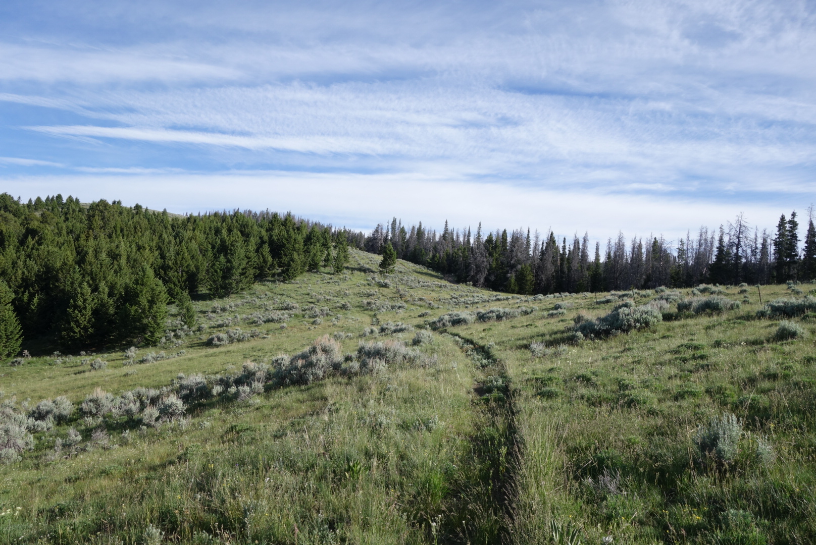
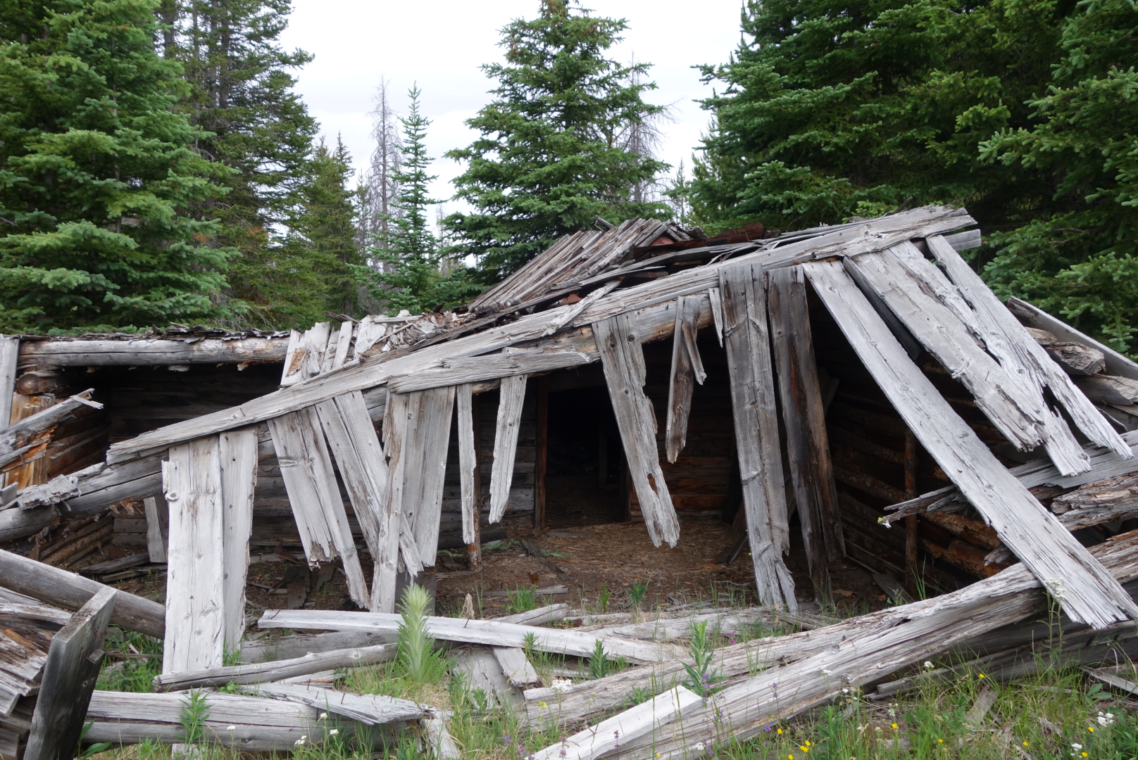
Eventually, the (correct) trail went through a flat valley with several abandoned log structures. It must’ve been something in its day.

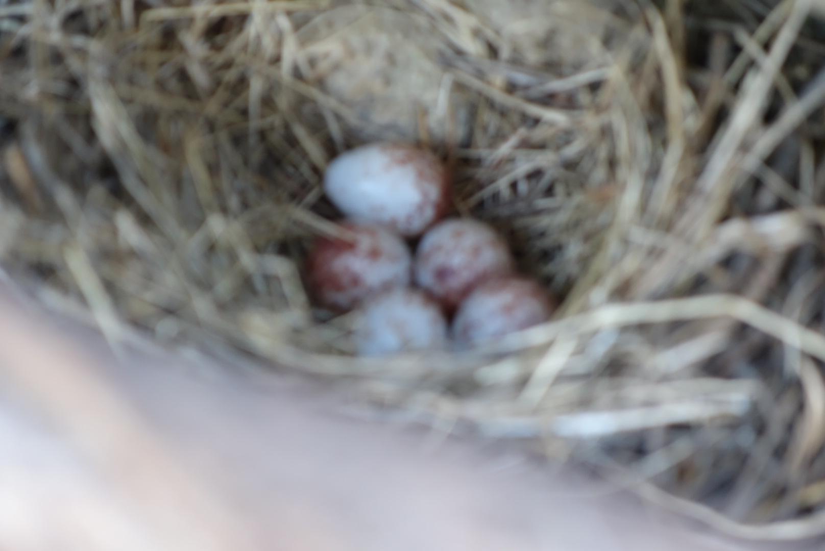
Later the trail went through a wildlife management area (Mule Ranch).  I saw a mother and calf moose but could not get a good photo.

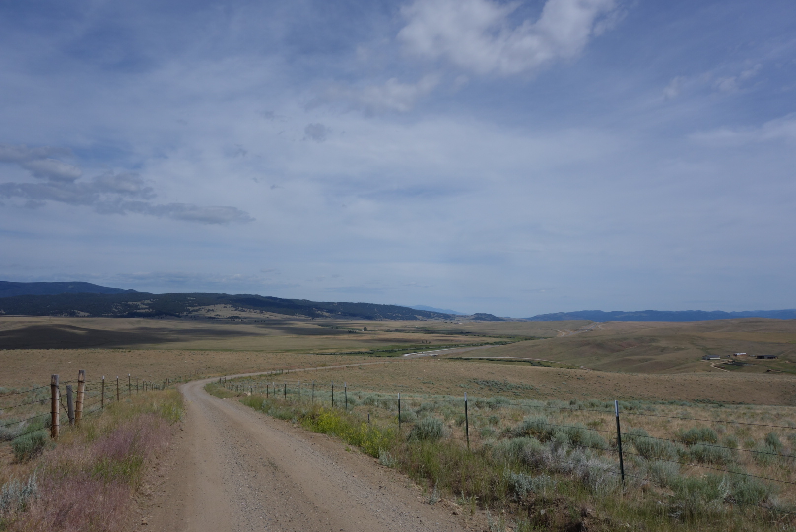
A fierce rain storm accompanied a drop in temperature as I walked along a highway. I put on another top layer and my rain gear. It promised to be a wet night.  As I turned up my forest service road to reach the Anaconda Pintler Wilderness, a nice local stopped and offered me a ride to the trailhead (7 miles).  I thanked him and said I was trying to walk the whole way.  He shared  that the rain was supposed to turn to snow, so I thanked him for the information. 

I eventually found a flat, high spot away from the road for a campsite.   As a rule I try to get far away from roads on Friday and Saturday nights due to drunks.  It did not snow,but got cold as I ended my highest mileage day yet (27).

Except for Oddities, an Otherwise Boring Day

July 8th.

I knew today was going to be tough: hot, a long, waterless road walk, and then a climb back up in to the mountains. Plus my new shoes had given me blisters which were acting up.

In the morning as I descended I nursed my remaining water. I hiked through a cow-filled meadow called Burton Park where all the water was fouled.  I eventually headed out of the forest to the bottom of a valley  where Interstate 15 whisks people and products along. 

 Heading down, a group of three pick up trucks towing empty srock traIles passed me on their way up.  On the way back down, the elder rancher stopped and said “Don’t suppose I could offer you a ride.”  I said I was trying hard to walk the whole way.  He said “I figured” and went on  his way.

The weird torture of this all is that I was coming down into a broad, dry, treeless valley. On the other side was my destination clearly rising miles away. The silver ribbon of Interstate 15 cut through the middle.  My route was equally visible as miles of gravel road veering to the north, under the freeway, and then up into the mountains.   My only water source was a creek that had run through a few active ranches. Tempting me was a rest area off to the left.  I know that sounds ridiculous, but shimmering in the heart of the valley was a beautiful rest area.  I imagined cold running water, clean restrooms, and an attendant serving coffee to weary travelers.  Unfortunately, what stood between me and my fantasy rest area were 2 pretty obvious trespasses plus an exciting, perhaps life-altering, sprint across an interstate.  Predictably, I chose gravel and cow water.

As I  was nearing the end of my gravel road walk, a white Forest Service pickup slowed down as it approached from behind.  To the amazement of us both, it turned out to be the exact same forest ranger that I met on a gravel road on July 4th.  I joked that I had a right to know why the USFS was tailing me.  He was just on routine patrol and this was the southern end of his territory. Odd, but true. 

I had a tough,  long climb back up to altitude.   The trail was shared with horses and ATVS at this point.  Didn’t see anybody, but there definitely some folks firing guns in the distance. 

 I was nursing my cow creek water as I went further uphill.  Thunderstorms were forecast, so I could still sleep up high, just not too high or too exposed.  As the sun set, the clouds thickened, and the last flat  camping spot was coming in to view, miraculously, a tiny spring showed up.  Right near the top of a dry mountain was a clear, icy spring. I was so happy and immediately replaced my cow water and rushed off to set up camp near a bluff overlooking the entire Butte valley.  What a great finish to a tough 23 mile day.

Rain falling over parts of Butte
Eggs from a trailside nest
Roadways look like this

A Visit to Homestake 

July 6th

Originally, I had planned on just an in-and-out resupply at Homestake Lodge. 

However, I had some problems with my water treatment and the timing worked for an overnight stay. Helen had sent my resupply package plus my replacement water filter. Yeah!

There were some great views of Butte. The city looks beautiful except for the fact it abuts a huge, active open pit mine.  The trail goes very close to a 60 foot statue on the skyline of Butte.  I couldn’t discern the name, but it was something like the Blessed Saint of Strip-mining or our Lady of Perpetual Hygiene. 

Besides Butte, the trail went past an abandoned mine, complete with rusty ore car and steam engine. The trail also had new, remarkably well built bridges over creeks.

 The temperature swings were interesting. At times it was overcast and in the 50s, perfect hiking weather. Then, it would get dark and a cold rain fell, causing me to stop and put on rain gear.  To end the cycle, the sun came out, necessitating the removal of rain gear.  Repeat.

NOTE:  I am having trouble with WordPress, my blog provider,not adding photos.   This stinks.  I hope to resolve soon.

Changes

July 5th. 

I set off early and was surprised to quickly run into Adam and Denali just waking up. I figured they were miles away.  They reminded me our paths would separate today as we chose different routes for this trail.

Not as much wildlife today. I had one mother hawk dive bomb me as I walked past her nest in a tree.  Also, startled a small bird who  flew away from her nest right in the side of the trail. By now I believe there should a lesson for all birds to NOT make nests near trails.

I finally got on the trail I was taking.  Most hikers choose a shortcut that involves 3 days of road walking versus a 6 day walk in the woods.  From the trail it appears I am the first person to take this route.  There were no other footprints except for elk and deer.

It was strange terrain.  There were large piles of smooth-ish boulders that created caves.  There were lots of  downed trees. I felt like this was ideal mountain lion territory. Soon after, I found a scratching tree.  

Cougars mark their territory by rubbing against trees, urinating, and clawing certain outposts. The tree I found had an ascending series of scratch marks with sap burying the preceding claw marks. 

Camped in a great spot by myself.

Very strange boulders everywhere.
Claw marks from cougars

Very odd rock formations
Sorry for the bad focus

Fourth of July from a Mile High 

July 4th.

Last night there was a distressing call from the woods. It sounded like a creature met its end.  It made me realize how close to the trail I had camped.   In a sick way, I hoped the poor creature was quite filling.

After some early blowdowns,  the hiking quickly changed to high grass meadows.  It is great to be able to see the trail stretch way out ahead and to be able to look down valleys and across at other mountains. 

I hiked with Adam and Denali most of the morning. It was a good challenge to keep up wits them.  AfteR lunch, I left ahead of them.  According to both my maps, I took the correct turn.  According to reality, I went to bacpacker’s hell.  It was blowdowns, marshes, rocks, and bugs.  When I pulled up the map on my phone, it assured me I was on course. 

I eventually gave up and decided to angle downhill.   I eventually found the correct, new trail.  However,  before that,  I was able to see my first badger in nature.

Today I saw lots of animals: elk, deer, and the badger.  Late in the day, I saw a mother Elk and her calf.  Also, on a side trip to get water, I saw what I believe were wolves.  At first I thought they were coyotes, but the way they walked and then ran indicated wolf.

I was pretty beat by the end of the day.  Still, got some fireworks in the form of sunset.

Blisters Hurt

( July 3rd)

Last night I camped up high.  Mountain winds are crazy. As the sun goes down, they start gusting and swirling as though undecided about a permanent direction. Then, they stop.  It is like a person tossing and turning until the perfect position is found and then instant sleep. 

Around 11:30 some creature was coming down the trail calling out.  It was either a mother calling to her young or youngster calling for a parent. As it got close I made a bunch of noise because I did not want the reunion outside my tent.
I leapfrogged with Adam and Denali most of the day. They are a great couple that are strong hikers.  Again the terrain is primarily lodgepole forest on hills.  Water has been plentiful, but I am not sure how long that will last. 
I had a strange experience.  If you’re not familiar with a bird called a grouse, it’s primary survival tactic is to sit perfectly still alongside the trail until you are within 3 feet. Then it explodes into the air with wings flailing and making a squawk-ish sound. Invariably, I swear out loud and check to see if I had any involuntary secretions. 

Well, this time instead of bursting into flight, it fluffed up, started squealing and squawking, and proceeded to chase me down the trail. After about three seconds, her bravado wore off and she must’ve realized I could easily kill her. As a result, she veered off trail and slowly became silent.

I received brand new shoes.  I have worn the same brand with no problems. Now, I have two  blisters on my left foot and one on the right.   Ouch!

Back in the Saddle 

(July 2nd)

Finally returned to the trail.  Got a ride from Mark, a local trail angel, who had already planned on giving a ride to 2 sobo hikers  staying at the same motel.

My leg felt pretty good. I ended up getting close to 20 miles.  The weather was great. Most of the terrain is rolling lodgepole forest. I saw a moose today that was running through the woods, no doubt glad he didn’t have big antlers.

Photos :

Tree with a heart

Lupine (?) Field: smells fantasting

Ancient tree

Holed up in Helena

(June 30th )

The orthopedic physician didn’t shed any new light.  X-rays were negative.  Final diagnosis seems to be infection, banged up tendon, old age.  Only the former is being treated.

Helena is a beautiful town.  Little bit of trivia: it was named after Helena Minnesota.  A couple hard-luck miners were about to abandon the area when they made a discovery in the area known as Last Chance Gulch. 

I am planning on returning to the trail Saturday. I would love to be up high for the fireworks.  My wife sent a great resupply package so I have plenty of food, new shoes, and duct tape.

The trail angel (Jamie) who picked me up and brought me into town has even followed up twice offering rides and a place to stay.  She and her husband are very kind and definitely made this stranger feel welcome.

Plus, the lady who runs the motel (Jenny), took me  to my orthopedic appointment and even picked me up.  It could be I only meet the greatest people, but I  suspect it is more likely that Montanans are generally kind and helpful people. 

I have been restless.  I have visited the library frequently, walked to get groceries, and visited a few historical sites. Oh, and I have been eating an embarrassing amount of food.  I have not really hiked that far, but I’ve eaten like a starved squirrel that’s busted into the Fisher Nut factory. 

Tough Decision

(June 28)

I packed up quickly to get on trail.  Surprisingly, I slept well even though I was close to the highway.  I drank a lot of water from the nearby creek, filled my 2 liter platypus, made damn sure the top was screwed on tight, and started climbing up to the ridge.

I love this section of the trail. Hiking up to one peak then down a ridge then up the next peak. With clear weather, there are sights in every direction.  Most of the time it is open and exposed, but there are times when the trail goes through forests.


My leg was not getting better.  I have developed this “life lesson from backpacking” which goes something like this.  Some days you wake up with a pain.  It feels awful and you are convinced there is something gravely wrong with you.  You just hike through it for a day.  So many times the pain just goes away.   Rarely, like now, does the pain persist for more than a day.  When it does persist, it warrants  attention.

I kept turning around to see if the people who went to Lincoln were overtaking me.  I did not see anyone.  However, I did catch a moose that crossed the trail after I passed by.

It was hot and breezy up  high.  I thought originally I could complete a 12 mile section to water within 6 hours (7 to 1).  However, I was slowing and it became clear I was not going to get there until 3:00.  I had been nursing my water, taking drinks as rewards for reaching peaks.  By 1:30 my urine stared getting darker and less productive.  Although I have had heat exhaustion in the Arizona desert, I was experiencing dehydration for the first time.  Fortunately, I still had some water left and immediately drank all of it.


I reached the highway pass (Flescher), reached the water source, downed 2 liters, and filled all my containers (4 liters total) for the next section.  I was limping back up the highway to the pass from the water source when a work truck stopped in the middle of the highway and asked me if I was OK.  A good rule of thumbthumb in life is that if somebody stops in the middle of a highway and asks you if you are OK, it means you do not look OK at all.


The lady asked me if I needed a ride in to Helena.  I said I was just getting water and thought I might be ok.  A car came up behind her and she had to move on.  I had planned to hike the next section, hoping I could meet other hikers.  Still, my leg was bothering me so much that my pace was continuing to slow.  The lady turned her truck around and drove up to pass.  I accepted her offer  of a ride and I gave her my driver’s license so she could know who I was.

It was a tough decision.  I had promised my wife I wouldn’t do anything stupid (well, beyond my normal range).  I was getting slower, I was alone, the next section was about 60 miles which meant if things went real bad I would be even further from help.

This trail angel ended up taking me to the urgent care in Helena. She offered all kinds of support and was incredibly generous.  I marvel at how good some people are.  I tell my daughters to never pick up hitchhikers, especially ones that look like me.

The physician said my wounds were obviously infected and gave me a prescription.  He was not as confident on the tendon issue and wanted me to see an orthopedic physician in the morning.


The last of a stray morning thunderstorm 
These amazing trees grow parallel to the ground due to the strong persistent winds.

Guess which leg was infected?

My Worst Day Backpacking

(June 27)

Gotta love the title, right?  Brutal honesty.

Aside from some minor foot pain, the day started well.  I had a flawless water strategy: camel up and then pack 3 liters. (Camel up means to drink a ton of water before you start…the idea being it is easier to carry it in you than on you.)  The trail was up high all day, the weather was clear, and there was a water source about halfway through.


I started strong, eventually setting some distance between me and the others.  My right foot, however was getting worse.  It seemed like two things were happening:  the tendon adjacent to the shin bone that controls the ability to point your foot down hurt and some of my cuts had not healed properly and the wounds were warm and red.  Thus, while I could cruise pretty fast on flat or uphill, the down hill became more excruciating as the day passed.

I can’t do justice to describing the views.  One direction looked out to the opening central part of Montana.  Looking north I caught glimpses of the Glacier National Park mountains.  Westward were snow capped peaks.  It was 80 degrees and smog free.

Above tree line the trail does get a little obscure.  Some people use a smartphone application to navigate.  I’m enough of a old timer to look down on this as basically using a remote control to navigate the wilderness.  Today, however, this old timer perspective sent me off through some rabbit holes. I, too would use my smartphone when I was confused, but I also only had about 40% left on the battery and was not scheduled to resupply for 5 more days.

Around 1:00 I came to a pass where water was only a quarter mile away.  It was a pass where Lewis Meriwether had stopped on his return trip.  At some point, I must’ve taken off my lightweight gray merino hoody and set it down.  That was the last I saw of that piece of clothing.

It turns out that was not the only blunder.  I use the plastic bottles branded as platypus.  Flexible and easy to roll up when empty, they can expand to hold 2 liters of water.  I filled one up and put it in my fancy new backpack that is waterproof.  Not until later that day did I realize that the top has to be screwed on tightly to prevent leaks.


As the day wore on, I was a little frustrated as one hiker after another passed me by.  They all intended to get to the next pass (Rogers) which has a highway where they would hitchhike into Lincoln, MT.  I was limping along carrying food for another 5 days for an eventual resupply in Helena, MT.


At 8:00, I finally reached the pass.  No hikers were there so they must’ve all got rides.  I crossed the highway, found water, and began to set up camp.  That is when I discovered how waterproof my backpack was.  All my extra paper maps and my bag of electronics were submerged in the bottom. I tried to separate and dry the map pages with mixed results.  I faced the  grim reality I would not have a complete paper map set and my phone battery was down to 30%.  My only hope at that point is that hikers would catch up to me and I could plead for some of their battery power and/or tag along with them.


I closed my eyes and tried to fall asleep to the sound of semis down-shifting as they pushed their rigs over the pass and started their descent.

I hikes 18 miles in 14 hours. 


Columbine growing within old stump

Cairn built around a pine tree