You say Lima, I say Lima.

July 25th.

Today was a special day.  It was a town day.  I was going in to Lima.  It is pronounced like the bean, not the Peruvian city.

It was a 7 mile walk down a gravel road to reach the pickup point for the motel owner.  Dull walking, first through cattle grazing, then next to interstate 15.

As I was two thirds through the tunnel under the interstate, I heard some bells.  Up ahead, a herd of sheep came around the corner.  They were being herdedinto the tunnel, but didn’t like the fact I was there.  I slipped to the side and out and ended up helping the rancher herd the sheep into the tunnel.

The fast ones soon appeared.  They had better luck reaching the motel owner and we sat on the side of I 15 waiting for our ride.

Matt, the motel owner was great and gracious.  When we got to town, I ate, showered,  did laundry, napped, and ate again. Lima has seen better days, but was still an excellent stop.

I received my new shoes and donated my old ones to the shoe tree at the motel.  This is where through hikers hang their abandoned shoes.  It was kinda impressive. 

Wiped Out on the Ridge

July 24th

I  broke camp fairly quickly.  As I was doing so, Kimchee, one of the group of 4 fast, young hikers, went past.  She was the source of the footprints I saw yesterday morning.  She was off like a rocket and I only saw her briefly as the trail climbed up. I could tell this was not heavily explored because instead of fancy names, the mountains were called “Red Conglomerate” and “Knob.”

I ran in to two northbounders this morning.  They seemed pretty happy to be in their last state.

Also, came across a huge old tree near a developed spring.  My guess was a 12 foot circumference.   Old trees are so majestic. 

This tree was huge.

My nemesis, meadows, caused me to get off trail again.  I knew where I wanted to go, so I bushwhacked and followed game trails.  I learned the hard way that stingin nettles were now coming into strengtth along wet areas.  If youve never felt them, it is like fiberglass or  scratchy wool that stings your skinn.  So now the mosquitos and flies had competition.

I eventually got back on trail and saw the other three members of the group of 4 were just ahead of me.  I caught up to them during their rest period.  We were all about to ascend from water up to distinct ridgelines for the next 10 miles.

The other hikers ahead of me.

Ridges forever, it seemed.

No individual element was to blame, but the hot dry air, the wind, and the constant up 600 feet/ down 600 feet all combined to wipe me out.  The views and the geology were a pleasant distraction.  Expansive views in all directions.  Also, the ridges were mostly round, smooth stone.  I could not figure out if we were walking across large glacial morraines or if this had been old river bed thrust up.  I wished I could carry about 10 pounds of these egg shaped rocks with me.

There was a certain beauty to the terrain.


At the end of the day, I chose, once again, to not take the alternate that got to water sooner.  I took the official route (which was clearly not a popular choice judging by the tread).  I came across two male mule deer grazing in the sunset.  I also caught the interest of a coyote family just getting ready for the night.  I don’t know if this is common, but one parent took off in one direction with the smallest pup following while the rest of the pack went slowly and obviously  in the opposite direction.  I went all the way to the edge of the public land and camped next to the barbed wire fence  that held back a herd of cattle.  I fell asleep to the sounds of cows and coyotes.

Different Paths

July 23rd

I woke up and was a little sluggish after two days of 26 miles each.  Once I did get going, I was surprised to see a fresh set of footprints on trail.  They must’ve passed my camp this morning.  It wasn’t the younger couple, so somebody new.  I followed the new footprints up a meandering creek with alder and willows; seemed like perfect moose habitat.   Sure enough, I came across a moose having  breakfast.  I was a little elevated so I had a good view.  She was not thrilled to see me, but she also did not panic.

She was a little annoyed.

Here, again, the trail split into an alternate that was supposed to be more scenic versus the official route.  I took the official and the new footprints took the alternate.


The trail went up.  As a result, it went from forest to dry, higher ground with small patches of pine.  I saw a lone wolf in one pass.  He looked a little thin and I suspect wide open terrain for a single wolf is tough hunting.

After the morning’s first ascent, the trail went down to Deadman’s Lake.  No explanation as to whether there was a deadman found there, or a person visited the lake then died, or somebody threatened another that if they went to the lake they were a deadman.  The possibilities could fill a hiker’s mind.  Rounding the ridge top, the blue green lake below was beautiful. As I followed the official trail down, I noticed an all wheel drive trail that bombed straight down.  No, I would stick to the official trail.  An hour later I was mad at myself as the official trail shot gently past and away from the lake, mileage I would have to cover.

Two curious things about Deadman Lake.  First, there was a fox.  I startled him and he sprinted down the trail.  He stopped.  I approached and again he sprinted ahead.  We did this a few more times before he finally realized he could run off trail.  The second curiosity was an outhouse.  Just sitting there, all vandalized.  With no roads to Deadman’s Lake, it was a curious structure to find.

The crappiest crapper

I climbed up again, this time through another Deadman Pass.  Pretty tough country.  I  would continue to go up and down through hot, dry country all day. The horse flies were tenacious. I found a north bound hiker when I was resting at Bannack Pass which was even lonelier than Bannock Pass.  Thunderstorms threatened in the afternoon heat, but never coalesced.


Once the trail entered a forested area with springs, I started looking for a safe place to camp.  I was across from Garfield Mountian, a huge, mostly featureless block of stone.  As I contemplated it while catching my breath. I noticed about 2/3rds of the way up was a large black shape that looked like it was moving.  I focused and thought it must be a moose, but I couldn’t understand what a moose was doing up that high.  Then, it moved into a slightly more open area and I made out the shape of a black bear.  I’m a suburban boy, but given how far away the bear was and that it was very clear what it was, I think it must’ve been huge.  I immediately searched my memory for any fragments of feeding patterns of black bears and whether he would cross the valley and visit me in the night.


Rainbow just before Garfield Mountain
I finally settled on a place to camp, cooked my food far away and hung my food even further away.  I did not sleep as well, imagining I heard noises off and on through the night.


Garfield Mountain.

Equipment Issues

July 26th

I was up early and a little antsy to get going.   Originally, we had discussed breakfast at 8:00 when the restaurant opened and leave by 9:00.  There was not a lot of conviction on the part of the others.  By 7:30, when I heard no stirrings whatsoever from their room, I asked the proprietor if he could run me to the trail.   He was agreeable. 

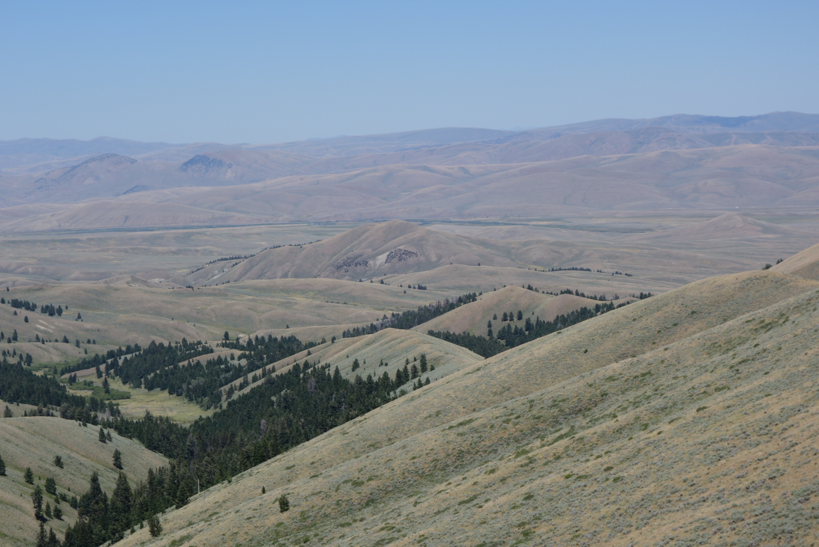
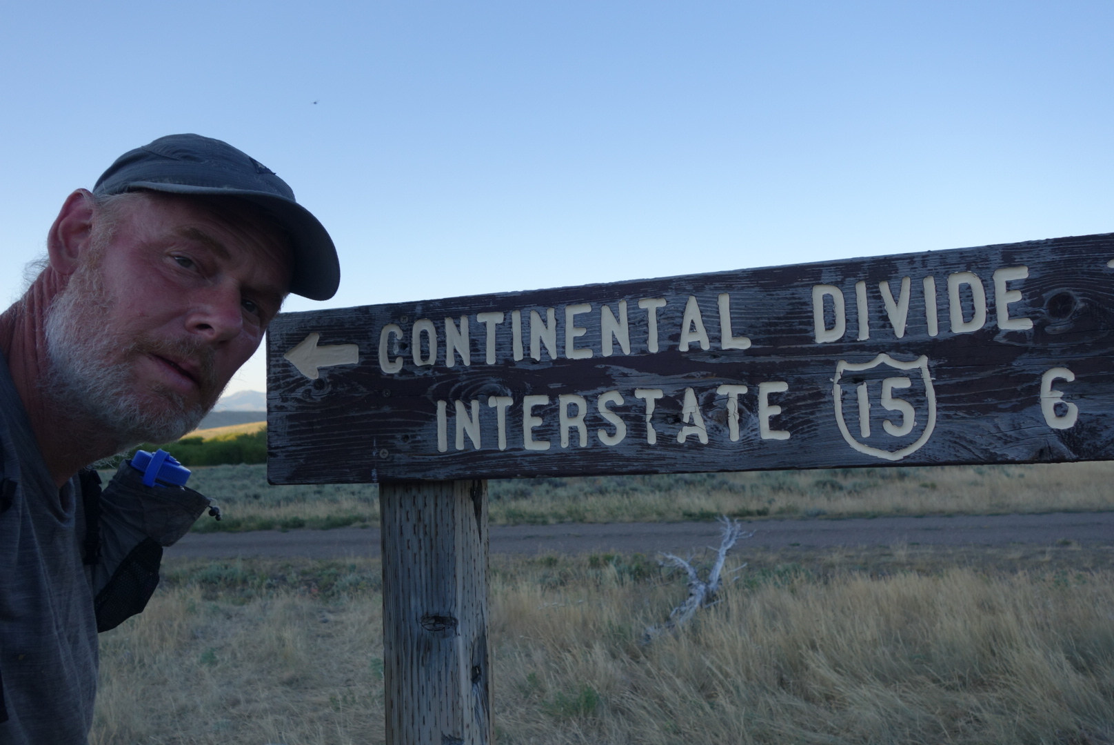
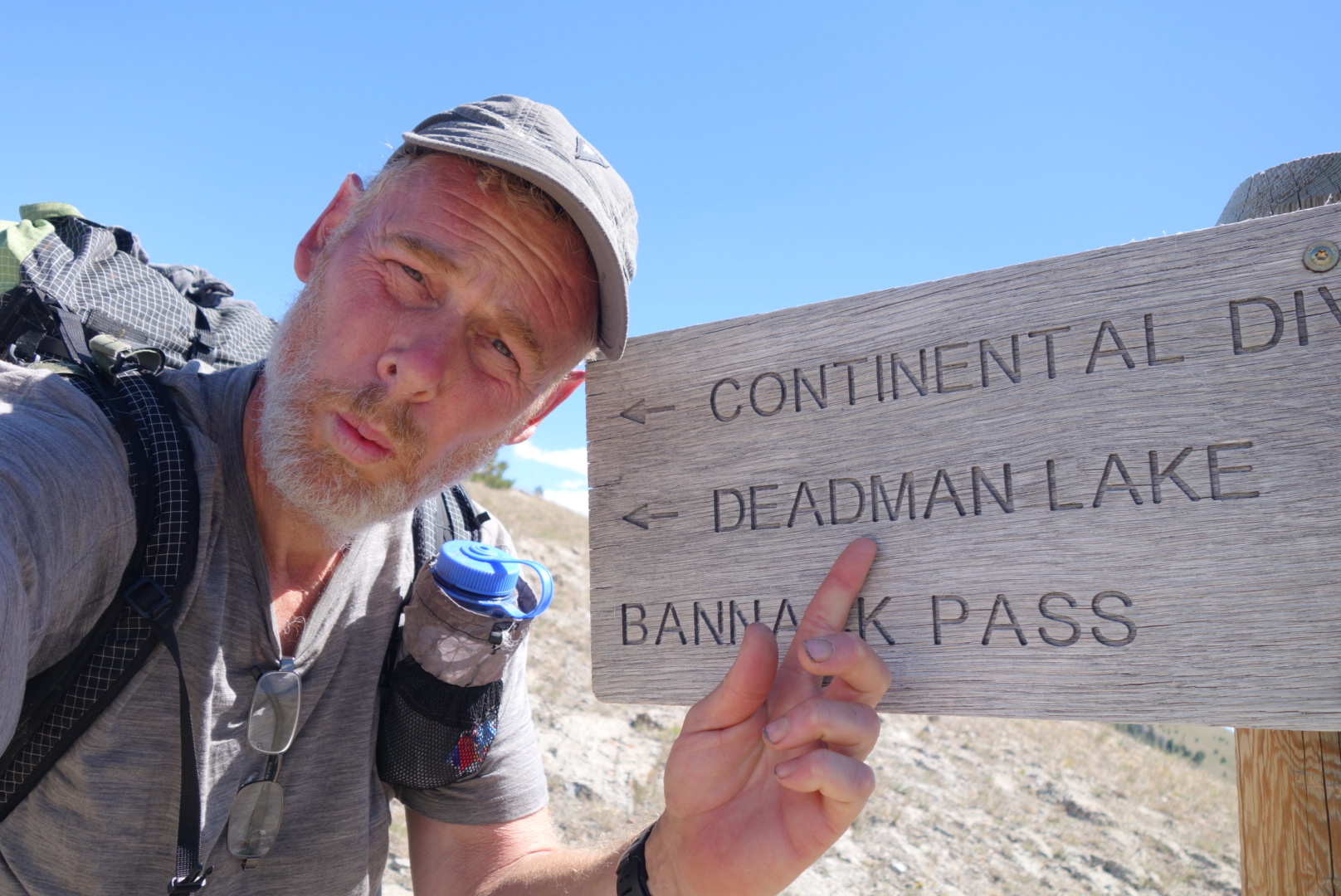
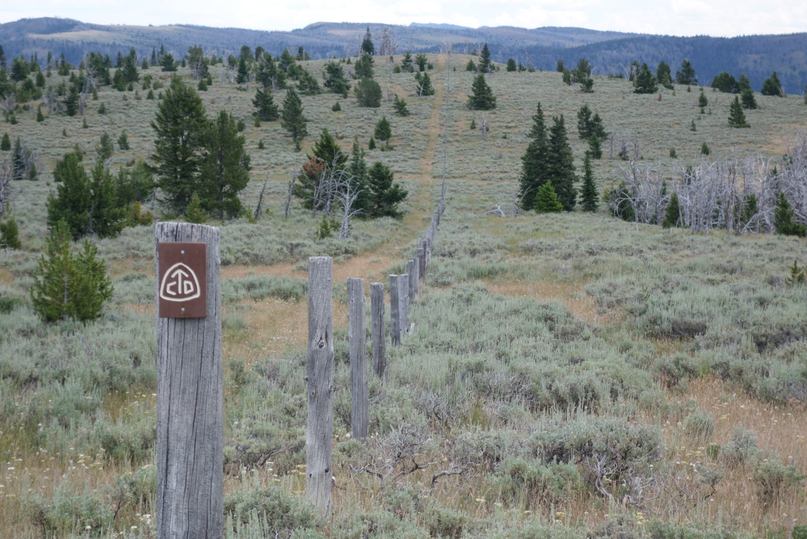
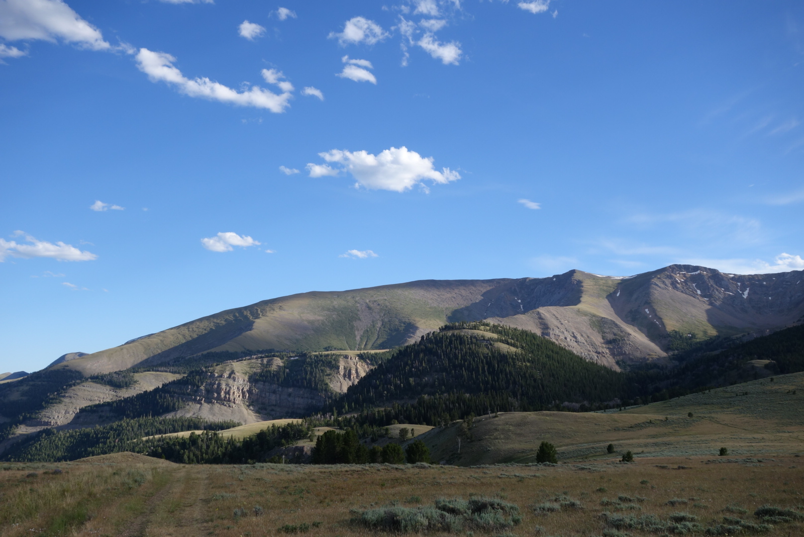
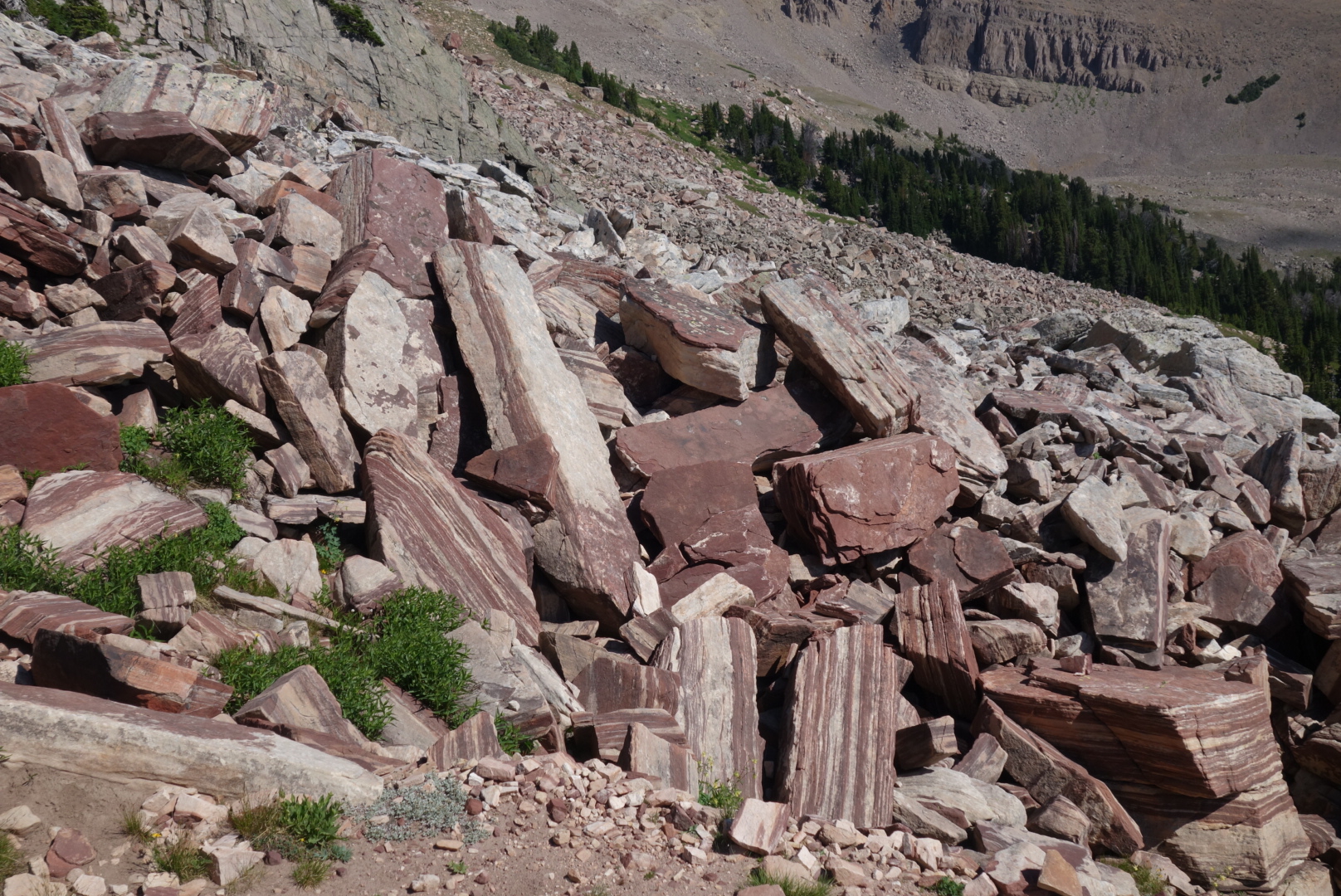
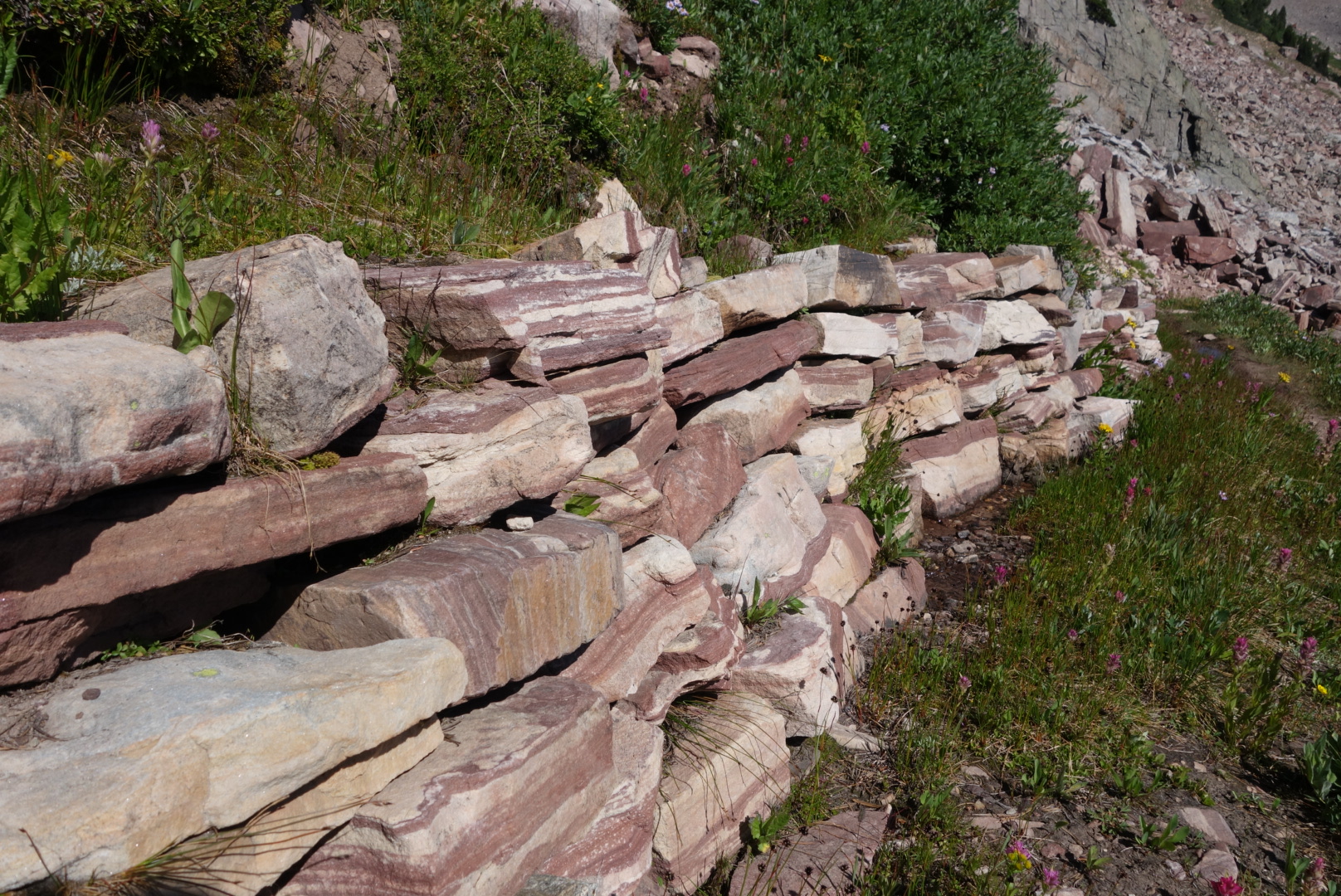
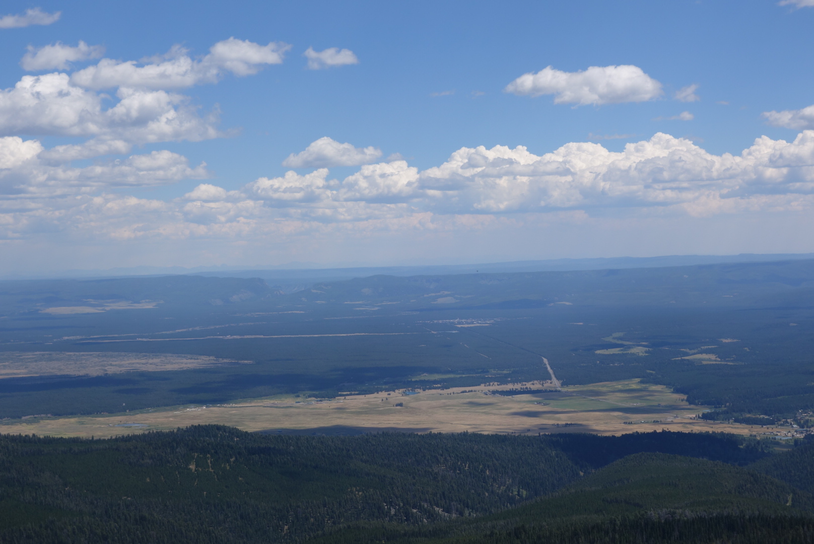
I  started the climb back up to the Continental Divide on the west side of the valley.  Even though the vegetation was the same, the geology was different as the rocks were more lava like. What an interesting geology in this area.

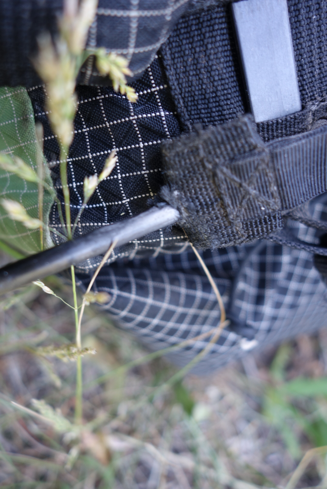
About 5 miles in to my climb, my backpack felt funny in the way it rode. I reached down and found one of the two carbon fiber sup port rods had poked through the support fabric.  I took off the pack and noticed the other one was about to tear through as well.

Basically, the support for my backpack is a rectangle with two horizontal bars and two carbon fiber vertical bars.  The vertial bars are able to flex allowing curvature so there is a gap along most of my back for ventilation.  It also distributes weight between shoulder straps (upper bar) and waistbelt  (lower bar). Unfortunately, friction and weight caused the rods to eat their way through the fabric. It is a design flaw, in my opinion, to expect fabric to support weight transferred through a rod tip.

The upshot was that I was stuck with a pack where all the weight would rest on my shoulders and run flush along my back. At first, I thought my trip was over. To put it in perspective,  I carry about 75 % of the weight on my hips and 25% on my shoulders.   

I was still able to get cell coverage.  The manufacturer, a small business, does not have a phone number.  I emailed a description, marked it urgent, and hoped for the best.

As I waited, I came up with a patch.  I was not going to stop or turn around if I could help it.  I cut off some off the strap that provides chest compression  (pulling the two shoulder straps towards each other across the upper chest). I folded the small piece of strap in half and stuck it over the tip.  It was bigger than the hole, so it served as a plug. After wrestling with the carbon fiber rod, I eventually got it in place and it held.  

Later, when I was able to get access, I received an email from the company saying they were short on staff and if the email was urgent, to mark it as such, and send it.  So I forwarded my urgent email with a second urgent and hoped for good news. This company does have a reputation of standing behind their products, so I was hopeful that I would not get the “send it in for repair” run around.

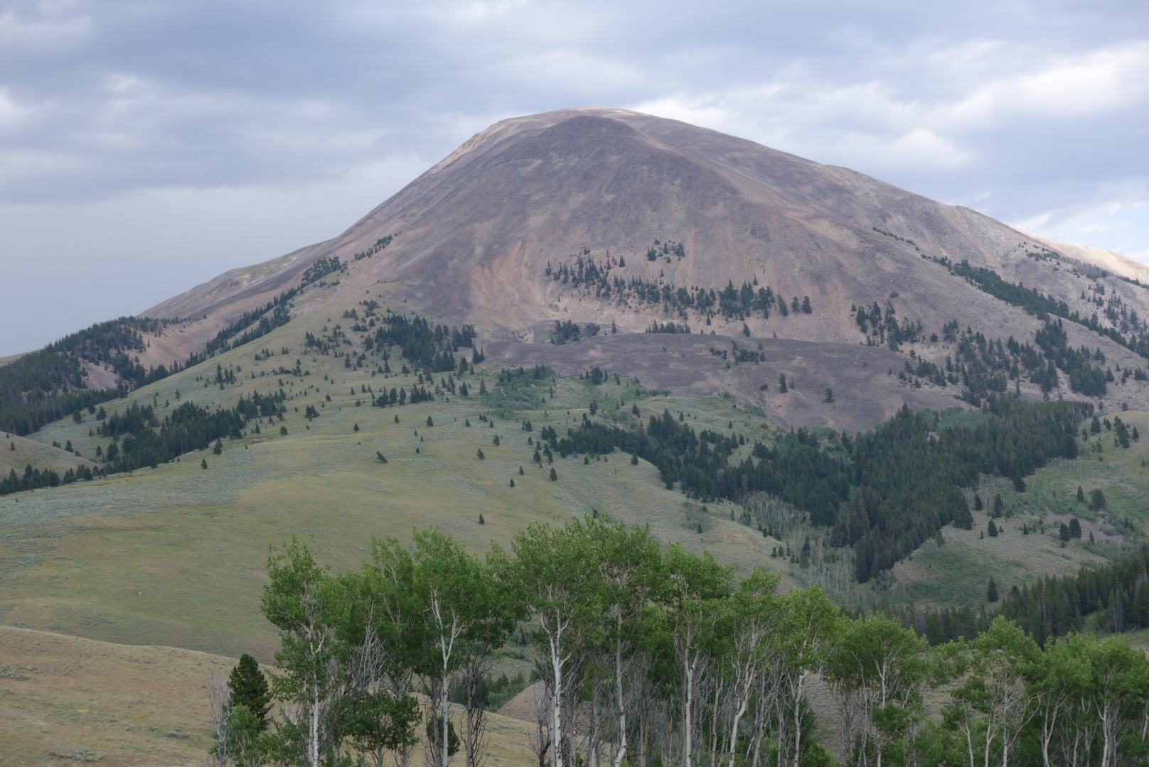
So, with a patch and a prayer, I set off again. First I was on top of Little Table Mountain then after a decline and climb I was walking along the top of Big Table Mountain. 

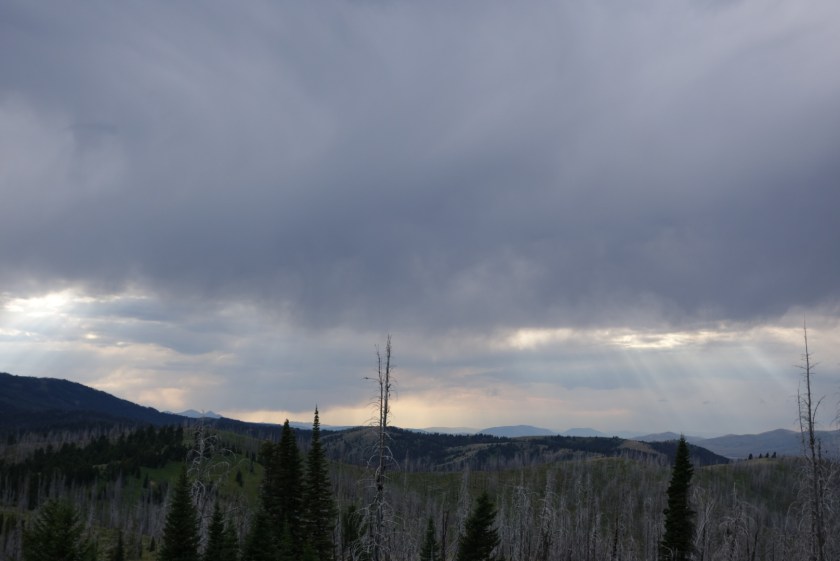
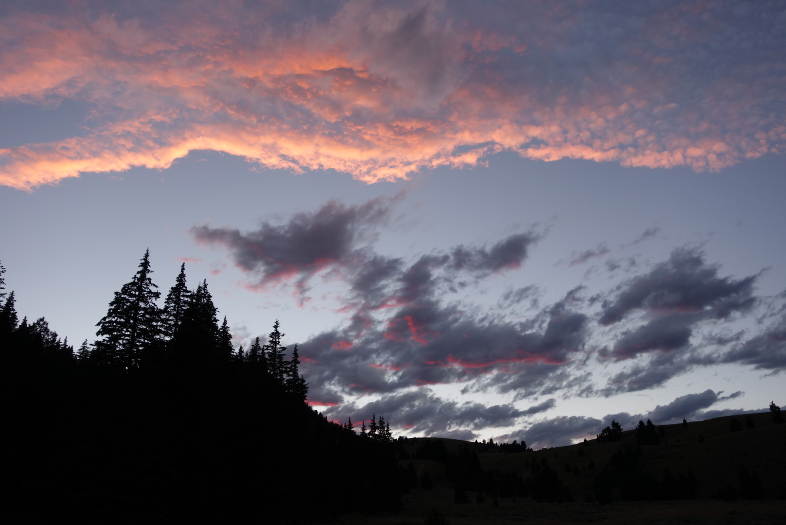
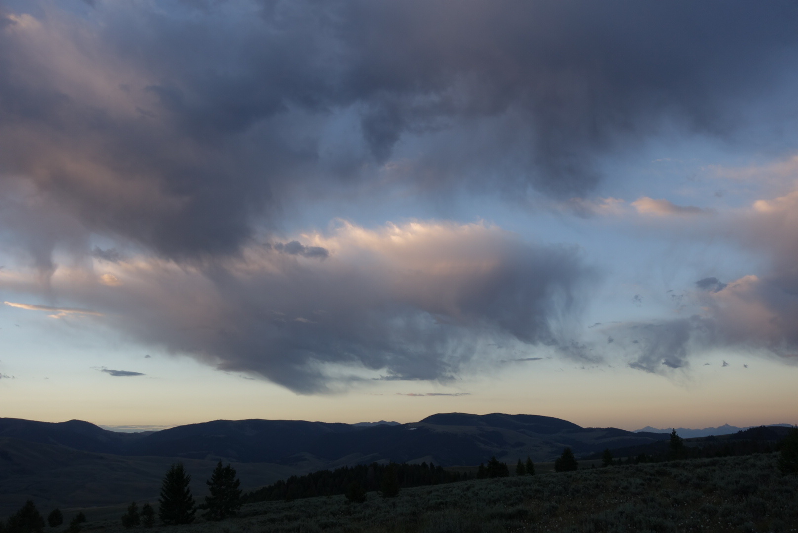
It was warm and some thunderstorms were developing, but they were always off in distance. This  had the twin effects of motivating me to get moving, but also to block the sun and cool things off.
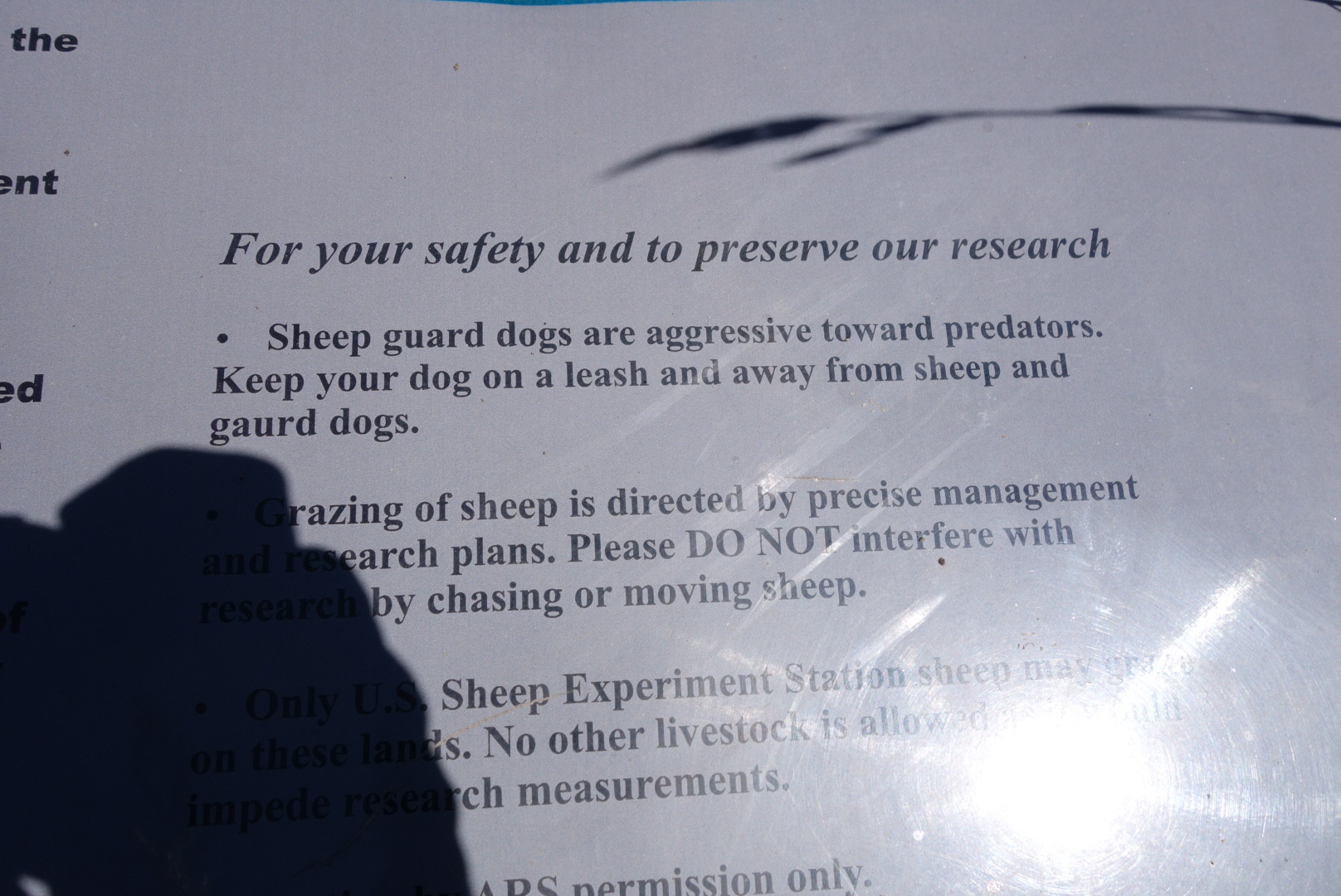
Generally, this is dry territory. Late in the day, I  made it to the last reliable springs.  Someone had developed it such that the spring water was routed through a pipe into a long trough.  I could barely make out sheep sounds in the distance and the trough must’ve been for them. Unfortunately, the spring water had a lingering sheep shit flavor, even after filtering.  Hello crystal light!

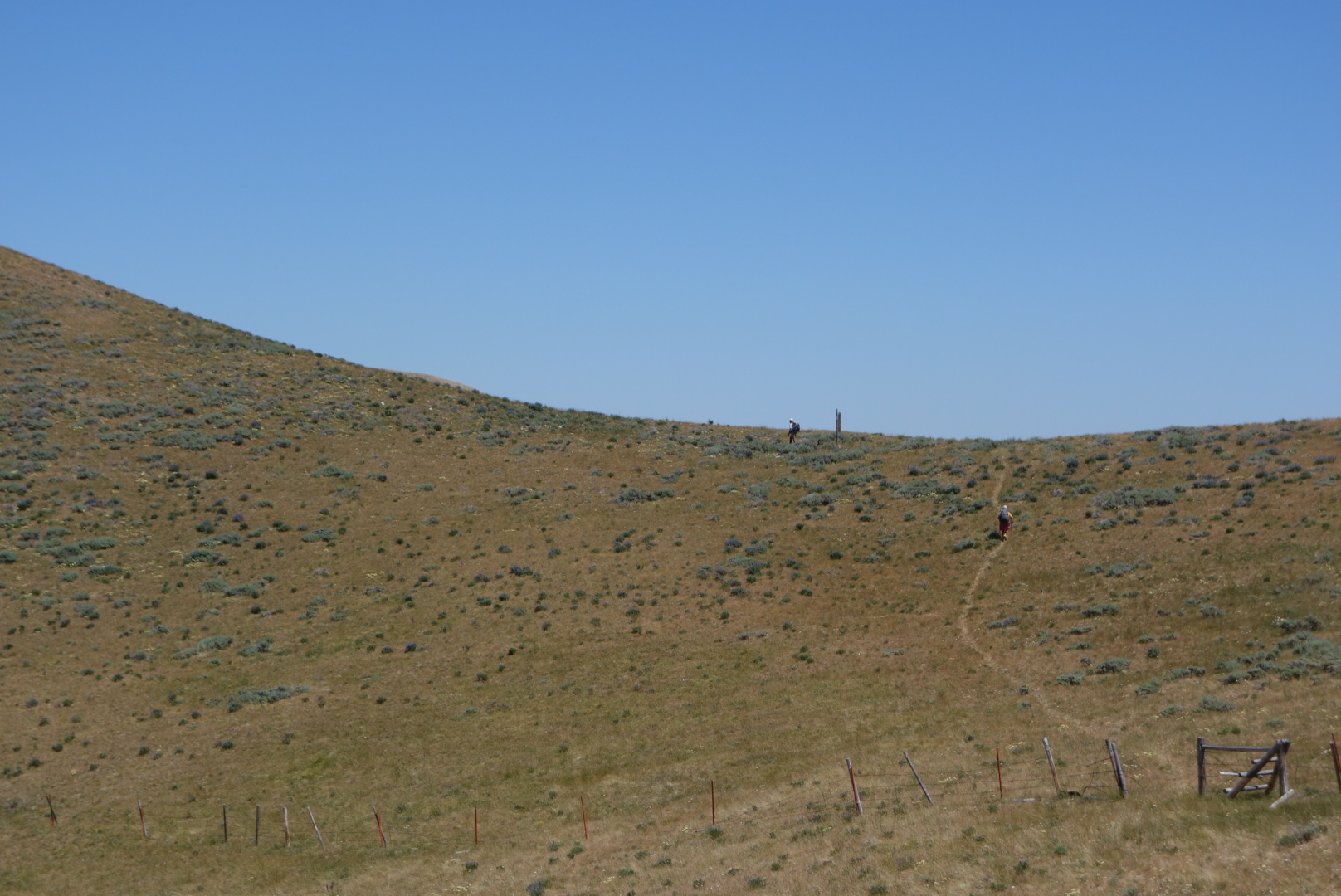
While filling up, Wash Pot and Moonbeam showed up. They started around 11 from Lima, so I was glad to have left when I did.

 I pushed on until 8:00 (met a lady from England going northbound) and found a campsite where someone had gone crazy cutting firewood.   Initially the mosquitos were very intense as I set up my tent.   However, just when I switched to cooking dinner the wind kicked in. This blew away the bugs, but made my little wood-burning stove a handful making sure I didn’t spread sparks.

Even though it was windy, I was able to fall asleep quickly.  If only I  hadn’t taken that midnight swig of sheep flavored water it would’ve been a great night’s sleep. 

Pretty Good Miles

July 21st

I was up early, showered, and packed.  I couldn’t wait to get back on the trail.  Eventually, we got to the trail around 8:30.  I downed a liter of water.  A younger couple rode up with Sam and I.  I let them take the lead.

Why is it never “cream puff canyon?”


It was a fairly steady climb in open country.   I  like this country, but one has to be cautious about water. Eventually, the breeze kicked in.  That cooled things off.  At one point, I came over a hill-top and saw two elk in the distance.  As I focused on them, it turned out they were both bulls.  Their antlers were big, but not huge.  They were grazing, facing in to the wind.  I thought for sure they would see me approach and bolt.  However, I kept getting closer and closer.  When I was within 100 yards, one of them spotted me.  They pranced around a bit and then bolted.  I could not get good still photos, but I captured some nice video.

There are two young bull elk in the distance.

It was getting late, but I thought I still had enough energy to make my stretch goal of Morrison Lake.  That would be 26 miles.  I went for it.  Around 8:15 I stumbled to the lake.  I found a campsite far away from the water.  I did not want to be near animal paths, especially bears.  It was a gorgeous sunset that I almost missed.  Plus, there was a full moon rising soon after sunset, but I could not figure out the adjustments to capture good photos.

I went to sleep pretty fast.

Morrison Lake sunset

Full moon rising

These Things Happen

July 22nd

Today was one of those days that would normally be considered frustrating, but you learn to accept the nature of backpacking and just accept.

First, I started walking through some cattle herds.  Some were skittish, but others seemed to think I was there to open a gate to let them into greener pastures.   A group started following me, which felt weird.


Stalkers. Probably follow my blog.
Later the trail became less well marked.  One of the mixed blessings of the Continental Divide is that there are several alternates.  On trails where only CDT hikers use the trail, alternates dilute traffic and therefore the tread is less visible. For me, open meadows/ fields are my undoing.  Fortunately, today these open areas  were hilltops, so even though there might not be specific tread to follow, a distant post with a CDT sign on it was good enough for navigation.

I finally got close to a herd of antelope.  I came to a cliff and looked down to see a decent sized herd.  Normally, they scan the horizon so diligently you cannot get close.  I guess they don’t look up.

Antelope below.


Later, still, I came to Cottonwood Mountain. Again, one map set encourages hikers to climb up and over the mountain.  The official trail went down a canyon then around the mountain.  Being old-fashioned, I went down the canyon.  The trail was non-existent and the posts very far apart.  Long story short, I turned downstream when I should’ve turned upstream.  I ended up off trail (note I never officially declare myself  “lost”) for about three hours.  That would normally be frustrating, but it gave me a good chance to appreciate the game trails.  These are the routes the animals make and follow.  Some are very good tread and find very efficient routes.  The elk ones are great because they are big enough for a human to walk on.  I did see several female elk and saw one bull grazing on a hillside.

Eventually I got back on track.  I had to walk through a big herd of cattle which led to a pseudo stampede.   I always try to be calm and move slowly, but once one cow freaks, very often the rest do.

I came down through sage brush to a beautiful creek called Tendoy.  The flies and mosquitos had been bad all day.  I was ready to call it a night.  I found a wooded campsite on a little hill away from the creek and set up camp.  I did meet two men on horseback that had been scouting elk for the hunting season ahead.  As I thought back on the day, I had hiked about 26 miles, but only about 21 were on the trail.

Sunshine through the donut cloud

Sheep Experimental Area

July 27th

I woke up to a pretty nice day, but a few warm gusts of wind up from the valley indicated it might get warm.   Soon, the other hikers (Kimchee, Moonbeam and Wash Pot) passed me. I enjoyed hiking with the latter two for awhile.  We got separated in, you guessed it,  a meadow.  Stupid me followed a sign that said CDT, but the route had changed.

While bushwhacking to get back on trail, I ran across a large moose antler.  I am told people pay good money for these.  However, it was heavy and I was not going to carry it.  It was impressive to realize that moose grow these, carry them, and then shed them.

The forest in the morning was very impressive.  It was one where some huge old trees had been logged in the past 20 or so years.  However, the loggers had left other large trees.  So the forest had the feel of openness, had the gravity of big trees, and would be able to provide large valuable trees in the near future.  Compared to clear cutting, this made so much more sense.

One of the southbound hikers ahead of us had sent Wash Pot a message saying we were entering a 10 + mile stretch with no water.  We had to fill up at Aldus Lake and the next water would not be until a later lake.  I caught up to them at Aldus Lake, dutifully filtered 4 liters of water, and started hiking.  Every time I passed a creek or spring, I wondered whether this person knew that it was legal to get water from sources other than lakes.  By late afternoon there was about a five mile stretch with no water, but carrying unnecessary water is annoying.

We had been going in and out of the US Department of Agriculture Experimental Sheep Station.  There was a sign explaining roughly what was going on.  It is intending to improve the stock and also see what plants the sheep eat. During the two day walk through the area, it seemed to me the most successful experiment they conducted was to make the sheep invisible.  Never saw a one. (Of the several signs explaining Experimental Sheep Station activities, they all misspelled “gaurd dogs.”)

There was a long series of climbs to finish the day.  What great views.  Water, of course was scarce on these ridges, but the views made up for it.  I passed two sets of northbounders, they looked pretty ragged.

The mosquitoes really amped up late in the day.  It finally got to the point where I stopped and broke out the DEET spray.  Normally, I can tough it out until camp and then put on my wind shirt and rain pants.  At last, I came to the trail juncture where water was alleged to come from a spring.  I was glad to see  three of the four speedy hikers had set up camp in a cluster of trees and also that the spring flowed fast and cool out of the side of the mountain.


I set up camp as it grew dark.  There were thunderheads on the horizon, but clear skies overhead.  It was not clear if we would stay clear or deal with lightning on the Divide. 

After dark, a bull elk started practicing his call. He needed the practice because it sounded awful. 

Closer Than I Thought

July 28th.


It was stormy all night.  On both sides of the ridge, thunderstorms were raining down on the valleys below.  Up top, it got very windy.  My Zpacks Altaplex tent did a pretty good job shedding the wind.  The tent stake holding the one support pole came up around 11:00, so I fixed that and re-tightened everything.  I did not sleep well because of the wind, but I was extremely grateful the lightning had stayed away and that my tent performed well.

I was groggy and broke camp a little slow.  I saw the last of the others going over the first ridge.  I knew I would not see them again. I actually hiked really well.  At a trail juncture, I stuck with the official route and visited Lillian Lake.  It could easily have been called Maggie’s Mud Puddle.  The plus side was a beautiful spring less than a mile later.  Perhaps it seems odd, but I love springs.  The idea that cold, pure water just gushes up out of the earth is astounding.  This one had great volume and created a green ribbon of vegetation as it made a short trip to Hell Roaring Creek.

Eventually, I made my way down to Red Rock Pass.  I met a Continental Divide biker on the dirt road.  In response to his question, I explained I was a southbound CDT hiker. He asked me what route I was following.  I showed him the trail I was getting on.  He asked “You know that is going north?” That is the beauty of this trail.  To go south you go north.  (The reason it goes north is to get around Henry’s Lake.)

It was a hot afternoon with a gradual ascent through cattle grazing areas.  It occurred to me that I was doing pretty well.  I stopped and got my maps out.  It seemed that there was good news and bad news.  The good news was that I could reach West Yellowstone a day early and add a zero day.  The bad news was that my Yellowstone permit was off.

Helen performed a miracle and got me a motel and a ride into town.  This was in spite of it being a weekend in a National Park.  I was so happy.  It sure made hiking a lot easier knowing a zero day was ahead.


It was hot, dry hiking in the afternoon.  The water sources were not listed as confident.  Plus, there were no “great” camping spots.  I crossed the main highway and started up the trail.  After crossing many dry creek beds, I came across one gushing water.  That was great.  Two mountain bikers came by.

At last I crossed a pretty good stream.  I would follow it up to its headwaters the next day.  It was a steep valley, so campsites were not easy.  I eventually found a place.  After I was set up, I noticed nearby there was a pile of deer fur.  No bones, just fur.  Hmm?


I was so tired from the hike and the windy night before, I eagerly crawled in to my sleeping bag and fell asleep right away.


Two Climbs and a Town Visit

July 29th

I slept amazingly well for a backpacking trip.

Today’s main features would be two steep climbs, tempered by switch backs. The first was from the creek I was on up to one pass.  Later, there would be another getting me to the peak where I could see tons of lakes and forests.

A switchback is tricky.  Too gradual and there is too much energy wasted going horizontally with little elevation gain. Too steep and energy is wasted going uphill but having to stop and catch your breath.  

The first switchback was a little too long, but it was a great way to start the day.  There were some stones that were layered in red and white.  It seemed like a great color  and pattern for stone countertops. 

    This combination of colors in rock was catchy and not seen anywhere else on the trail. Almost like a peppermint and white chocolate candy.

    I descended into grassy meadows with spots of forests. Several spring creeks appeared and provided delicious water.  

    The flowers made the long switchback more enjoyable.

    As I was starting the second switchback, I met two mountain bikers.  They were the same two from yesterday.  We visited for a bit.  They seemed intrigued with hiking the CDT.   I cannot imagine mountain biking this trail. 

    After the second switchback, which was just perfect, I reached some amazing views. Lakes, forest, West Yellowstone,  the notch in the caldera where the highway enters the park.

    Looking down at West Yellowstone

    The hike down wasn’t that great after the initial views. I reached the Targee Pass but could not get a Verizon signal. Eventually I got a signal and reached the motel.  About 2 hours after reaching the Pass I was cleaned up and getting dinner number 1.

    West Yellowstone is a major tourist town and it was quite overwhelming after having largely been by myself for a while. 


    While I was waiting, 3 times cars stopped, people got out, and photos were taken. I offered once to take a family picture, but I was declined in favor of a selfie stick.

    A Day in Town

    July 20th

    I was wiped out from the night and got to the desolate Bannock PassPass over an hour before my scheduled pick up.

    No Internet or cell signal.  I started to update blog posts since I would soon be near power.  However, in the warm morning sun, I  dozed off.  I awoke to a large bull elk moving rapidly uphill through the cattle field.  The steers were making noise, but it was unclear whether they were cheers or jeers as the elk easily jumped the barbed wire fence forming the prison around the cattle.

    Town was great. I had a huge breakfast, took a nap, and had a huge dinner.  The only restaurant in town was interesting.  I ordered an omelet and the deep fried french toast.   After about 10 minutes the cook/ waitress asked me if I wanted eggs.  I said definitely and to put them in the omelet.

    When I had Internet access, I did some research and found that deep fried french toast is only legal because of state fairs.  Without the audacity of state fair food, it would be too dangerous. It was four sizzling crispy slabs of French toast, each dotted with a tablespoon of butter.  That I ate it plus the omelet and the hash browns was fairly impressive and disgusting at once.

    I resupplied, napped and had dinner.  At dinner, I was more conservative.  There were a few other hikers in town.  I made arrangements with the motel owner (Sam) for a ride back to the trail in the morning.

    Leadore is a nice hiker town.  It is dry and in a big valley devoted to ranching.  I’m not sure a car based traveler would relish it as much as a hiker