No People, the Washed Masses, No People 

August 11th

I started cruising early.  I was startled to see a large animal, but quickly realized it was a horse and then I saw the owner.  He was an outfitter and one of his horses was injured.  He was struggling with how to handle his customers and an animal needing veterinary care.  I think he was going to be ok.

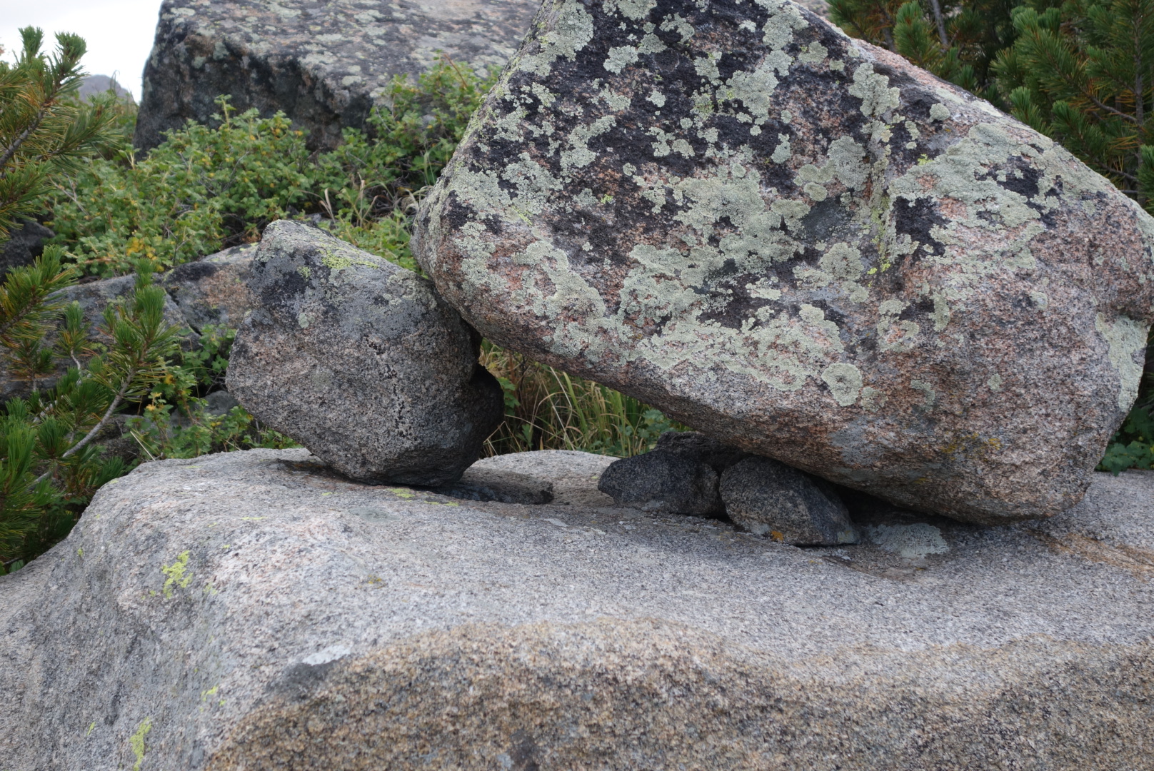
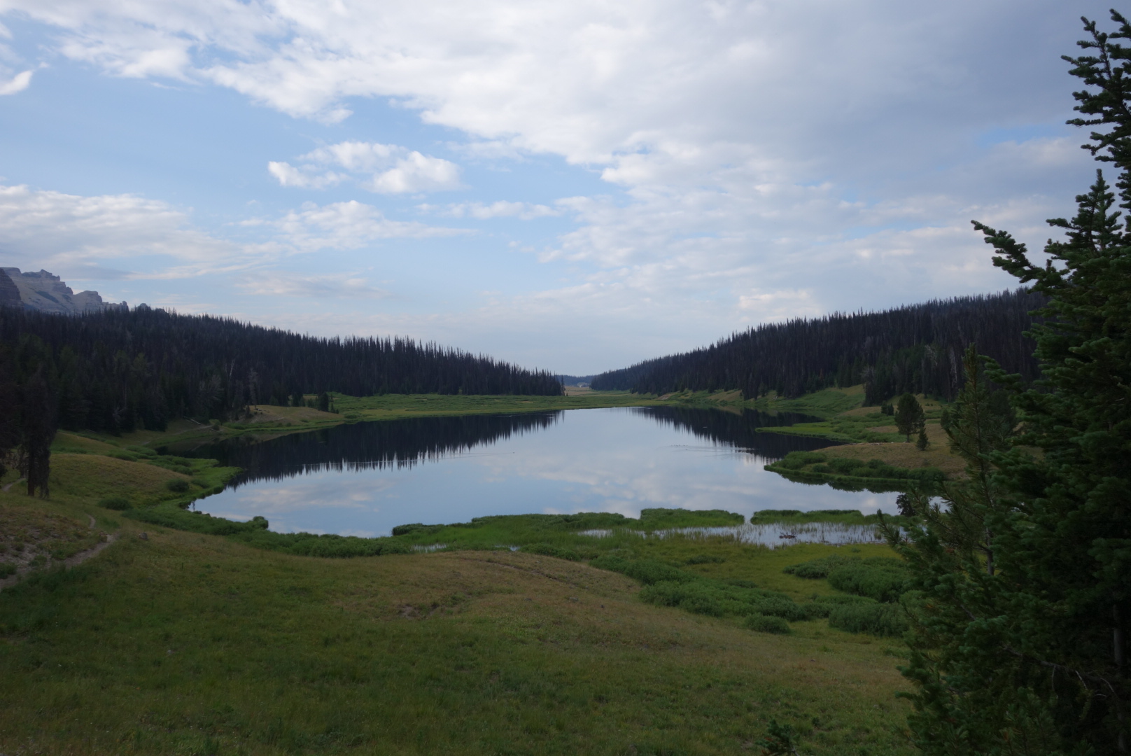
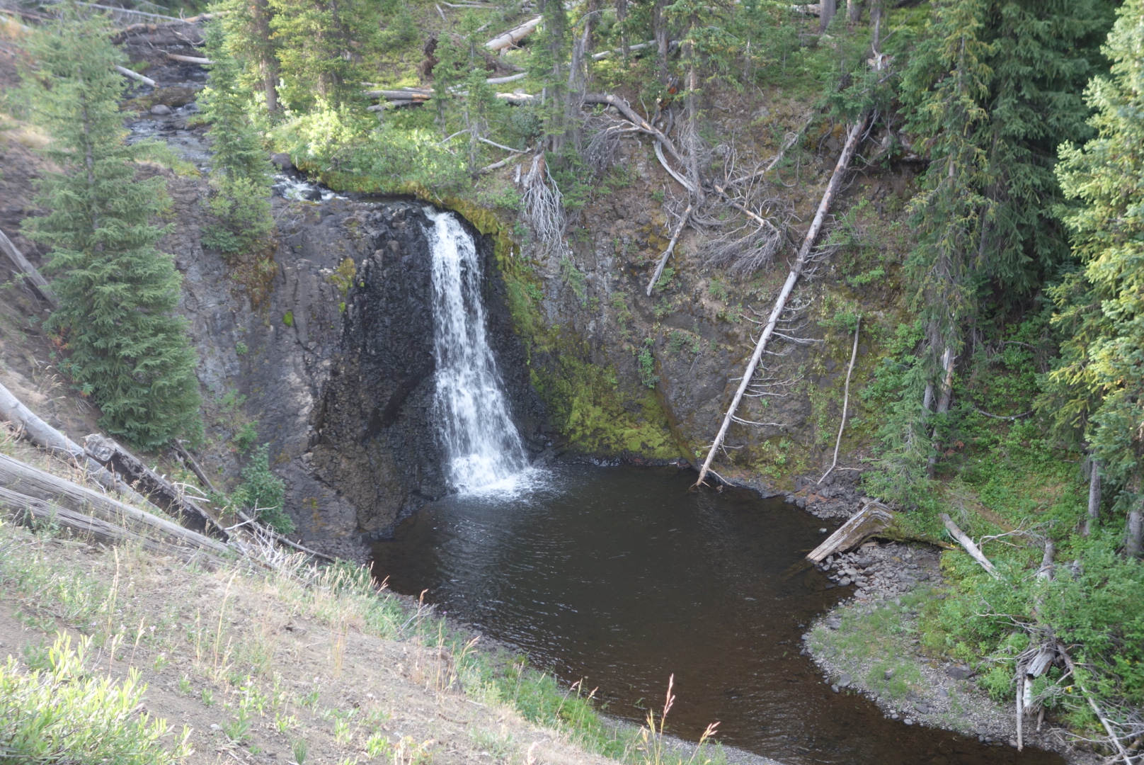
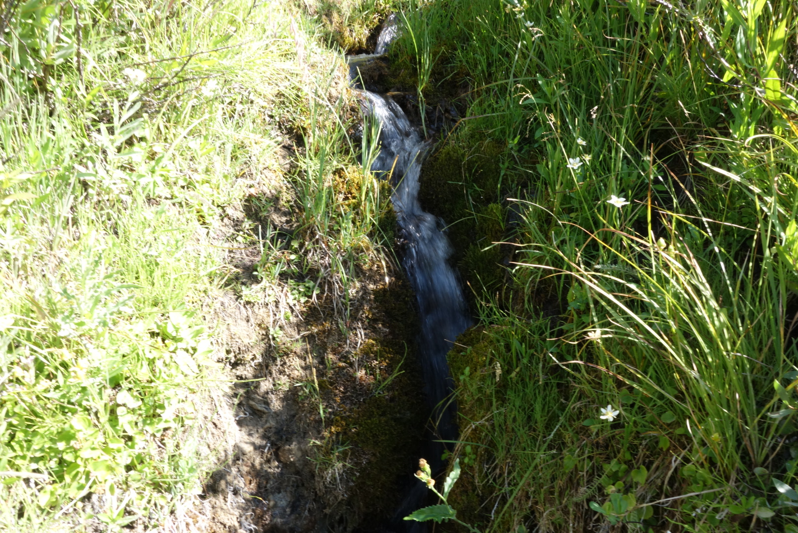
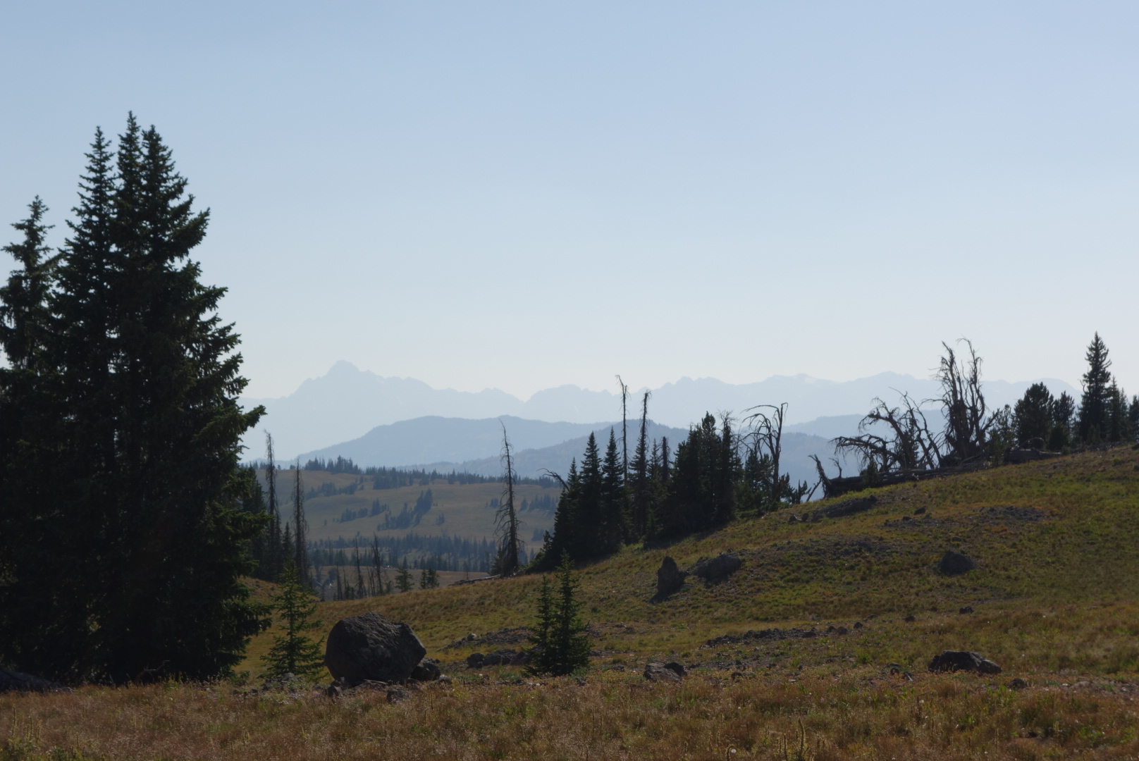
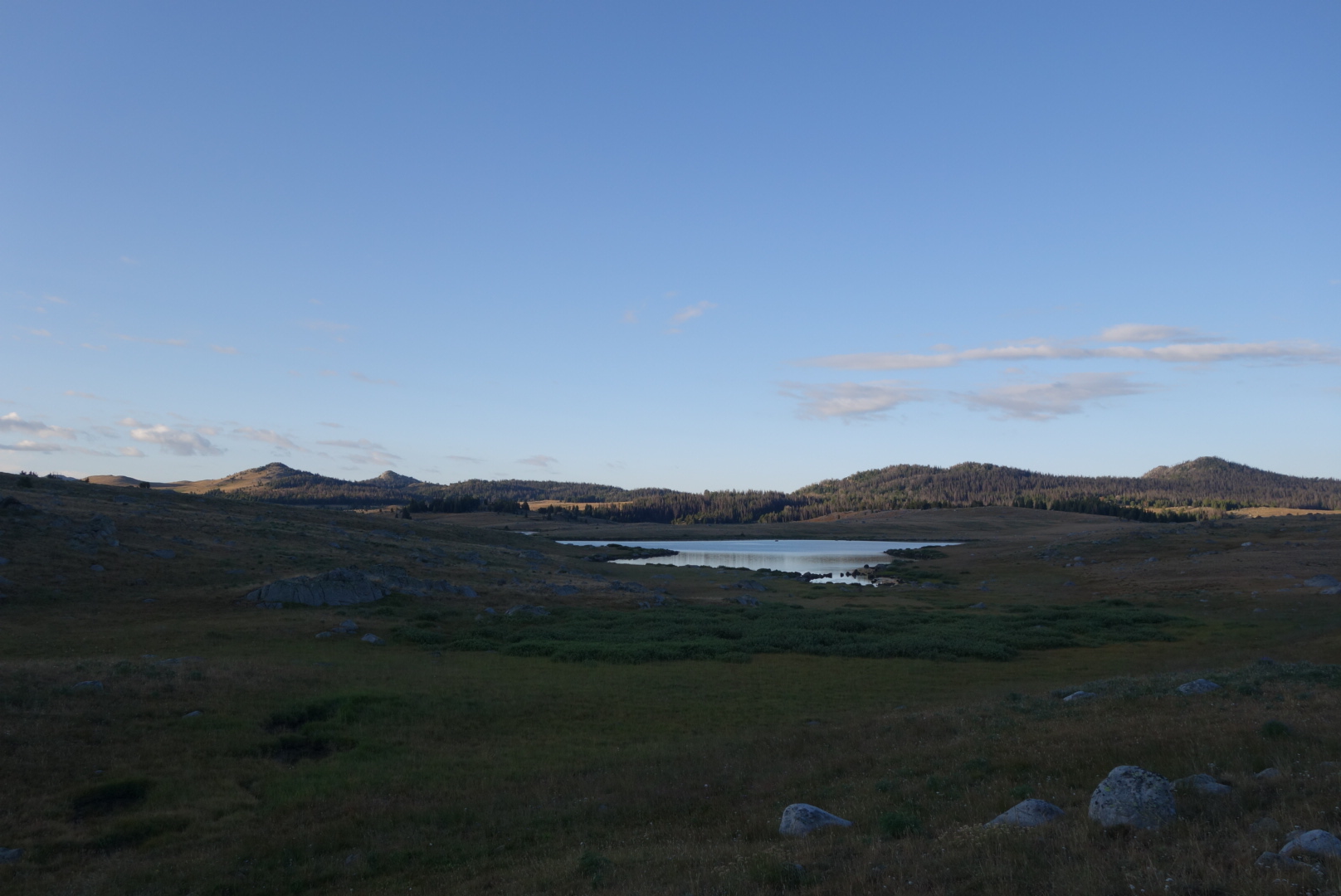
More of the same terrain: nice streams and lakes with rising trout and then some steep hills. I would love to come back to fly fish someday.

Looking up to the Wind River Range

At Dad’s Lake ran into a couple groups in rapid succession. The first group looked like a boy scout group.  The second seemed more like a family.

A little later, the flood gates opened.  I kept encountering groups of hikers.  I guessed I was near a trail head.  To give you a sense of how long I’ve been out, I could almost always smell them; they smelled like soap and deoderant and shampoo.  Ok, I guess, if you are in to that kind of stuff.  I’m sure they had ripe words to describe my “essence.”

My favorite moment was when there was a guy approaching me from across a field. Usually, the minimum protocol involved in the backwoods is to at least say “howdy” and move on.  This guy avoided eye contact and did not respond to my greeting.  Geez.  It’s not like we were in Manhattan.

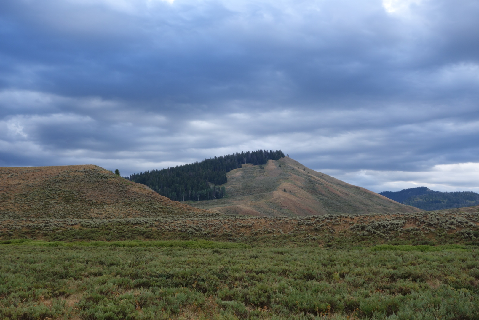
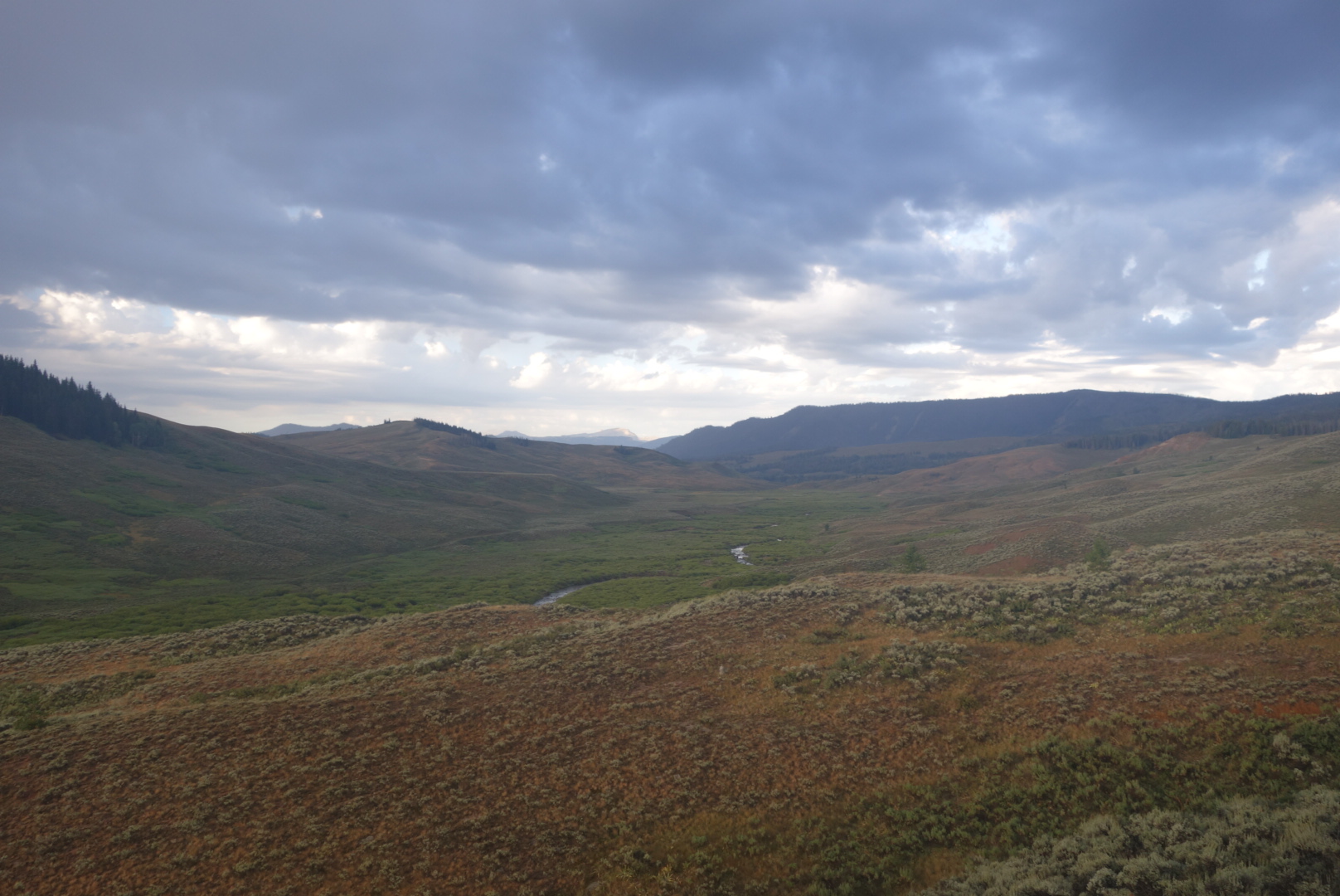
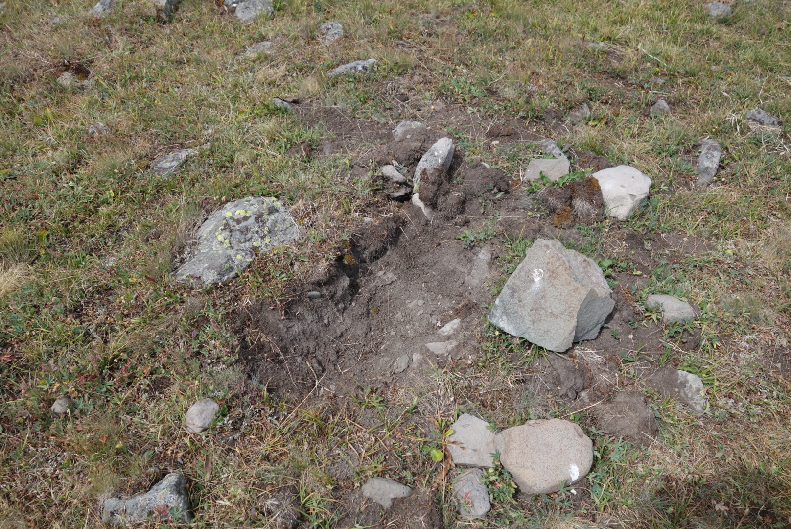
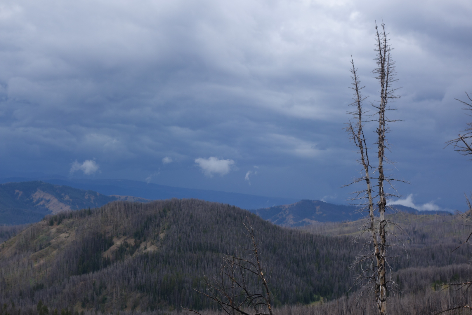
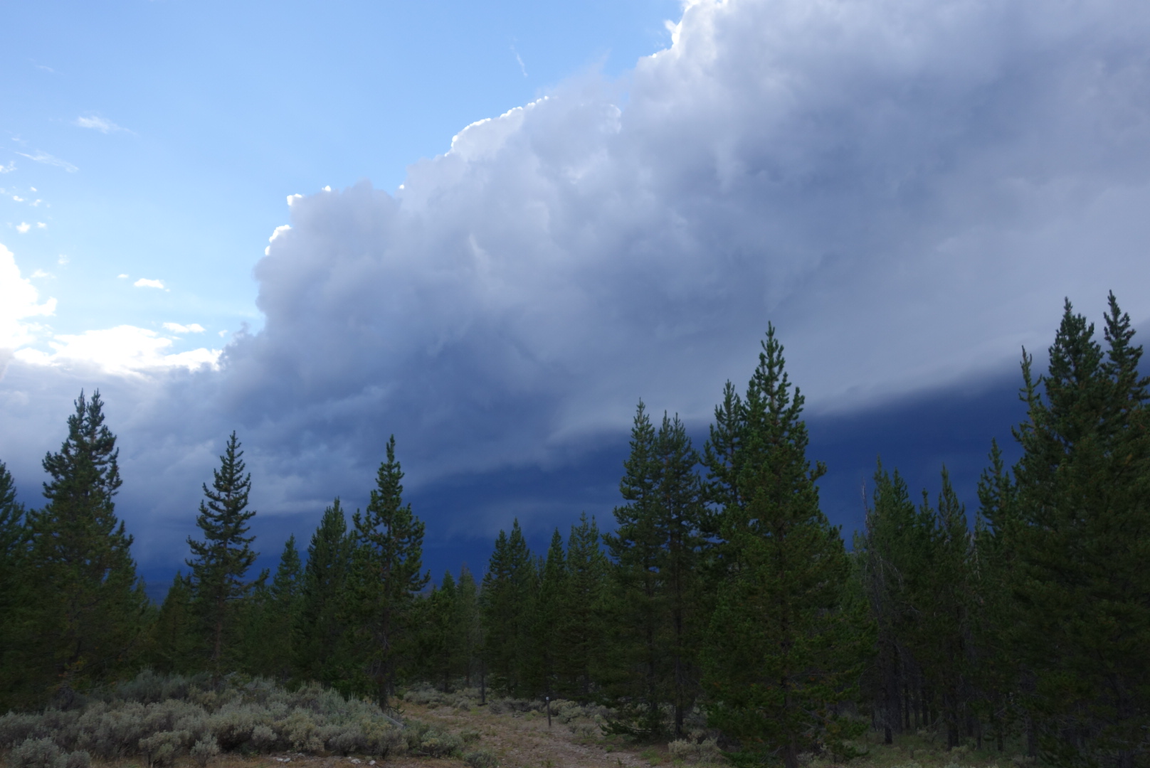
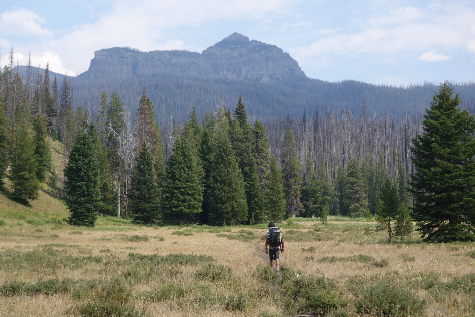
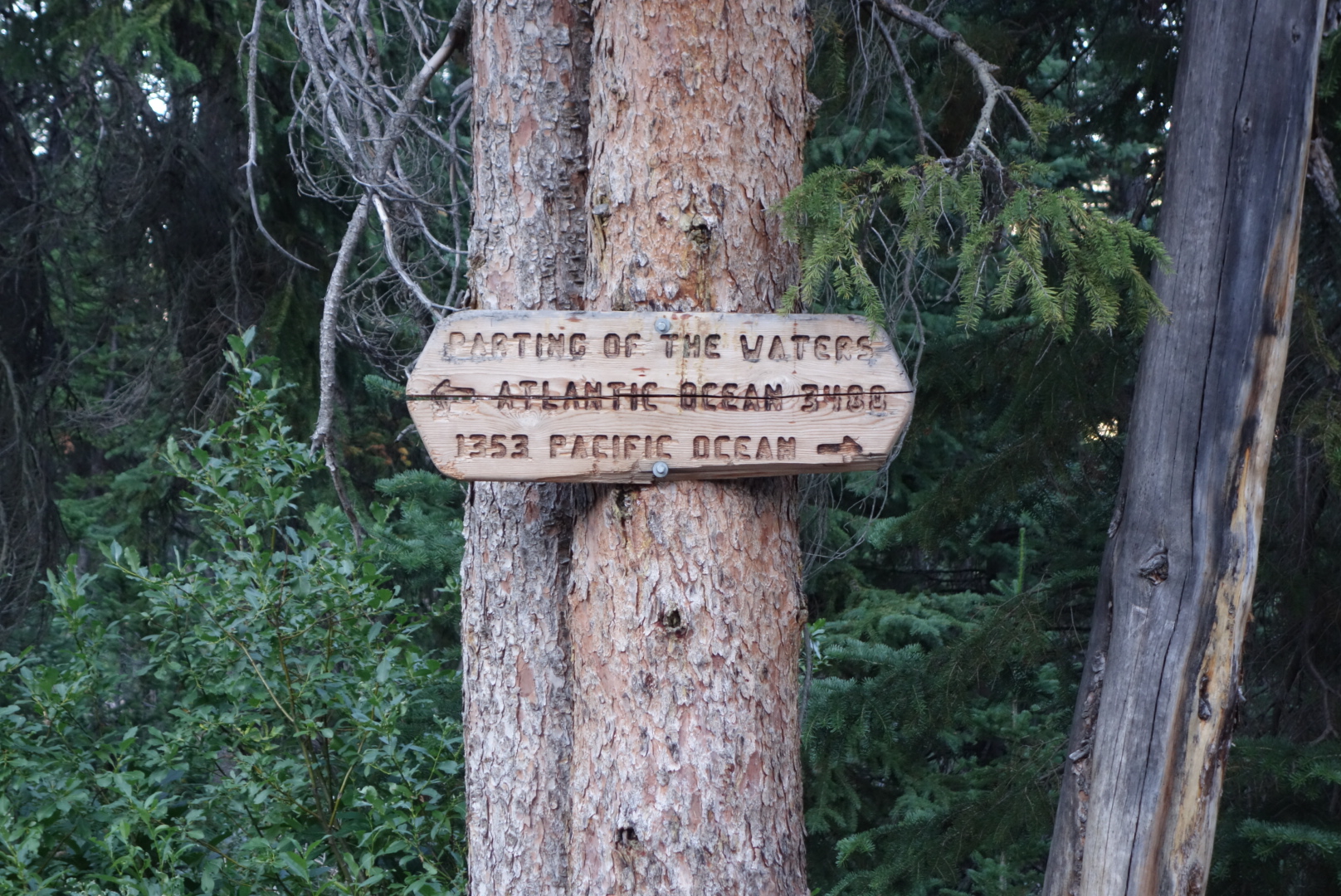
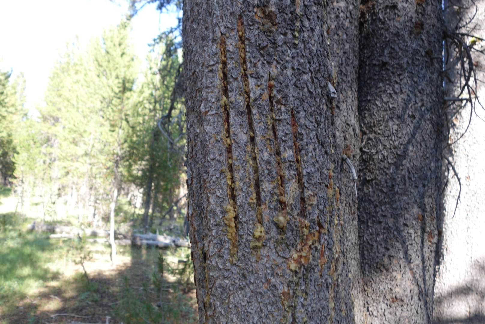
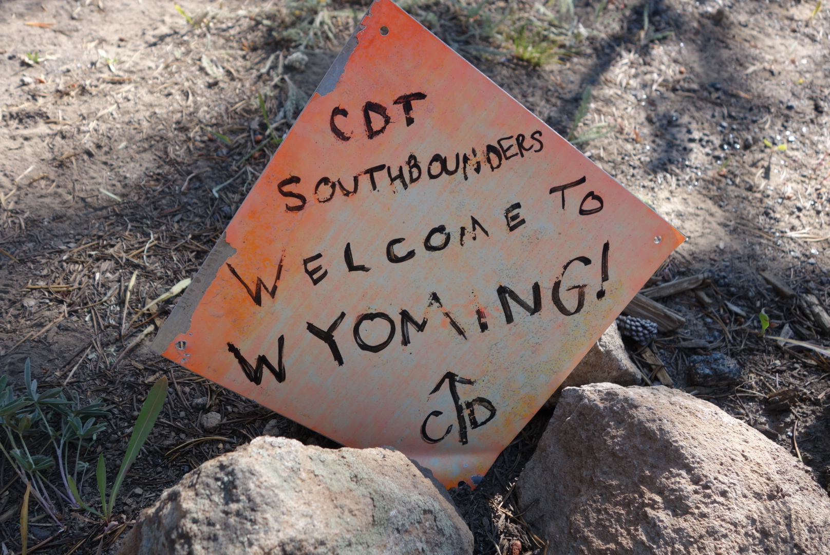
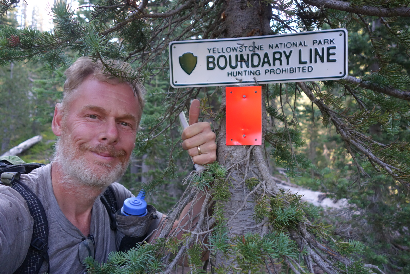
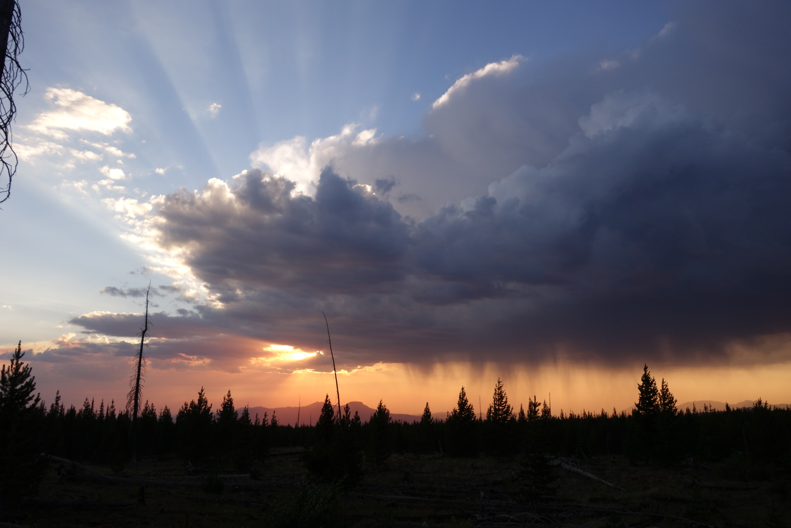
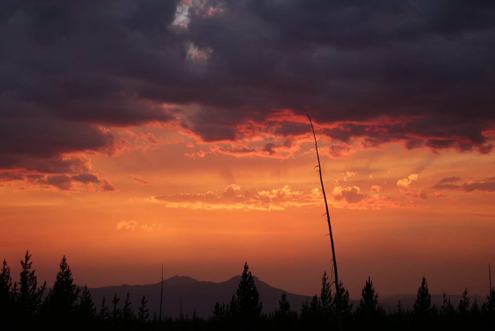
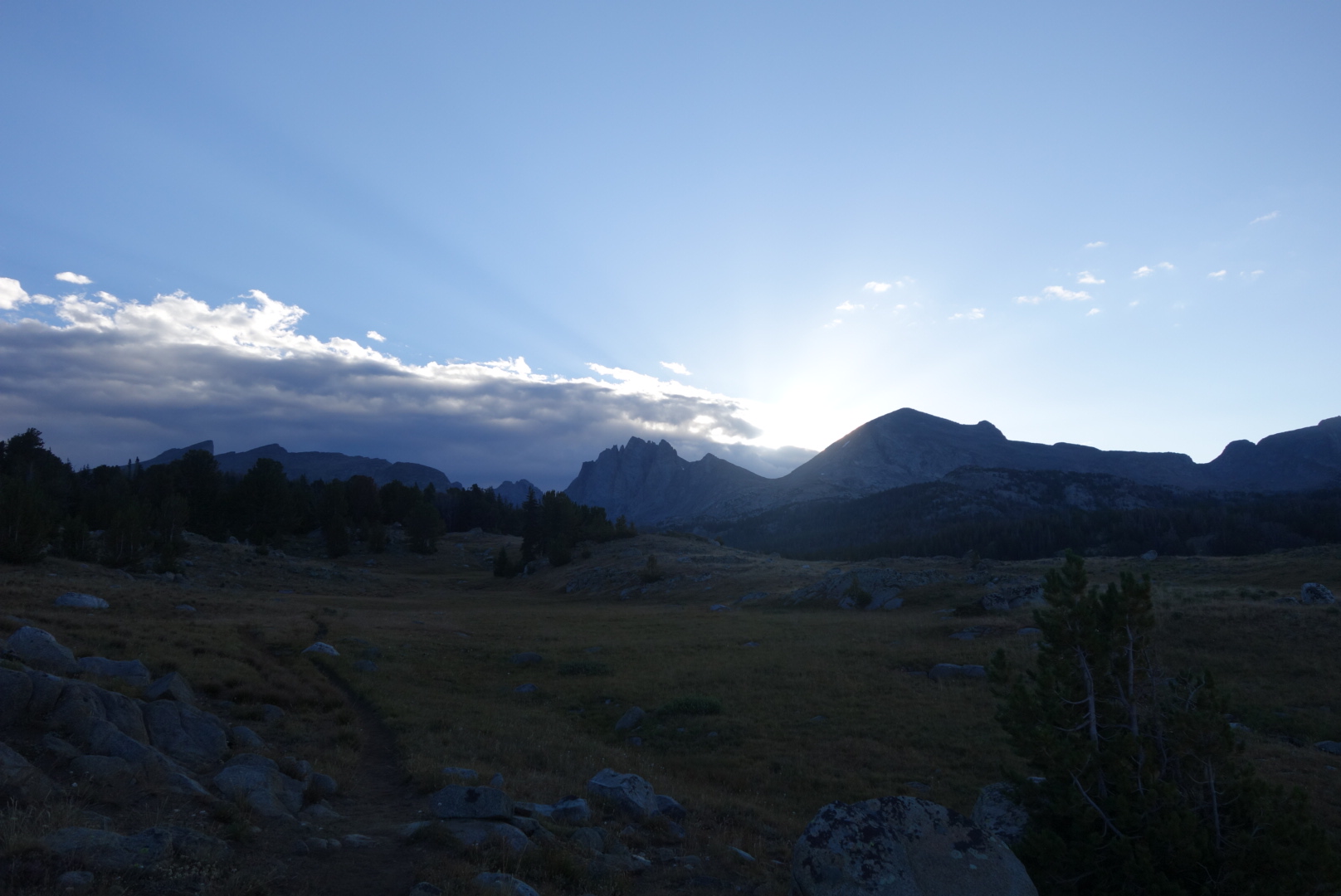
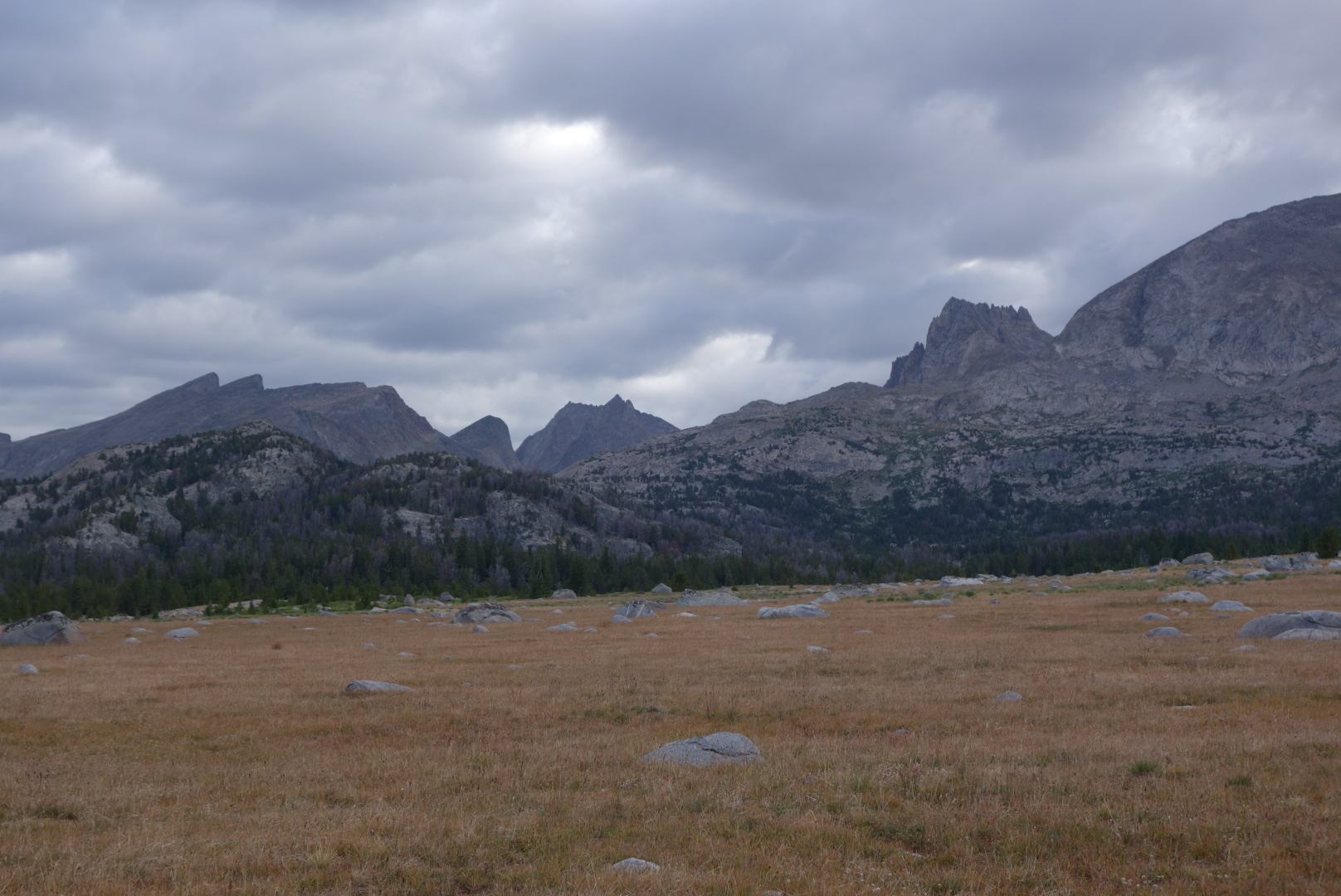
I moved past the main trailhead and the people stopped.  I was on the official trail.  Most CDT hikers take an alternate to the Cirque de Towers.  It is a high bowl surrounded by sharp peaks.  Some people consider it spectacular. By the lack of tread and foot prints, I could tell I made a minority decision by not goingto the Cirque.  At first, there were periodic CDT signs.  Later, the signs stopped and the trail started looking like a game trail.  There were sections where cattle were allowed to roam.  My Ley maps were not helpful.  I finally used my Earthmate phone application and it showed me I was on trail.  I camped at the very peak of a hill.  I was able to eat my dinner and look out over the valley below.  A storm was unfolding about 10 miles away and it was cool to watch the rain and lightening roll past.


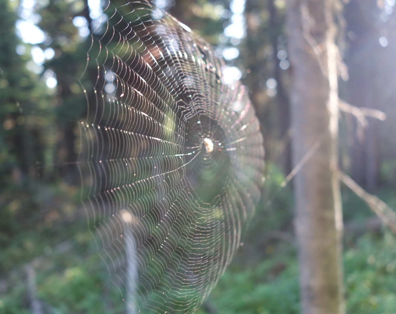
It was another super quiet forest but after some time I was able to ignore the silence and fall asleep.


Differing erosion rates create these unusual rock formations

Fire Re-route

August 6th

Being a light sleeper, I heard Qtip moving around so I got going in the dark.  It is easier than you might think to break camp and hike with just headlamps.  We only needed the headlamps for the first mile.

When I hike with Qtip, I like to let him lead, not just for his spider web catching abilities (for which I am thankful), but he is a good pathfinder.  He doesn’t look at his phone every three minutes to find the route, rather, he has good instincts.

Just before dawn, we came to a clearing and up about 40 feet ahead were two huge bull elk on the trail.  I whispered to Qtip to stop, but the elk also heard me.  We only got a few seconds glimpse before they were gone.

The area around Brooks Lake is notorious for being bear country.  Backpackers think of the National Parks as the two locations for bears.  However, the literacy rate among bears is terrible and they leave the Park boundary all the time.  On our way to Brooks Lake there were many signs, but no sightings.

The valley where Brooks Lake is located is beautful.  Sharp, striking moutains rising on both sides. A beautiful valley of meadows and lakes.  Honestly, it was more attractive than many of the more famous places on the trail.


I picked up my resupply at Brooks Lake Lodge.  The staff there were all very friendly and helpful.  The kitchen staff even offered some extra cinnamon rolls they had leftover.  I tried to charge my battery as much as possible.  I was down pretty low on all my electronics and it would be another 7 days before I could get charged again.

Hiking out after a resupply is tough.  I basically have about 2.5 pounds of food for every day. So, a 7 day resupply is over 15 pounds.  With a busted backpack, this made for some tough going early on.

There was a fire burning near the official trail.  A re-route had been devised.  However, getting information on the new route was difficult.  Northbounders had different descriptions.  However, what eventually made sense was to simply follow the Ley map red route.

I walked along the forest service road from the Lodge.  There were plenty of springs along the way.   Next, I walked along the freeway for a mile, and finally I left the highway at Togwotee Pass.  At the high altitude, the terrain alternated between open grass, clumps of trees, and, where there was water, small alders and willows.

I was pleasantly surprised at how often there were springs, initially.  After a few miles of walking on forest road (ATV, really),  I realized I had walked past my junctions where I was supposed to turn on an “old jeep trail”.  I turned around and was surprised to see the footprints of the fast four.  I hoped I could catch up with them.

The “old jeep trail” was totally nonexistent.  It was late and I was grumpy.  But, as I’ve learned, my attitude about the trail has absolutely no influence on the trail.  So, I just bushwhacked to where I thought the trail should be.  Eventually, I found it.  Later, I met a couple who were northbound and they had similar issues coming from the other direction.

I spent the afternoon hiking through burned out forest, clumps of untouched trees, and some open meadows.  The trail eventually followed an abandoned road.  All afternoon, clouds had been building, so I planned to get to water and then a place away from potential storms.

As I dropped out of the forest to Fish Creek, the trees got sparse.  It was open sage country for the most part.  I walked past a canvas tent with 2 horses corralled outside.  Later, as I was scurrying to find a campsite, I met the people who had the canvas tent.  It was a man and his son.  They were in a red steel wagon and they were being pulled by two beautiful horses.  After the usual chit-chat about the trail and what they were doing, he informed me the horses were from Central Park.  They had been used to draw carriages around the NYC park, were auctioned off, and ended up in the middle of nowhere.

Eventually, I found a clump of trees on the side of a ridge with a flat spot.  I got my tent up as the main storm blew through.  It did not rain after that so I had a great night’s sleep.

A Weather-driven Day

August 7th

The day broke clear and dry.  I cruised initially.  However, once I went up one of the less used valleys to follow a creek, the trail got muddled.  The tread was just a notch better than a game trail.  I got soaked pretty good from the previous night’s rainfall that came off the grass and shrubs.

I eventually made it to Sheridan Pass.  That is the location where the re-route ended, so I was back on the official route.  Yeah! Right nearby s bear had dug up some large rocks looking for varmints to eat. 

A bear had dug up these rocks looking for varmints.

Unfortunately, the weather turned unpleasant.  It was mostly just rain, but batches of lightning and thunder would come along.  Of course, this was just as I was walking along a ridge line.  I know lightning is dangerous, but when it is far away, I’ll keep hiking in the rain.  I carry a lightweight umbrella and it was a stellar performer.

What’s coming my way…

No smile.

While the umbrella protects my head, upper torso , and pack, it doesn’t do much for legs and feet.  My rain pants work great.  However, my shoes, were not doing so well.  I could tell that they were going to come apart soon.  I tried to get internet access to order some on line, but no luck.  Fortunately, I was able to reach Helen who ordered a replacement pair even though she was traveling.

After one hellish hail / lightening / rain outburst, it cleared for a while.  I passed another hiker who had pitched her tent to wait out the storm.  She was outside trying to decide if she should stay or go.  Above us it was clear blue, but over towards the Wind River Range, a monster thunderhead was developing.

I eventually made it to my goal.  It was Bull Moose Creek.  I was intrigued with the forest.  It had either burned or been logged about 30 years ago.  However, this was the first replacement forest I had noticed which was symmetrical.  That is, the trees were spaced evenly apart and in rows.  It took some getting used to having the trees move by in what appeared to be rows.  It made me curios to know whether this method was more effecient than natural re-population.

It was getting towards natural sunset, but the thunderhead was definitely headed my way.  I hurried to get my tent pitched, although there were not too many good spots. Just after I got it all secured, the skies opened up.  I ate a cold, rehydrated meal in my tent.  Due to its possibility of attracting bears, food in my tent is a no-no, but I didn’t have much of a choice.

This reached me at dusk.


After the storm passed through, the moon came out.  Also, the elk came out in a nearby meadow.  The bulls were practicing their bugles.  I can’t decide which way to best describe these early season efforts.  My first thought was humpback whales, but as the youngsters tried to copy the elders, it struck me as the Vienna Boys choir going through puberty.

Eventually got used to the sounds of the elk and the rain drops falling from the trees onto my tent.


Buffalo River

August 5th

Qtip caught me fairly early.  Lucky was not with him, but we hoped he would catch up.

We were in heavily used horse country in the morning. Forested hills, open valleys and creeks in the middle.  It was great hiking. One horse riding couple gave me 2 oranges.  Fresh fruit tastes so good on the trail.


Around 11:30 I encountered another horse group.  There were two men, a woman, and a younger rider.  They had a small dog leading them.  Apparently the dog’s name was Grizzly. The lead rider said “Stop, Grizzly, stop” when the dog saw me and started barking.  The lead rider asked if I was hiking the trail, I said yes, and he said “You’re f**king nuts, man!”  He asked some questions and then went on.  Both he and the other man were riding their horses with ice cold beers in hand.

Around midday we broke off the horse route. We went through a burn area and the heat with no shade made things tougher for me.  We crossed into some non burn area. I had Qtip stop so he could see that a medium sized bear had been using the trail before him.  Later, there was some very fresh scat.

We had one final climb as it was getting dark.  We climbed Cub Pass and scrounged up campsites.  Qtip was going to get up early to get to town (Dubois). I offered to join him.  Partly I was motivated to get to my resupply at Brooks Lodge, but I was also thinking 2 pre-dawn hikers in bear country made sense.

Rubbing marks. Either elk or deer were using this tree to rub their antlers. It both marks territory and peels off the velvet covering.

Leaving Yellowstone 

August 4th

The morning hike out of the park was uneventful. The trail is mostly open country running above the river.  Later, there were some broad, beautiful meadows where I would’ve expected to see a moose. 


One thing which struck me was how few beaver dams there have been.  I’m not sure if that’s a legacy issue from the fur trader days, but it seems like beavers would thrive in these valleys. 

There are two different patrol cabins at the southern edge of the park. Neither was staffed.

My pack had another failure where the support rod punched through. I tried my fieldbrepair, but in the process of pulling the rod into place, it broke. I tried to splint the rod, but no luck.  Now, I had a backpack that did not distribute weight evenly.  I was angry at first, but I reminded myself that I wanted an adventure and this would just make things all the more interesting. 

I climbed up out the Yellowstone area.  I could feel the altitude.  Eventually, I reached an unnamed peak at over 10,000. A very faint cell signal appeared so I stopped to see if I could check in with society. About 15 minutes later, Qtip shows up.  He said Lucky  was with him.


They were going to camp on the peak.  It was tremendous.  You could see the Winds, the Tetons, and other mountain ranges.  However, I still had another hour to go so I left to hike down the mountain. 

I ended up at a famous creek. It’s called Two Ocean Creek because it splits and one fork empties into the Atlantic  (via the Gulf of Mexico) and the other empties into the Pacific.

I camped nearby.  A doe developed a crush on me and kept coming to my campsite.  It actually got annoying after I got in the tent and she would crunch her way cloder.  Finally, I scared her off for good.

The Nobo Herd

August 3rd 

I was packed and hiking by 6.  I met my first northbounder within an hour, a hint of what was to come that day

The map warned of a waist high river ford, but it was barely up to my shins.  It was mostly boring terrain.  There were trees, but since the large fire in  the 90’s, they were not impressive.

My trail led through the Heart Lake geyser basin. On this trip I developed a much greater appreciation for the sheer number of geothermal outlets in the park.  I met several Nobos and many folks on shorter trips.

Around Heart Lake I was on heightened bear alert.  Alongside the trail, almost every older toppled log was torn apart.  This is a bear sign. A larger, older log that has laid on the ground for a few years decays and becomes an inviting home for insects.  With their keen sense of smell, sharp claws, and strength  the bears rip open the logs and eat.  This section looked like it was a buffet line.


I counted 16 Nobos  that day.  Most were in good spirits.  A few were kind of worn down. I hoped I wouldn’t look like that in New Mexico.  Regardless, this was probably the northbound bubble and I would see fewer of them with each passing day.

Towards the end of the day I went back to open, dry terrain along the Snake River.  I had to ford it about one hour from my campsite. True to its name, when I was about halfway across I noticed a snake in the water right near me.  It was whitish with a pink stripe and dove under water to avoid me.

My last campsite was near the river. It had one other tent site, but I had the place to myself.  I got my chores done early and got into my tent.  It was interesting to watch the smaller birds feed and get ready for the night.

Old Faithful 

August 2nd

Qtip was up and walking by 5 am.  He wanted to alter his permit at Old Faithful Village.  I  was glad because he was taller than me and would thus clear out all the spiderwebs.

I was hiking by 6. I descended to the main geyser basin near Old Faithful Village.  I had been here before with my family about 5 years earlier. It was cool to be there early before the crowds. 


I did eventually encounter the crowd as I neared the central visitors center.  I entered hoping to charge my electronics  in light of a long stretch.  However, over each outlet was a sign warning me that the park service did not allow the use of their outlets for “security” reasons. I can’t imagine the national security threat posed by backpackers charging their phones, but obviously someone made such a compelling case they were able to puchase signs.

I went to the grocery store and got some fruit and junk food.    In addition to Fritos, I purchased a couple candy bars, hard boiled eggs, and premade sandwiches.  

Once out of the village, I was on the type of trail I had expected: wide, well maintained and marked.   I passed a few families out hiking, some people fly fishing, and one backpacker.  

I met a trail crew.  Mostly younger folks doing this as a summer job.  About half seemed enthusiastic, the others seemed grumpy given the work and the heat.

In the afternoon I came across a designated campsite sign.  It indicated campfires were prohibited there.  Walking up to take a snack break, I was surprised to see not just a fire pit, but smoke coming from it.  Recently, somebody had a fire there, but stupidly sought to put it out by pushing forest floor on top.  In dry conditions, the forest floor is mostly pine needles. It took two trips to the nearby stream to get enough water to deeply soak the smoldering mound.

It was a long hike to my second designated site.  Unfortunately, part of the trail was a bog, so I got both feet soaked.  

One interesting sight was a tree with a park service trail marker about 10 feet high.  Below that, a bear had scratched the tree marking it as the bear’s territory as well.


I was bracing myself for a noisier campsite since this one allowed up to 8 tents.  When I arrived around 7:30, I had it all to myself, including the luxurious pit toilet. 

I slept really well. 

First Day in Yellowstone 

August 1st

I was eager to get going.  Only 1 liter to get me the 12 miles to my official Yellowstone campsite at Summit Lake.

I entered the park boundary fairly early. For some reason I was expecting a national park trail to be top notch. It was not. Lots of blowdowns and few markers.  Perhaps because CDT hikers are the primary users of this portion, the park service can  skip maintenance knowing the main users can find their way.

I upped my “Hey bear” call outs.  I saw very little wildlife. Eventually, I started getting whiffs of sulfur and I knew I was getting closer to my camp.

By noon, I reached Summit Lake. The designated campsite was not where the maps said it would be. However, I eventually found it, drank lots of water, and set up camp.  I enjoyed the luxury of a nap.

I met the other camper at the site, Qtip, and eventually went to bed early.

The still night was interrupted by some strange calls from the nearby woods.  It was like a dog’s bark, but much deeper and less sharp.  I got out of my tent but could not see anything.  Whatever made the sound was moving and eventually it stopped.  

Approach to Yellowstone 

July 31st 

The motel owner gave me a ride to the trail.  I was weighed down with my resupply.  The air was hazy.  We couldn’t tell if the smoke was from yesterday’s thunderstorm sparking a new fire or if this came from the bigger fire in Wyoming.

The initial climb up from the highway was nice.  There was water in the tiny streams. I could see the footprints of the group of four for sevetal miles, but as the trail elevated and the land dried out, their tread disappeared. This was another part of the CDT where there were alternates. 

I took the higher “official” route. It was less traveled and paralleled a snowmobile trail.  I saw a family out on their off road vehicles, but otherwise I did not see any people all morning.


The trail soon joined an old rail bed. This route was popular with off road enthusiasts and I saw several. There was a side-by-side (an off road vehicle with two seats in front and two in back) stopped at the intersection leading to my last probable water source.  I asked them if there was water up the side road. They said everything was dry.  

The trail climbed away from the railroad bed and eventually became a snowmobile trail behind a locked gate.  There were a few long straight stretches.  The terrain looked as if it had been logged 30 years ago, with smaller sparse trees.  

One of the long straight stretches

I ran in to a few northbounders through the late afternoon. Based on what they knew from southbounders in front of me, I blew my last chance at water by believing the off-roaders; there was water down the side road. Two were from Israel and one was from Korea.  This is truly an international attraction.

As the light faded, I searched for a campsite. There were some thunderstorms in the area but I found a clearing that had level ground, a tree for hanging food away from bears, and a sunset view. 

Zero Day in West Yellowstone

July 30th

I’m in this strange existence where sleeping indoors is as difficult as outdoors. Those closest to me know I’m a bit of an insomniac; usually getting about 5 0r 6 hours sleep each city night.  Now, on the trail, I go to sleep around 9:30.  I usually wake up every few hours to turn over.  Perhaps longer or shorter  depending upon the weather, animal noises (real or not), and the number of sticks, rocks, and pine cones I missed while clearing a space for my tent.

Now, when I try to sleep in an enclosed room, I awaken even more often. This is a touch frustrating since I associate a town visit with four things: food, shower, sleep, and resupply. 

I waited outside the West Yellowstone Visitor Center to change my backcountry permit.  To ensure first-in-line status, I arrived about 15 minutes early.  I noted the large print saying it would open at 8:00.  Then, I endured that awkward social experience of people coming up, walking past me, looking at the door,  and then pulling on it.  Two people were quick to advise me that it was not open yet.  I thanked them for the benefit of their intellect.  Amazingly, none of the people queued up behind me.  They just left, perhaps to find a souvenir shop open.

Contrary to most experiences I have with bureaucracy, the re-permiting process went somewhat smoothly. Backcountry permits are handled through a separate office and process.  This is extremely valuable to CDT hikers that often have little control over their exact arrival dates. The person handling it in office was a retired park service employee from another section (environmental education).  He wasn’t totally comfortable with a cancel and reprocess, so he phoned in to the central office and eventually it all seemed to work out where I kept my itinerary but just bumped everything back one day.  I joked that I hoped I did not have to watch”the video” since I saw it in Glacier and had survived a bear encounter. He said that I would have to watch the video because Yellowstone bears were different from Glacier. Trying not to be a smart-ass, I nevertheless asked whether they spoke different languages. Unamused, he informed me that Glacier bears were mostly vegetarian with a plant based diet while Yellowstone bears were mainly carnivorous. The tone led me to believe there are probably situations where a bunch of yellowstone Rangers walk in to a bar filled with glacier Rangers and start talking smack about those plant-eating glacier bears.  Much like the old movie scene with the inter-service military bar brawl, I’m sure the Law Enforcement Rangers come in to sort things out after the fight.

Rest assured our Park Service has a separate yellowstone video. I was keen to note that eye contact was not as important to Yellowstone bears as it was to Glacier bears, perhaps indicating that vegetarian bears are more sensitive.   

After an hour, I was all done except for the $9.00 fee which I had to pay in the main area and bring back the receipt.   Thankfully, I was not in a hurry so I enjoyed listening to the discussion between the man at the counter and the only park service person staffing it. They spent 15 minutes discussing whether or not there was rock climbing in the Park.

Done with my paperwork,  I set about eating, napping, and getting my gear ready for a return to trail.  The hotel owner agreed to drive me back to the pass.  Thus, I spent the rest of the time updating my blog from the office computer rather than my phone.