A lot of CDT hikers met today and overlapped. There was the original group I started with (Grizzly, Crunchmaster, and Snake Bite) plus a couple of other hikers. There had been some route finding issues trying to find where to cross the middle fork of the Flathead River. Eventually we solvde that problem and got on the path.
A waterfall on our way up the Trilobite Range
The goal was Dean Lake. It would be about a 20 mile day. Most travel was rolling up and down following streams. However, around 4:00, we started our ascent. As you know by now, climbing at higher elevation is not my strong suit. Once we got around 6,00′ feet, I finally took out my trekking poles. Everybody was passing me as we made our way up along Trilobite Ridge. The trail became the drainage creek for the remaining snow. It was cold, hard, muddy, and wet.
Still, there was beauty. At one point there was a spring on the trail where the water shot out of the middle of a boulder at a fairly good flow rate. Plus, being able to look back down at the valley below was cool. Eventually, by 7:00 we reached Dean Lake. It is a beautiful snow fed lake with granite peaks as a backdrop.
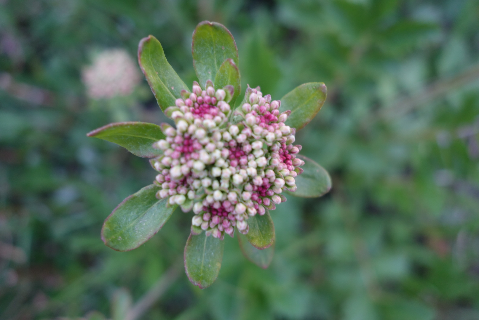
Animals will rub against a particular tree repeatedly to mere territory.We set up camp in a flattish area and ate a hearty meal and tried to dry out our feet. I was wiped out from the climb and was asleep at 10:00.
No, this is not another recipe entry. Although I have loved my meals so far, I wanted to give an update on health issues.
Thus far, the trip has seen more rain than sunshine. The nature of backpacking is having to ford creeks. As a result, wet feet are a common problem. As an added feature, if the temperature drops below freezing at night the wet shoes and socks become frozen.
You are welcome to try this at home, but I do not recommend it. Placing a frozen sock over a nice warm foot that just emerged from a cozy sleeping bag is challenging. Placing the socked foot into a frozen hiking shoe is a battle: a battle of will, engineering, and words.
Lucky put on his frozen boots at Strawberry Creek and hiked. He is like me and we both wake up when the birds start chirping. However, by 10 in the morning we stopped and he checked out his feet. Sure enough, the frozen upper part had been pushing down on the big toe of his right foot and he had a bruise that would make a boxer cringe.
As for myself, I have developed blisters on both heels. Moreover, walking through creeks and rain and muddy trails means my feet are always wet. At night, when I finally get into my tent and sleeping bag, I take off my shoes and socks. The best I can describe the appearance is to say the bottom of my feet look like uneaten oatmeal that has sat near the dishwasher for a few hours and my heels look like hamburger. I try to rub my feet and apply a lotion to repair overnight. It mostly works. Can’t wait for drier weather.
(Out of respect for both my blog followers, there are no pictures for this entry. )
(6/20/16) Starting up the hike again, I completed approximately 20 miles. I left the hostel in East Glacier Park around 6:15. We stopped for the day around 4:00. Perfect hiking weather.
I have developed blisters on the heels of both feet. It is painful, but I have to carry on and develop thicker skin. If you are interested in the slightest, my preferred treatment is to apply antibiotic, a gauze pad, and secure it with duct tap. I realize this is probably not the approach of most (or any) medical professionals, but the duct tape is secure, tough, and the shiny surface reduces friction.
I mostly followed Lucky today and Steven the Destroyer (STD) was behind. In bear country, that means Lucky is appetizer, I’m entree, and STD is dessert. Lucky is a strong hiker and shouts a verbal bear warning every 30 seconds. I struggle sometimes to keep pace,but that’s okay.
We left Glacier and it’s rules and entered the Bob Marshall Wilderness around noon. We crossed a highway, went past a campground, and then entered wilderness. We met up again with some great,fast hikers named Curtis and Christiana (sp?) and their dog Sable. We took an alternate that required several wet river crossings. We camped at an old elk hunting campsite and we’re all in tents as a beautiful sunset unfolded.
Today was a real hiking day. Lucky, Steven the Destroyer (STD), and I left for a destination called Strawberry Creek.
Initially we walked along old 4 wheel drive roads. We ascended over some blowdowns (trees that have fallen down across the trail). The day saw us walk in environments ranging from open, recovering burn ares, to thick forests.
At one point we came to a meadow that sloped up and the morn I ng breeze blew down the hill. Lucky saw a black bear at the top of the meadow. It eventually heard us,got on it’s hind legs, and ultimately bolted away.
Towards the latter part of the day we came to a juncture. The map indicated a traditional route around a lake or an “alternative” that was shorter but of mixed quality. While Lucky and STD rested, I went ahead on what I thought was the traditional route. Quickly, I became aware it was the alternate.
I thrashed back and forth through a thick bog with a lot of down trees. My feet were soaked. Eventually, I just decided to climb up hill, relying more on common sense than electronics. Finally reached the trail and wanted to leave signs for the other guys. I made an arrow and wrote “Lucky” but hesitated to add “STD” to avoid the perplexion a traveller might have coming across a sign pointing to Lucky STD.
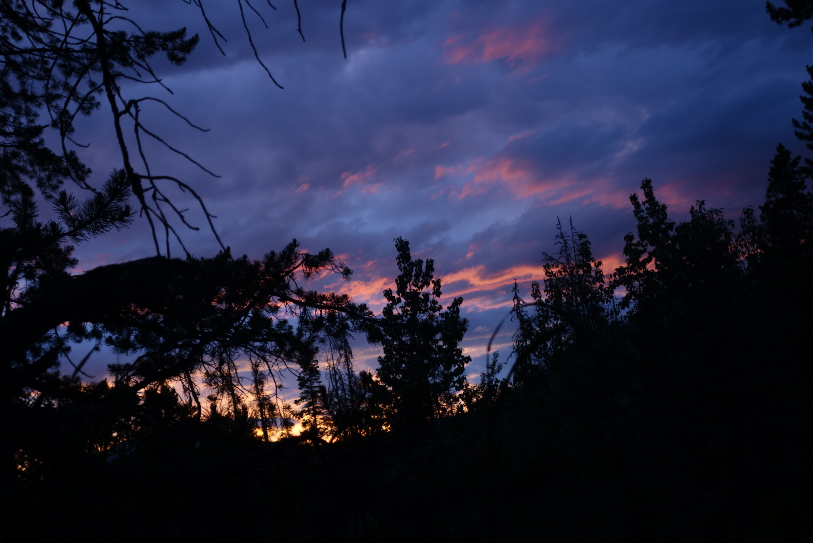
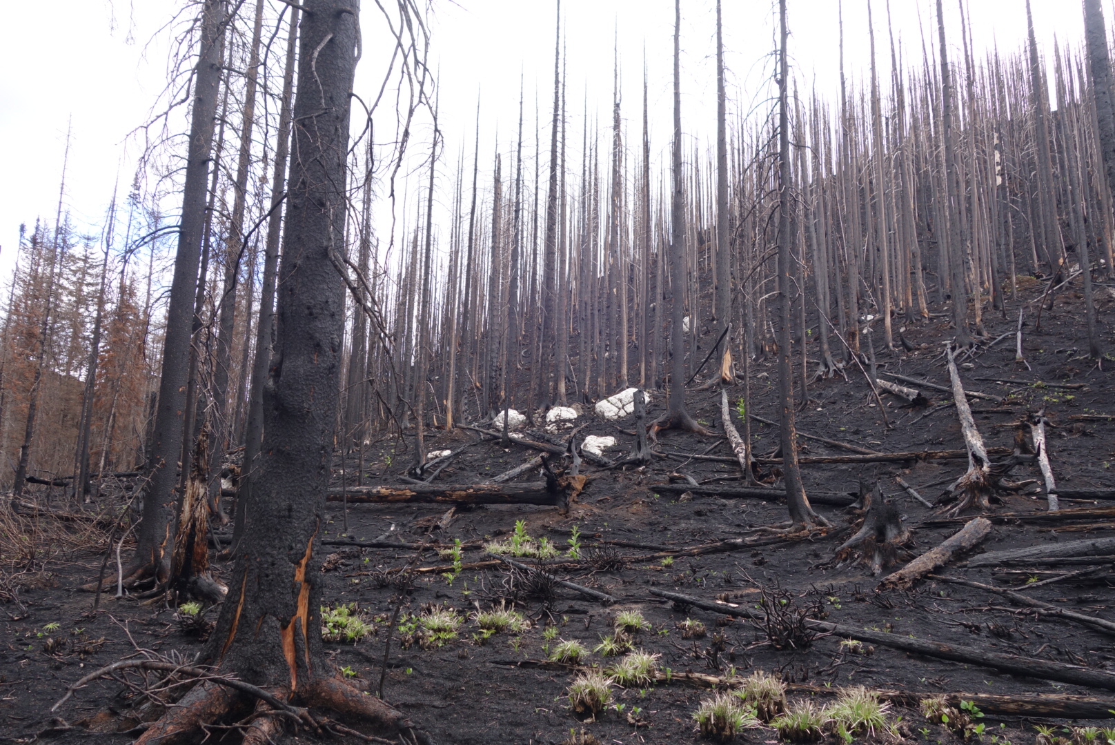
The trail took me through an area tha had just burned this year. It was eerie. Scarecly any green penetrated the harsh black, only ocaisionally broken by stark white rock. At last, coming over a pass I found a meadow which had fresh water, greenery, and campsites. I hoped that Lucky and STD would catch up, but was not sure. Eventually they did and we camped in a meadow for a night that was clearly going to get cold.
Note: I am way behind on blog updates. Have not had connectivity. Sending this from 8500′ mtn in Scapegoat Wilderness. Will eventually catch up.
I finally started climbing up. It was interesting to note the breathing difficulty the higher up I went. I was hiking with Lucky and Steve. However, there is a knot of southbound hikers so we passed and were passed by some.
Finally reached a beautiful glacier fed lake and camped for the night. Overnight a mountain goat entered our camping area and just hung out.
I ended up hiking with a different group. These folks had a similar itinerary so we agreed to try to connect. I started off on a slightly different trail, knowing we would connect later.
As I started my day, I looked down for trail signs. It was a little disconcerting to see a paw print larger than my size 12.5 shoes.
Admittedly, I was scared to be hiking by myself. About every 50 feet I would yell “Hey bear.” It feels stupid at first, but you get over it.
Later, I saw a truly scary series of paw prints: cub prints with no adult prints. To me, that was nerve wracking wondering if the sow was out looking for the cub. Eventually they disappeared.
As a matter of background, bears are smart. If humans come into their territory and build lovely trails, then the bears will choose the easy traveling of a trail versus pushing through brush. So, trails tend to increase the likelihood of hiker/bear encounters.
I breathed a sigh of relief when I connected with the others. This day we were going over Piegan Pass at 7,800. We crossed some snow fields and made our way above treeline. The mountain walls seemed like something out Lord of the Rings. There was a large waterfall fed by snowmelt plummeting between the walls. Every time I stopped (which was often due to the thinning air) I looked around and said “Wow.”
We finally came to the top and stopped to admire the panorama. Interestingly, at the top there was a colony of pika to greet us. They are curious, cute, and the predators love ’em. All the way up, there were cat prints (probably bobcat or lynx) in the snow. Plus, there were prints from either coyote or fox.
We descended over a few sketchy avalanche chutes. I finally put on my microspikes for the most dangerous slopes.
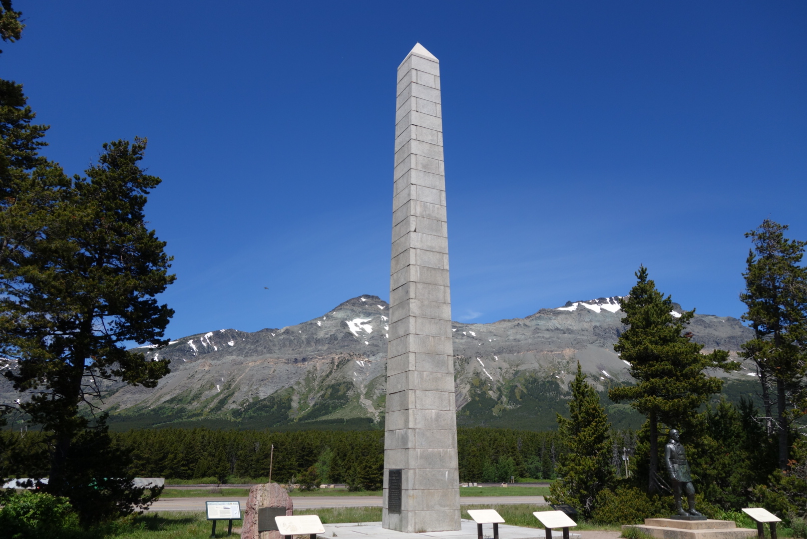
Finally, we crossed the famous Going to the Sun Road and saw lots of tourists. On the heavily traveled trail down to the St. Mary’s River I saw where a grizzly marked it’s territory by clawing a tree.
The day wound down as we collectively cooked our meals around a smoky fire. The group I am traveling with is friendly, interesting, and experienced. Should be a good day tomorrow.
Last night it seemed every noise outside my tent meant the return of the grizzly. In fact, the only encounter was with a rabbit.
The group I was traveling with moved out to go over Red Gap Pass. They are younger, seasoned hikers. As we got closer to the peak, they asked me to lead. This is a courtesy to have the slowest hiker lead.
You would not know it was June from the weather. We crossed snow fields in avalanche chutes. As we got closer to the pass, the winds gusted up to 50 or 60 miles per hour. When you are on steep, open terrain all you can do is try to hold steady. About 100 yards from the summit, the light drizzle turned to ice and I received a refreshing exfoliation.
As we descended back down, it cleared and warmed. We saw two bighorn shep on the canyon walls.
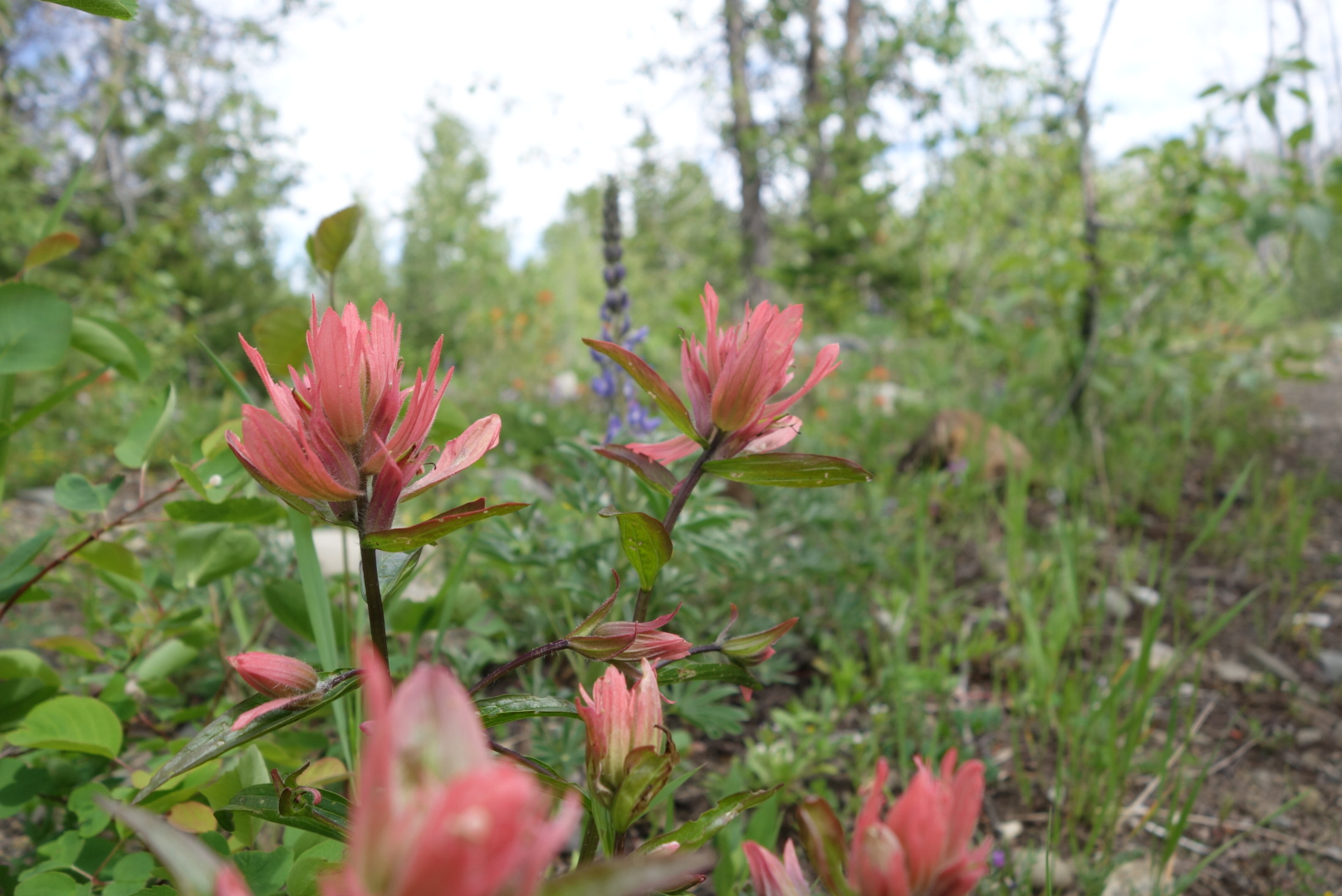
The rest of the day’s route went through lush woods and meadows with plants waist high at times. You can bet we made lots of noise through these parts.
Well, that bear video I discussed yesterday was tested today.
Before that, a little background. I shuttled to the border crossing with three experienced hikers. After border photos we started hiking around 2:00. Very easy hiking with great weather.
We basically walked up a valley to a lake for 10 + miles. At the lake the mountains climb sharply from the shore.
Great first day.
Oh, I almost forgot. We had a large grizzly come through camp like he owned the place. The only thing that eventually spooked him was one of the guys I’m hiking with banged on the metal bear box. The hiker’s trail name? Grizzly Bait. Couldn’t make this up if I tried.
On reflection, we all had bear spray, stayed as a group and walked backwards away. So far, good script. Bear had not seen video and kept coming down path through camp. He knew where cooking area was and could not care less how much we yelled. In the sequel, loud percussion will be featured.
Can’t wait for tomorrow as it is supposed to snow and we climb 2400 feet up over Red Gap Pass which allegedly has a steep snow field to traverse. Yes!
Completing final steps before taking the first step.
After some hurry-up-and-wait, I received my official backcountry permit for Glacier National Park. I am officially permitted to hike in the woods. I even had to take a test on bear safety.
If you’ve been to the Boundary Waters and sat through the bear video, you’ll appreciate the order of magnitude here. For example, I recall the Boundary Waters instructions were to yell, bang pots, and throw stuff at any bear in camp. Here, you are supposed to stop, speak firmly, walk backwards, and not look the bear in the eye. And whatever you do, don’t run.
However, if this fails to avoid an encounter, you are supposed to use bear spray and/or play dead while laying on your stomach with your hands clasped behind your head, presumably to protect vital organs. Of course, the video says if the bear is deliberately attacking, not just startled, you should fight with sticks and rocks or climb a tree.
I wanted that permit very much, so I kept my mouth shut. Still, I was left a bit confused. For example, who penned the scientific study on the importance of avoiding eye contact to prevent mauling? Were volunteers divided into two groups of Direct Stare and Averted Eyes and then put in the pathway of a grizzly? What was the sample size? Another question I had was discerning between whether I was being attacked or just encountering a startled bear. I’m sure there are some people adept at quickly discerning the difference, but personally, I still need a few seconds to decide between paper or plastic bags and indoor or outdoor seating. Lastly, regarding the old playing dead thing; have these people not watched Revenant?
Please don’t think I am disrespectful of the National Park Service. They are trying to preserve and administer access to some of the world’s treasures. Permit systems control volumes, track hikers, and increase safety for people and animals.
Swiftcurrent River
Glacier National Park is stunning. I still have not seen the tops of most peaks due to storm clouds. But what I have seen is amazing. Just this afternoon I enjoyed a five mile walk in sun, rain, and snow.
I take a shuttle van to the Canadian border tomorrow and start walking south in the afternoon. Fitting my current physical condition, I am going to hike the Belly River. Most likely I will not be able to post for two days until I approach another park lodge.
Until then, I hope you stay safe and either avert your eyes or attack.
I finally left the Twin Cities on the 10:30 pm Amtrak. I had not been on Amtrak since living on the east coast. Train travel has some merits. It is interesting to watch the country change and unfurl. Heading fron the midwest to Rockies, the soils grow thinner, the land use more scattered, and making a living gets harder. On the other hand, some train travel situations are not so good. Since I boarded at night, everyone in my car was sleeping. I dubbed it Clan Snorton based on the amount of snoring. While I generally consider myself an above average snorer, I was totally outclassed. Plus, there were a couple chatterboxes on board. (Tip: bring earbuds or headphones on train.)
One other note about arriving at Glacier National Park by train is the intimidating size of the mountains as you approach. You go from rolling grasslands to huge mountains jutting straight up, making you wonder what you have signed up for….

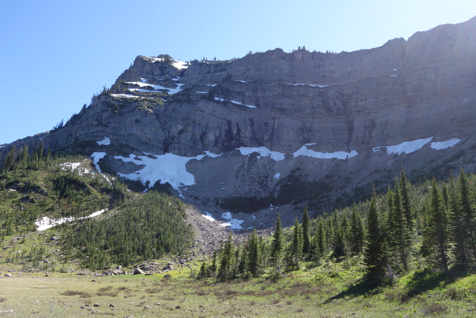 Still, there was beauty. At one point there was a spring on the trail where the water shot out of the middle of a boulder at a fairly good flow rate. Plus, being able to look back down at the valley below was cool. Eventually, by 7:00 we reached Dean Lake. It is a beautiful snow fed lake with granite peaks as a backdrop.