August 21, 2018 Roaring Winds campsite to Boulder Creek Campground
I woke up early knowing this was going to be a tough 27 mile day. I would start above treeline and end up in semi-rainforest. A gross drop in elevation from 6,700 feet above sea level to 360 feet above sea level. I took a moment to thank my knee cartilage for years of dedicated service and bid a fond farewell.
It was smoky still. The sun crept higher looking like a shaded spotlight.

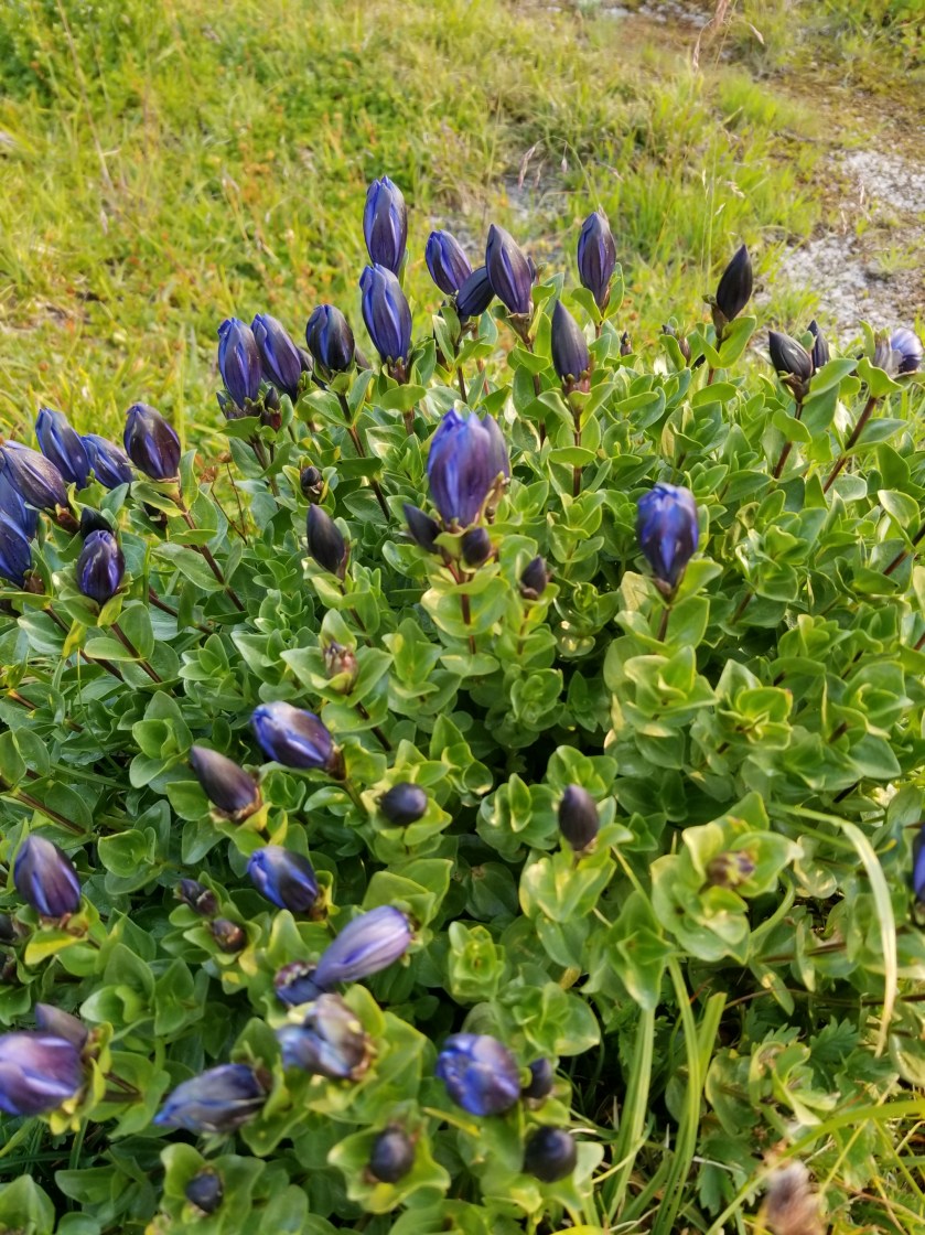
I was well above tree line for most of the morning, but the tough, beautiful, sparse plants provided plenty of interest.


I was also graced with the presence of birds.
Have I ever mentioned marmots? My morning was marmot heavy.

A bit before noon, I reached the Hurricane Hill Visitors Center.
I feared it would be a tourist zoo as this is the primary driving destination in the park, normally offering gorgeous views after an easy drive. Perversely, the smoke worked in my favor as the huge parking was only 10% full.
When I went inside to the top of two layers, I was immediately able to complete some backpacker chores: find electrical outlet, water, and properly dispose of garbage. While charging, I casually reviewed some exhibits.
Then, I moved over to what seemed the nerve center of the building: Information. When I got to the counter, a gray-haired, uniformed park ranger asked how she could help. I asked “Are there any closures?” (My permit was issued over a week prior and between construction, fires, and, I’m not making this up, Goat Relocation, I knew there was a possibility a portion of my permitted route might be closed.) The blank look in her eyes made it clear I was in for some fun.
“What closures?”
“I was hoping you could tell me. I am backpacking and just wanted to see if there are any road or trail closures I should know about.”
“Oh. If you’re backpacking you need to get a permit. They will know about any closures. ”
“Sorry, I already have a permit issued several days ago, but I just wanted to see if anything has closed recently.”
“You’ll have to talk to the permit people downstairs. We have no information on closures.”
Involuntarily, I stepped back and looked at the sign to make sure it hadn’t said “No Information. ”
Honestly, I tried very hard to ask politely “What information do you have.”
She curtly replied that they help visitors learn about park programs and nearby day hikes they could take. About to ask her what she would do if a day hike route were closed, I thought better of it and left, thanking her for time. I felt empty, without closure.
The best part, though, was when I went downstairs, to the holy land of closure information. It was a gift shop and snack bar! Torn, I couldn’t guess whether trail closure information would most likely come from the fry cook or the lady selling stuffed animals.
I chose the snack booth. I ordered the fish and chips: three pieces of fish and fries for $13. When I got the order, it was two pieces of fish. I asked the person if they were having a two-for-three special. She said “No, its regular price.”
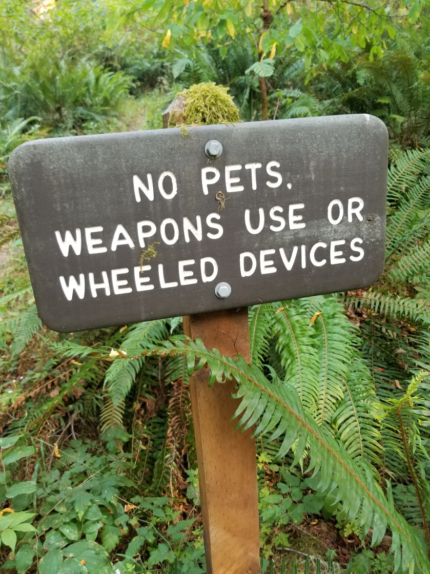
After about a half hour, I had enough and got going. I had a fairly steep downhill, but first I had to go up the popular Hurricane Hill trail. There were many helpful signs explaining the two different trail closures coming up in the next few days.
It was hazy and hot on the open hillside. I opened up my umbrella to create shade. I got a few smirks, but it kept the sun off and let the small breeze through.

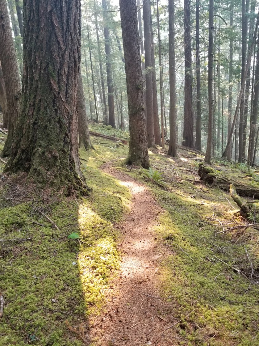
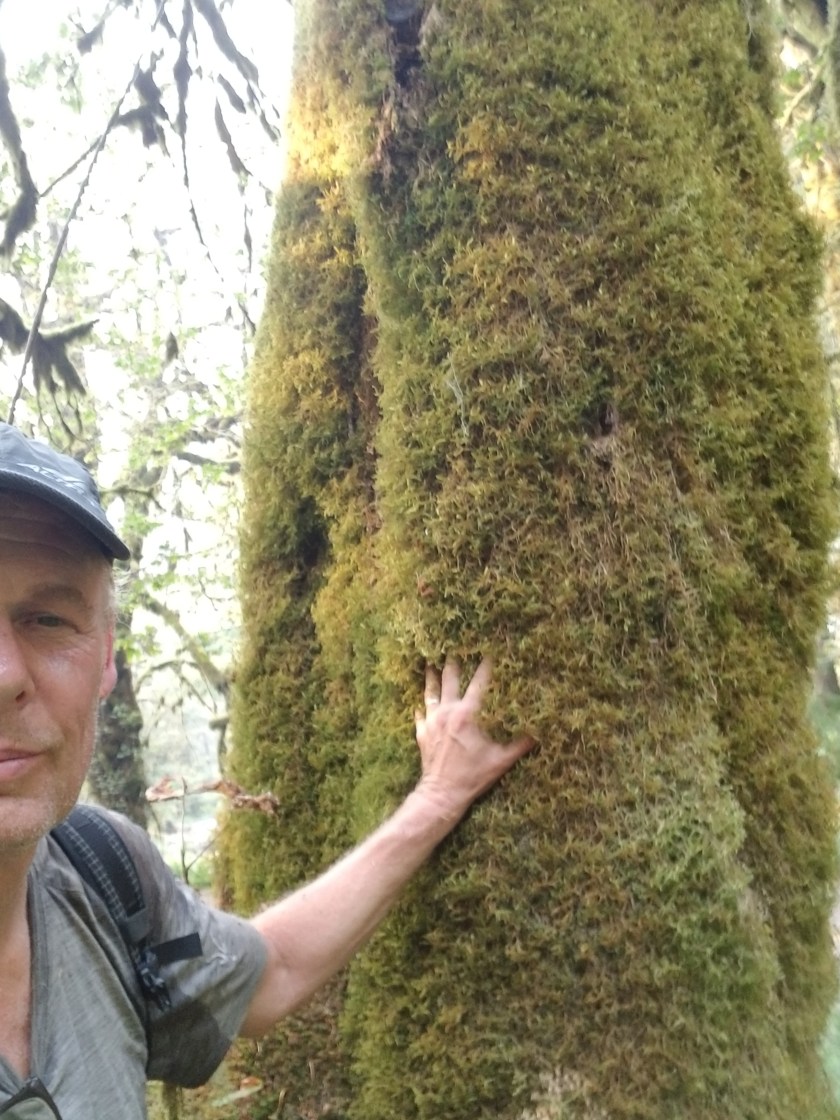
Eventually, I began my descent. Over the next several hours I walked down from above tree-line to subalpine to grassland, dry ponderosa to rainforest. Early on, it was incredibly steep and I nearly wiped out as I tripped and my top-heavy pack wanted to carry me down.
A
Around 5:00 I reached the bottom. The ONP was in the midst of major renovations, having removed a hydroelectric dam and replacing the roofing on the nearby ranger station. As a result, a major roadway was closed to vehicle traffic. After so many perilous hours on narrow shoulders of busy highways, strolling along a wide paved Avenue through the trees was a beautiful change.
I passed two couples. One was on bike and the others hiked. Both couples were returning from the Olympic Hot Springs.
I had a gradual nine mile, 1800 foot elevation gain ahead of me. My knees were sore, but it was simply a matter of grinding out the miles. I did stop to look at the remnants of the dam.


I ate dinner as I walked. Finally, about two miles before the hot springs / campsite, the paved road ended and turned to trail. It was close to dark so I got water and took out my headlamp. I’m not a fan of night hiking, so I was walking as fast as I could. Just as it was getting to the point where I couldn’t see 10 feet in front of me, I reached the campground. It was huge. A few years back, vehicles could drive all the way to the hot springs and thus the campground was large.
I hung my food, pitched my tent, and put my creaky bones and sore muscles down to sleep. Just as I was dozing off, a group of female hikers walked past with their headlamps blazing, returning from the springs to their campsite. Finally, after they got their food hung, the campsite was dead still and quiet. At last, my eyes found closure.
