August 2, 2018. From Upper Cathedral Lake to Bunker Hill.
I had to pry my eyelids open in the morning. I wanted to hike, but my face wanted to sleep.
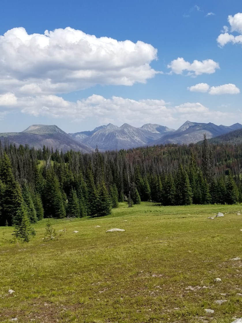
It was a crisp, sunny morning and the sun’s first rays crept through Cathedral Pass.
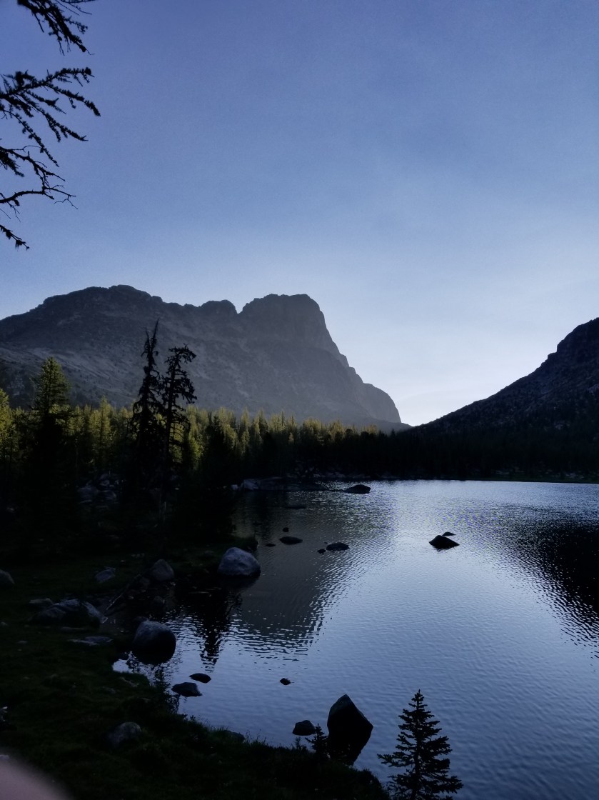
I followed the night-hikers footprints down the trail. I came to overlook a sweet, flat valley with a nice meadow in it. Somehow, the meadow had escaped the fires last year.
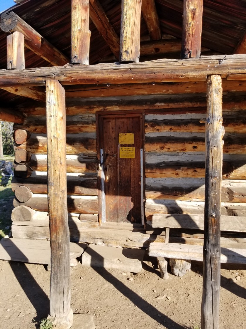
The footprints went on for more than an hour. They hiked quite a distance, presumably using headlamps. I have night hiked before but found the one-dimensional lighting from the headlamp a bit distorting and disorienting. I could hear their voices when I came to a trail junction that also included a back country ranger station.
I kept on hiking and noticed that Jackson’s footprints went a different direction. Sure enough, the route he followed was the bail out to Winthrop.
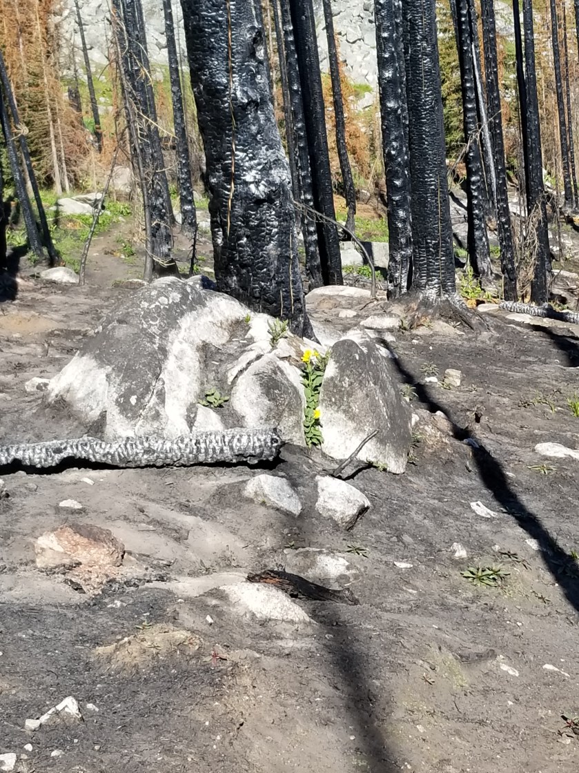
I now entered some very crispy hiking. It was hot and stepping over the many blow downs inevitably led to charcoal smears all over the legs. I did cross the Ashnola River and washed some of the soot off. There, I noticed my shoes were tearing again. I did the math and it was about 360 miles. At $120, Altra’s cost me a dollar every three miles.
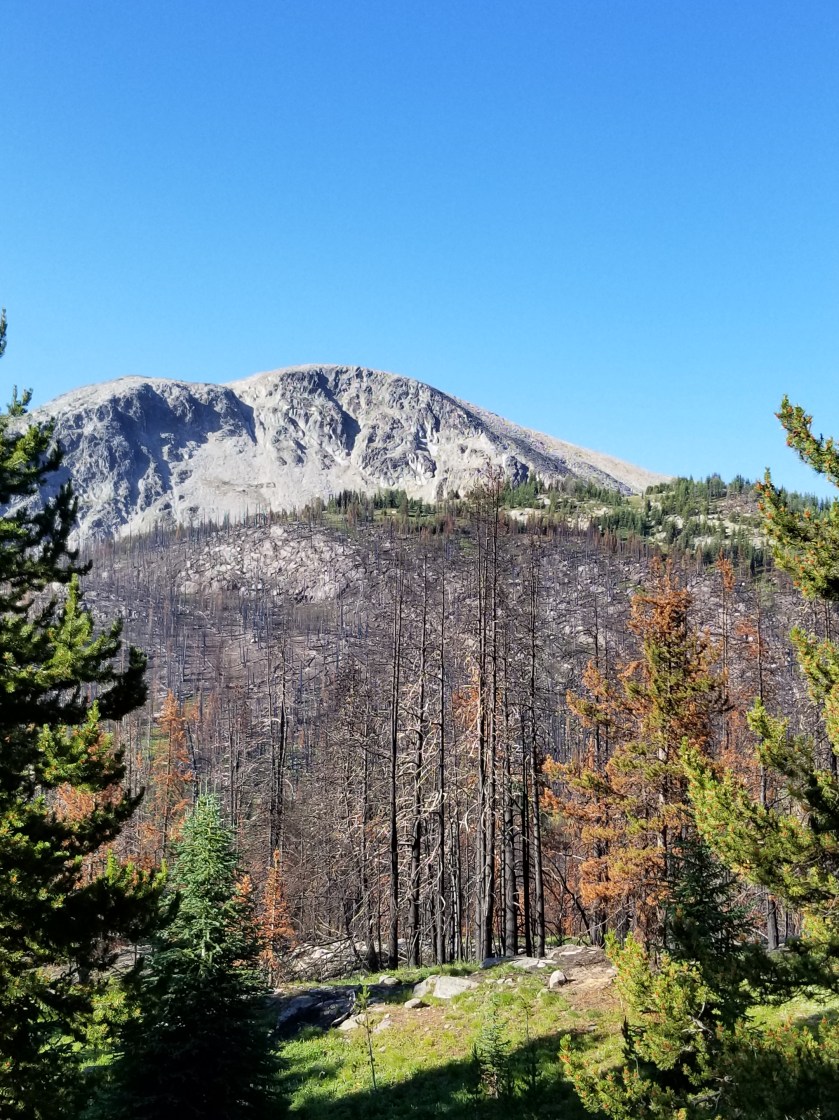
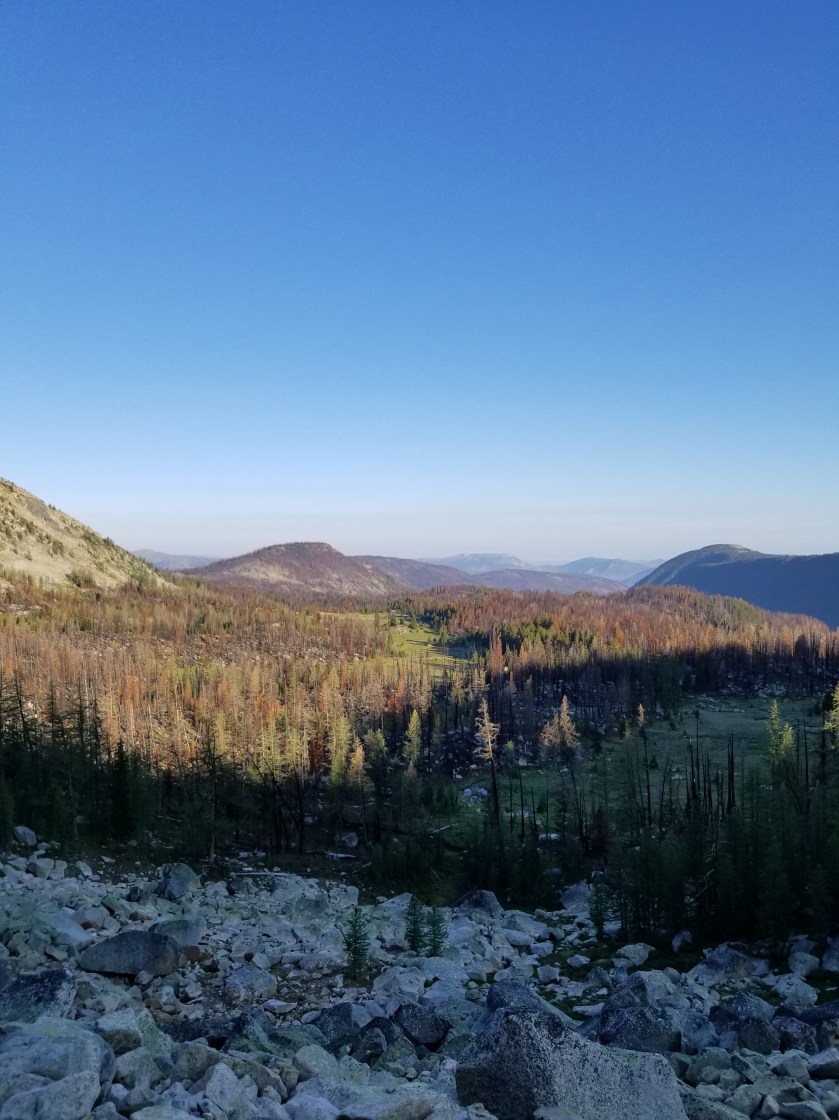
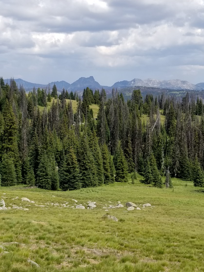
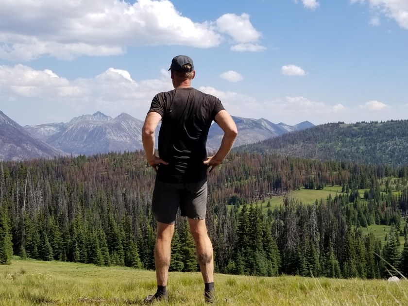
Later, there was a reprieve where the trail popped out of the burn. It was after Sheep Mountain and around Quartz Mountain. Spectacular views while walking along high mountain meadows.
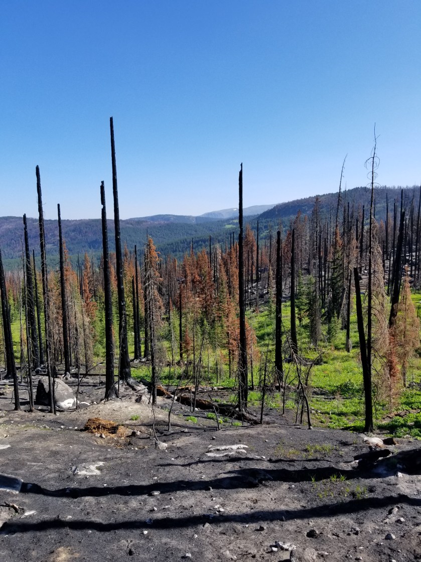
Unfortunately, the trail would descend again into the 2017 Diamond Creek burn.


I was pretty wiped out and tired by the time I descended down to Dean Creek. There were just a handful of footprints on the ash covered trail. My best guess was that One Direction was through here as there were three sets of prints that went in lock step.
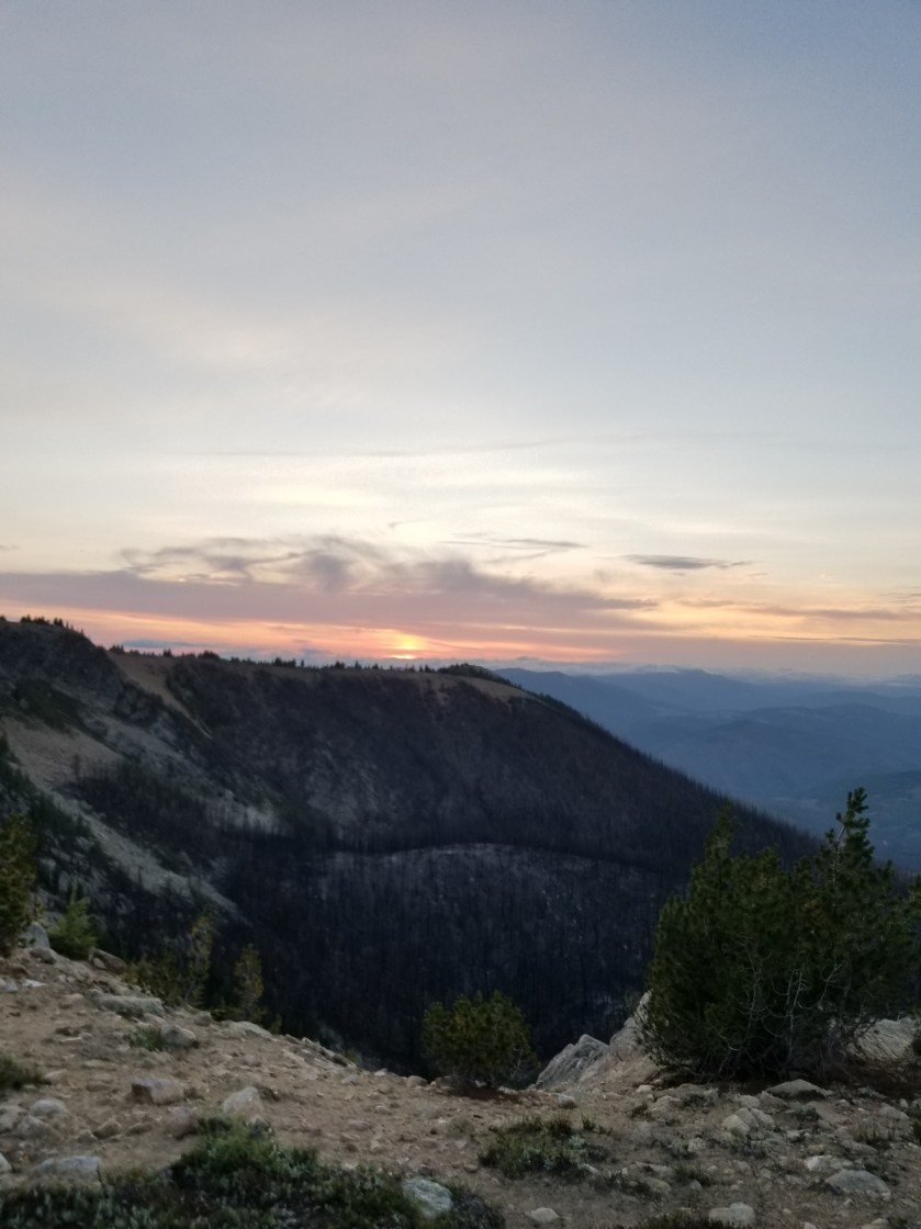
I had to make one last push to reach my intended campsite: Bunker Hill. I hoped the Brits were not also camped there because then I would have to naturally retake Bunker Hill for the sake of history.
I raced the sun going down in the west as I heaved myself up to the top. A northwest wind was picking up and I was in that weird place where I am sweating and working hard, but the breeze is cooling exposed areas pretty fast.
I made it to the top. However, finding camping spots was a problem. True to the topographical maps, the top was flat. However, a coarse dried moss covered rocky ground. Plus, the stunted pines provided little protection from the wind.
I improvised and found a niche where some animals had smoothed out a rock free area. Using my umbrella, a few trees, and my backpack, I was able to set up a comfortable cowboy camp.
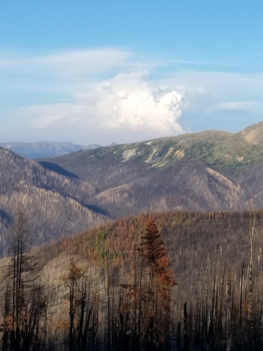
As the sun went down, I snagged another photo of the Canadian fire’s smoke plume.
I settled in to my sleeping bag, noting the wind was dying down. Soon, I was out like a light.
