September 3rd.
Moving early, I tried to find the trail junction in the dark. I was on a trail paralleling a river. I needed the trail that went up the hill side. Three times I walked slowly past where both gps maps said the trail should be.
Not wanting to get frustrated, I just winged it and started bushwacking my way uphill through the trees. Sure enough, after about 20 minutes I found the trail. Often the trail fizzled out, only to rally again around a cairn or tree marking.
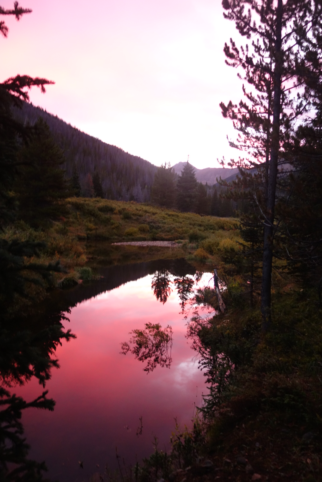
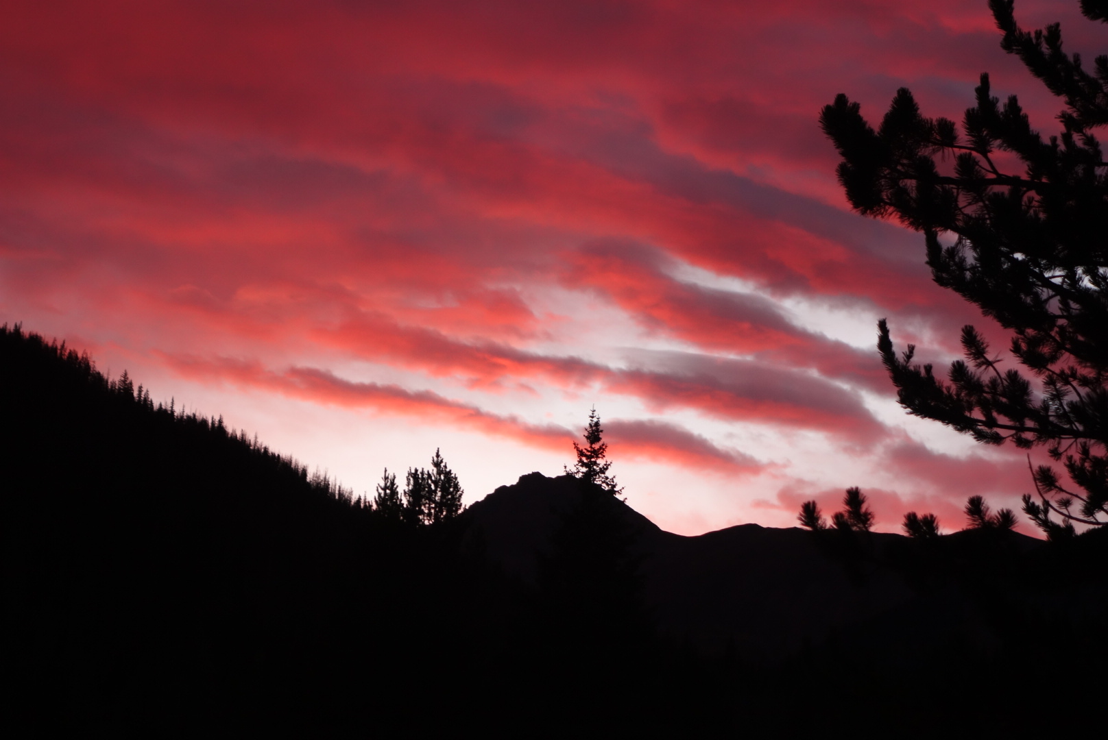
On a positive note, the sunrise was delightful and I snapped a few pics.
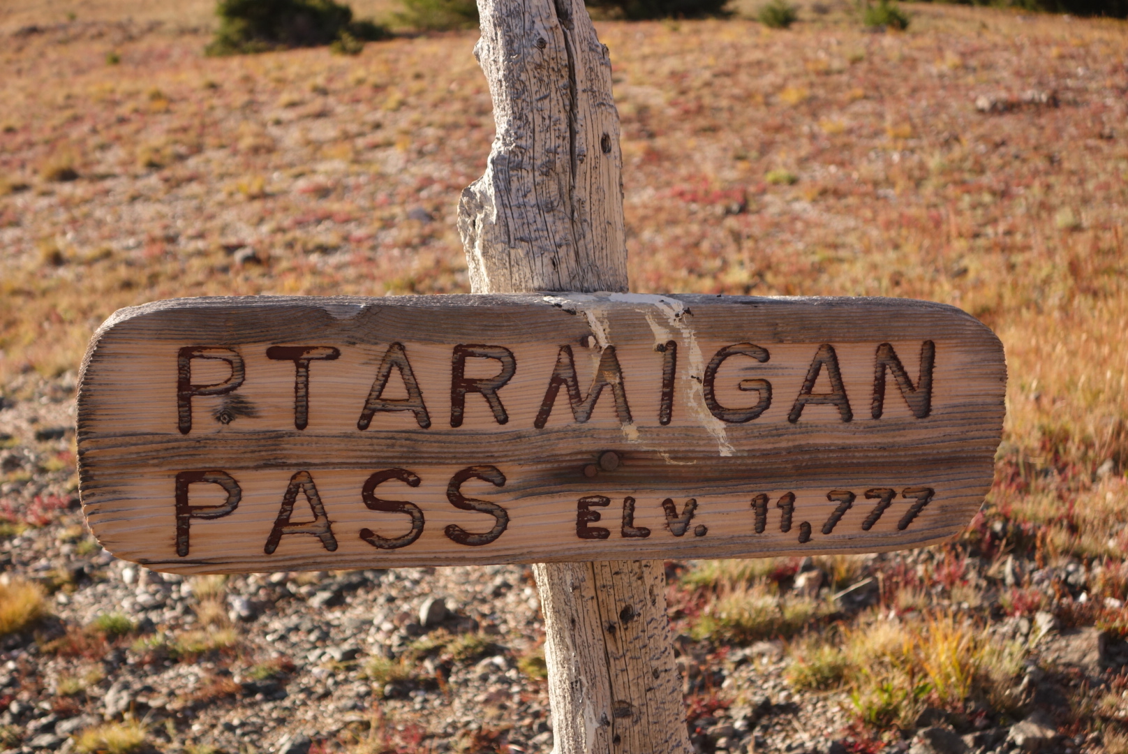
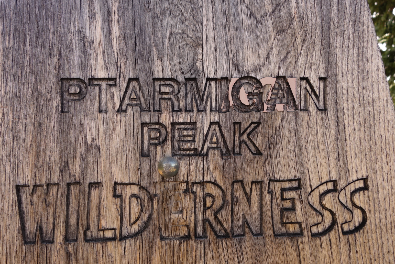
Once I reached Ptarmigan Pass, I thought things would get better because I could see Silverthorne down in the valley. Nope. The trail split irrationally and I had to pick a spot on the horizon and just wing it by walking to that point.
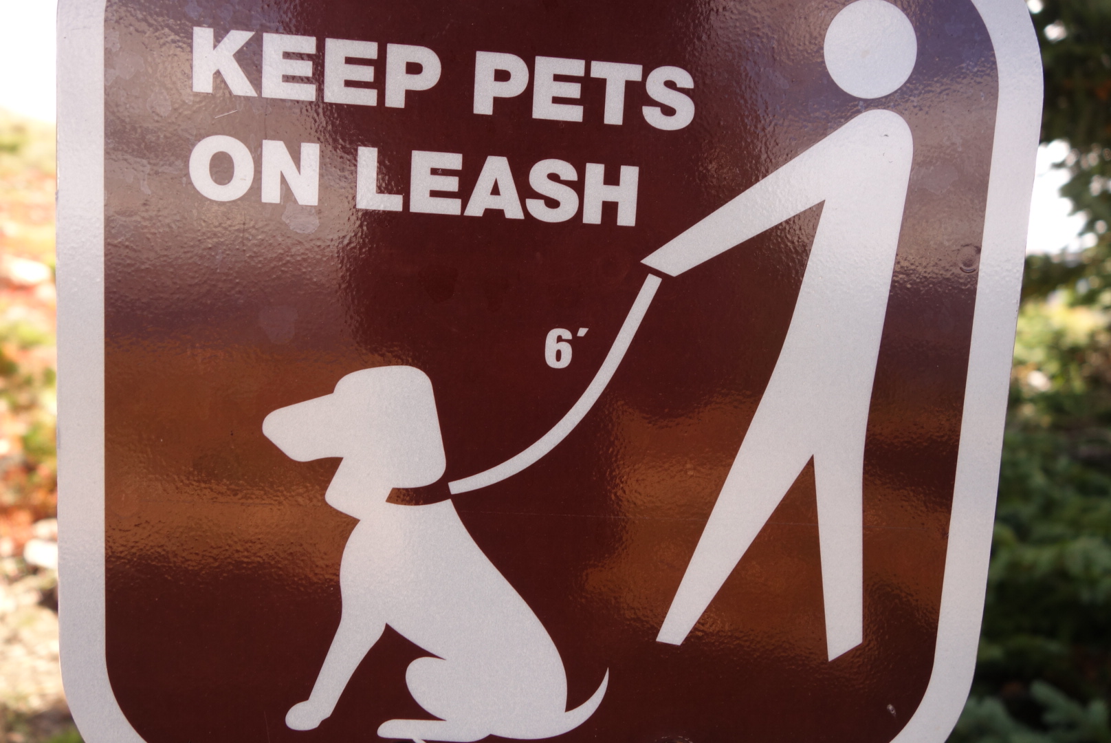
Eventually, my sometime-trail intersected with a popular day hike trail. I flew down the switchbacks. I found that backcountry trail behavior is not appropriate for popular day trails. In the backcountry you pee when and where it occurs to you. Not a good idea on this trail. Fortunately, I heard the folks before any misunderstandings happened.
My printed map said to follow a certain trail and it would drop me close to my motel. Not at all. I was dropped down into the back of a suburban development where all the “log” townhomes looked the same. It was a two mile walk into town. Just winging it.
Eventually, I made it to my motel and the day’s hassles were washed away with a hot shower.