August 31st
It was close to freezing in the morning. The trail climbed through a few meadows near lakes and a place called Coyote Park. The almost freezing grass and shrubs bathed my feet in ice water.
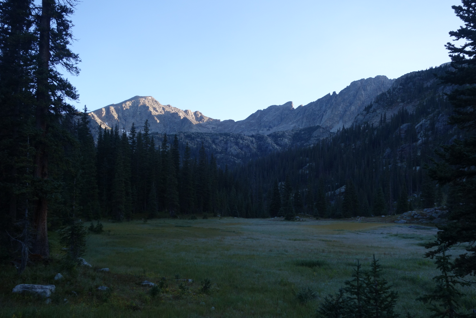
The trail reached Caribou Lake at the foot of Arapaho Pass. The climb up to the 11,900 foot pass was steep and I could look back down and see a group of young hikers, probably boy scouts, breaking camp.
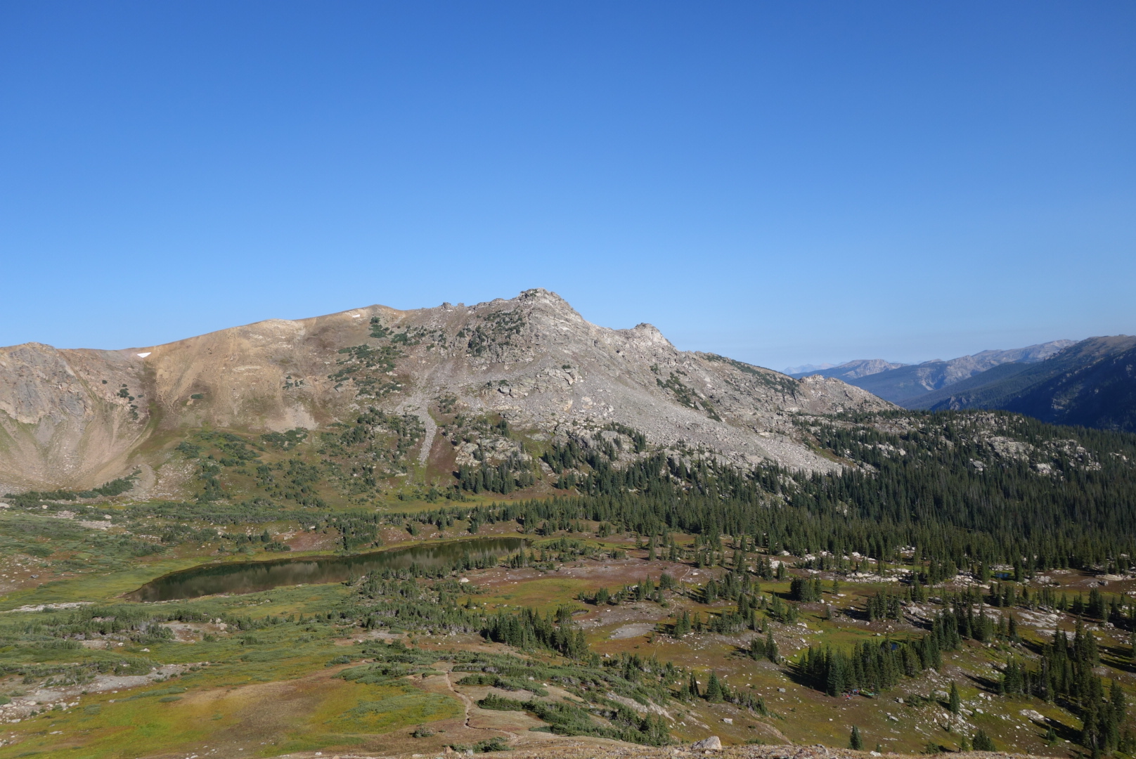
I reached the pass and did what all through hikers do: checked for a cell signal. The sun was out so I warmed up and checked in. I thought I was going crazy because I kept hearing voices.
When I started hiking again, I found the source of my craziness. It was a group of about 10 day hikers just reaching the Pass from the other direction. They were kind of standoffish, so I just kept walking. In rapid order, I met a day hiker with his (unleashed) dog and a trail runner.
The lady trail runner confirmed my suspicion: I was near a popular trail head. I took a break and studied my maps more closely. The shorter mileage was only for a first segment. When I added in the second segment, I had chosen a route that was five miles longer than the official trail. What an idiot.
I ran in to all sizes and shapes of people as I descended. It was a nice day and I enjoyed the descent. I enjoyed it so much I missed my turn. What an idiot. After climbing back uphill for about a half mile, I was back on the correct trail to Diamond Lake.
I was finally chugging along. There were the customary clouds gathering in the distance, but I was keeping a good pace. Then, the trail began going straight up over a mountain when the map showed it skirting all the way around. I retraced my steps, looking for a blown turn. I bushwhacked looking for the old rail. After an hour, I gave up and resigned myself to the fact the old trail had been rerouted and I was on an unmapped path. What an idiot.
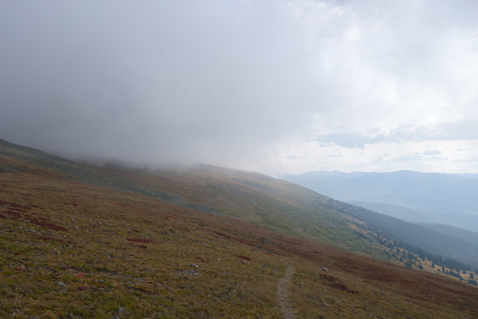
Eventually, after a couple correct guesses at trail junctions, I was back on my misguided long-cut. The goal was to rejoin the official (and shorter) CDT just after Devil’s Thumb Pass. Now I could see the pass and also the big snow fields I feared I might have to climb late in the day.

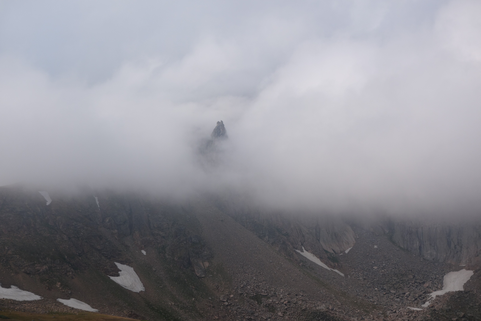
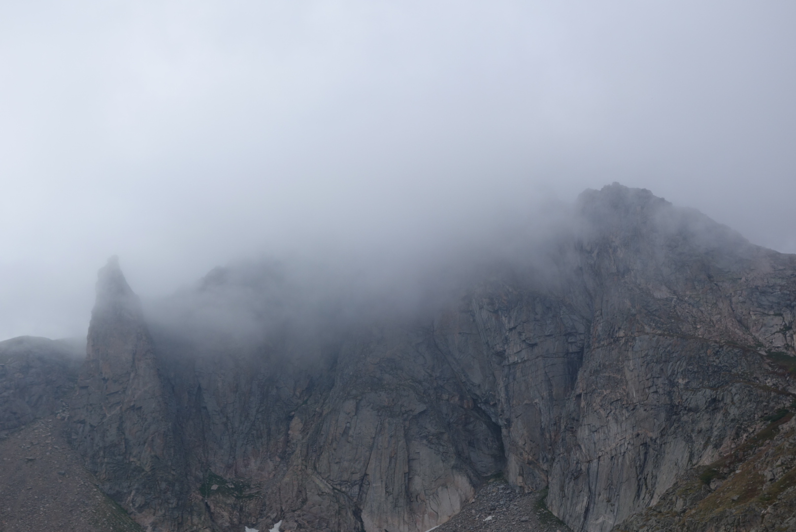
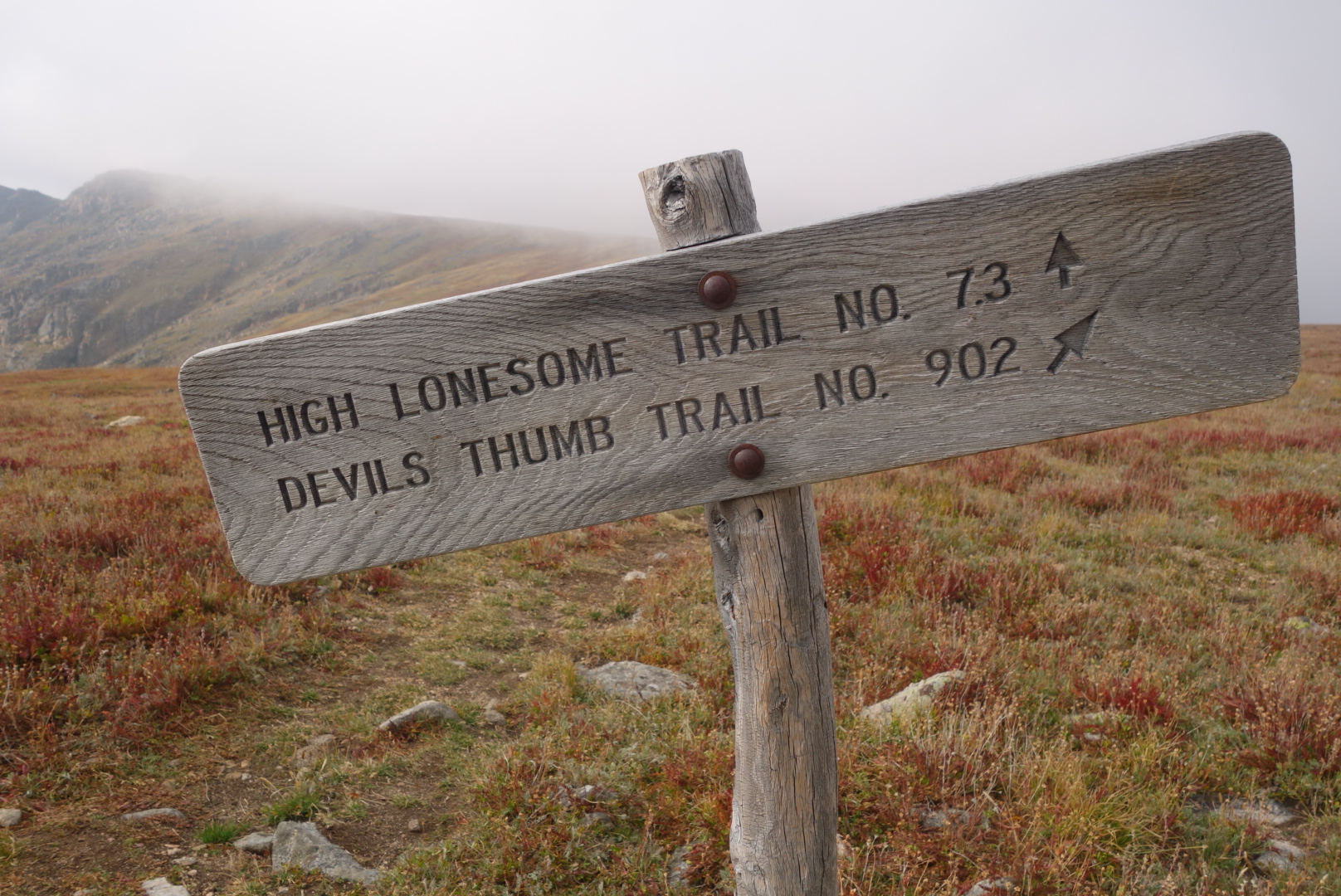
By now you can predict at least one thing. As I began my climb up to the ridge, it began to drizzle and the wind swirled in the steep canyons. After I made it the top, it was very eerie. The clouds were being blown up out of the canyon and then swept out over the more moderate side I was now on. Also, I loved the name of the trail: High Lonesome Trail.
As the sun set, the wind, wet, and dark forced me to seek shelter within a cluster of dwarf spruce just before Rollins Pass. It was challenging to set up the tent in the dark and wind. Also there was a car that turn on its headlights, then creep along for awhile and then stop, only to repeat the action in 15 minutes. Kinda weird.
I fell asleep to the wind slapping the tent. By small measures it tapered off. By 2:00, when I got out of the tent to pee, i was treated to a beautiful display of stars sparkling in silent, cold air from horizon to horizon. I guess getting older and having to get up in the middle of the night can have its advantages.
