August 30th
In the dark, I left the hostel and walked down through a sleeping Grand Lakes. No restaurants were open and the town was very quiet.
The trail winds through town, then residential areas, eventually reaching a lakeside trail. It was a nice sunrise. The houses were across the lake and the trail ran through a natural area with several osprey nests.
The lakes are man made, so I came to my first dam. I ate a little, took off some layers, and headed south. In a narrow section of a bay, I came across a couple who were in a sailboat. I think they were just waking up. Their quiet scene was in contrast to the campsite near the Twin Creek Ranger station that featured two pontoons, a jet ski, a large canvas tent and generator.
After the ranger station, the trail climbed atop a bluff. The maps warned of many blowdowns and there were. A slow uphill climb over fallen trees is not ideal. I just imagined it as an obstacle course instead of a trail and it seemed to go a little faster.
I met a husband and wife section hiking. Their names were, I think, pot and lid, presumably referring to the cooking product.
To my great surprise, I ran into Adam and Denali. I walked right past them as they took a break overlooking the lake below. They were the enjoyable young couple I had hiked with in Montana before Butte. We caught up a little. They were going northbound from Chama, NM. So, there was still a chance i would see them again when they later returned to New Mexico and finished their trip to the border with Mexico. They are a positive, fun young couple and I always enjoy being around them.
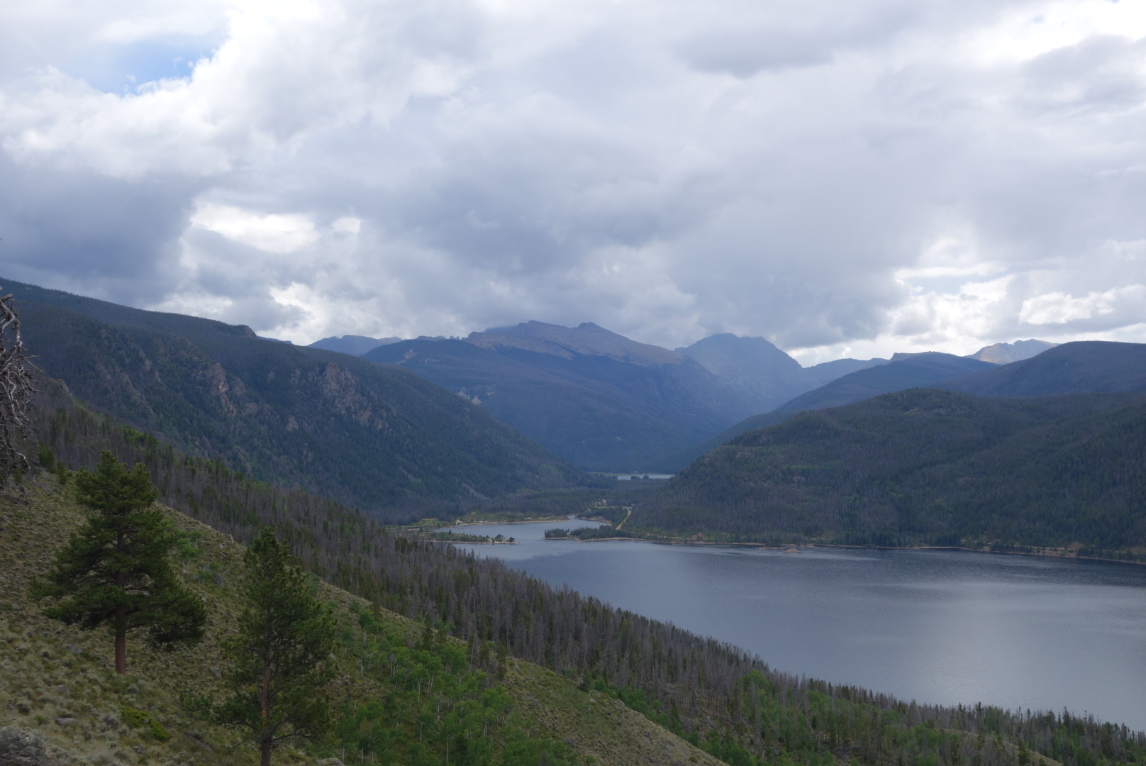
Continuing south, the trail eventually descends to the head of Lake Granby at Arapaho Bay. There was a large campground there. About 100 yards before reaching the campground, on the trail was something I had not seen in awhile: a large pile of bear scat.
I ate lunch at the campground. Looking up the valley there were dark storm clouds. The wind was sharp. I put back on everything I had taken off earlier. Also, the helicopter that I had heard and seen earlier flew by much closer this time.
 I trudged up a gravel road to Monarch Lake. This was the last man-made reservoir before I climbed into mountains. There were a ton of cars at the end of the road, including a horse trailer with Iowa plates. I met a search and rescue guy. He had a team out who helped a guy who was having trouble breathing. The helicopter had been for him. Where, but for the grace of God, go I.
Surprisingly, there were few people on the CDT portion. I came across an abandoned steam engine that was probably used to build the dam. Also, I saw a lady trail running.

I came to a fork. I looked at my Ley maps which are annotated. My tired eyes saw the words “no permit required” and 8 miles versus 12, so I decided on the spot to take the alternate route up Arapaho Creek.
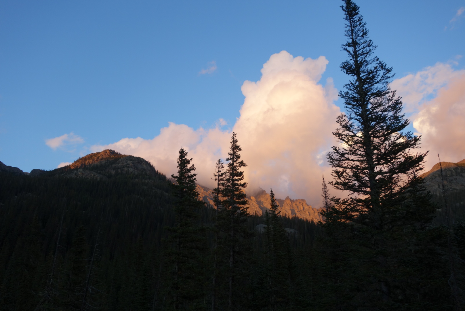
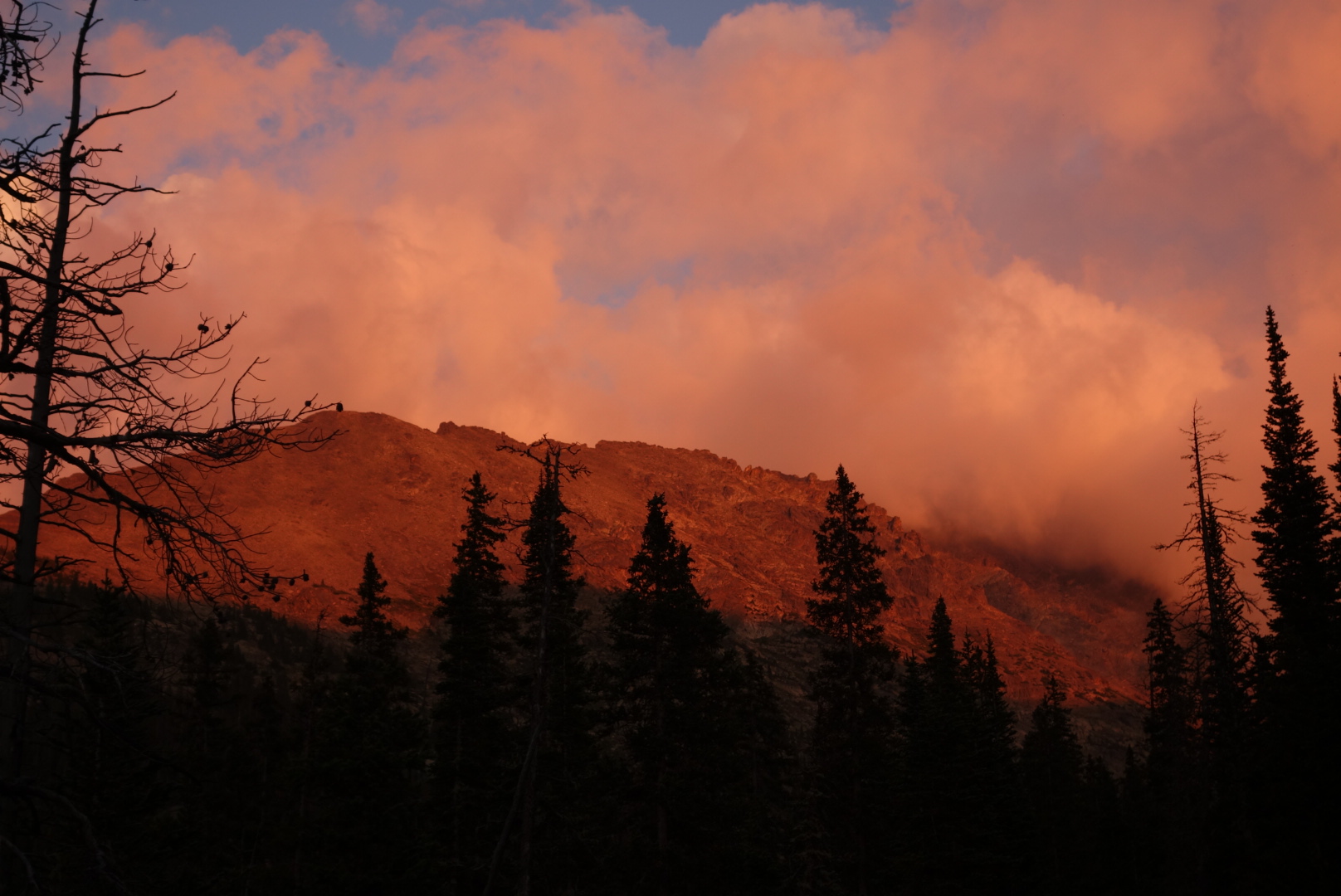
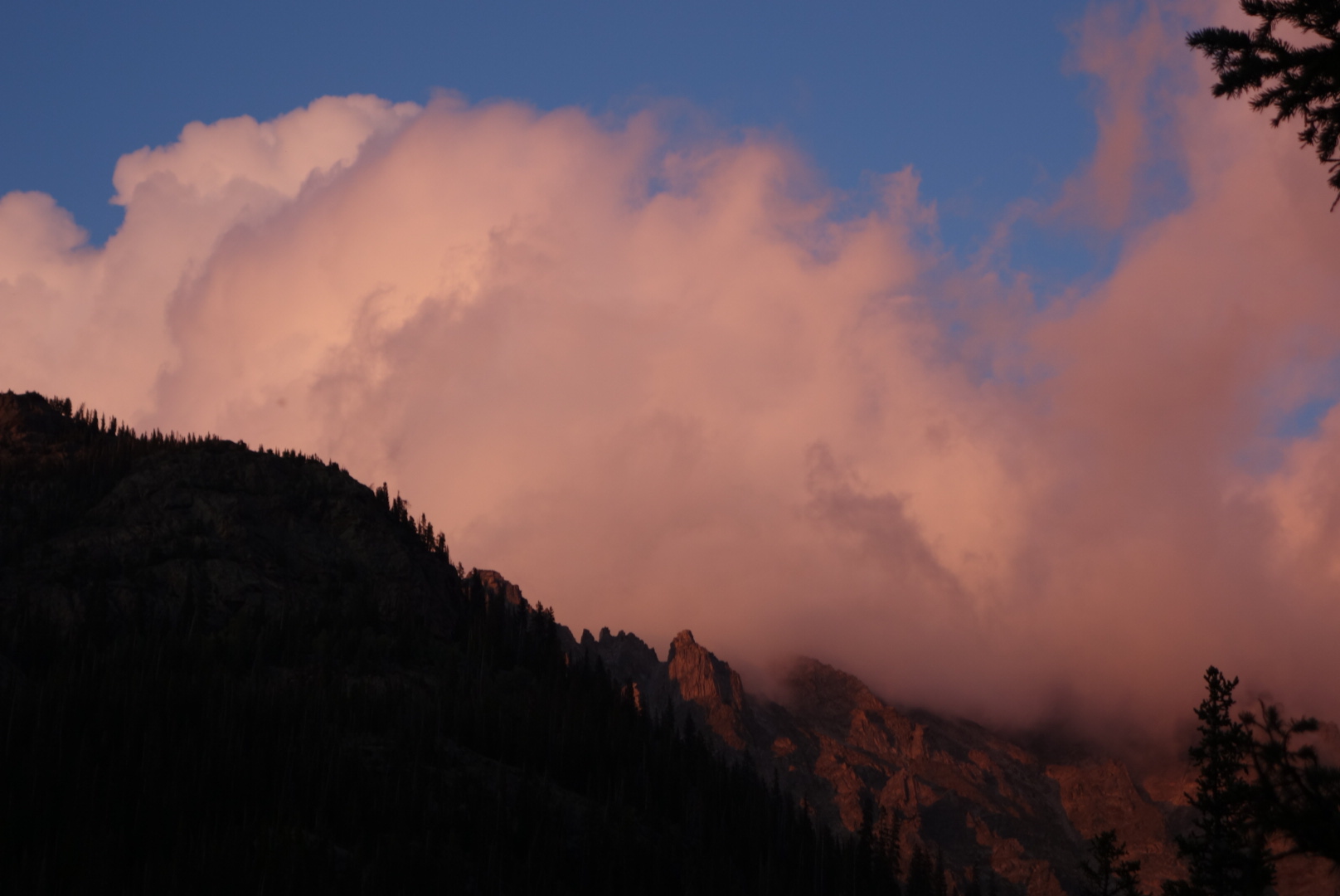
The storm I had seen earlier had been through. Everything was soaked, so inevitably my feet got soaked. I climbed from 8,300 feet to about 10,000 feet. Although the terrain was rough I found a flattish spot where I could look up at the peaks. As the sun set, it was cool to watch the clouds. They were trying to reach over the mountain tops to come down into my valley, but they could not. So I was under clear skies while the other side of the mountains were cloudy. After sunset, the show continued as I could see flashes. The lightning was far enough off to have no sound yet bright enough to have a light show. I had made a small fire and it was amazing to watch this show play out from my tiny campsite.