August 13th
I wound further down onto the plains. My destination was South Pass City. I had to cross several dirt roads. Eventually, I came out to the highway (28) where hikers hitch to Lander Wyoming. Along the way I passed a surprising amount of game and a family that appeared to have simply pulled their camper off the road and set up summer camp.
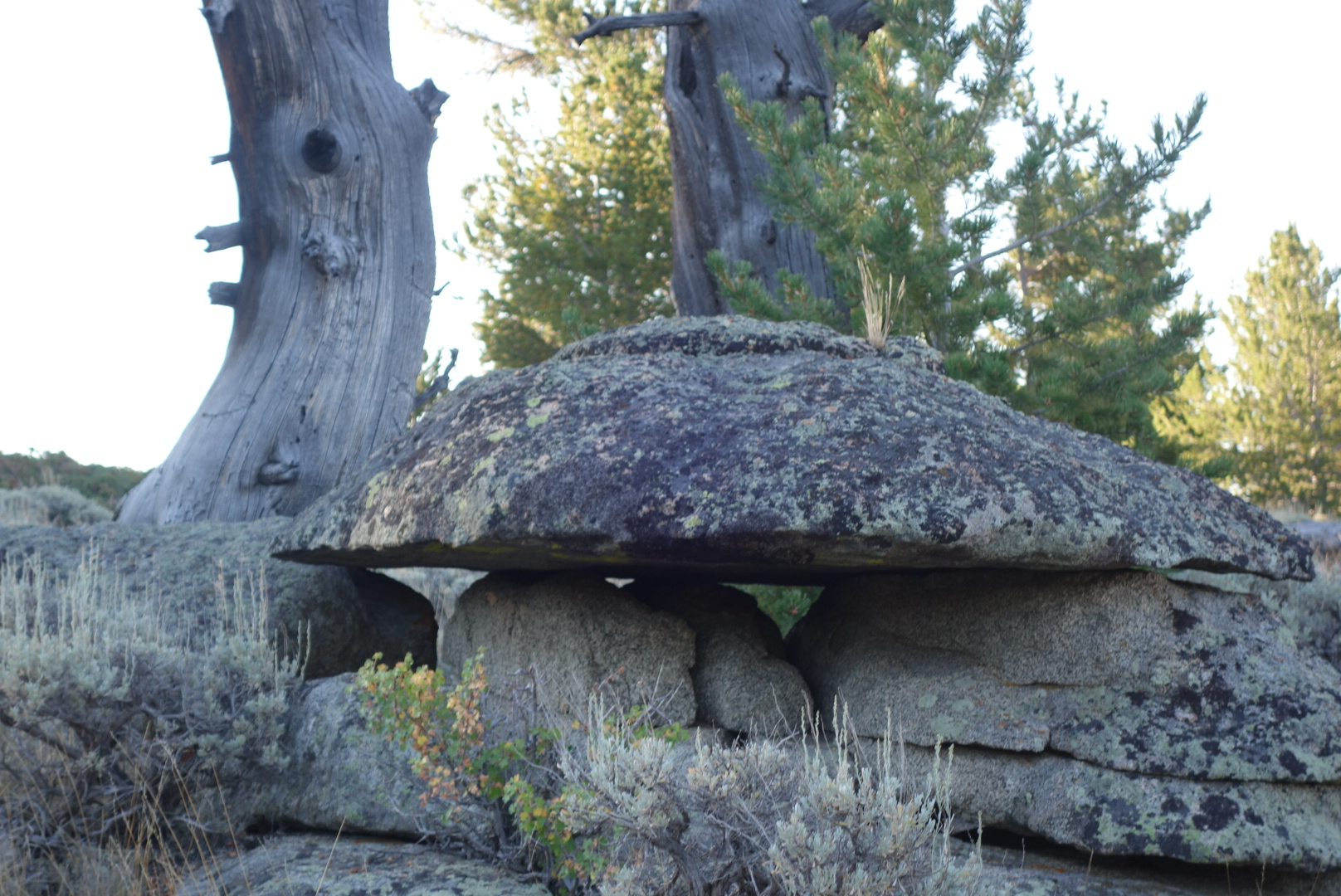
Once past highway 28, the land was mostly flat and sagebrush. At first the trail followed dirt roads, but then it was designed to go across the terrain, marked every quarter mile or so with a carsonite post with a CDT sticker at the top. One would think a walk through sagebrush would be easy, but it is not. Sage brush does not spread symetrically and unless there is a worn tread, the process is to generally note a path with some gaps between sagebrush plants and then twist through. There are inevitably a lot of leg scratches in this kind of terrain.
Around noon I dropped down into South Pass City. It was a historical town I was looking forward to seeing, plus it was a resupply point. It is a town with most of the buildings well preserved. You get a very good sense what it might’ve been like to live in a mining town on the frontier. I was struck by two things. First, people really had hard scrabble lives, having crude selections of foods, information, and people. Second, to combat this, people seemed to spend their time on diversions such as gambling and alcohol which nowadays have robust help programs. Incidentally, you can notice where some of the old pine structures were repaired in the recent era. It is striking how the old logs have no beetle damage, but the new ones are obviously scarred.
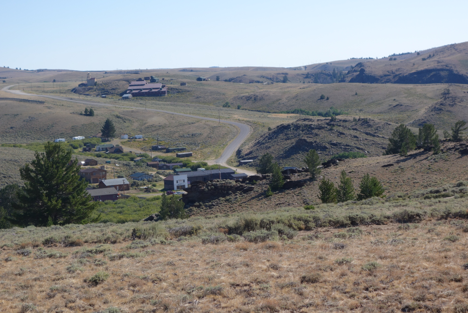
As a backpacker, South Pass City is also pretty nice. They hold resupply packages, have free elctricity and water, and will let you camp in a discrete area if you ask. Unfortunately, a few backpackers have taken to sleeping in their public restroom, so it is not clear how long the welcome mat will be out. Regardless, the lady in the General Store when I went through, Sandy, was incredibly helpful. On a lark, I wondered if she had any duct tape which I could use to tape up my rapidly disintegrating shoes. She said she did not, but thought the maintenance people would, so she closed shop, found the maintenance crew, secured the duct tape, and let me use as much as I needed.
After spending almost two hours at this site, I headed out towards the Great Divide Basin. To get there I had to climb a last few mountains. I pulled out my umbrella to reflect the heat as I left the historic site. There was a tour group concluding and I believe they got a kick out of a through hiker walking past with an umbrella. Also, it was intersting to note, once I got up on a vantage point, that there are still some some small scale mining operations that appeared to be running. Hope springs eternal (depending on commodity prices).
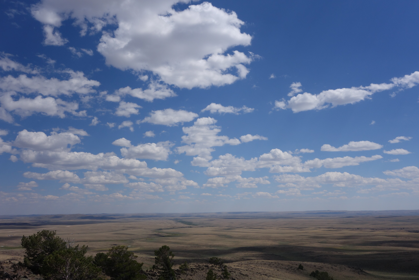
At last I was on a peak where I could see the Great Divide Basin spread out in front of me. It is a treeless expanse stretching for over 100 miles each way. Little known, the ironic fact about this area is that it is an endorheic basin which means that any rainfall goes to neither ocean and stays in the basin itself. Thus, the Continental Divide Trail spends a considerable amount of time at the ridge line of our continent, but also cuts through one of the largest areas where there is no divide.
I walked down and in to the Basin. It was clear and warm with a slight breeze. I generally try to stay on the official trail. However, once down in the basin the trail parallels a graded gravel road for 17 miles. I tried to stay on the trail as it followed a low ridge, but the lack of tread, missing trail signs, and sharp rocks on unraveling shoes prompted me to get over to the gravel road.
Most people driving by were courteous: they slowed down to reduce dust clouds, waved, and then sped up after they passed widely. One dude, unfortunately, actually accelerated and stayed close to my side of the road. This one negatve was grossly outweighed by several kindnesses. For one, a guy with Oklahoma plates drove past, stopped, and then backed up. He asked me if I’d like some water or ice. I could not believe the singular contrast of a through hiker in the Great Divide Basin walking along with a liter of ice cubes. For another, I was talking to a continental divide biker who came along. I was sitting on the ground. A car stopped and asked if I needed help. Again, sometimes when you see fewer people the greater your appreciation for humanity.
I ended up near a bridge that crossed the Sweetwater River. I had never considered cow dung to be a sweetner, but that appeared to be the principal addition to the River from what I could see. In the fading desert light, I found a shallow clearing in the sage brush on the opposite side of the fence where the cattle would come at night to congreagate by the River and add their sweetness. Out here you learn quickly that cattle love to gather at night and it is a noisy process.
I fell asleep cowboy camping just before the moon rose. After about an hour, I was jerked awake by a very close sound. There is no way to tell who was more surprised. Me, upon seeing a large eared jack rabbit looking at me from about 8 feet away or, the jack rabbit seeing a large blue sleeping bag suddenly rise at one end with a scruffy face peering out of the end. We left it as a tie and I went back to sleep as the cattle sorted things out in the distance.

